Topographical Survey Dubai
Accurate topographical surveys in Dubai capturing terrain features, ground levels, and surface detail for engineering design, planning, and development projects.
Topographical Survey Services in Dubai & Across the UAE
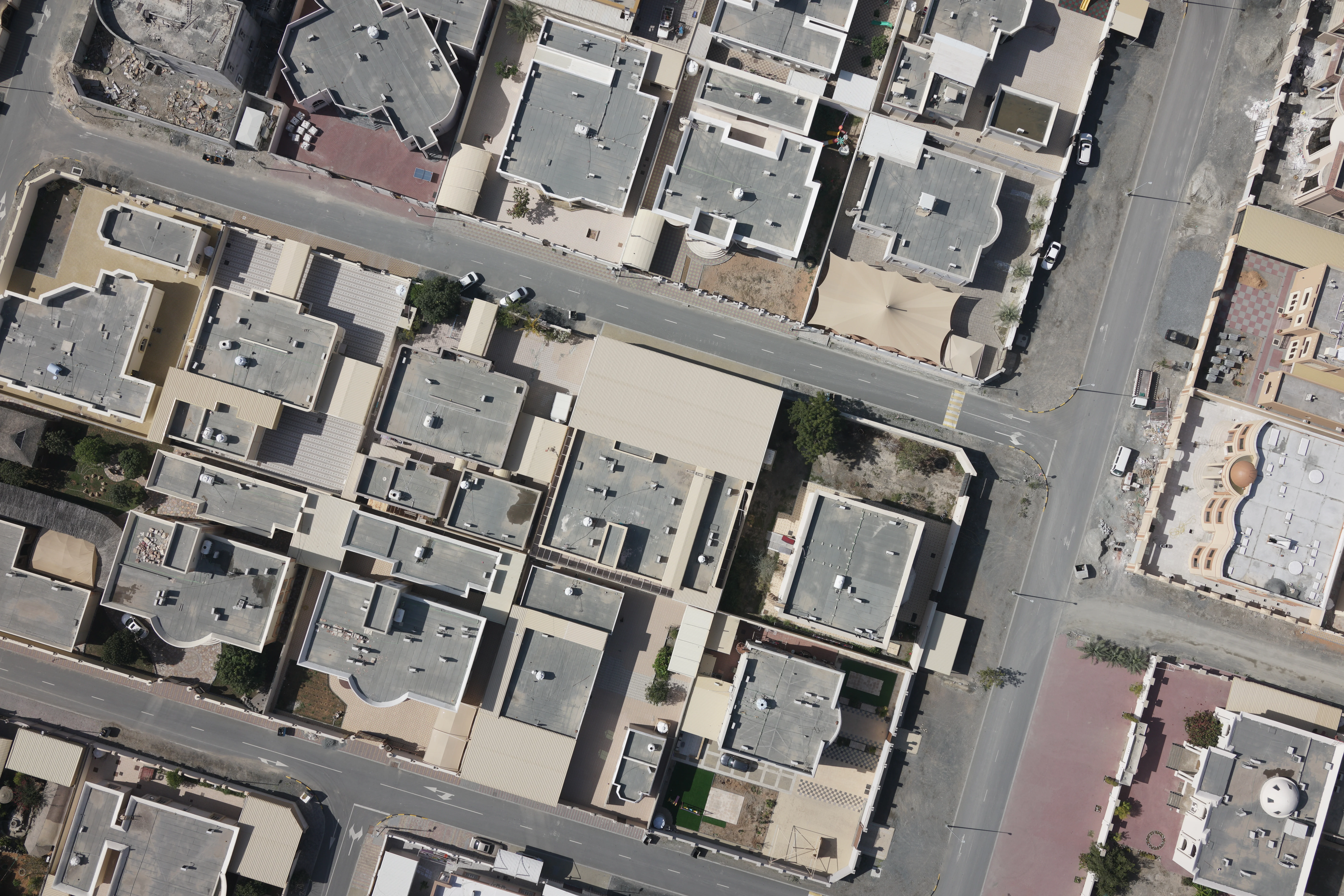
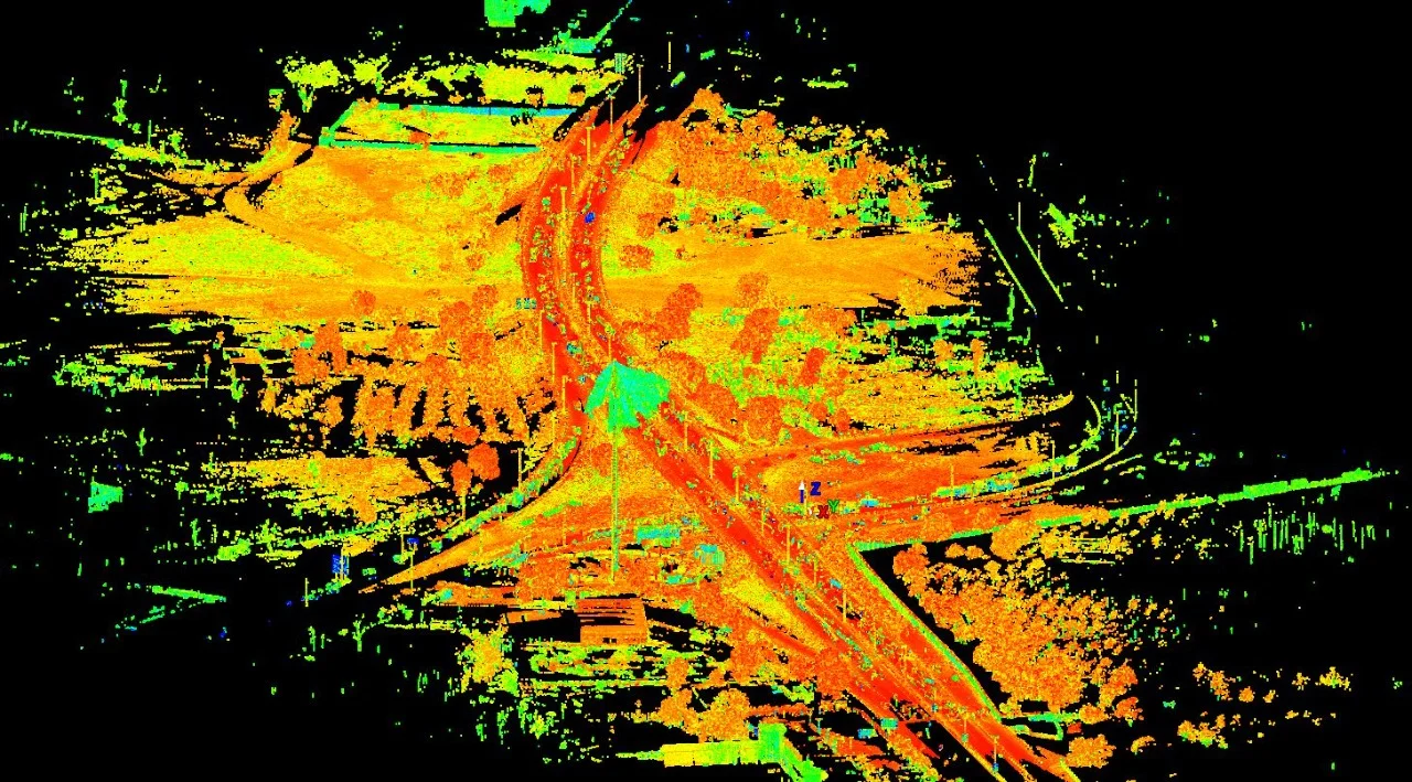
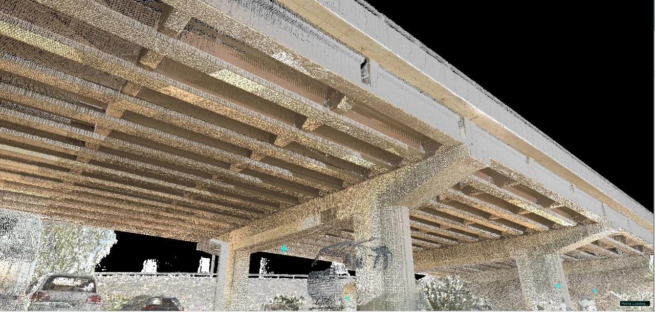
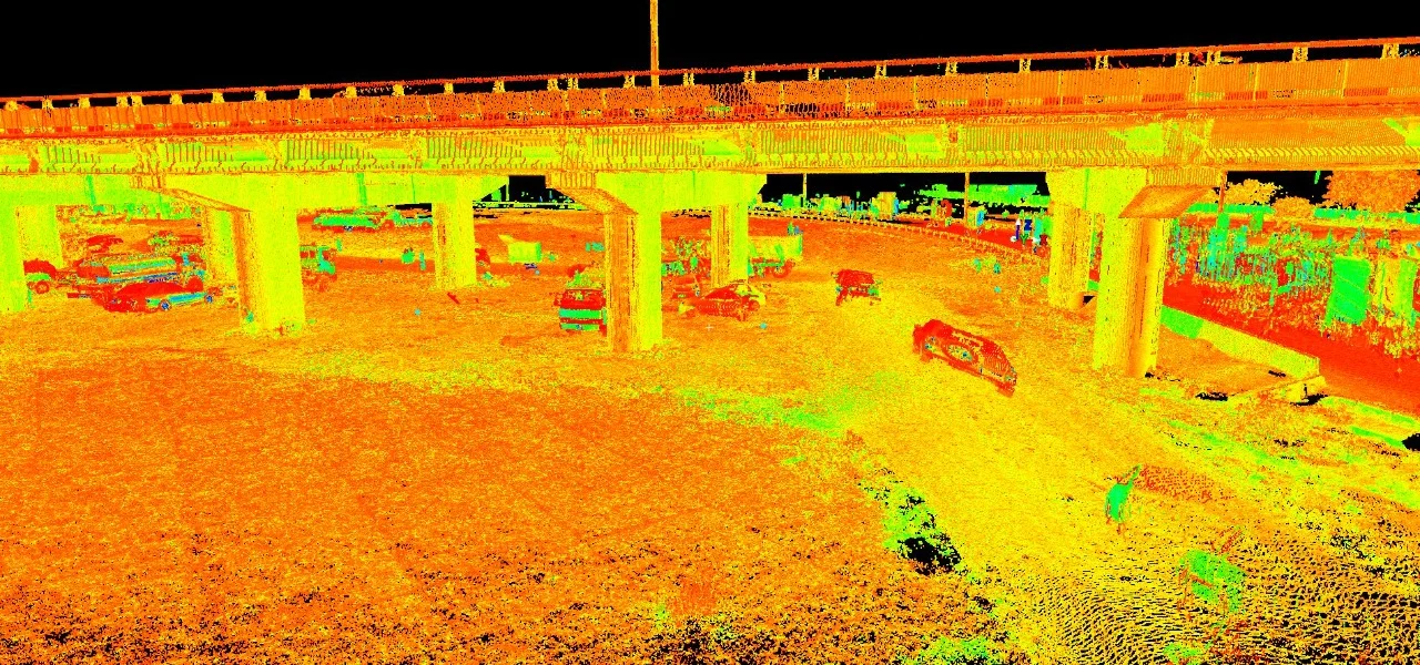
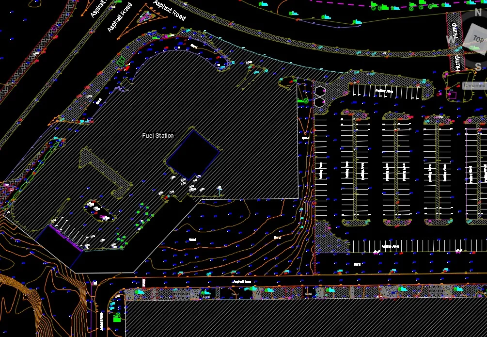
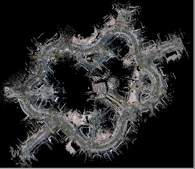
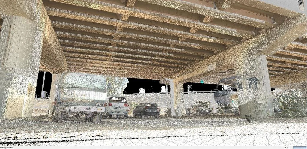
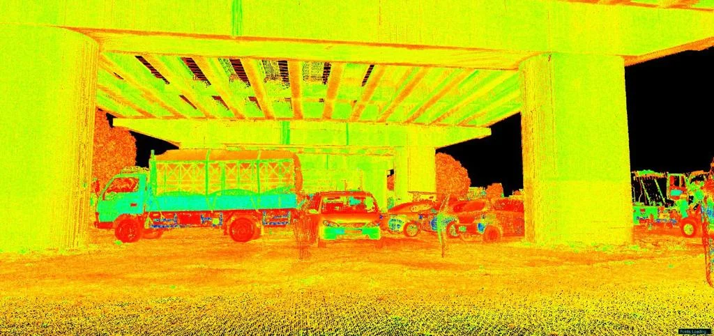
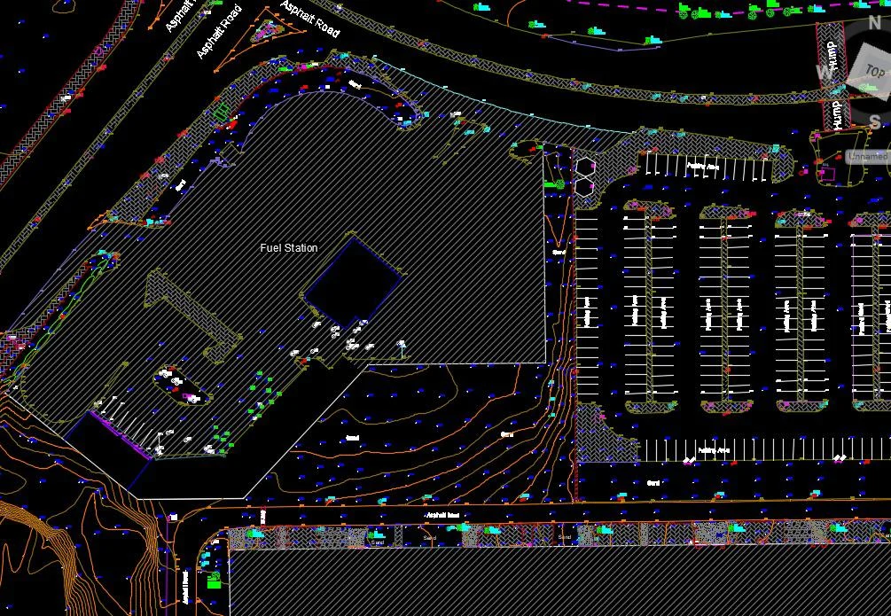
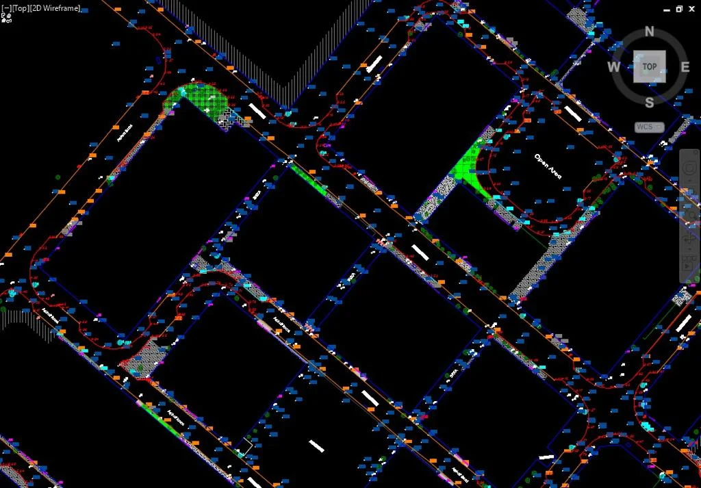
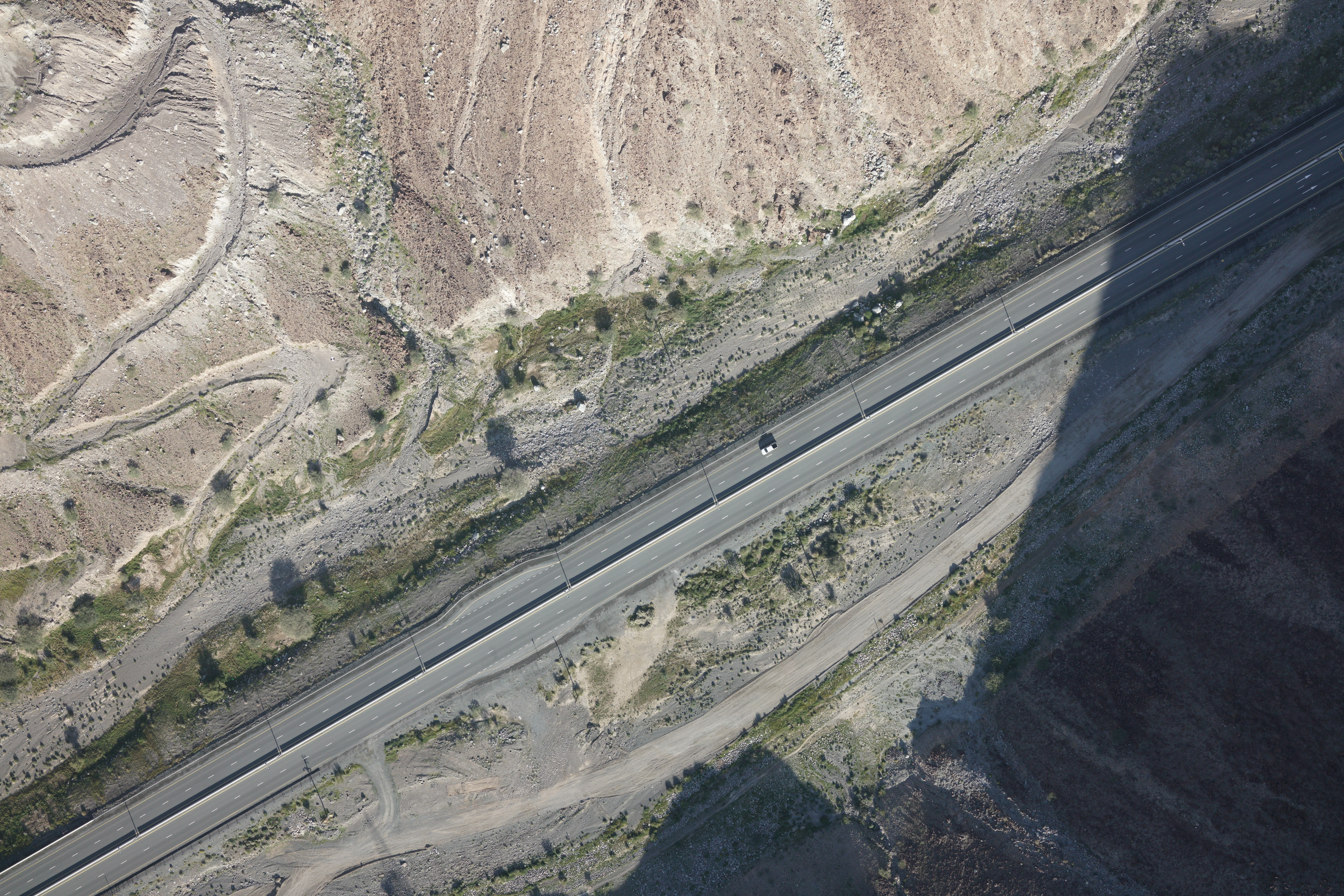
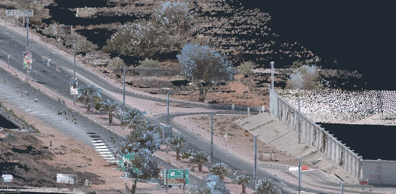
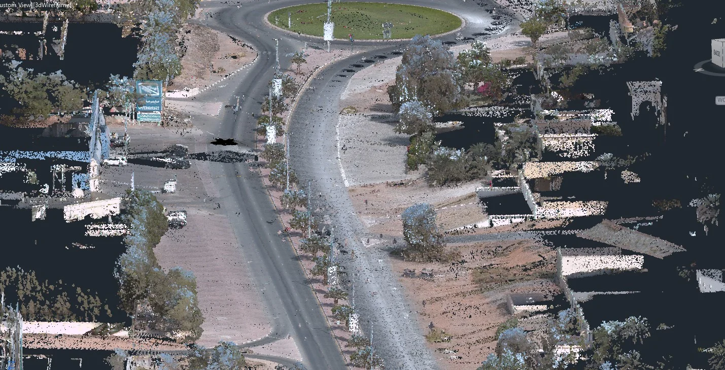
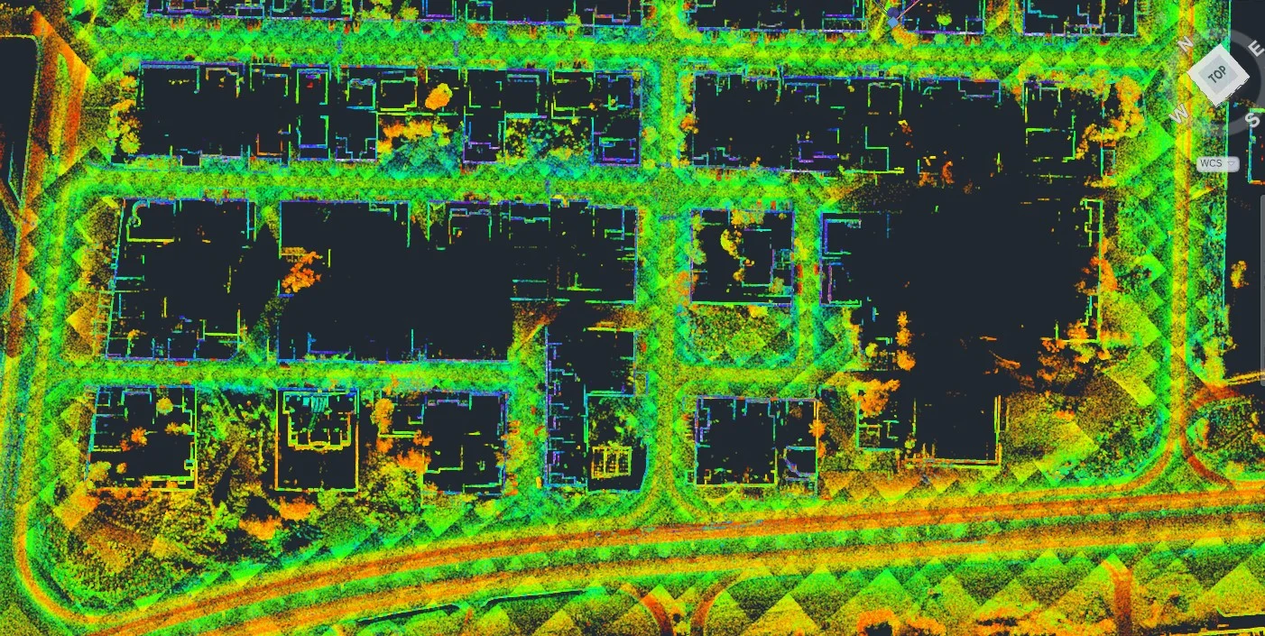
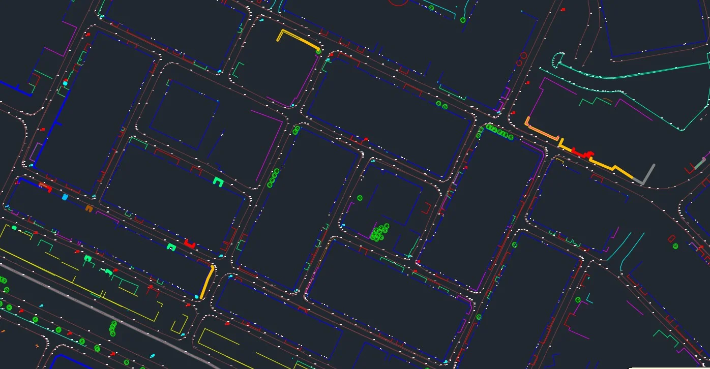
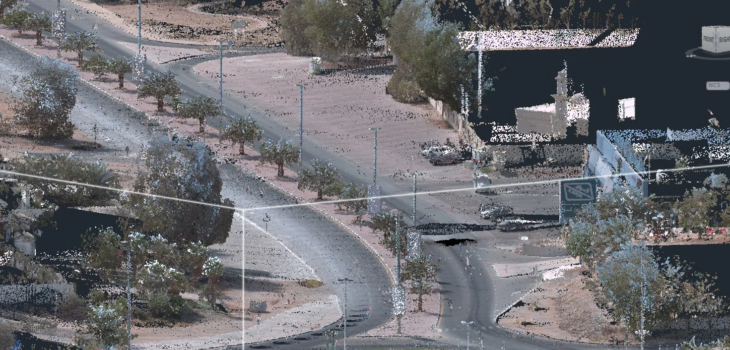
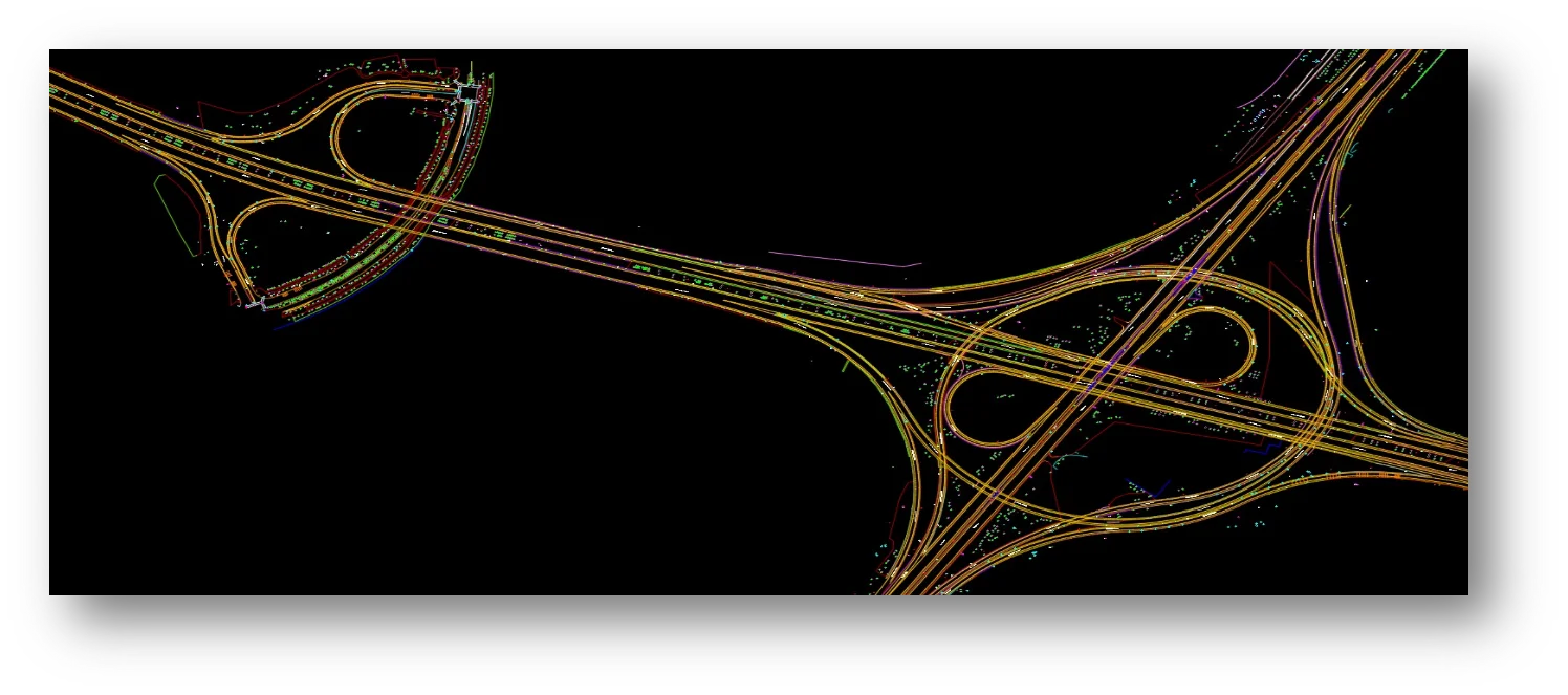
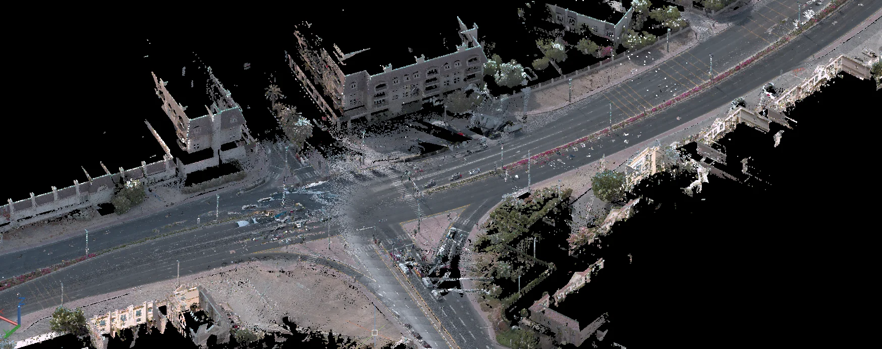
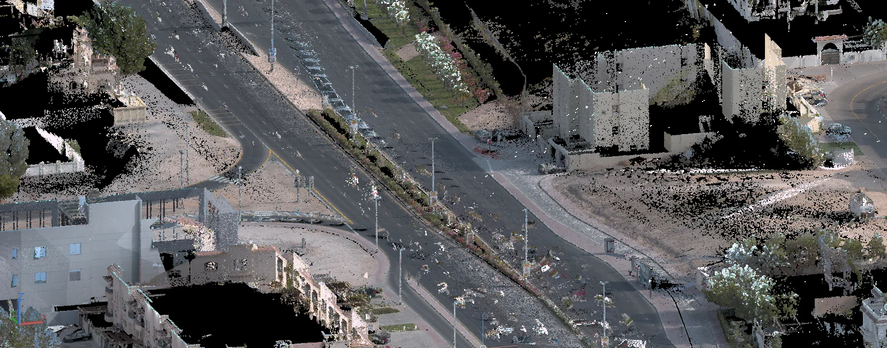
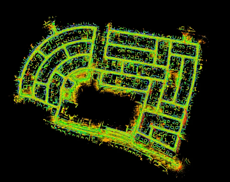
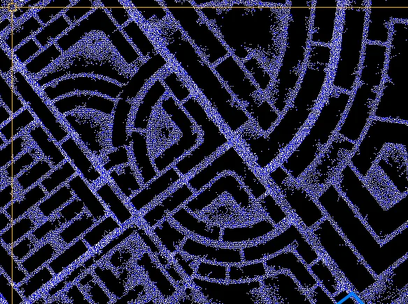
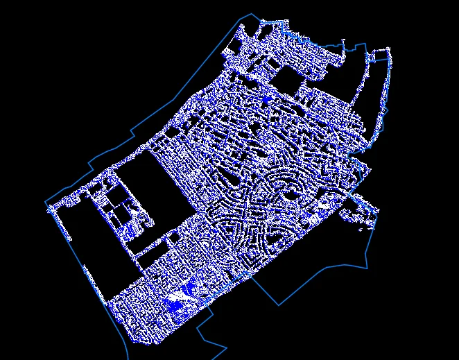
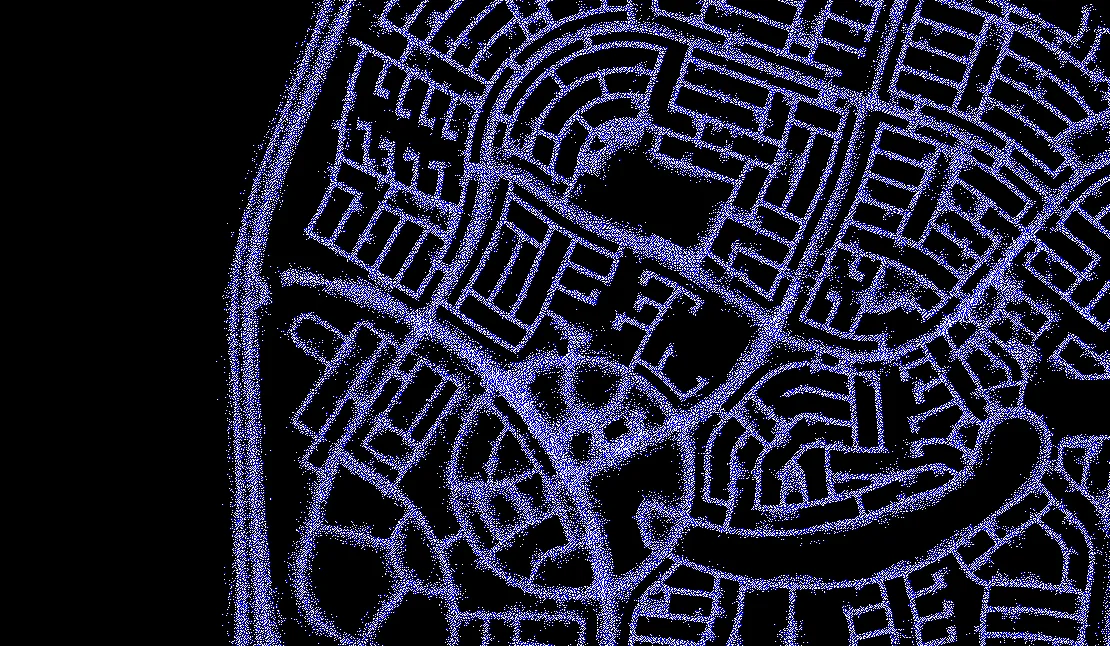
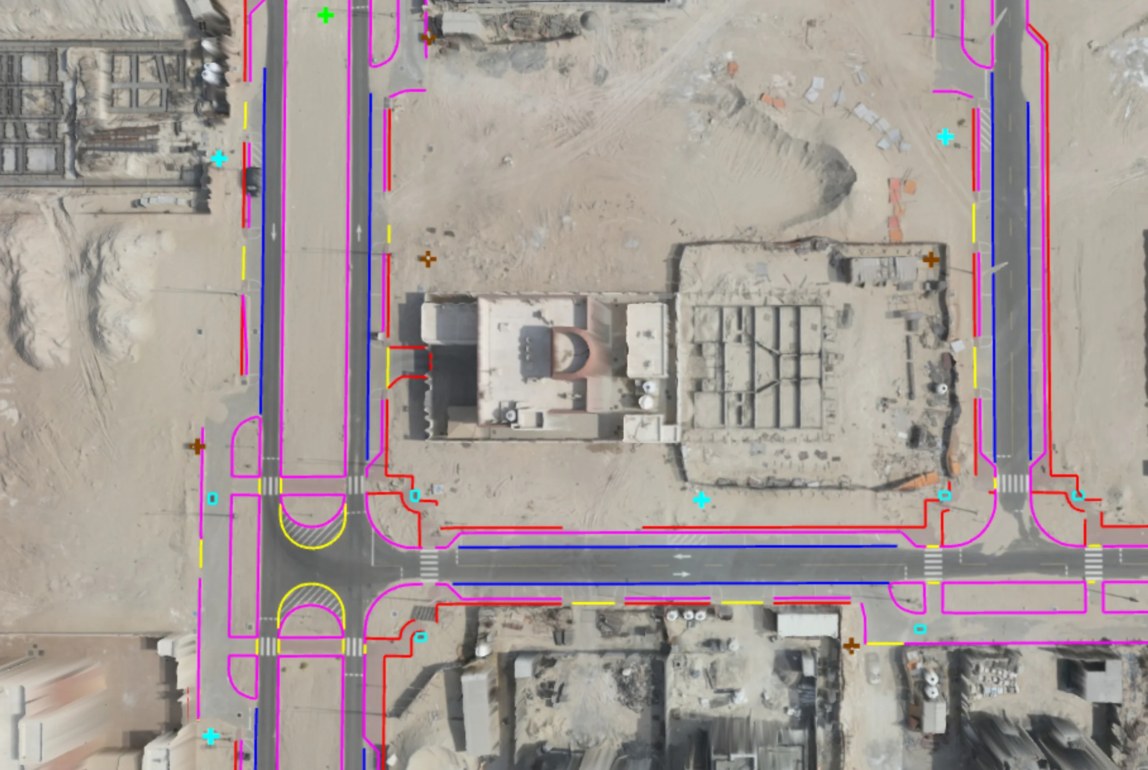
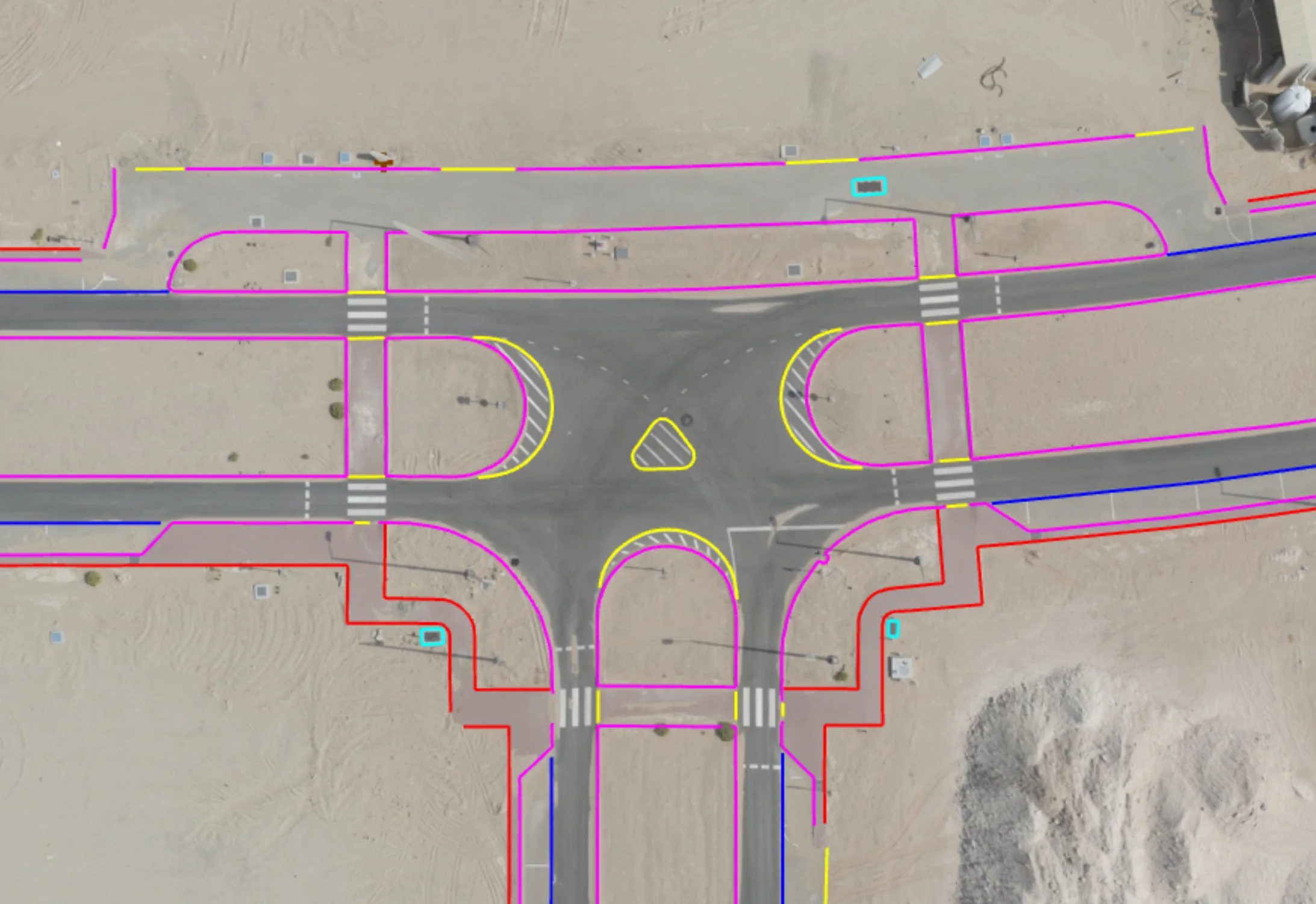
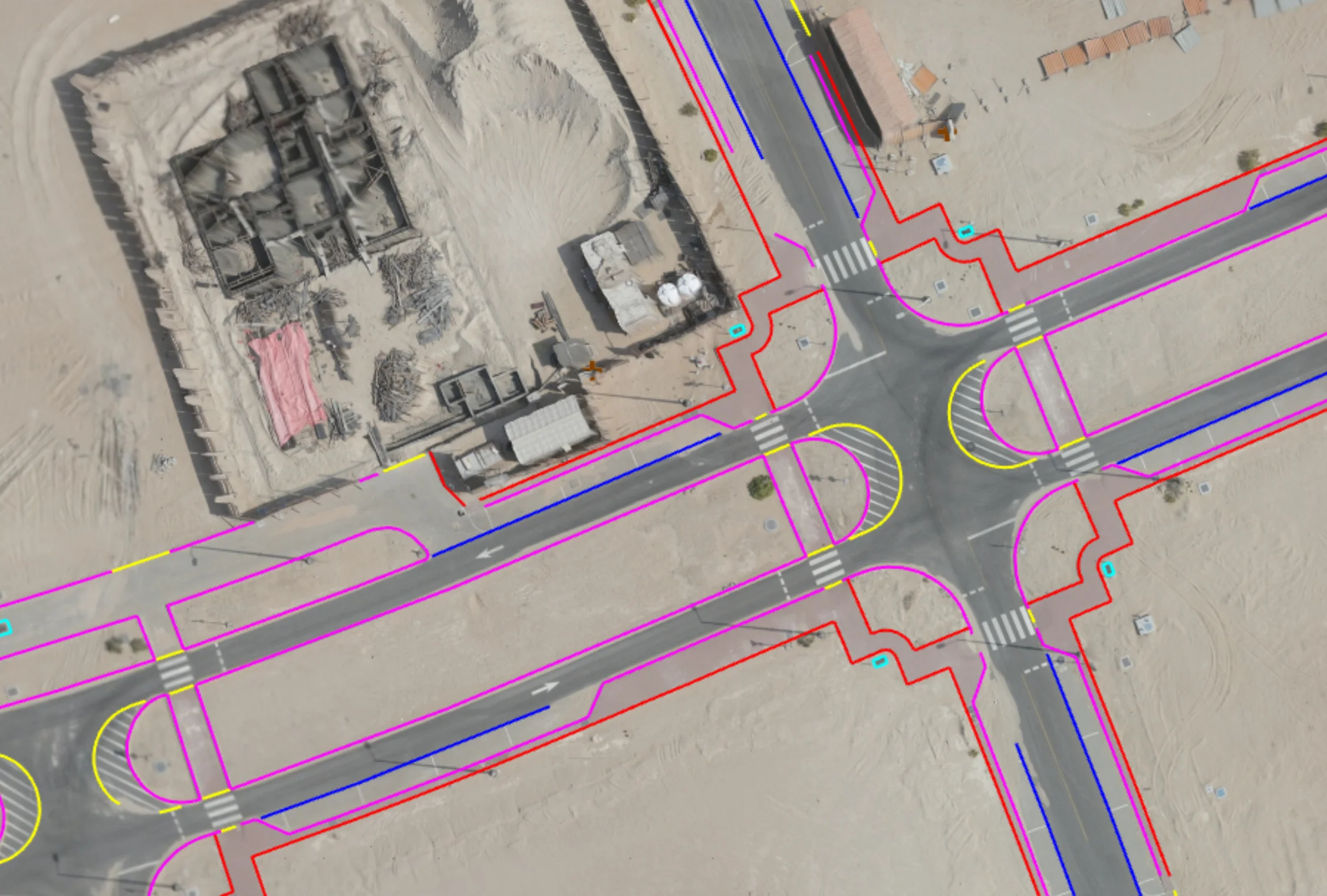
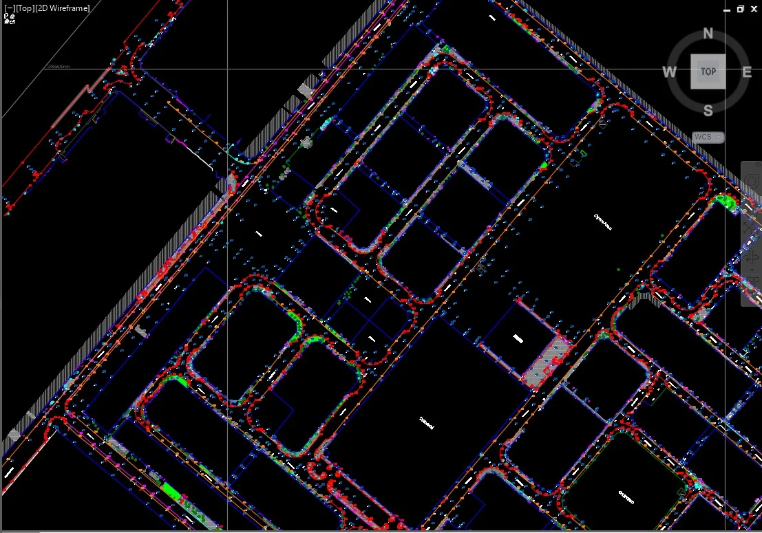
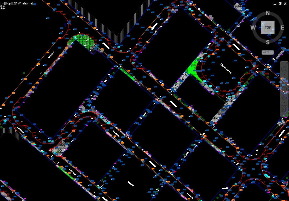
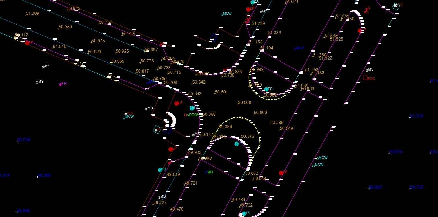
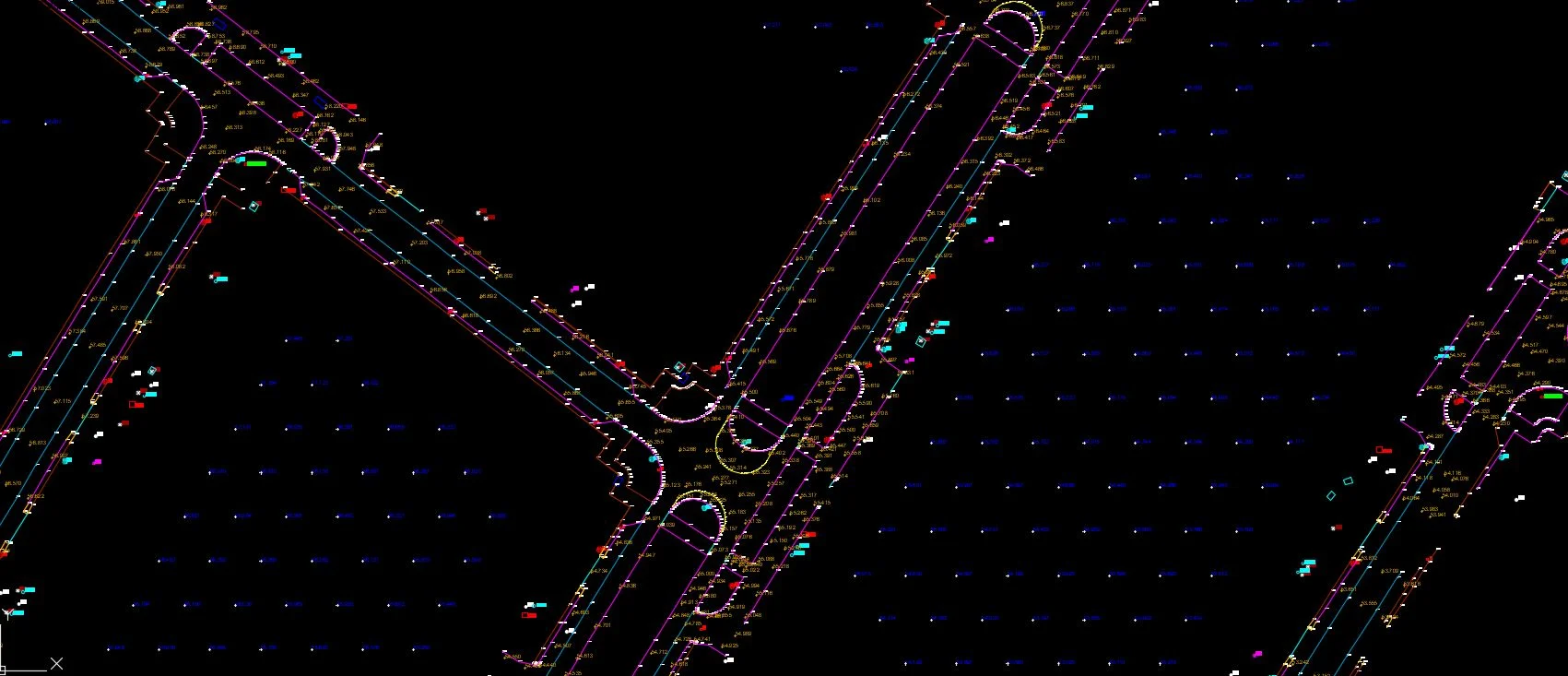
A topographical survey captures the three-dimensional shape of a site — ground levels, natural features, existing structures, utilities, and vegetation — producing a scaled plan used as the base for engineering design and planning submissions.
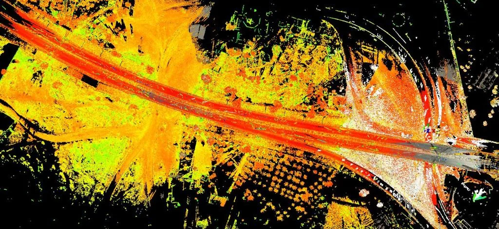
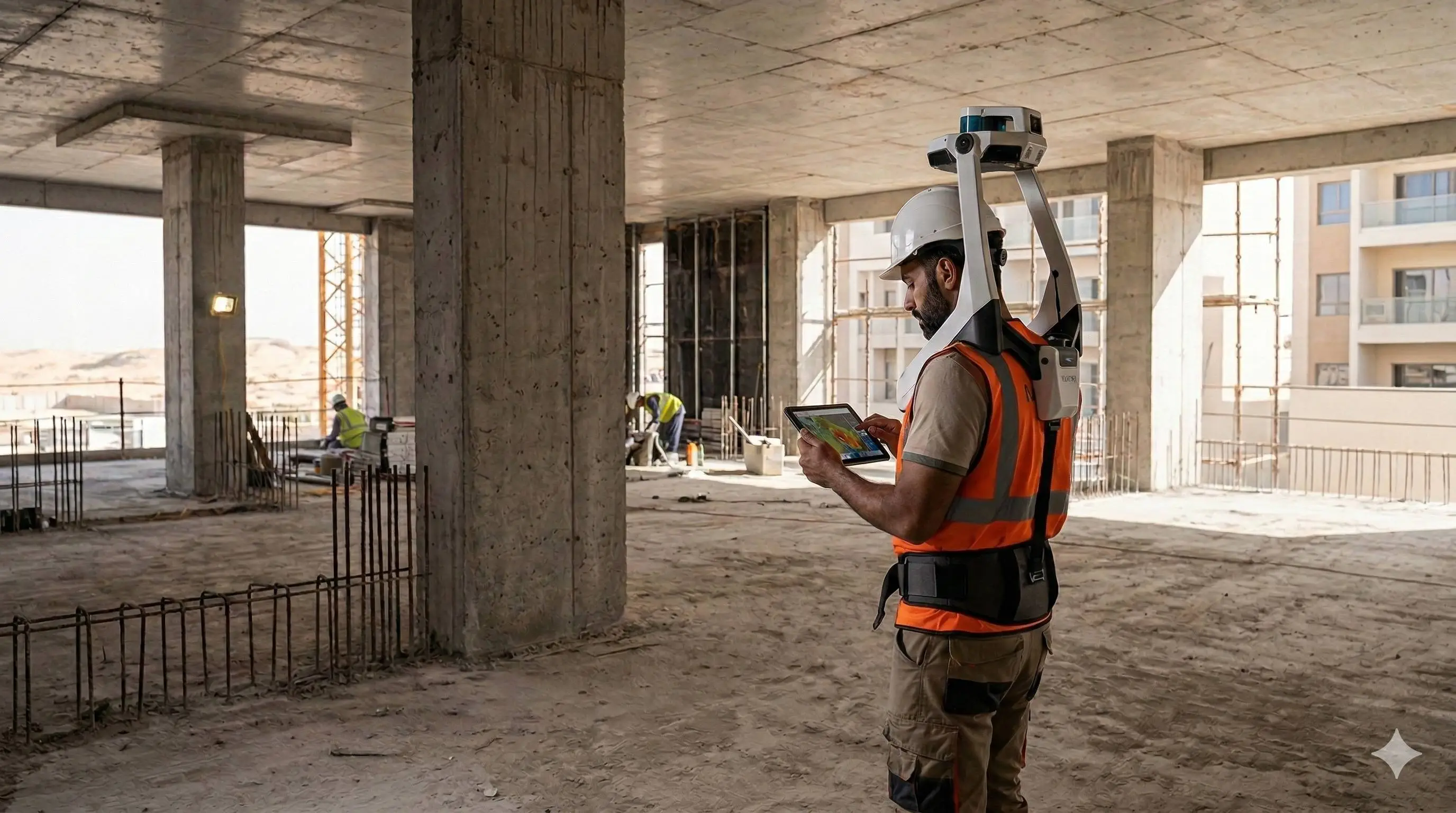
Al Warqa Survey Engineering delivers topographical surveys across Dubai, Abu Dhabi, Sharjah, and the wider UAE using GNSS, total station, and drone photogrammetry. Our survey plans comply with Dubai Municipality and relevant authority standards.
Our Methodology
Delivering excellence through a proven three-stage workflow
Control Network Establishment
Setup of horizontal and vertical control referenced to the national or project datum for consistent positional accuracy.
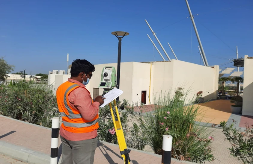
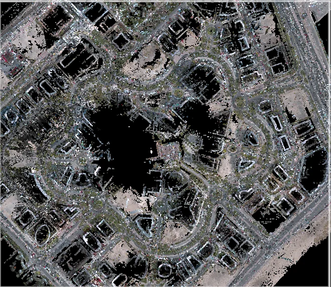
Field Data Capture
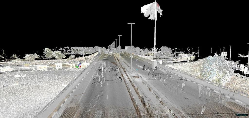
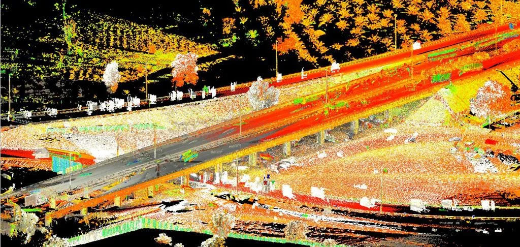
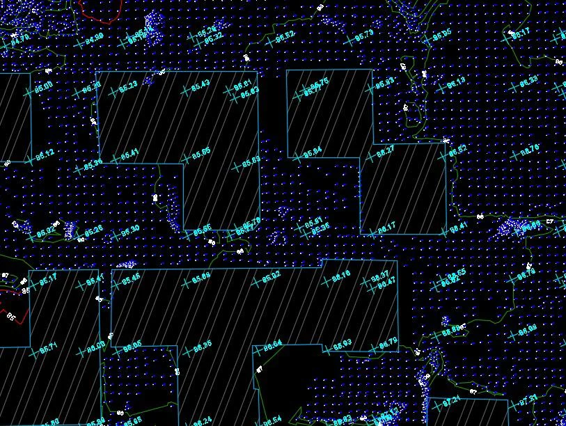
Systematic measurement of ground levels, features, and structures using GNSS and total station equipment.
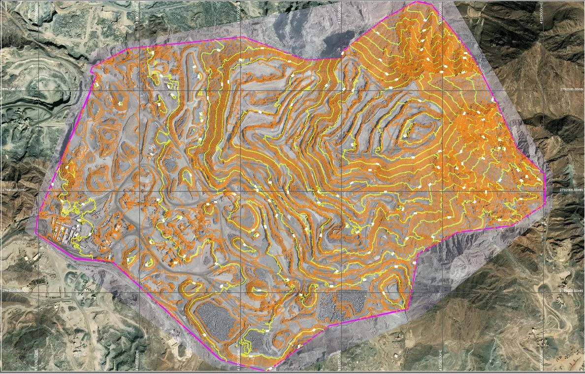
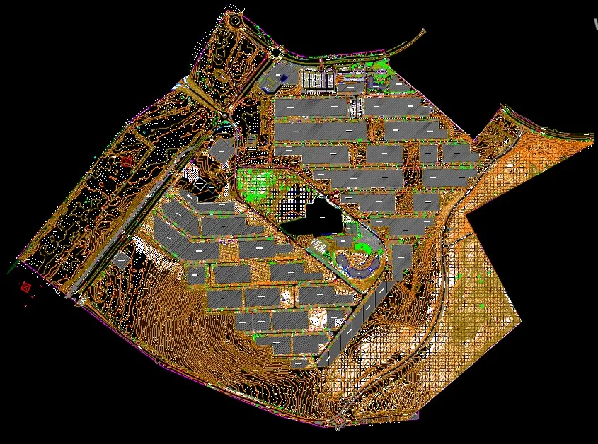
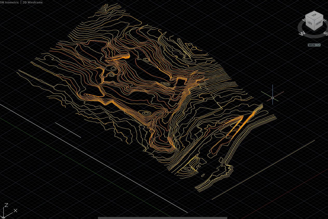
Drawing & Model Production
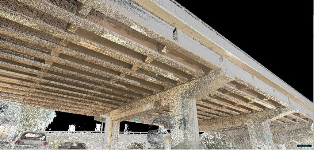
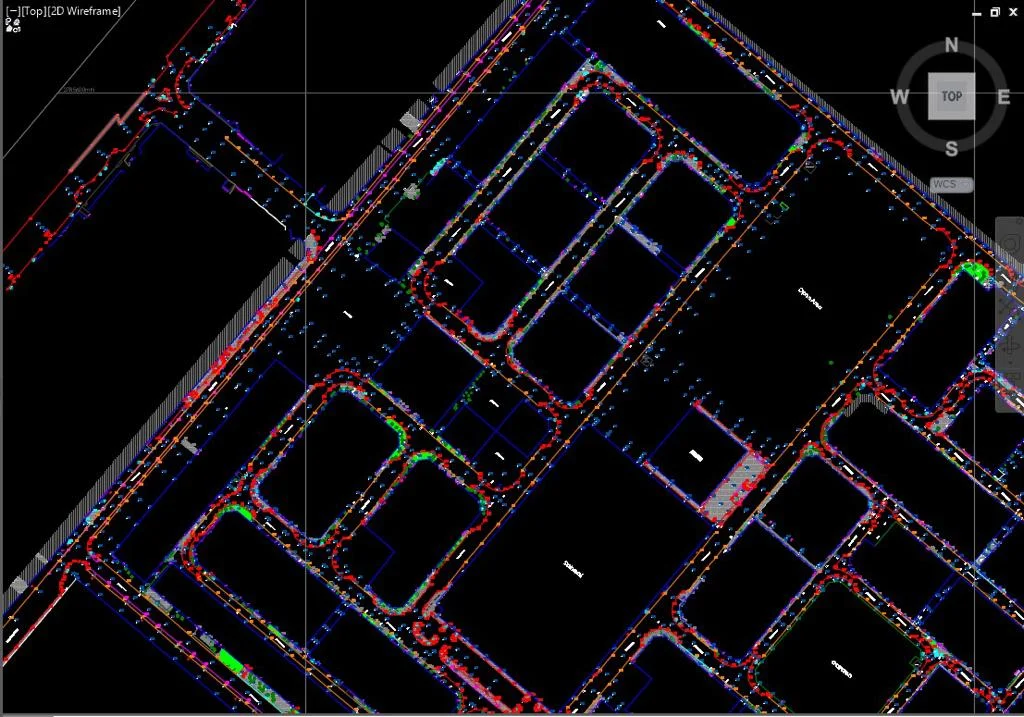
Processing field data into topographic plans, contour maps, and digital terrain models in required formats.
Applications
Industry sectors and use cases we serve
Engineering Design Base Maps
Provides ground truth for structural, civil, and MEP design
Planning & Development Submissions
Required for authority approvals and master planning
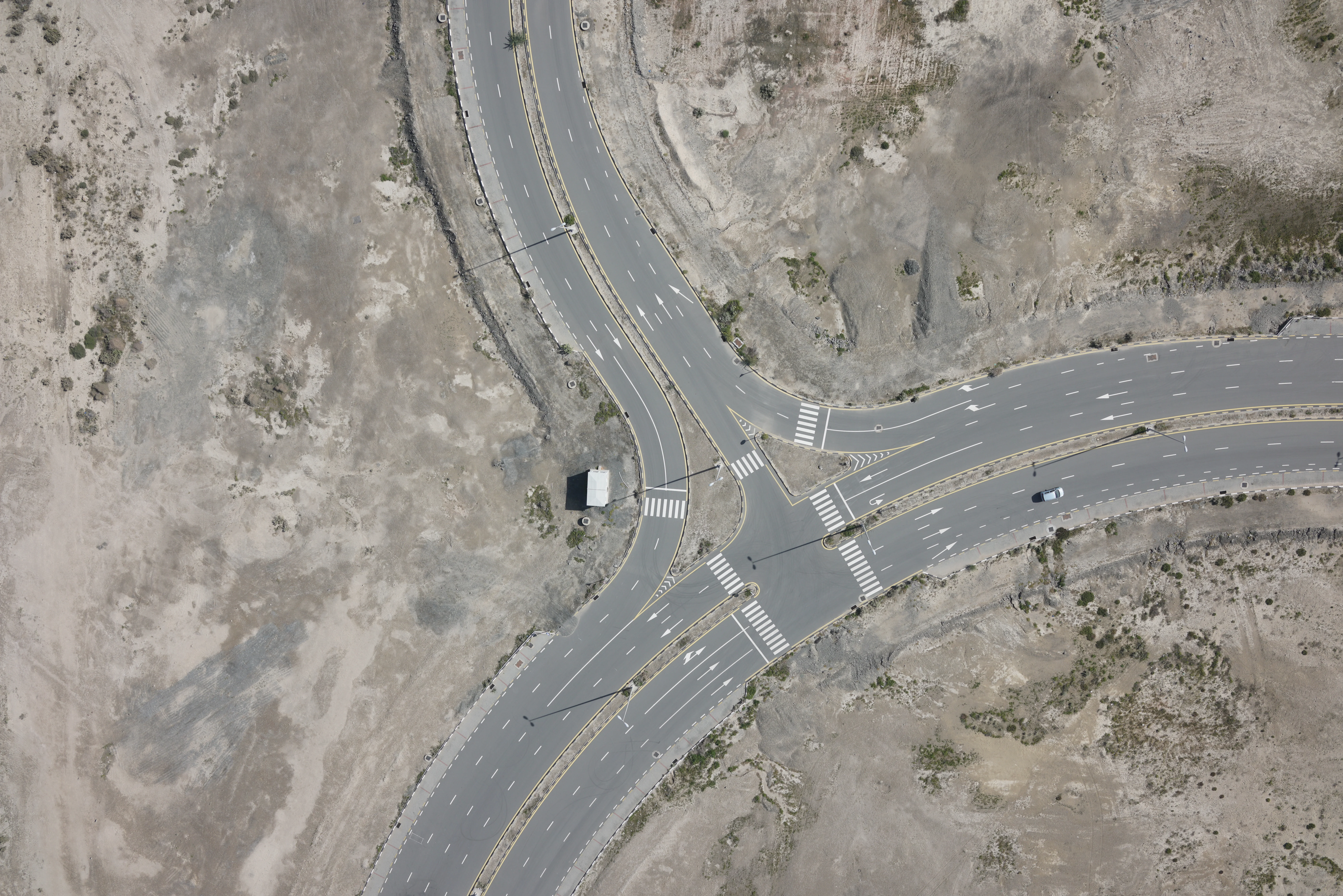
Road & Infrastructure Projects
Captures existing conditions for road design and drainage
Contour & Drainage Analysis
Defines terrain for flood, drainage, and grading studies
Construction Planning
Establishes existing ground levels before earthworks begin
Deliverables
What you receive at the end of every project
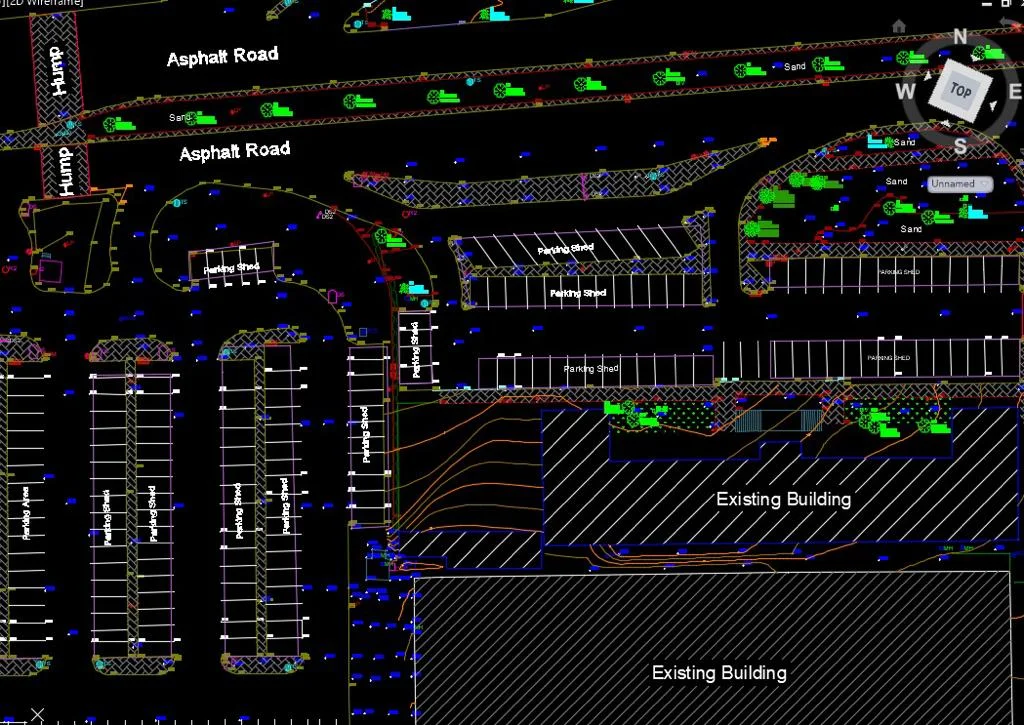
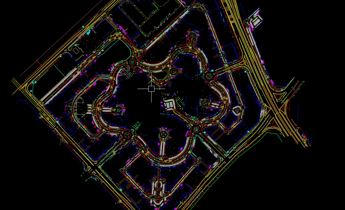
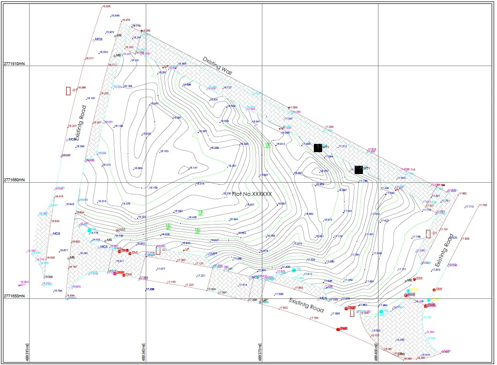
- Topographic survey planDWG / DXF
- Contour lines at required intervals
- Spot levels and level grid
- Feature and detail survey
- Digital Terrain Model (DTM)
- GIS layersSHP / Geodatabase
- Survey report with accuracy statement


Technology Stack
Industry-leading equipment and software
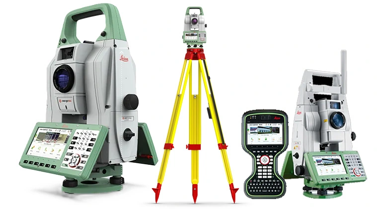
GNSS & Total Stations
Advanced surveying technology for precision data capture and analysis.
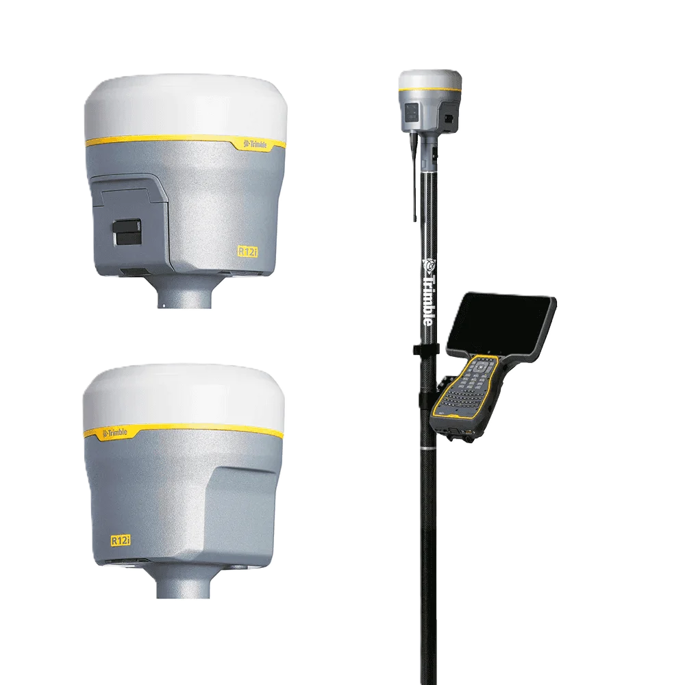
Trimble R12 GNSS
Advanced surveying technology for precision data capture and analysis.
AutoCAD
Advanced surveying technology for precision data capture and analysis.

Global Mapper
Advanced surveying technology for precision data capture and analysis.

Leica Captivate
Advanced surveying technology for precision data capture and analysis.
Frequently Asked Questions
A topographical survey is used as the base drawing for engineering and architectural design, showing existing ground levels, structures, utilities, and features. It is required for planning applications and construction projects.
Standard contour intervals are 0.5m or 1m for flat UAE terrain. We match the interval to your project requirements and can produce 0.25m contours for detailed work.
Yes, all topographic surveys are delivered in DWG/DXF format compatible with AutoCAD, Civil 3D, and other design software, alongside PDF hard copies.
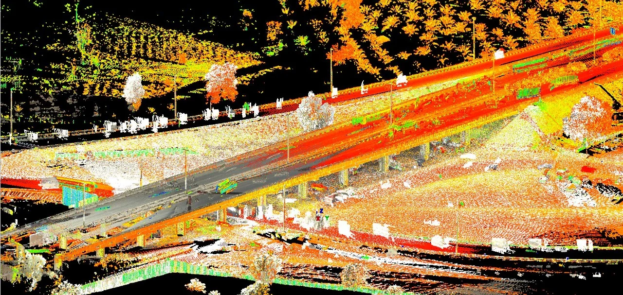
Yes. For large sites we combine GNSS ground control with drone photogrammetry to efficiently capture terrain data, reducing fieldwork time while maintaining accuracy.
Have more questions?
Our team of experts is ready to assist you with your specific project requirements across the GCC.
Related Services
Explore our other professional surveying solutions
Land Survey Dubai
Professional land survey services in Dubai for construction, development, and infrastructure projects. Authority-approved, ISO-certified, 25+ years experience.

Aerial Drone Mapping
High-resolution aerial data acquisition for terrain modeling, volumetric analysis, and site documentation.
As-Built Survey Dubai
Accurate as-built surveys in Dubai documenting completed construction against approved designs. CAD drawings and point cloud capture for authorities, developers, and contractors.
Contact us directly
Reach our team instantly via WhatsApp, phone, or email.
Also available in Riyadh