Stockpile Survey UAE
Accurate volume measurement of stockpiles and earthworks across UAE quarries, construction sites, and industrial yards using drone photogrammetry and GNSS survey methods.
Stockpile Volume Measurement in the UAE
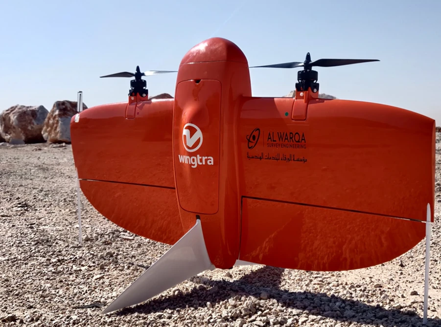
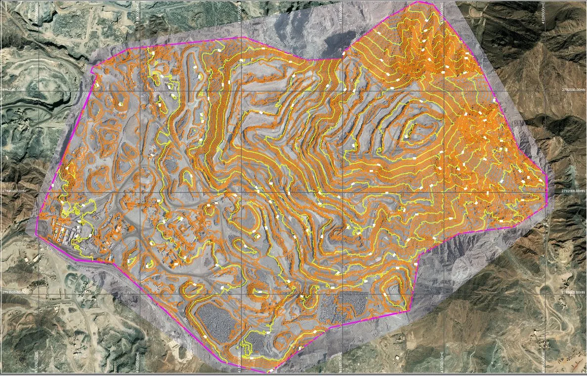
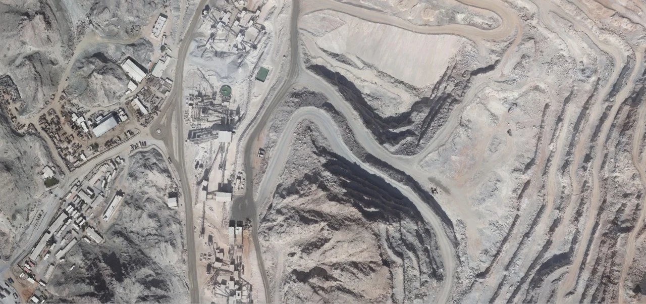
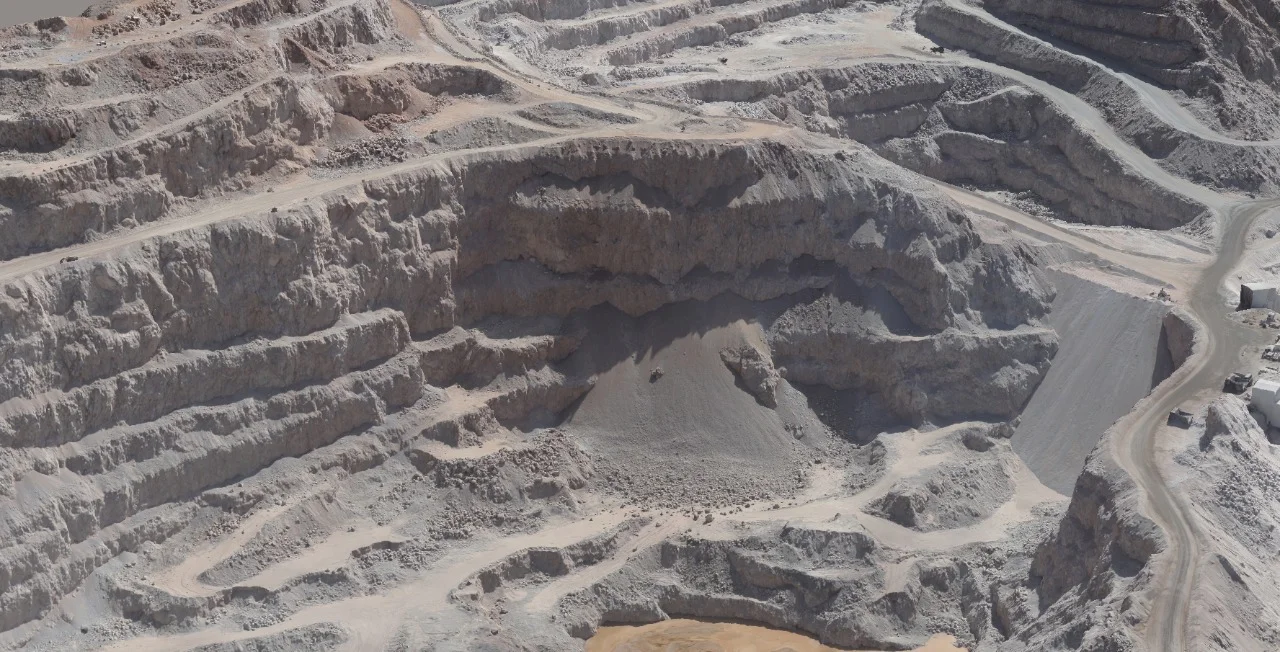
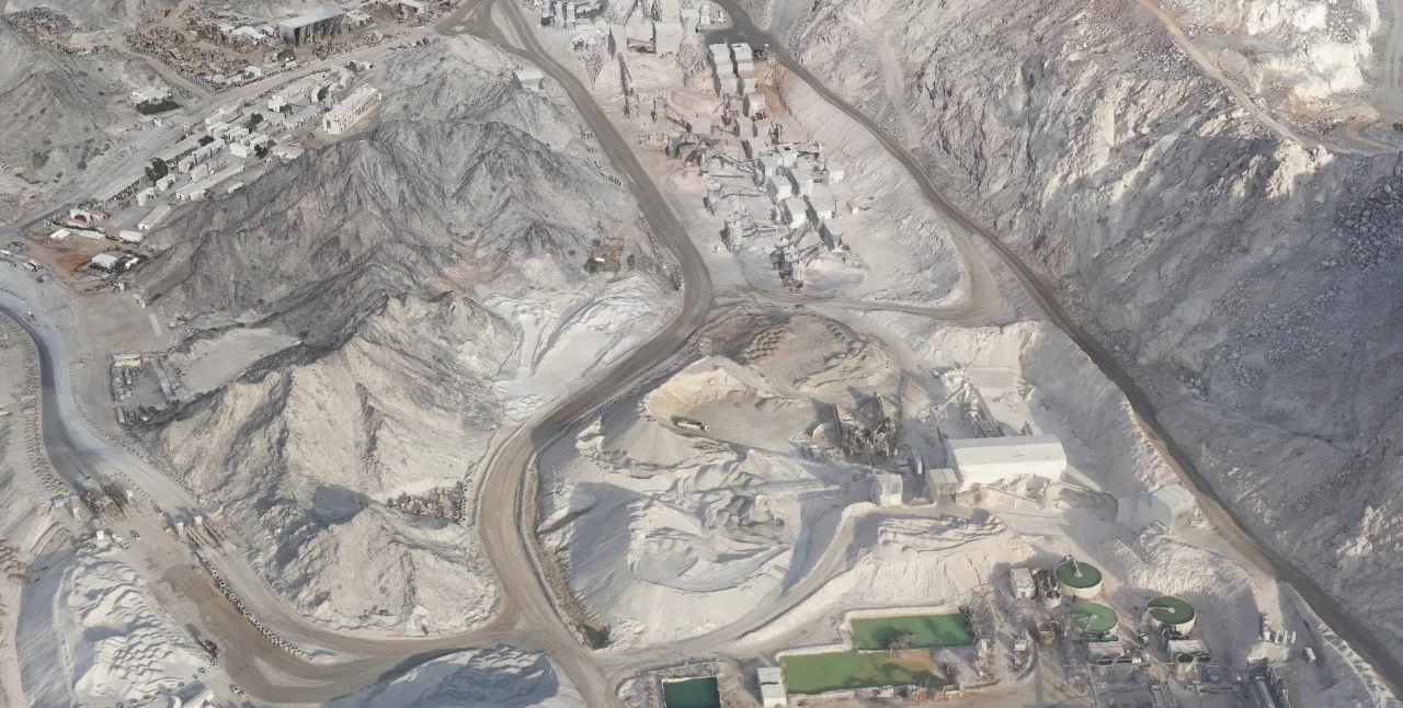
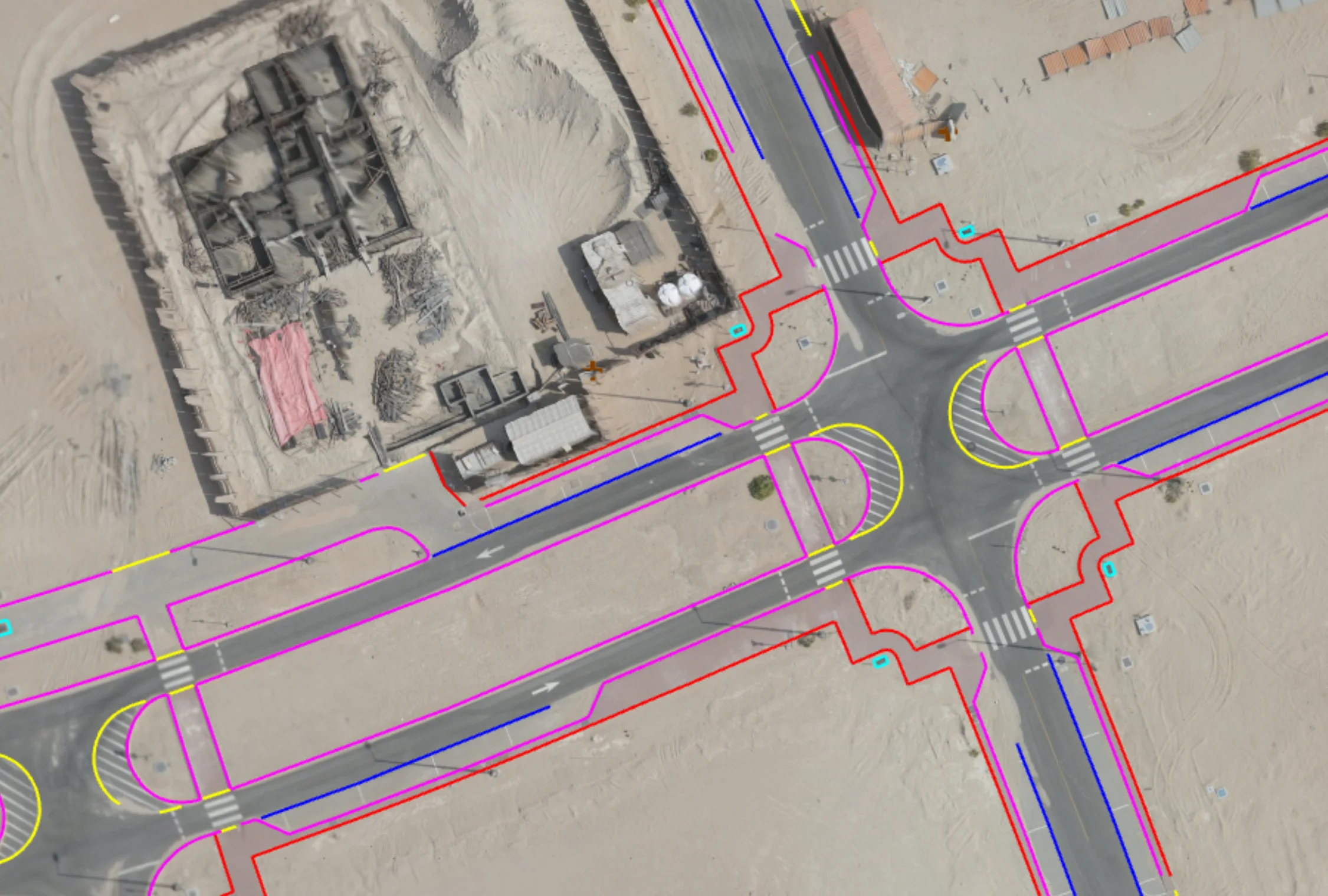
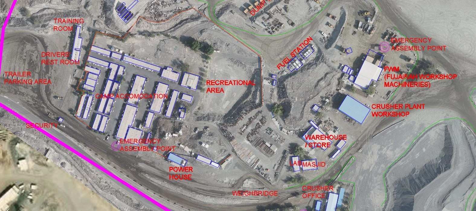
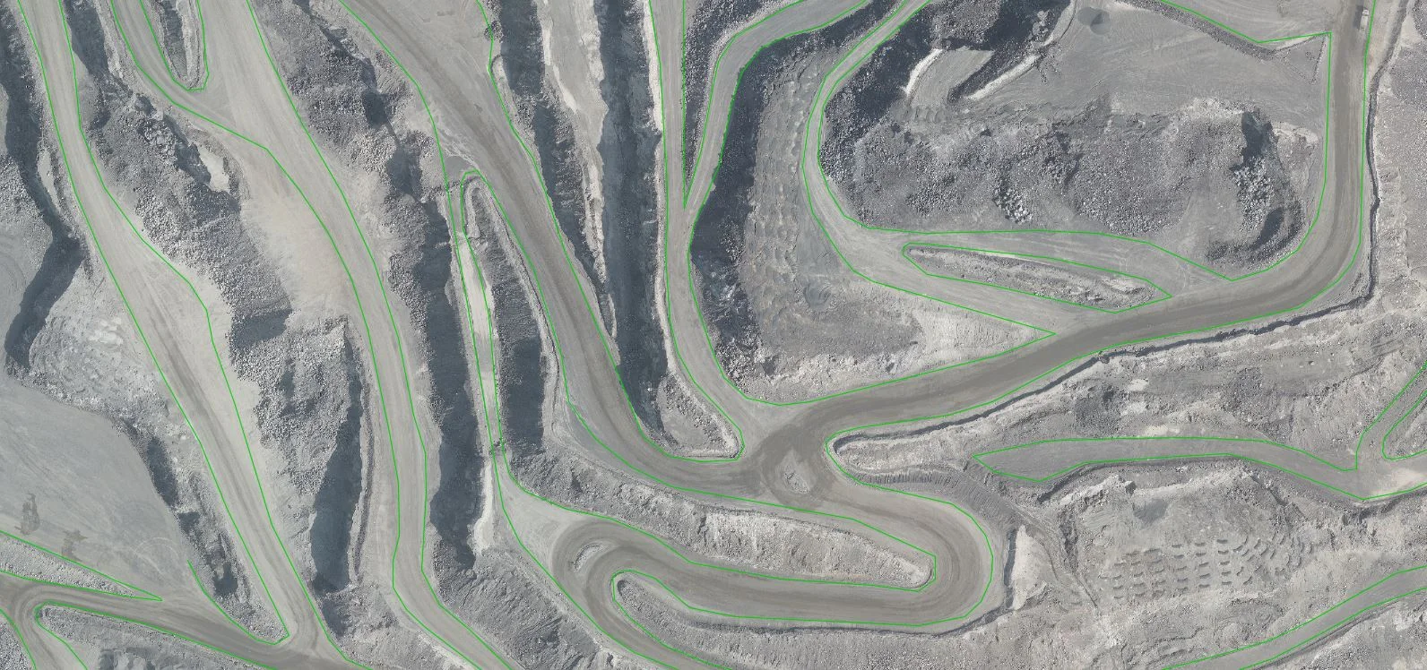
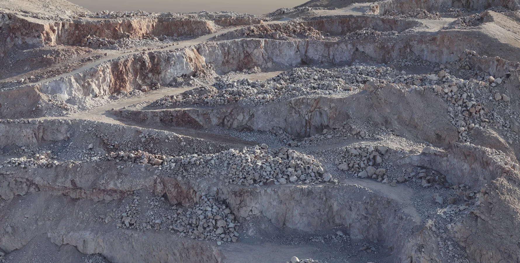
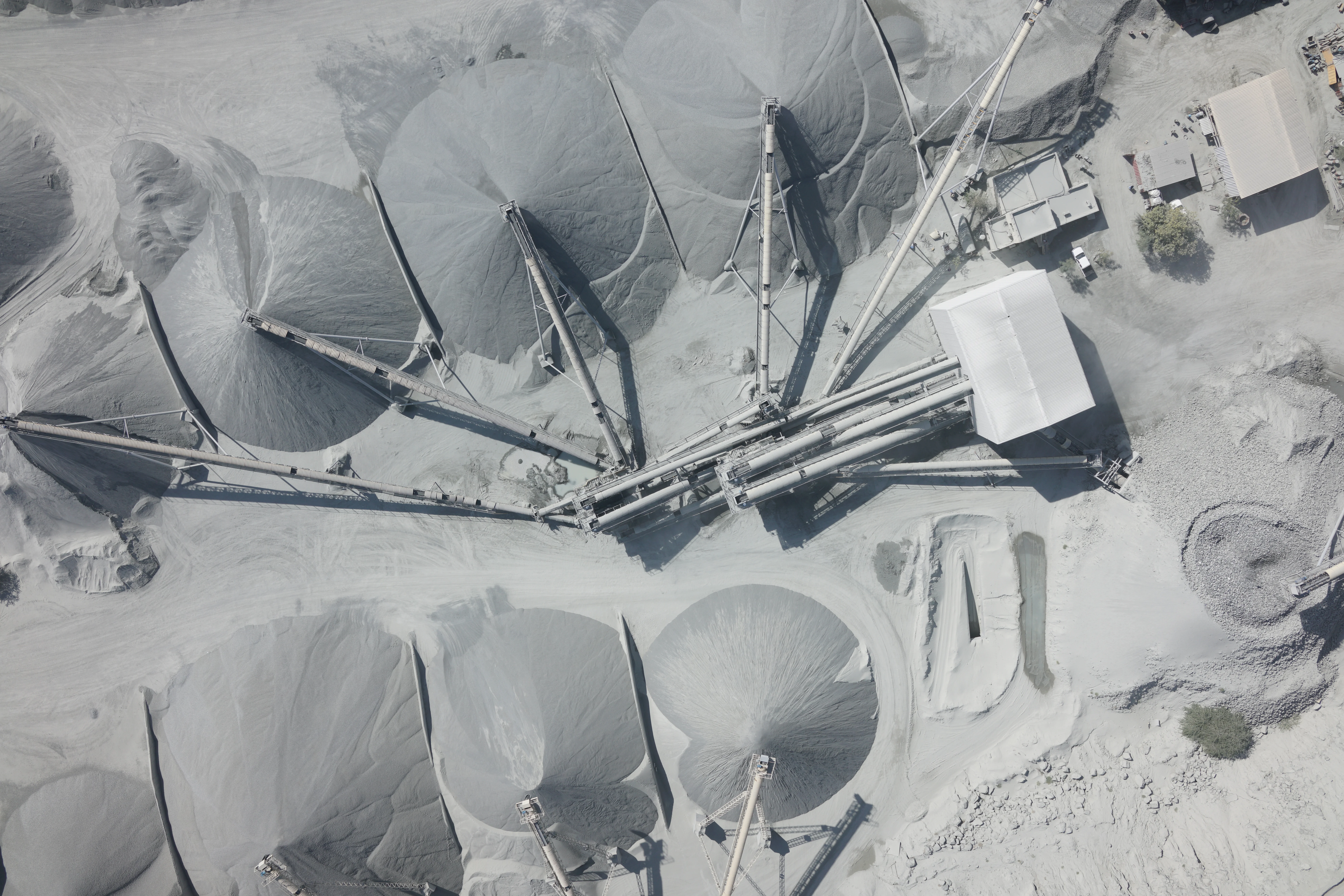
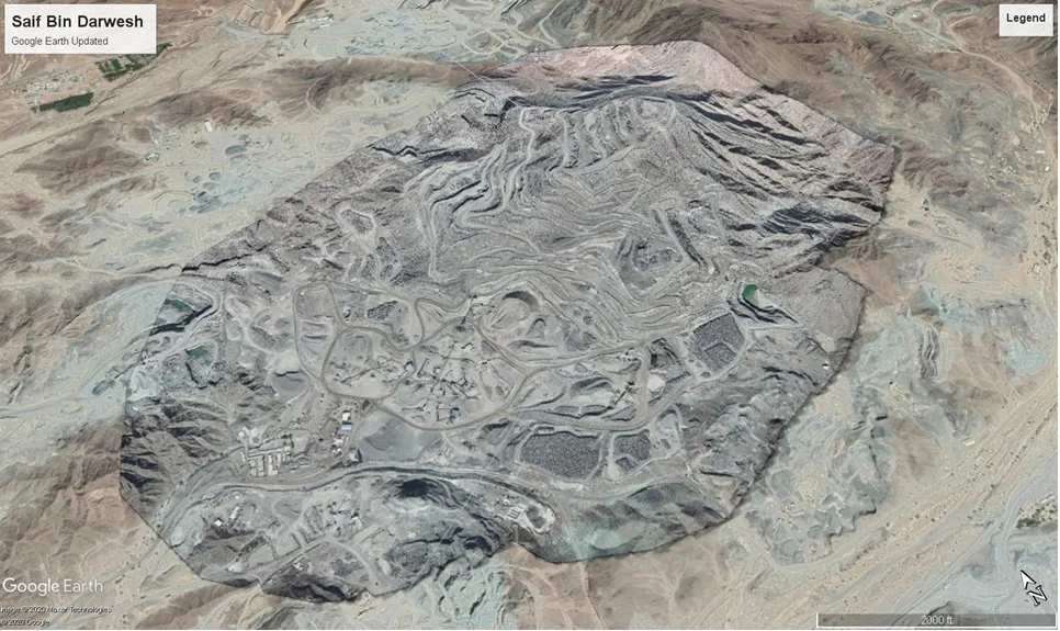
Stockpile surveys measure the volume and quantity of aggregate, sand, soil, and bulk material piles at construction sites, quarries, ports, and industrial facilities across the UAE. Using drone photogrammetry and RTK GNSS, we capture accurate 3D surface models of stockpile areas within hours.
Al Warqa Survey Engineering delivers certified stockpile volume reports used for inventory reconciliation, contractor payments, customs declarations, and management reporting across Dubai, Abu Dhabi, and the wider UAE.
Our Methodology
Delivering excellence through a proven three-stage workflow
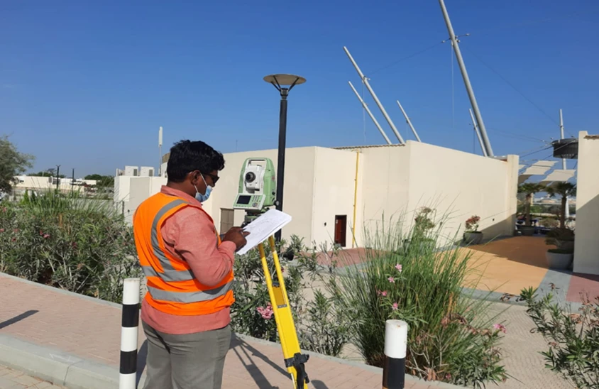
GCP Setup & Control Survey
Establish ground control points with GNSS to georeference drone imagery to project accuracy standards.
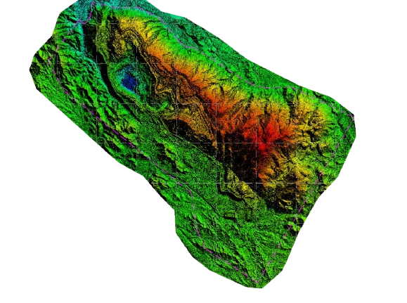
Drone Photogrammetric Survey
UAV data capture over stockpile areas with systematic overlap for complete 3D surface reconstruction.
Volume Computation & Reporting
Process point cloud, compute volumes using base plane or trimmed surface methods, and deliver certified report.
Applications
Industry sectors and use cases we serve
Quarry & Aggregate Inventory
Measures stone, gravel, and sand stockpile volumes for production tracking
Construction Site Earthworks
Quantifies cut and fill volumes and material movement on site
Port & Terminal Bulk Materials
Surveys coal, ore, and bulk commodity stockpiles at port facilities
Industrial Yard Inventory
Tracks material volumes at manufacturing and industrial sites
Deliverables
What you receive at the end of every project
- Certified stockpile volume report
- 3D surface model (point cloud / mesh)
- Orthophoto of survey area
- Volume comparison to previous survey (if required)
- Cut and fill analysis
- AutoCAD drawings of surveyed stockpile extent

Technology Stack
Industry-leading equipment and software
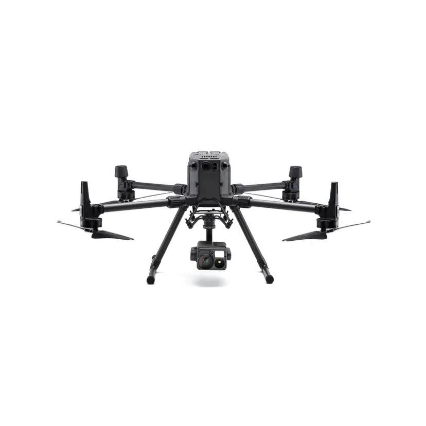
DJI Phantom 4 RTK
Advanced surveying technology for precision data capture and analysis.
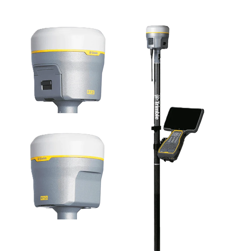
Trimble R10 GNSS
Advanced surveying technology for precision data capture and analysis.

Pix4Dmapper
Advanced surveying technology for precision data capture and analysis.
AutoCAD Civil 3D
Advanced surveying technology for precision data capture and analysis.

Agisoft Metashape
Advanced surveying technology for precision data capture and analysis.
Frequently Asked Questions
We achieve ±1-3% volume accuracy on typical aggregate stockpiles using drone photogrammetry with ground control points.
A single drone can cover 50–200 hectares of stockpile area per day depending on terrain and site conditions.
Yes, we perform change detection and volume comparison between survey epochs to track material movement over time.
Yes, our reports are signed by licensed surveyors and suitable for inventory, customs, insurance, and legal documentation.
Have more questions?
Our team of experts is ready to assist you with your specific project requirements across the GCC.
Related Services
Explore our other professional surveying solutions
Aerial Drone Mapping
High-resolution aerial data acquisition for terrain modeling, volumetric analysis, and site documentation.
Land, Engineering & Cadastral Surveying
Precision boundary, control, and engineering surveys supporting development, construction, and regulatory approvals.
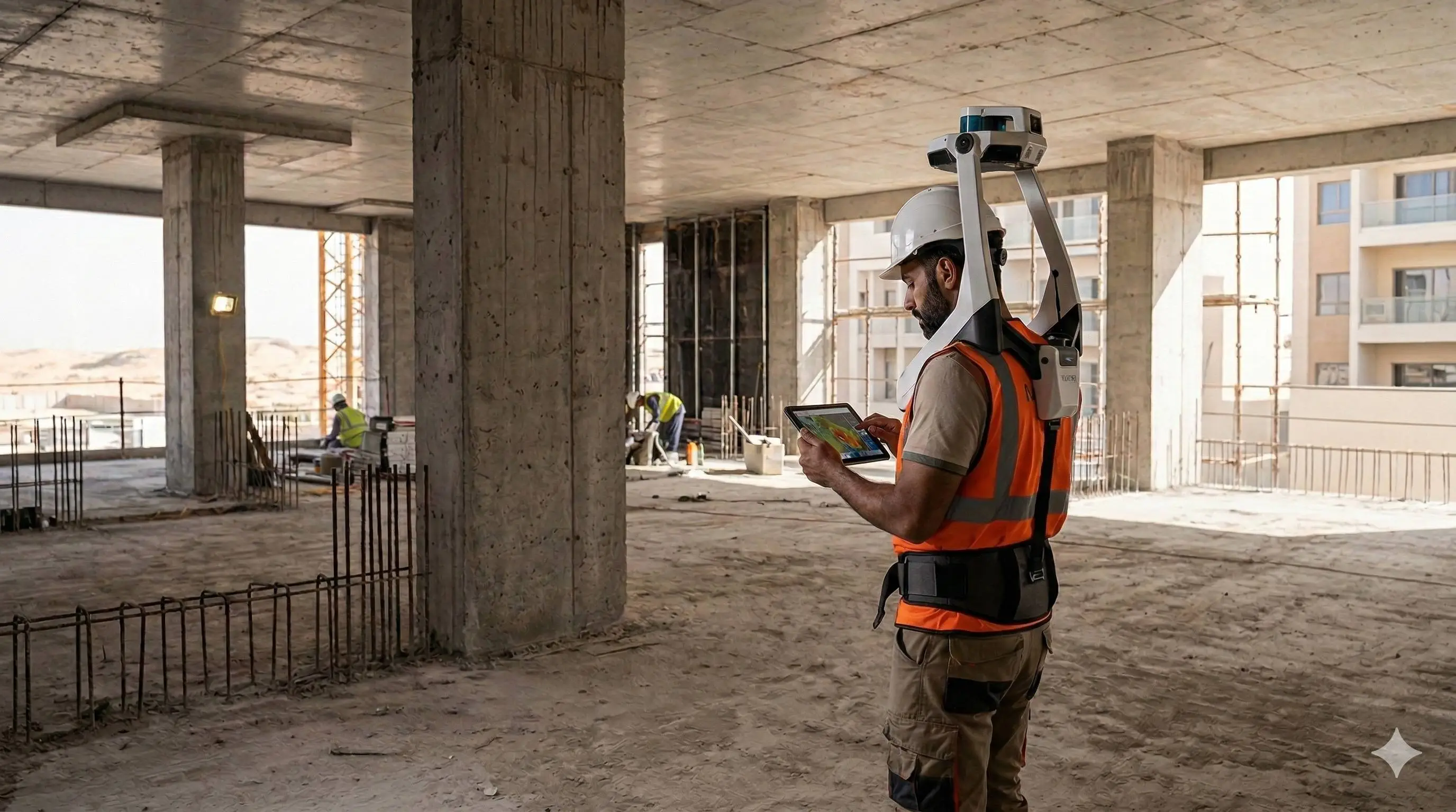
As-Built Surveys (3D Laser Scanning-Based)
High-accuracy 3D laser scanning for documentation and verification of existing building structures, including slab levels, core walls, and structural geometry.
Contact us directly
Reach our team instantly via WhatsApp, phone, or email.
Also available in Riyadh