Construction Progress Monitoring Dubai
Aerial and on-ground construction progress monitoring services in Dubai using drone surveys, 3D models, and volumetric analysis to track site development over time.
Track Construction Progress with Precision Survey Data
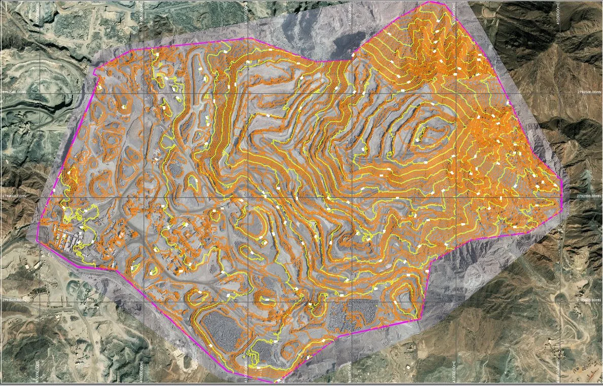
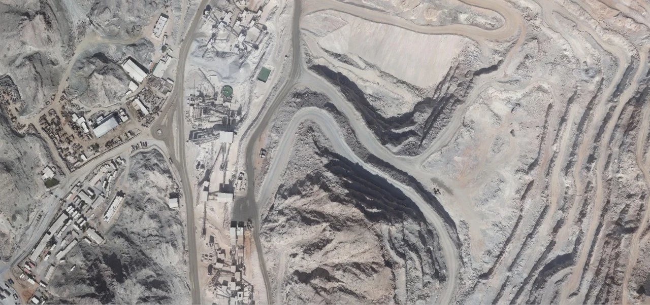
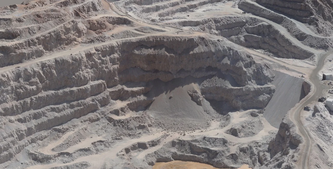
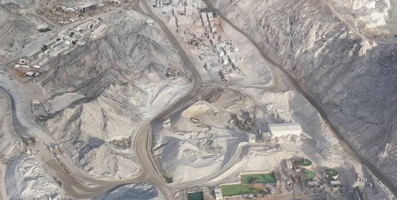
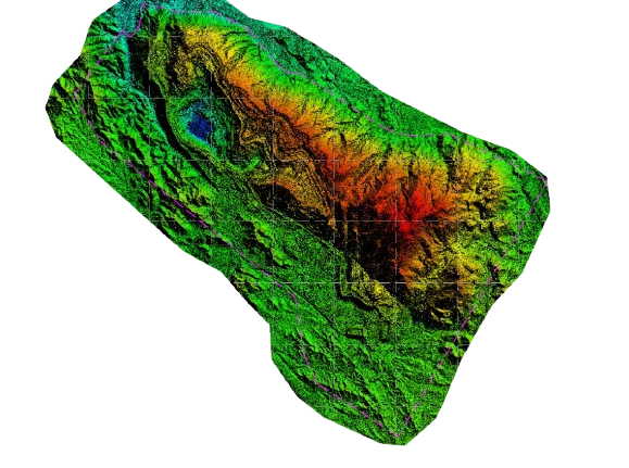
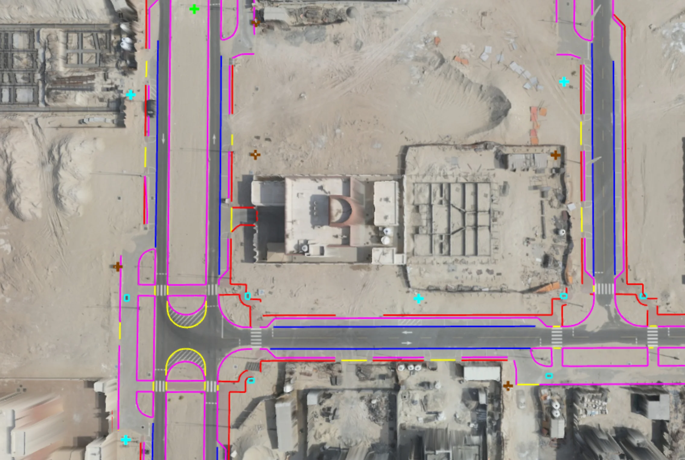
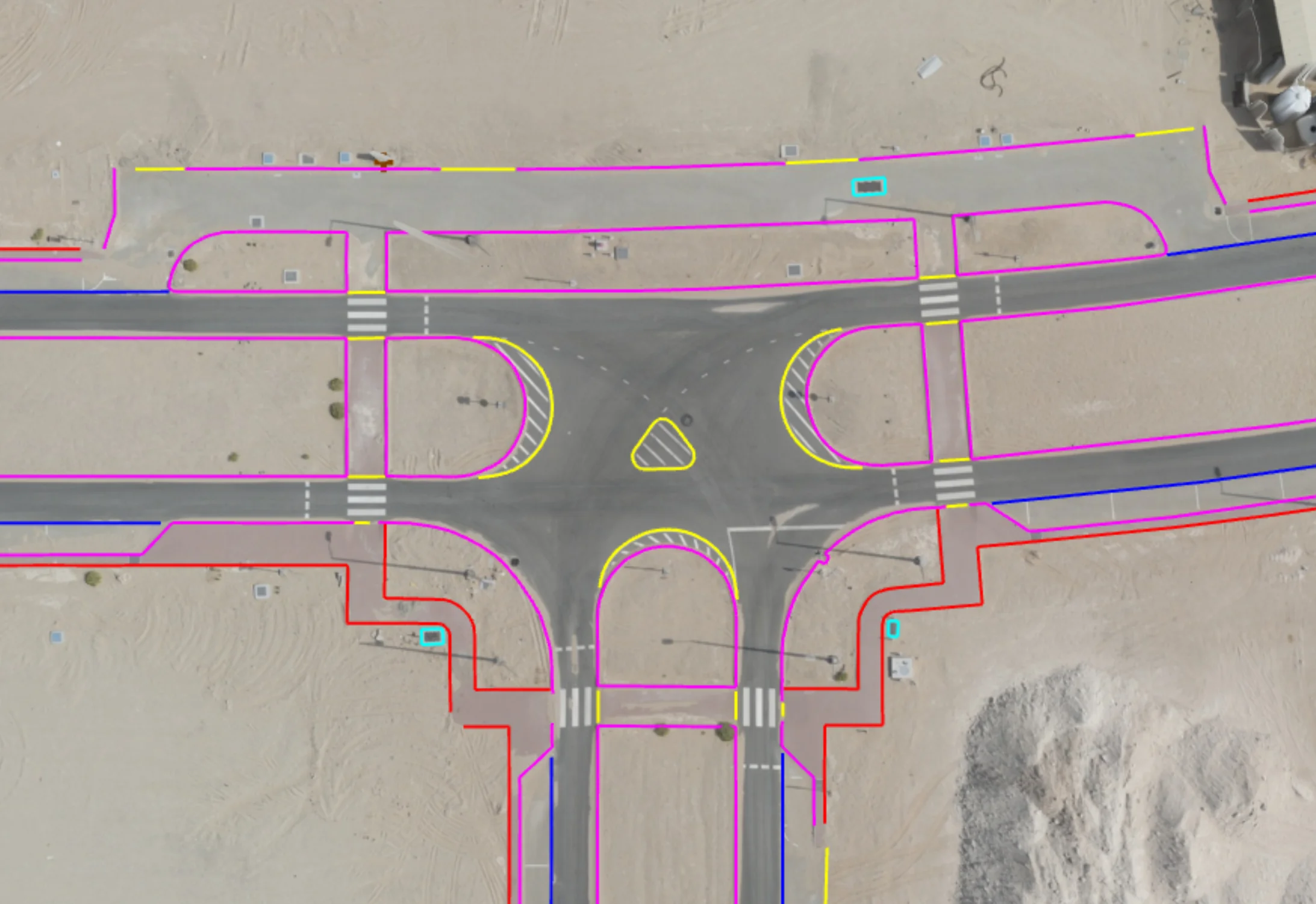
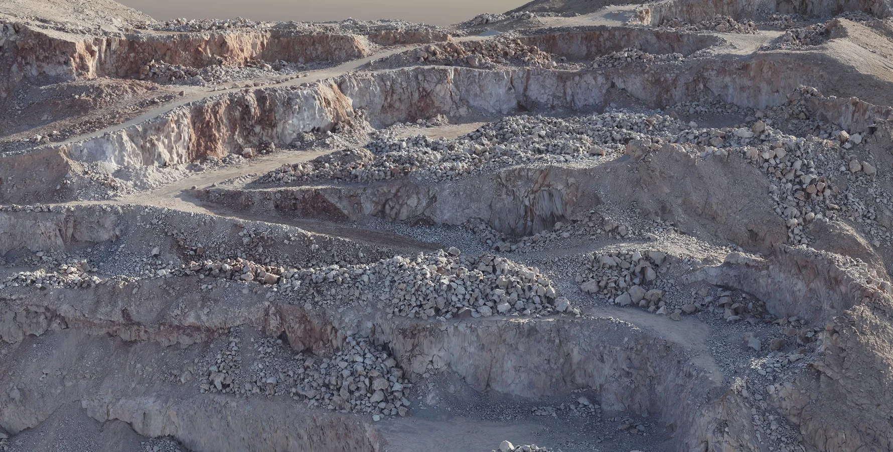
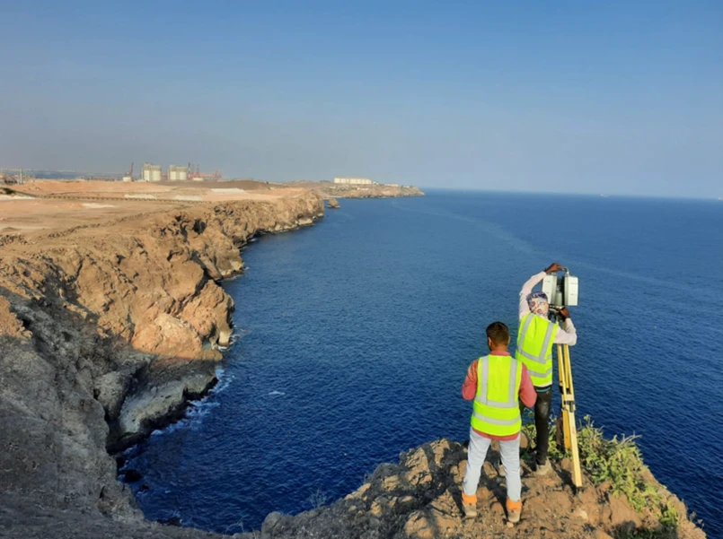
Construction progress monitoring uses repeat aerial drone surveys and ground-based measurements to track site development at scheduled intervals. Each survey cycle produces orthomosaics, surface models, volume calculations, and comparison reports that quantify what has been built, moved, or changed.
Al Warqa Survey Engineering delivers progress monitoring programmes for earthworks, infrastructure, and building projects across Dubai and the UAE, providing clients with verified spatial data for reporting, payments, and project management.
Our Methodology
Delivering excellence through a proven three-stage workflow
Baseline Survey & Programme Setup
Initial survey establishes the reference surface and coordinate framework for all subsequent monitoring cycles.
Periodic Drone Surveys
Scheduled UAV flights at agreed intervals capturing high-resolution imagery and point clouds of the entire site.
Volume & Change Analysis
Surface comparison between cycles to quantify earthwork volumes, progress percentages, and deviations from design.
Applications
Industry sectors and use cases we serve
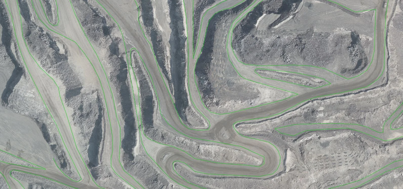
Earthworks & Cut/Fill Tracking
Measures volumes moved against design to track progress and payment
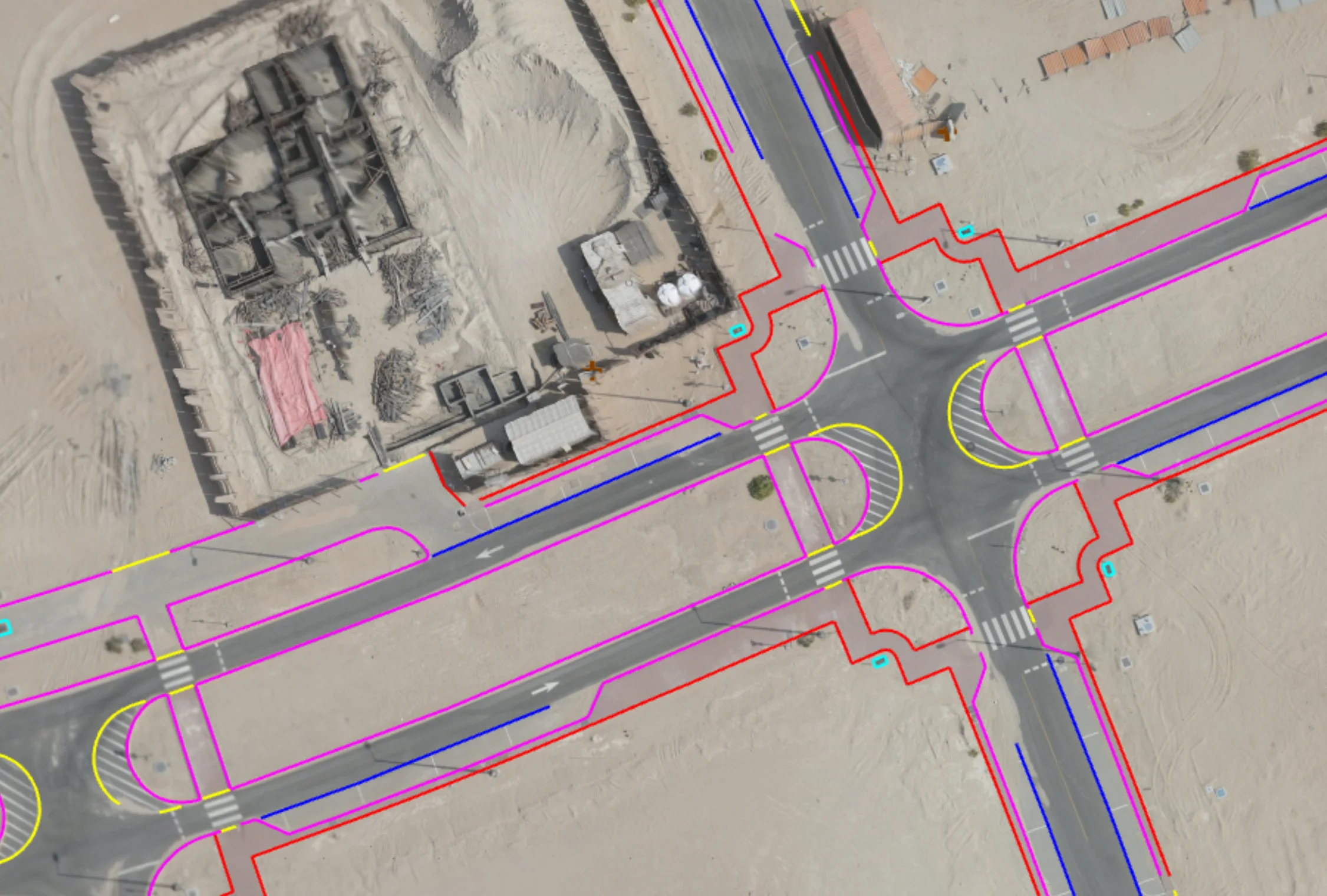
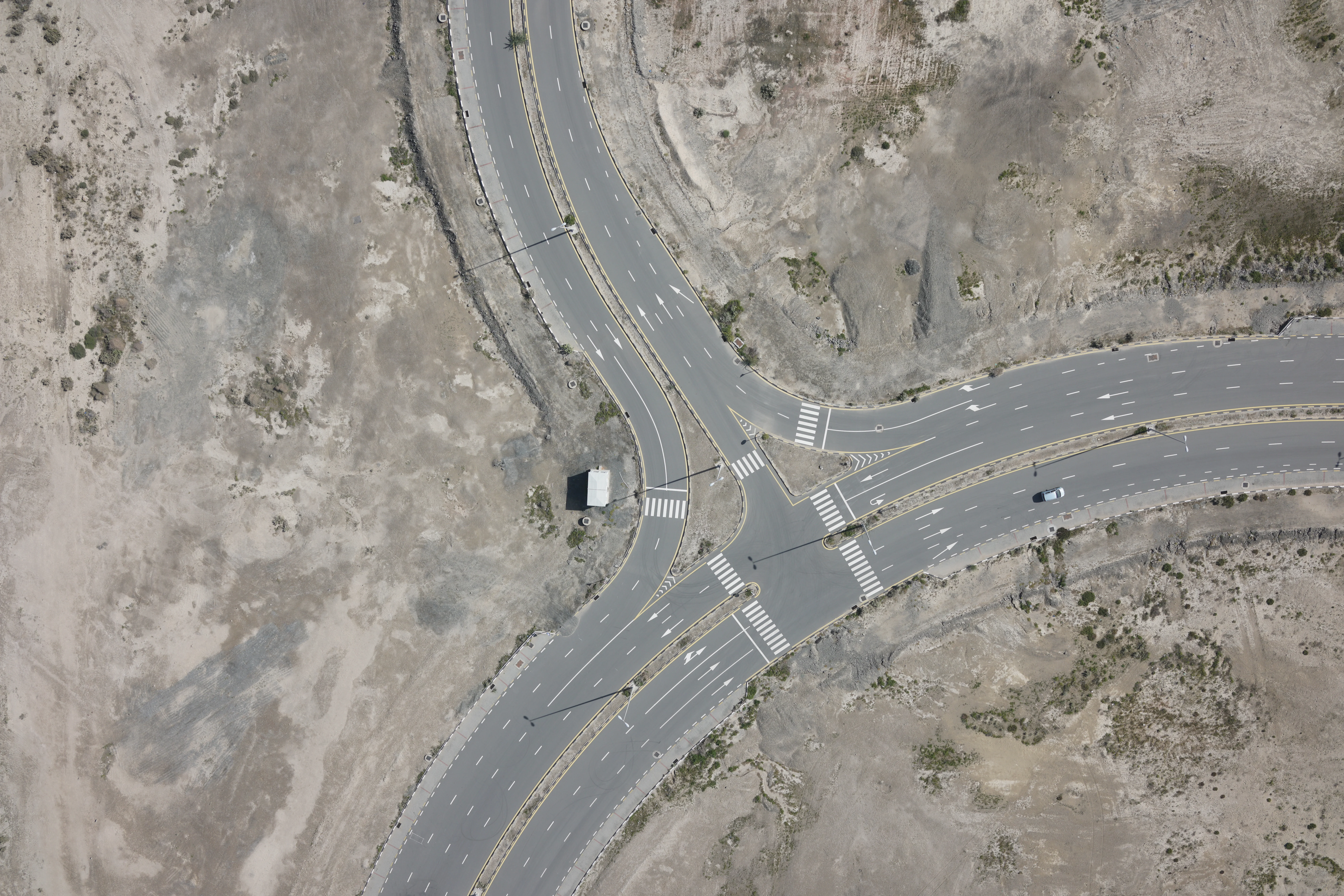
Infrastructure Construction Monitoring
Documents road, bridge, and utility installation progress
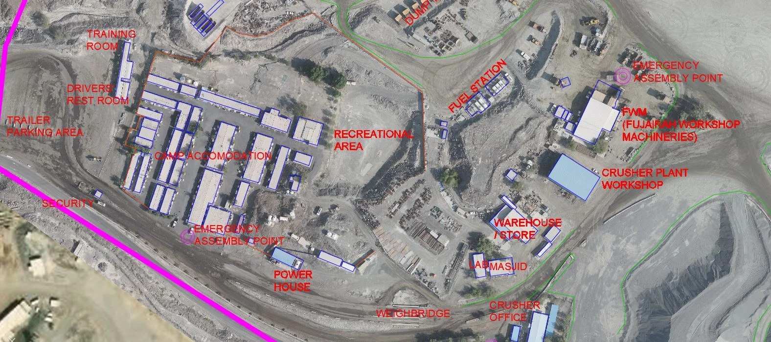
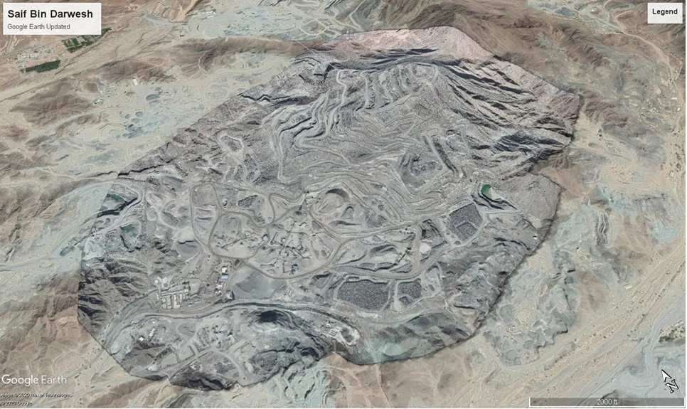
Large Development Site Tracking
Provides periodic top-down views of master development progress
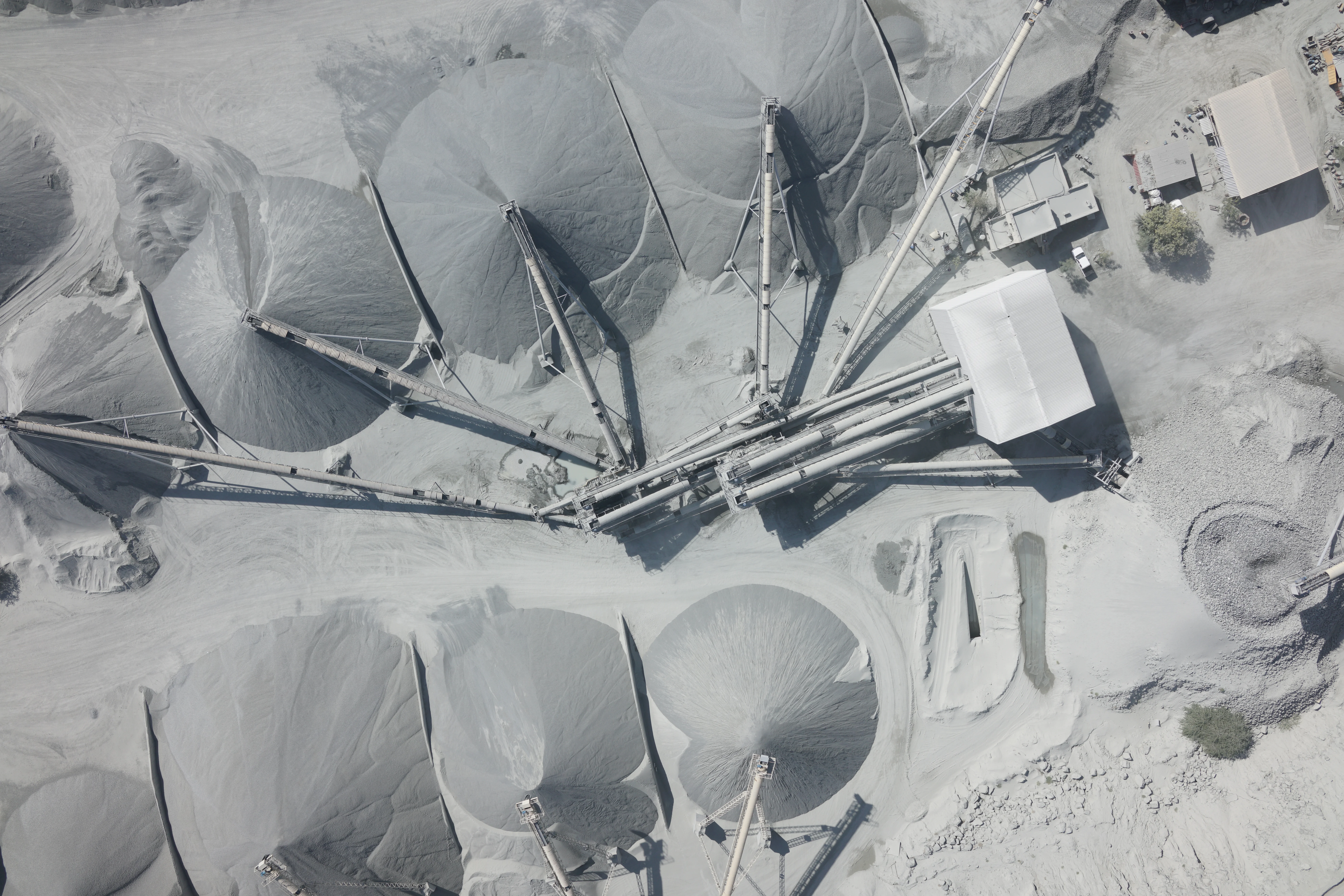
Stockpile Volume Management
Regular volumetric measurement of material stockpiles
Contractor Payment Verification
Independent measurement for interim payment certifications
Deliverables
What you receive at the end of every project
- Geo-referenced orthomosaic imagery per cycleGeoTIFF
- Digital Surface Models (DSM)
- Volume calculation reports
- Before/after comparison surfaces
- Progress contour maps
- Written progress monitoring report

Technology Stack
Industry-leading equipment and software
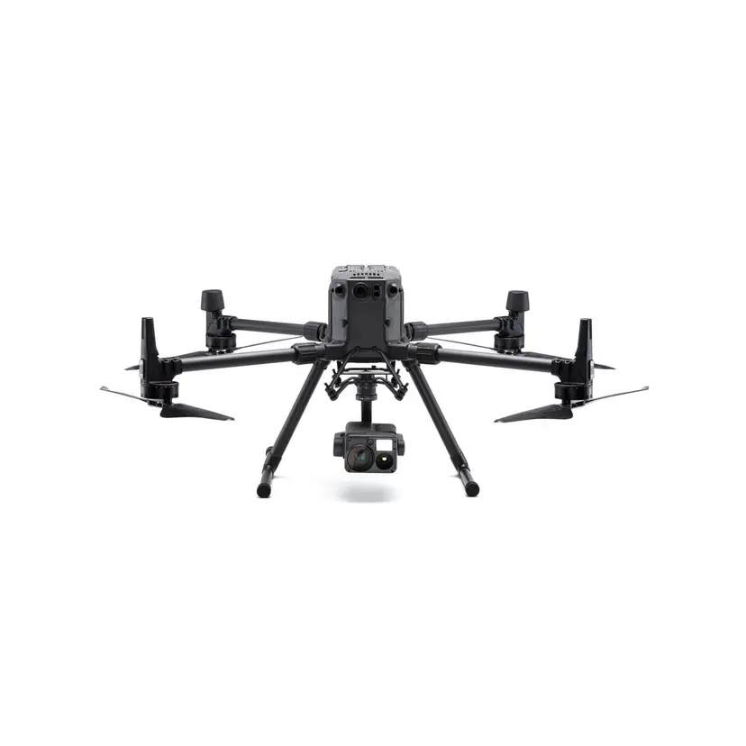
DJI Matrice 300 RTK
Advanced surveying technology for precision data capture and analysis.
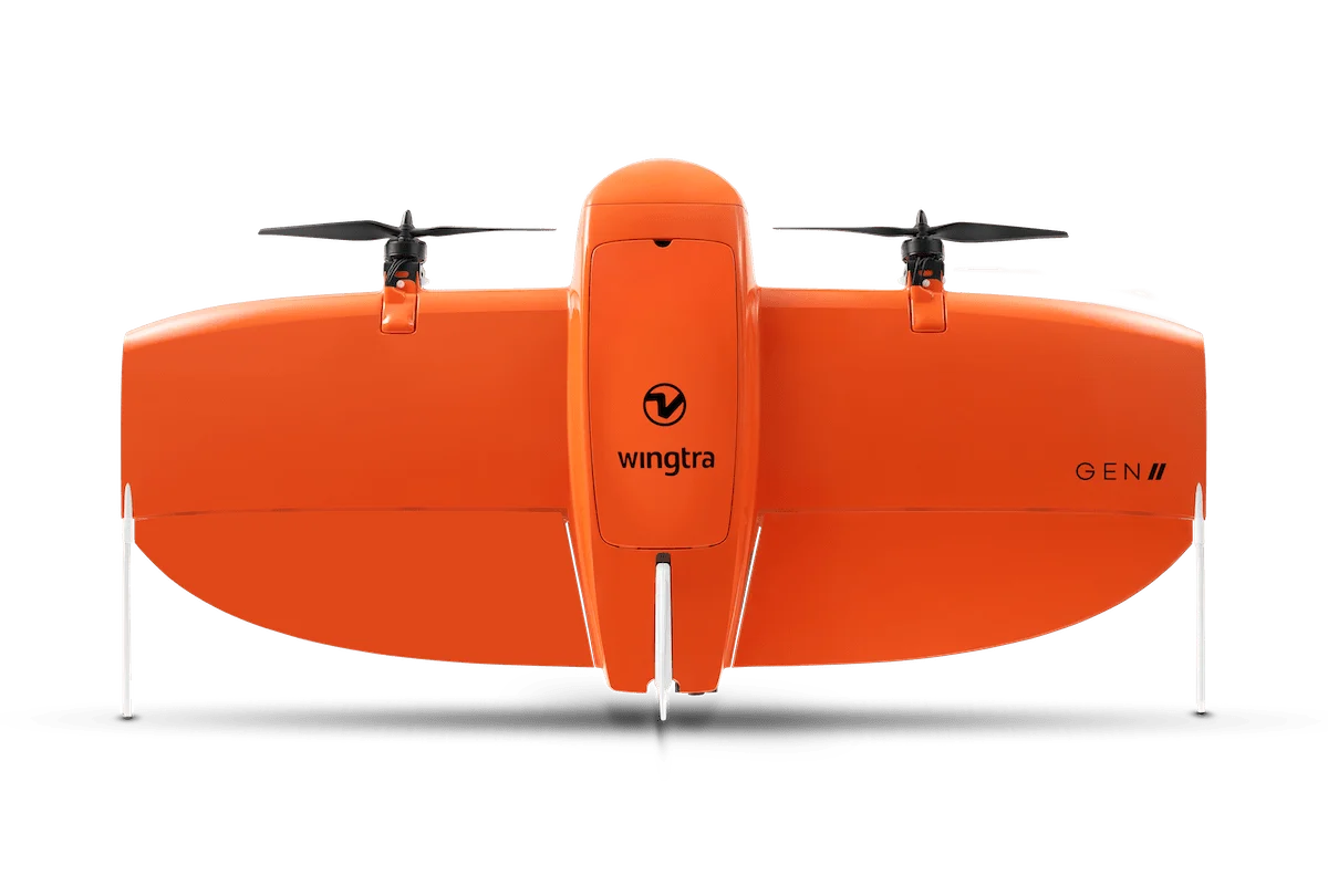
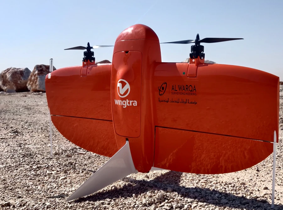
WingtraOne Drone
Advanced surveying technology for precision data capture and analysis.

Pix4Dmapper
Advanced surveying technology for precision data capture and analysis.

Agisoft Metashape
Advanced surveying technology for precision data capture and analysis.

Global Mapper
Advanced surveying technology for precision data capture and analysis.
Frequently Asked Questions
Most construction projects benefit from monthly surveys. For fast-moving earthworks, fortnightly or even weekly surveys may be required to capture payment-certified volumes accurately.
With RTK drone equipment and ground control points, volume accuracy is typically within 1–2% of actual volumes, suitable for payment certification.
Yes. We can compare actual survey surfaces against BIM or design TIN models to show progress against plan and identify deviations.
Yes. All survey datasets are archived and provided to clients. We can also provide time-lapse visualisations showing site evolution.
Have more questions?
Our team of experts is ready to assist you with your specific project requirements across the GCC.
Related Services
Explore our other professional surveying solutions
Aerial Drone Mapping
High-resolution aerial data acquisition for terrain modeling, volumetric analysis, and site documentation.
Topographic & Terrain Mapping
High-accuracy terrain and elevation mapping for infrastructure, development, and engineering projects.
Drone Survey Services
GCAA-licensed drone surveying services for land, construction, infrastructure, and industrial projects across the UAE.
Contact us directly
Reach our team instantly via WhatsApp, phone, or email.
Also available in Riyadh