Drone Survey Services
GCAA-licensed drone surveying services for land, construction, infrastructure, and industrial projects across the UAE.
Professional UAV Surveying for UAE Projects
Drone surveying replaces slow, labour-intensive ground survey methods with rapid UAV-based data acquisition — delivering high-accuracy spatial data across large sites, hard-to-reach locations, and live infrastructure without putting teams in hazardous positions. Our GCAA-licensed drone operators combine industry-grade UAV platforms with surveyor-led data capture workflows.
Whether you need a reconnaissance flight, a full site topographic survey, or a recurring progress-monitoring engagement, our drone survey service is structured around surveying-grade deliverables — not aerial photography repurposed as survey data.
Our Methodology
Delivering excellence through a proven three-stage workflow
Flight Planning & GCAA Clearance
Airspace assessment, GCAA NOTAM coordination, flight plan design, and ground control point layout to meet accuracy targets.
UAV Flight Execution
Automated drone missions with RTK positioning and overlap control to ensure full coverage and data quality.
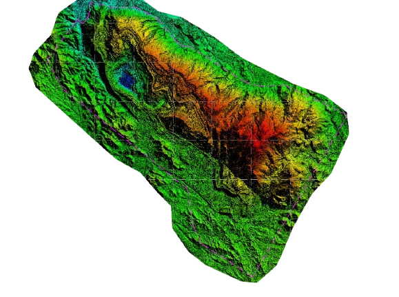
Data Processing & Deliverable Generation
Photogrammetric processing, point cloud generation, surface modelling, and output preparation to surveying standards.
Applications
Industry sectors and use cases we serve
Construction Site Surveying
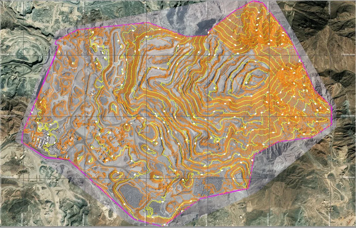
Pre-construction topographic capture, volume tracking, and as-built verification
Land & Boundary Reconnaissance
Rapid overview surveys for land acquisition, masterplanning, and feasibility
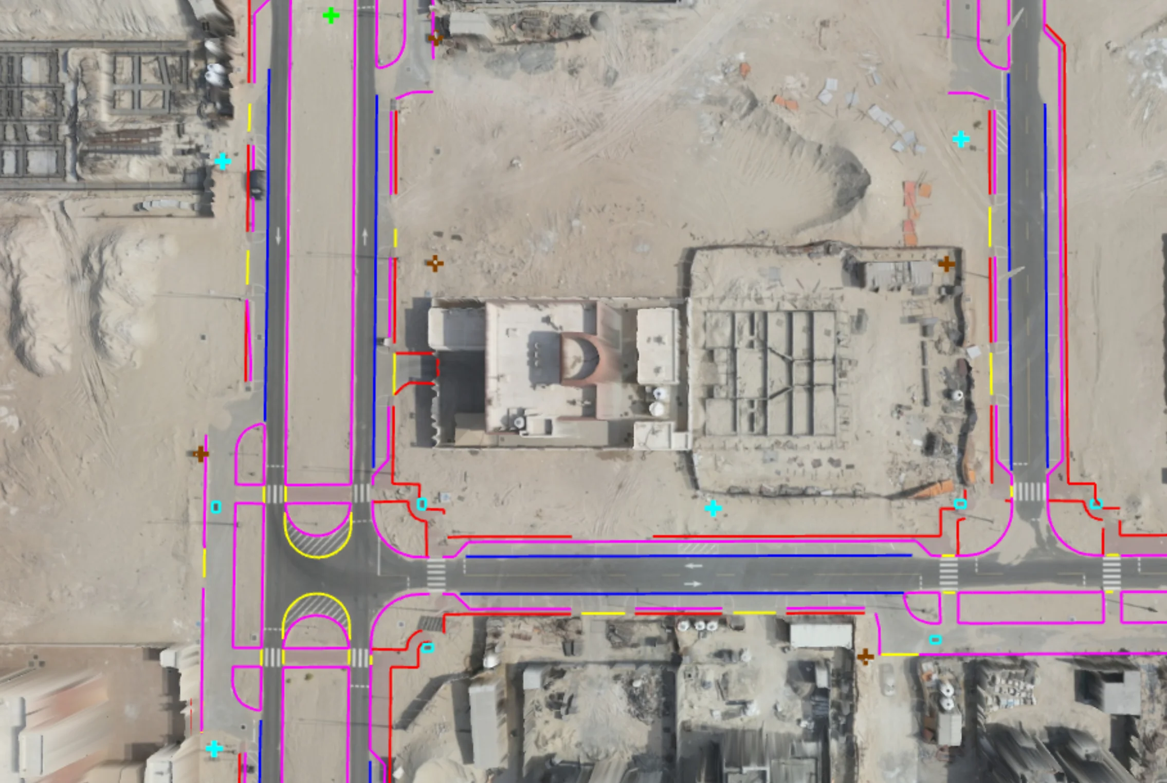
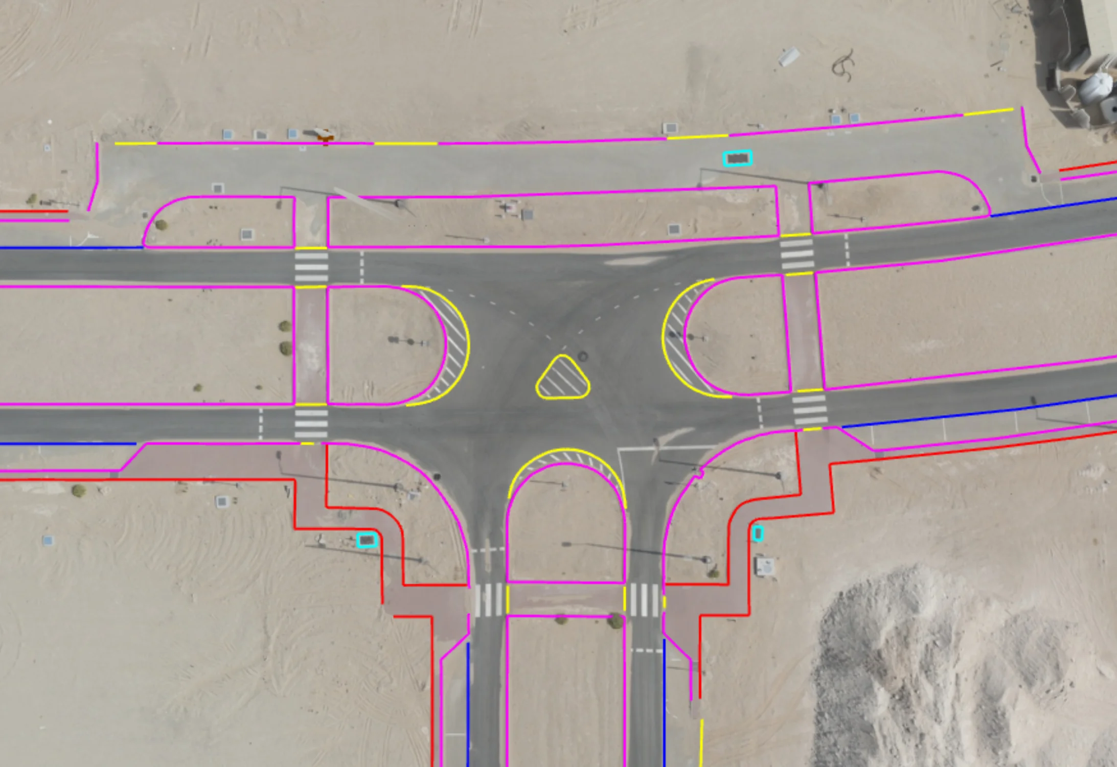
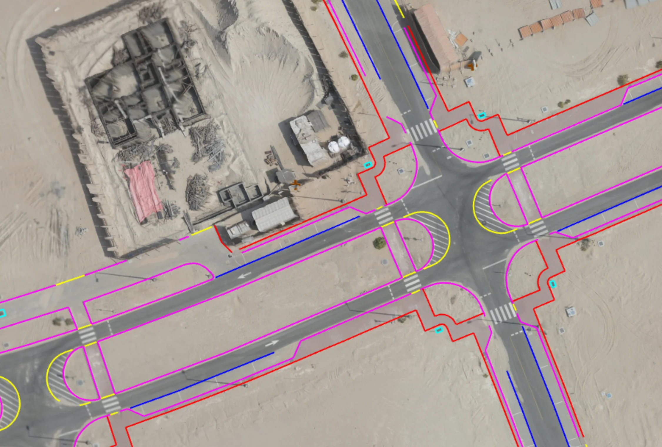
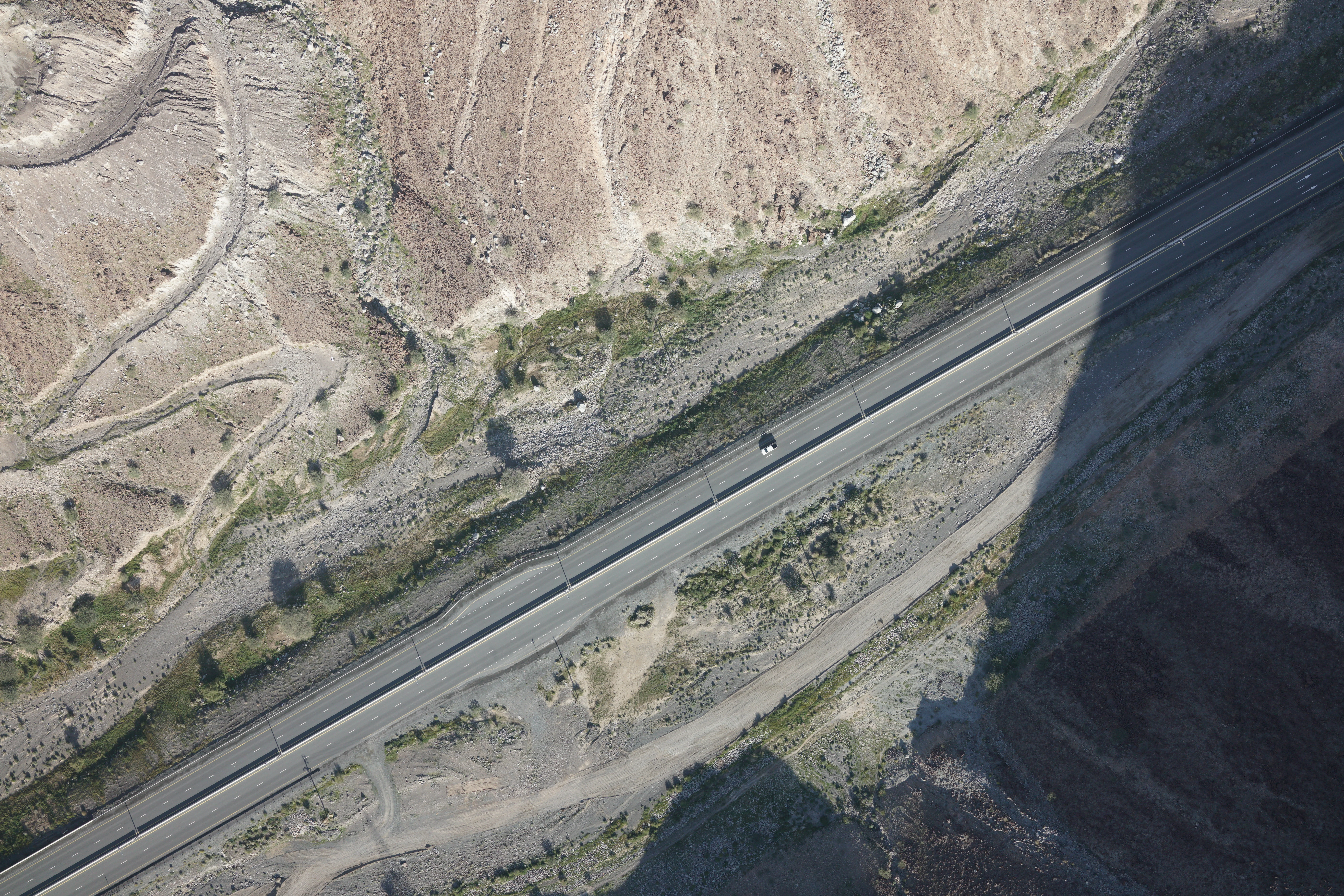
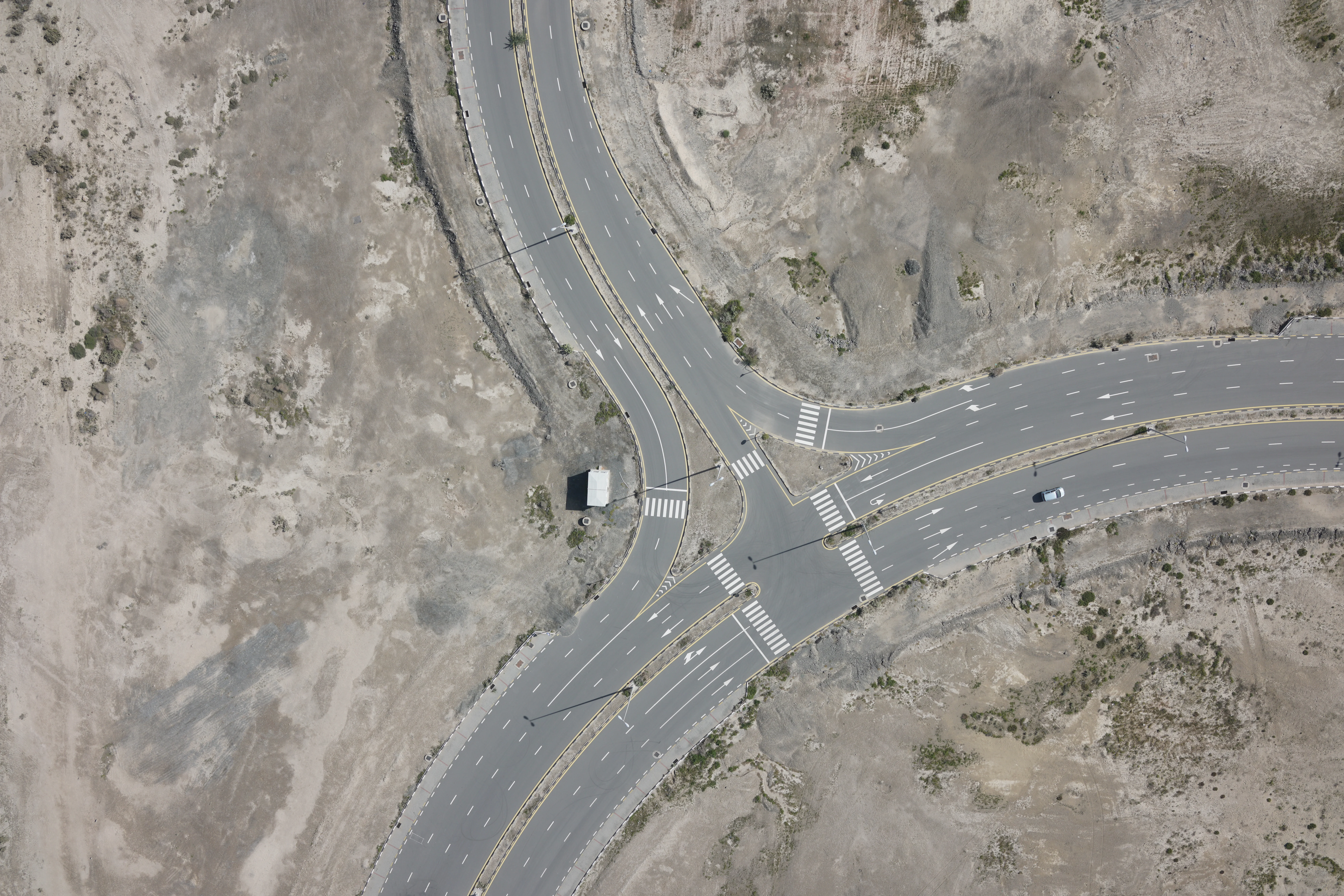
Infrastructure & Corridor Surveys
Linear surveys for roads, pipelines, and power networks
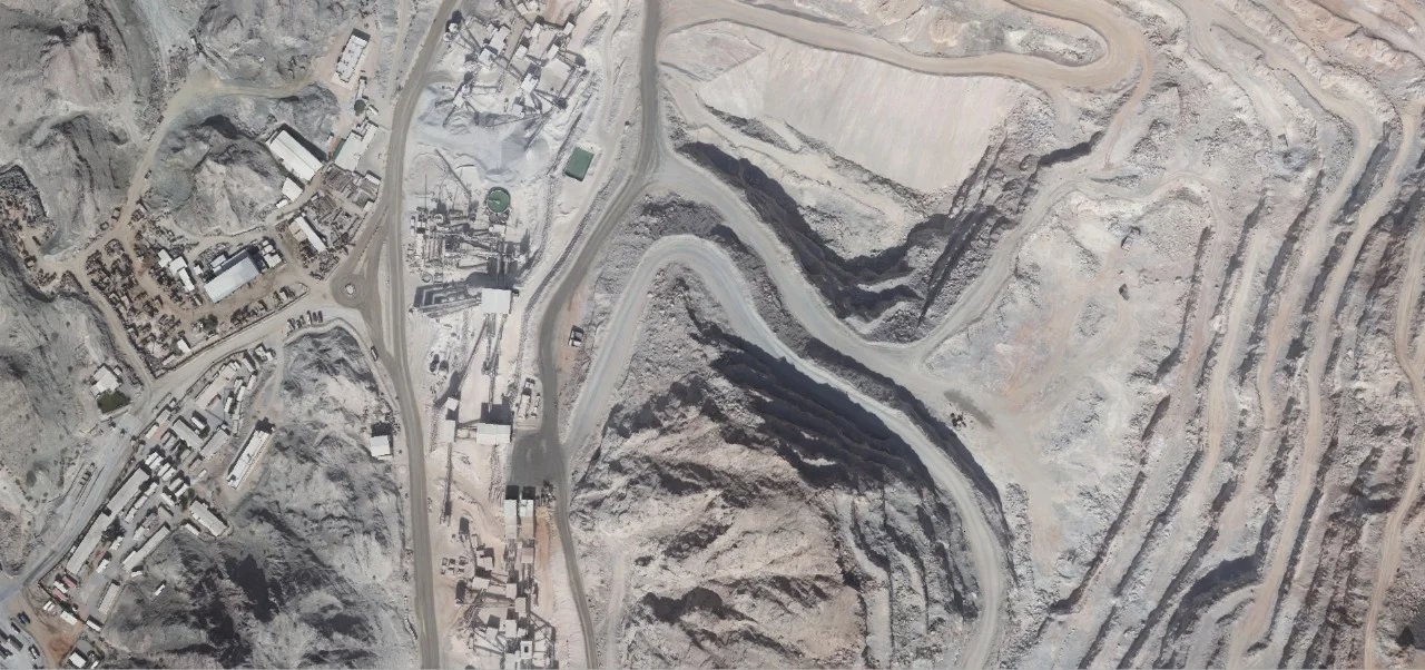
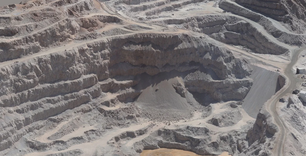
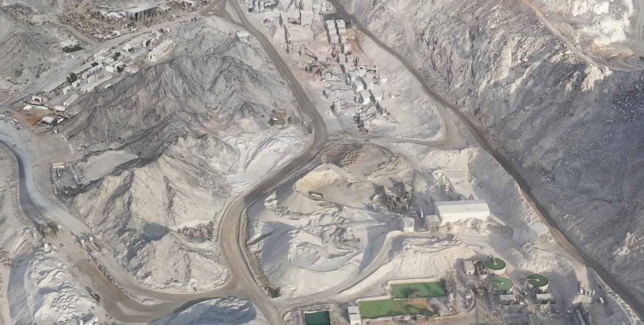
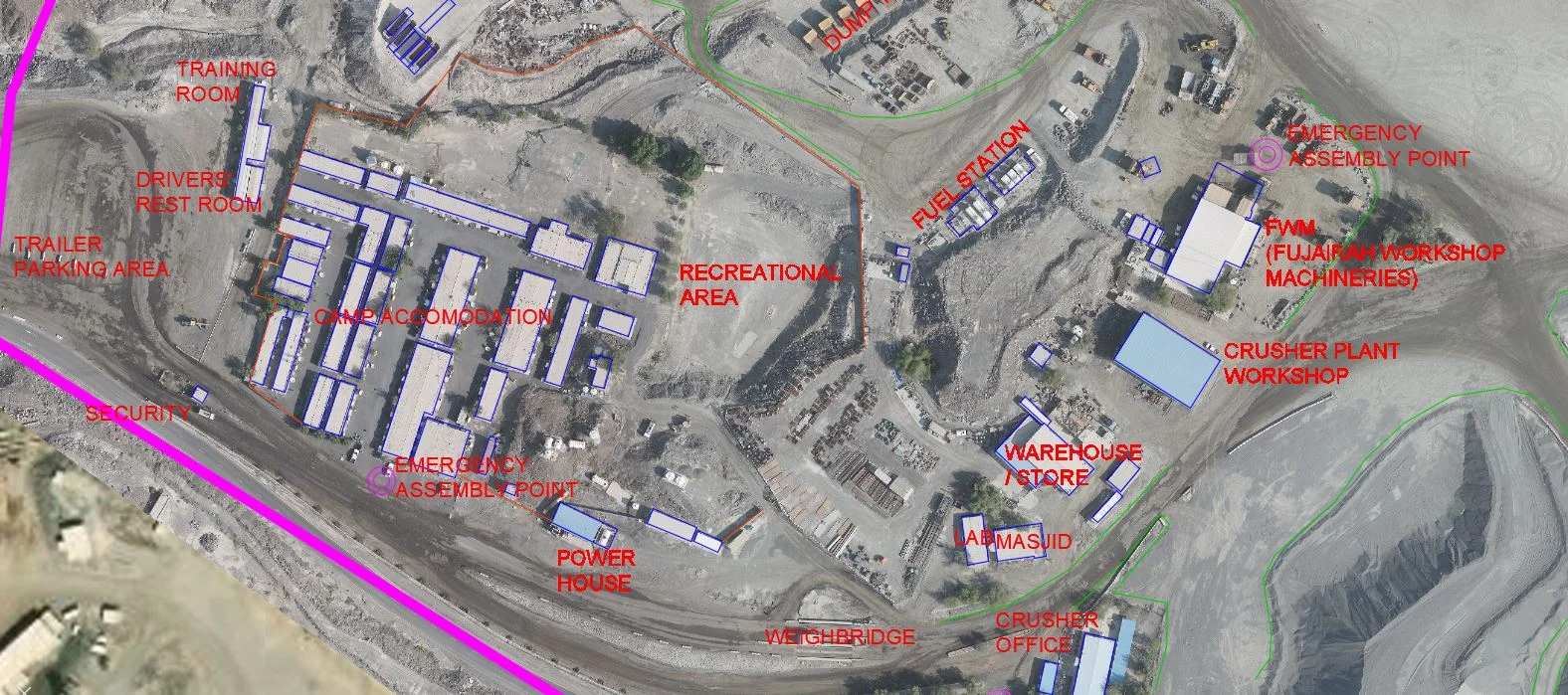
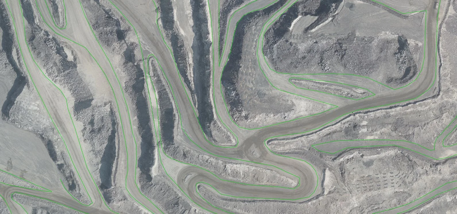
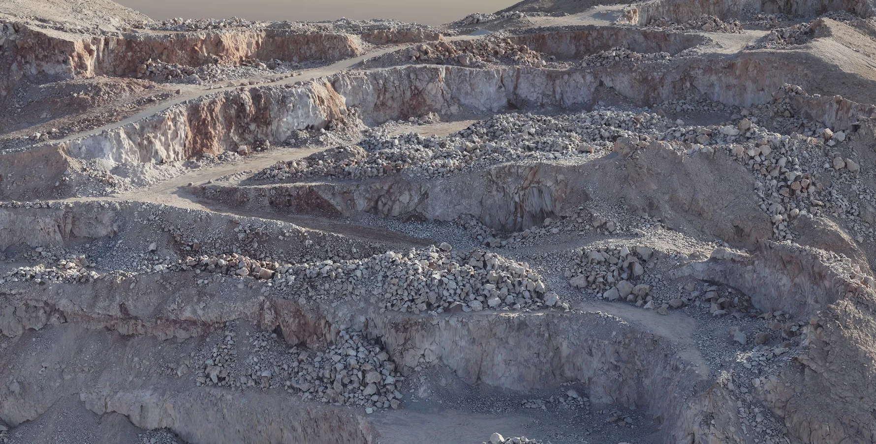
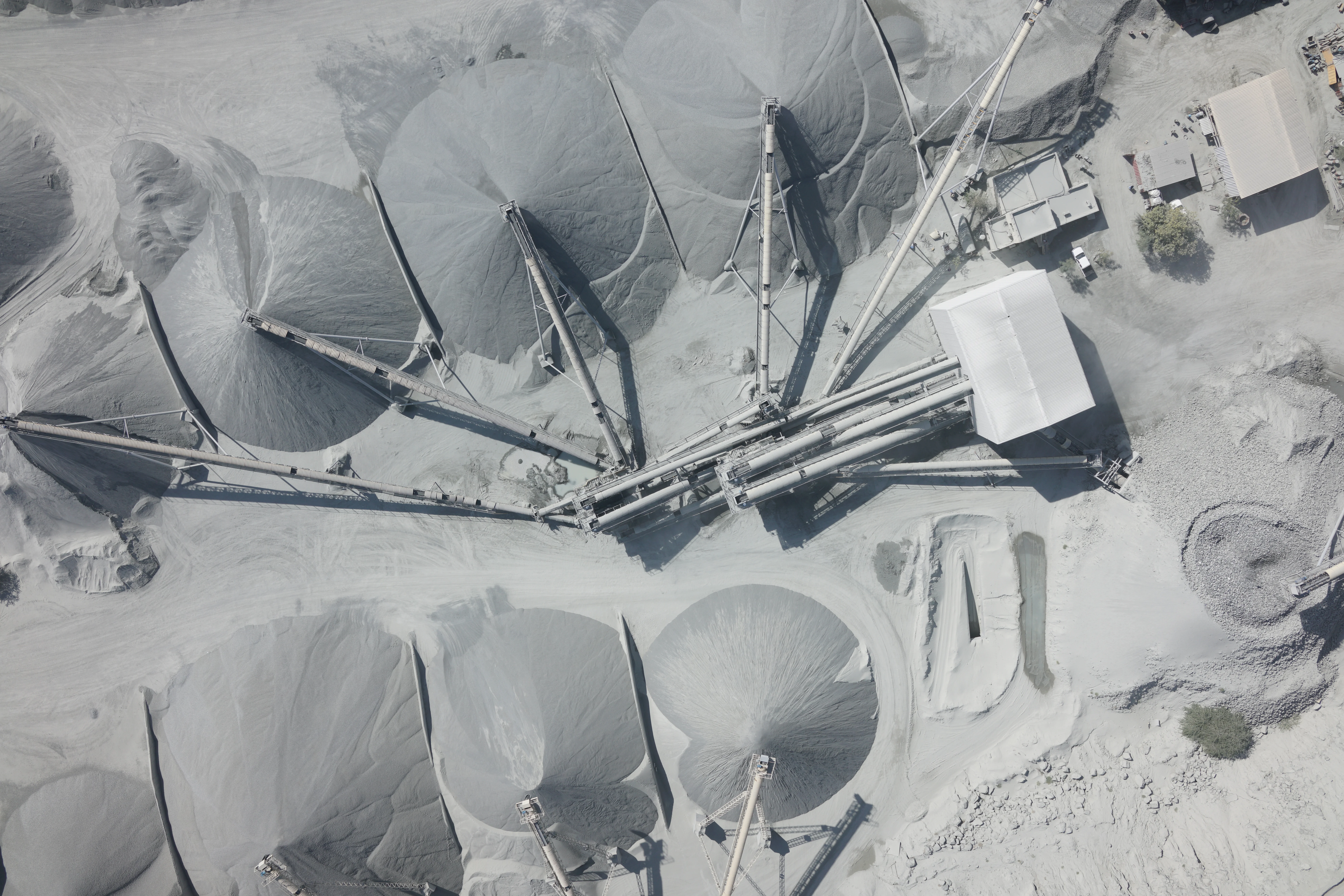
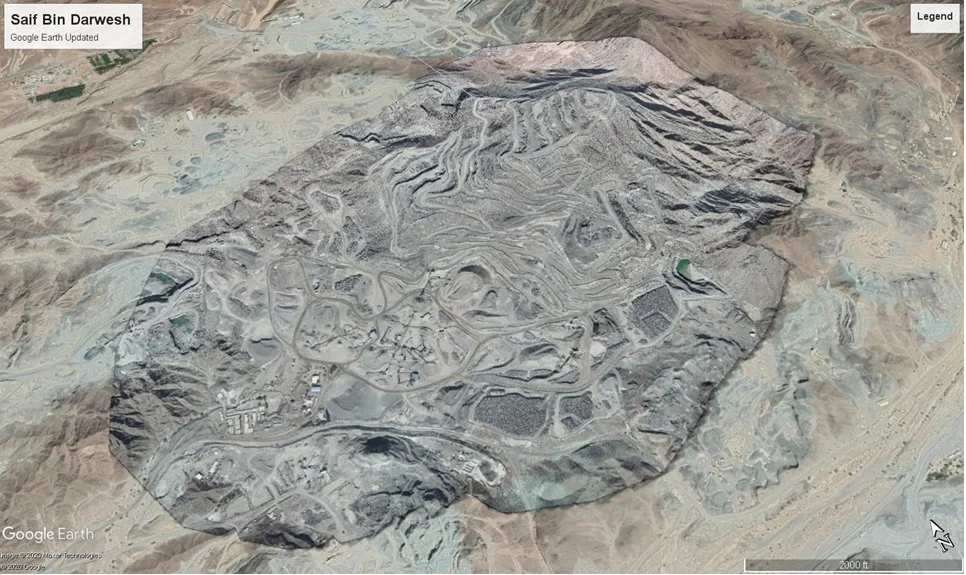
Industrial & Hard-to-Access Sites
Safe capture of quarries, stockpiles, towers, and hazardous environments
Progress Monitoring & Dispute Evidence
Time-stamped aerial data for contractual and regulatory purposes
Deliverables
What you receive at the end of every project
- Geo-referenced orthomosaic imageryGeoTIFF
- Topographic survey outputsContours, spot heights, DTM
- Dense point cloud datasetsLAS / LAZ
- 3D mesh and textured models
- Volume and stockpile measurement reports
- CAD drawings and GIS layersDWG / DXF / SHP
- Flight log and accuracy statement

Technology Stack
Industry-leading equipment and software
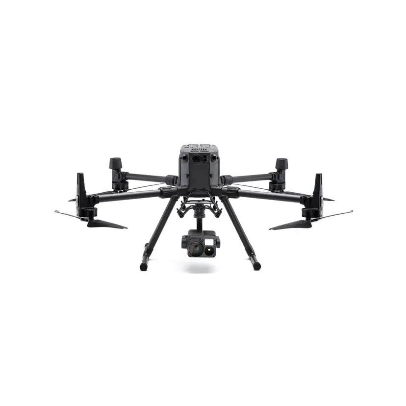
DJI Matrice 300 RTK
Advanced surveying technology for precision data capture and analysis.
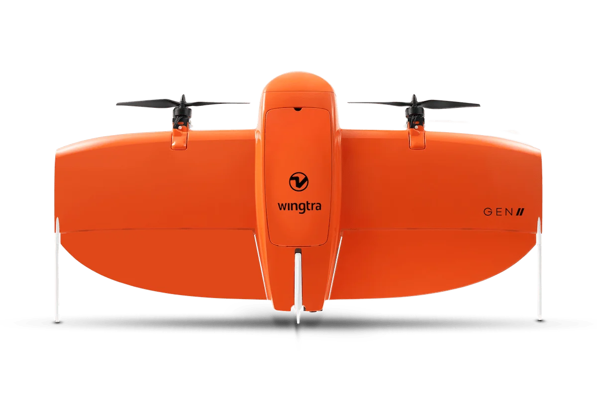
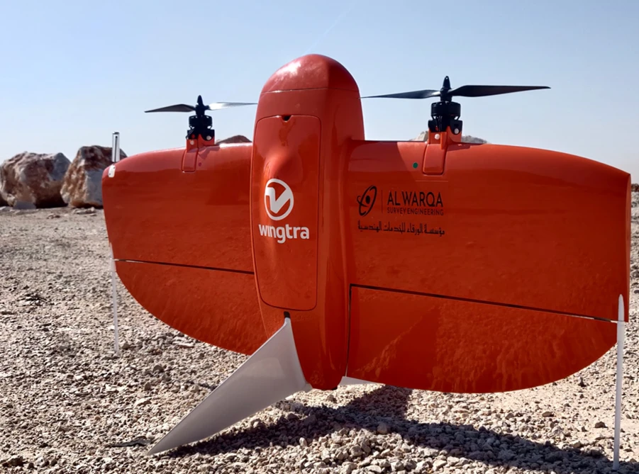
WingtraOne VTOL
Advanced surveying technology for precision data capture and analysis.
Pix4Dmapper
Advanced surveying technology for precision data capture and analysis.

Agisoft Metashape
Advanced surveying technology for precision data capture and analysis.
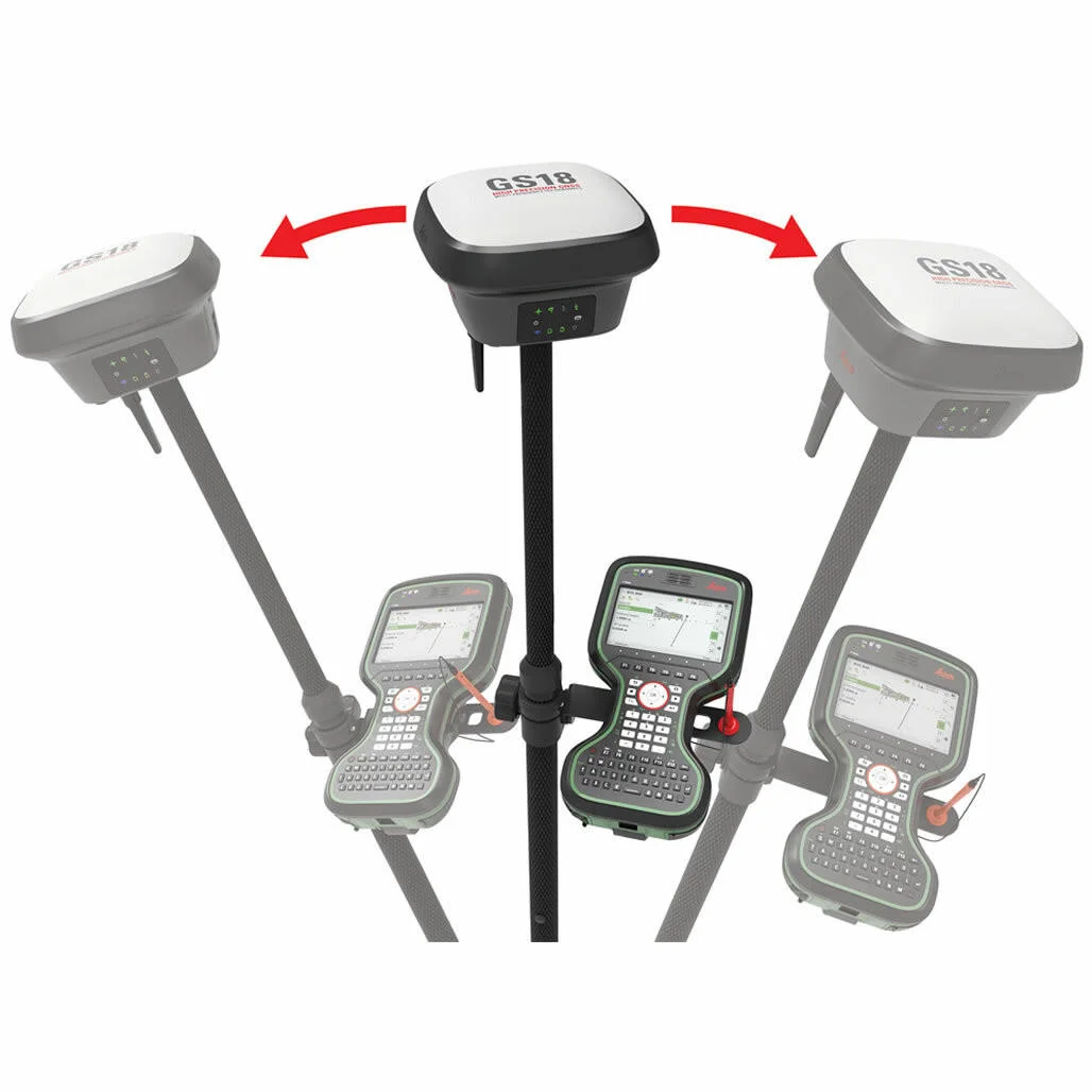
Leica GS18 RTK
Advanced surveying technology for precision data capture and analysis.
Frequently Asked Questions
Yes. We hold a valid GCAA (General Civil Aviation Authority) drone operator certificate and file NOTAMs for every flight. Our pilots carry current GCAA-issued remote pilot licences.
With RTK positioning and ground control points, we achieve 2–3cm horizontal and 3–5cm vertical accuracy — survey-grade for most engineering and construction applications.
For standard sites in Dubai with uncontrolled airspace, we mobilise within 24–48 hours. Controlled airspace projects require GCAA NOTAM filing with 3–5 days lead time.
Winds above 10 m/s, heavy rain, dust storms, and uncleared airspace. We reschedule free of charge if weather is unsuitable on the planned day.
Have more questions?
Our team of experts is ready to assist you with your specific project requirements across the GCC.
Related Services
Explore our other professional surveying solutions
Aerial Drone Mapping
High-resolution aerial data acquisition for terrain modeling, volumetric analysis, and site documentation.

Drone Inspection Services
Aerial inspection and condition assessment of structures and infrastructure using high-resolution UAV systems.
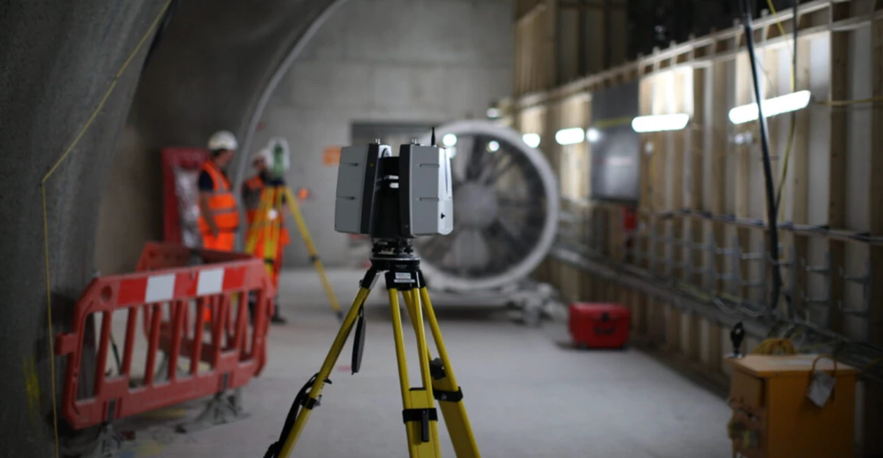
3D Laser Scanning
High-precision terrestrial laser scanning for detailed 3D capture of buildings, structures, and industrial environments.
Contact us directly
Reach our team instantly via WhatsApp, phone, or email.
Also available in Riyadh