Drone Inspection Services
Aerial inspection and condition assessment of structures and infrastructure using high-resolution UAV systems.
Safe Access to Elevated and Complex Structures
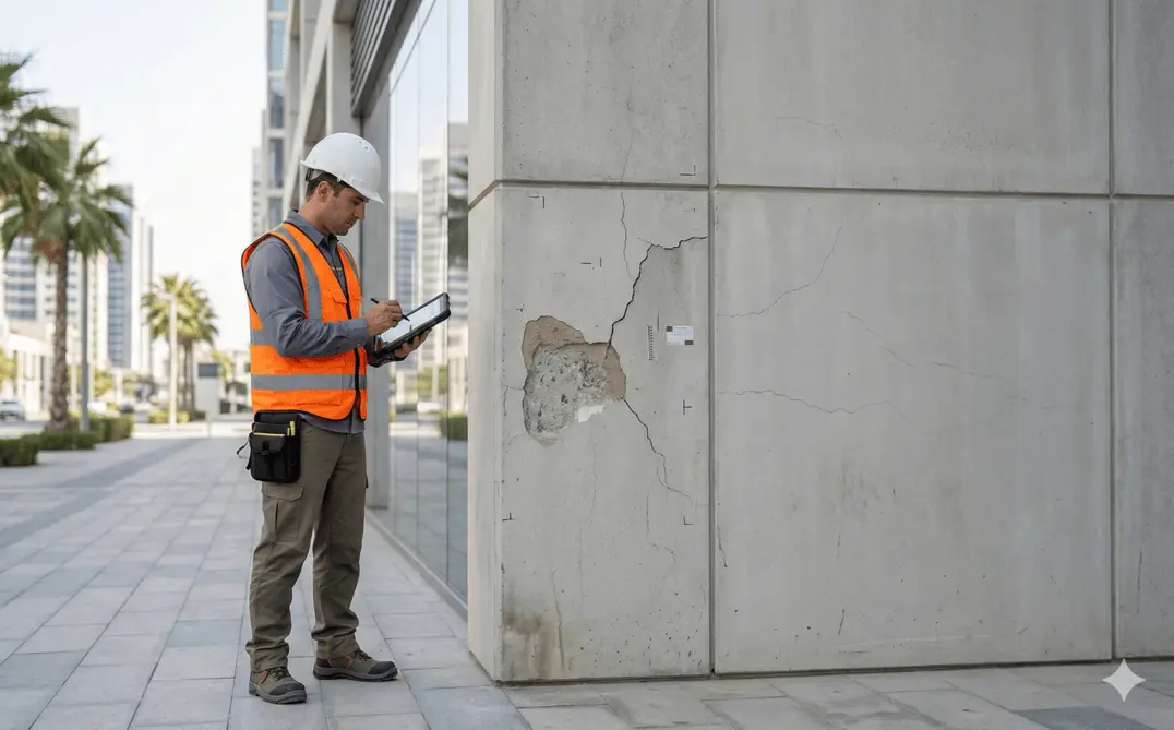
Drone inspections provide safe and efficient access to elevated, confined, or difficult-to-reach structures without scaffolding or manual access. Using stabilized high-resolution imaging systems, we capture detailed visual data to assess structural condition, defects, and maintenance requirements across Dubai, Abu Dhabi, and the wider UAE.
Traditional inspection of high-rise facades, bridges, telecom towers, and industrial plants requires scaffolding, rope access, or cherry pickers — each adding cost, time, and safety risk. A drone captures the same assets in a fraction of the time, keeping personnel on the ground and structures in service throughout the inspection.
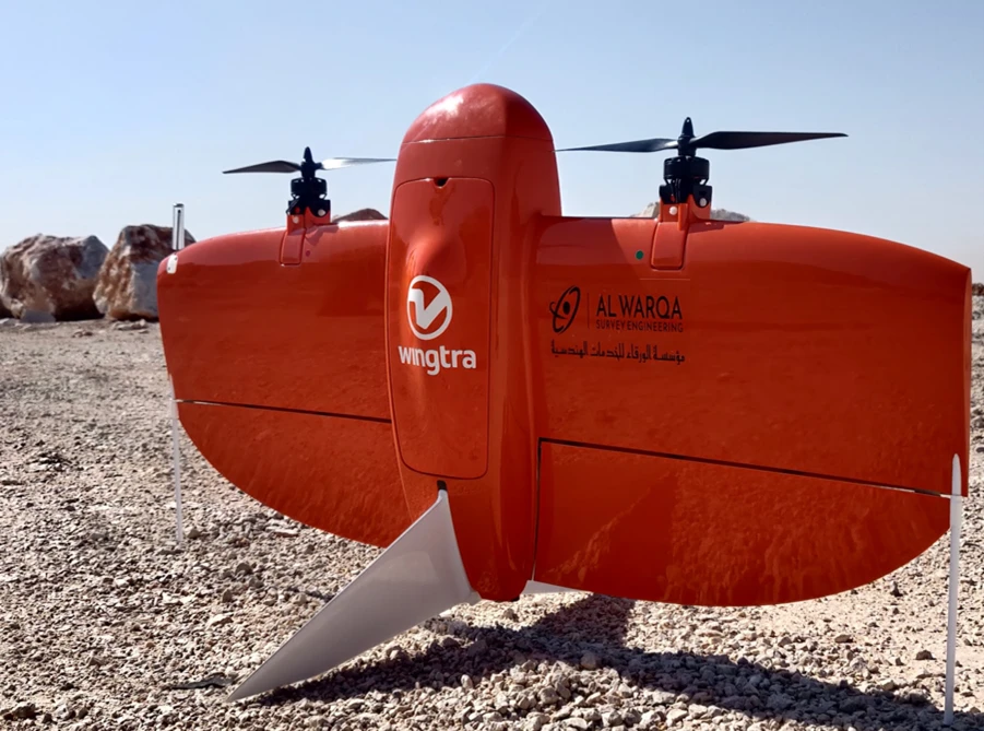
Al Warqa Survey Engineering operates GCAA-licensed UAV platforms fitted with high-resolution zoom, thermal, and RTK-positioned cameras. Every inspection is delivered as a structured report with geotagged imagery, defect severity ratings, and prioritised maintenance recommendations — documentation that supports insurance claims, facility management planning, and authority compliance.
Our Methodology
Delivering excellence through a proven three-stage workflow
Flight Planning & Risk Assessment
Site evaluation, regulatory coordination, and controlled flight planning around structures and infrastructure.
Aerial Data Capture
High-resolution image and video capture of facades, roofs, towers, bridges, and structural components.
Defect Identification & Reporting
Review and annotation of captured data with structured inspection reporting.
Applications
Industry sectors and use cases we serve
Facade & High-Rise Inspections
Identifies cracks, cladding issues, and external deterioration
Bridge & Infrastructure Assessment
Evaluates structural components without traffic disruption
Telecom & Utility Towers
Inspects vertical assets safely and efficiently
Roof & Industrial Facility Inspections
Assesses condition without manual access systems
Thermal & Electrical Inspections
Detects heat anomalies in substations, solar arrays, and MEP systems
Storage Tank & Chimney Inspections
Internal and external assessment of confined vertical assets
Deliverables
What you receive at the end of every project
- Detailed inspection reports with ratings
- Photographic and video documentation
- Defect mapping and priority schedules
- Maintenance recommendations
- Drone inspection imagery and models
- Compliance assessment reports
Technology Stack
Industry-leading equipment and software
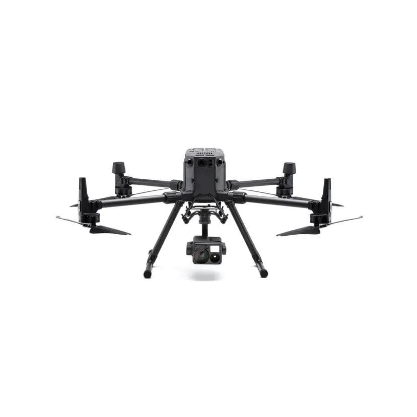
DJI Matrice 300 RTK
Advanced surveying technology for precision data capture and analysis.
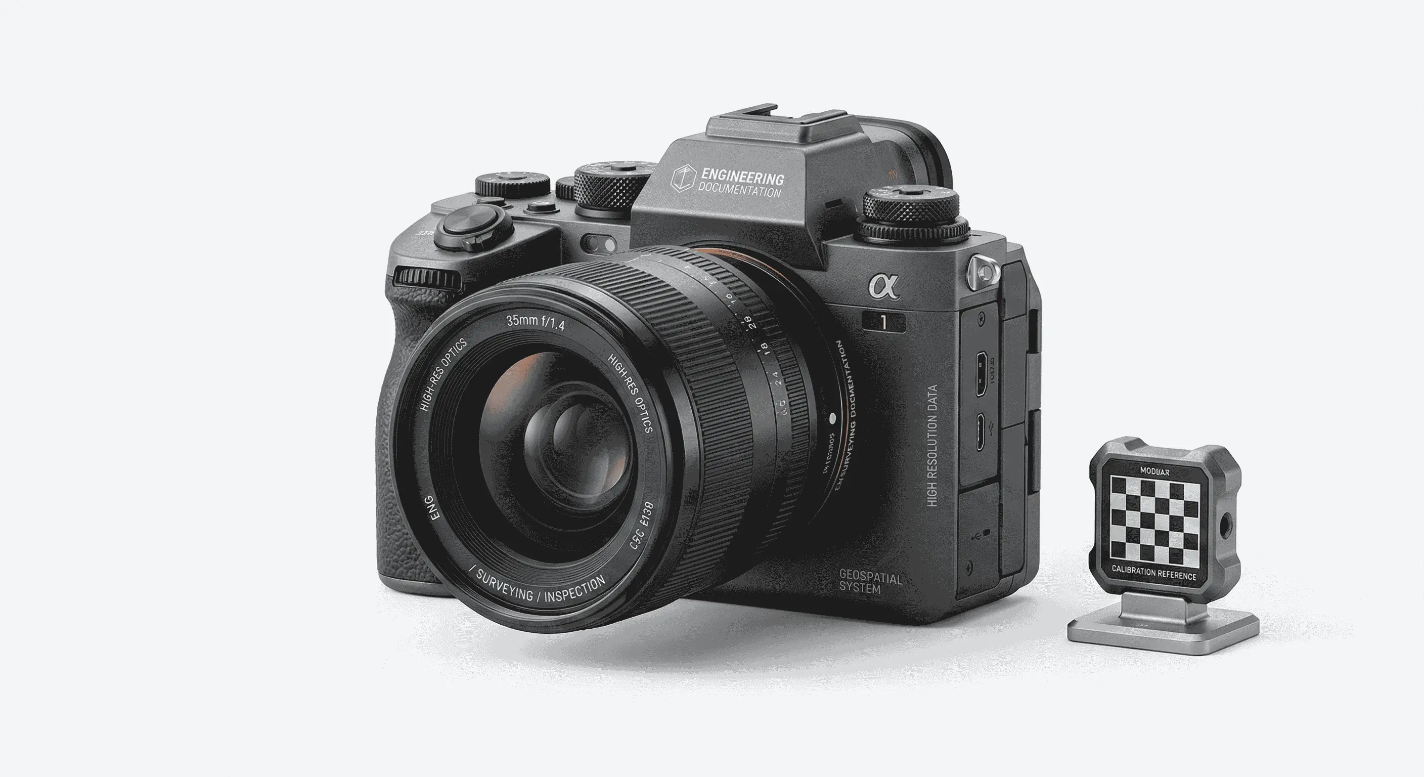
High-Resolution Cameras
Advanced surveying technology for precision data capture and analysis.
Thermal Imaging
Advanced surveying technology for precision data capture and analysis.
AutoCAD
Advanced surveying technology for precision data capture and analysis.

Pix4D Inspect
Advanced surveying technology for precision data capture and analysis.
Frequently Asked Questions
We inspect buildings, bridges, towers, industrial plants, tanks, facades, roofs, and other infrastructure assets.
Yes, drone inspection is ideal for tall structures, facades, and confined spaces. We hold GCAA drone operator certification for all UAE flights.
We recommend annual inspections for critical structures and 3-5 year cycles for general building inspections, depending on asset type and conditions.
Yes, we use standardized rating systems to classify defect severity and prioritize maintenance actions.
Yes. Commercial drone operations in the UAE require GCAA approval and, in Dubai, DCAA permits. Al Warqa Survey Engineering holds the required certifications and manages all airspace approvals as part of the inspection service.
Yes. Our UAVs carry radiometric thermal cameras for detecting heat anomalies in electrical substations, solar panels, building envelopes, and mechanical systems — useful for predictive maintenance and energy audits.
For a standard building or tower, the annotated inspection report is typically delivered within 3-5 working days of the flight. Urgent turnaround can be arranged for time-critical assessments.
Have more questions?
Our team of experts is ready to assist you with your specific project requirements across the GCC.
Related Services
Explore our other professional surveying solutions
Dilapidation Survey Dubai
Pre-construction dilapidation surveys in Dubai and the UAE. Detailed condition reports, photographic documentation, and crack mapping to protect contractors and developers from damage claims.
Aerial Drone Mapping
High-resolution aerial data acquisition for terrain modeling, volumetric analysis, and site documentation.
3D Laser Scanning
High-precision terrestrial laser scanning for detailed 3D capture of buildings, structures, and industrial environments.
Contact us directly
Reach our team instantly via WhatsApp, phone, or email.
Also available in Riyadh