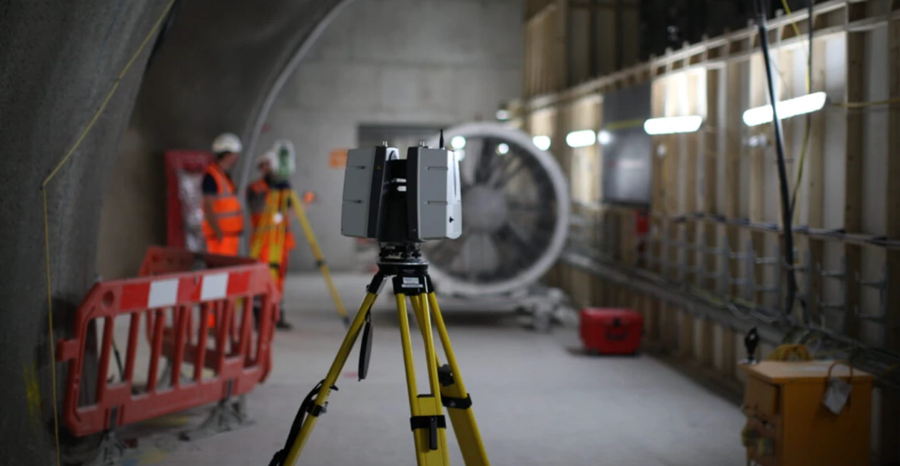
3D Laser Scanning
High-precision terrestrial laser scanning for detailed 3D capture of buildings, structures, and industrial environments.
Precise 3D Spatial Data for Structures and Facilities
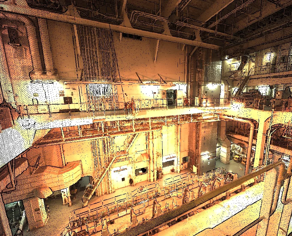
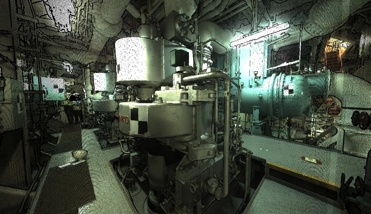
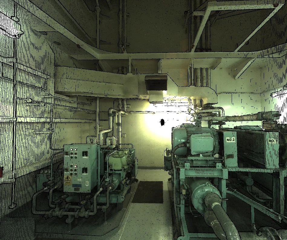
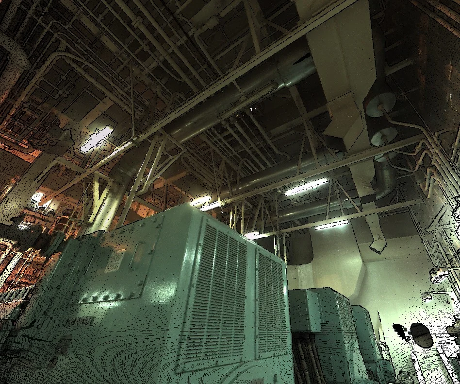
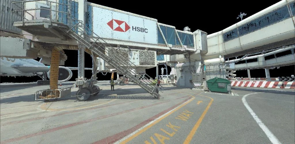
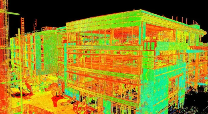
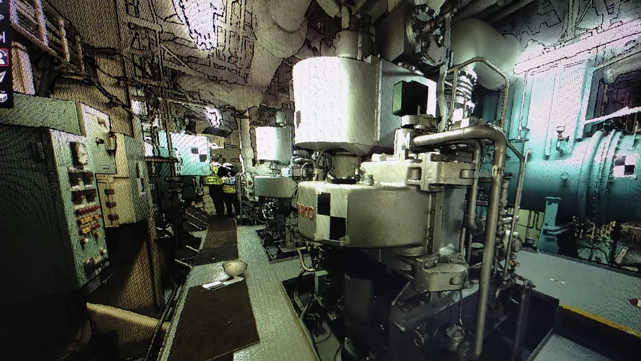
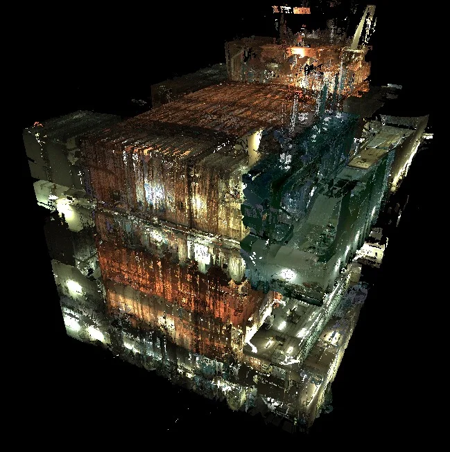
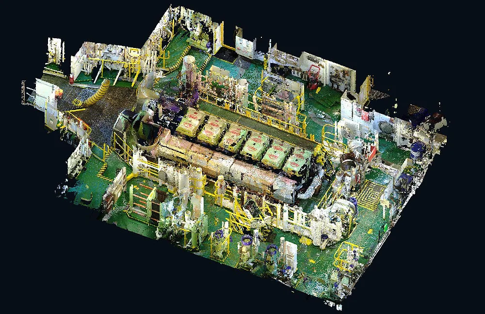
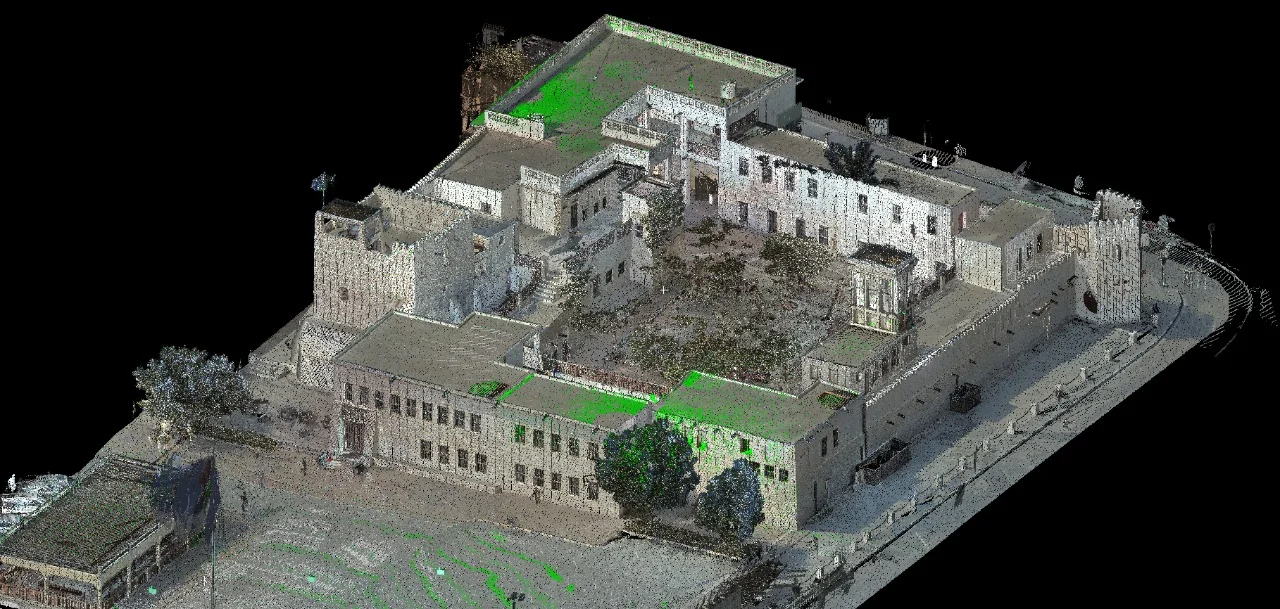
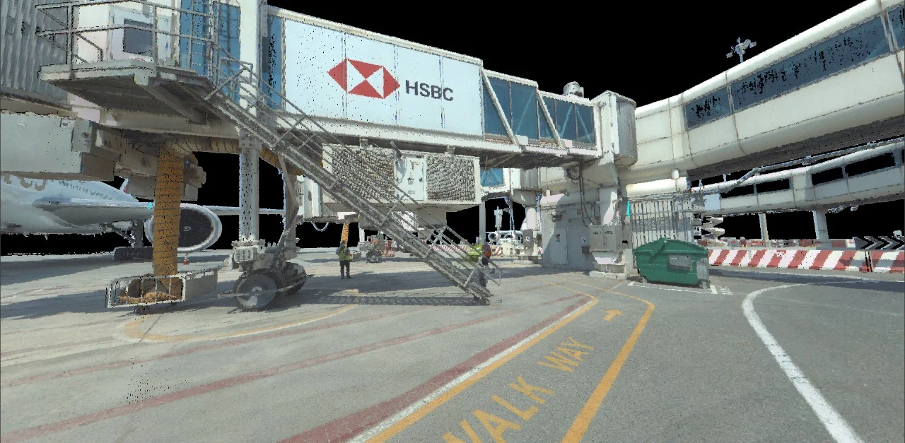
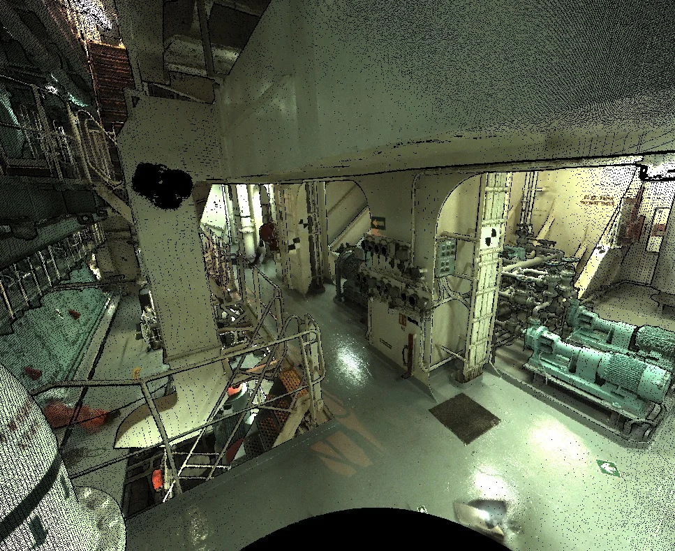
3D laser scanning captures dense, high-accuracy spatial data of existing structures using terrestrial LiDAR systems. The resulting point cloud provides an exact geometric representation of interiors, facades, and structural elements, supporting documentation, verification, and modeling workflows.
Our Methodology
Delivering excellence through a proven three-stage workflow
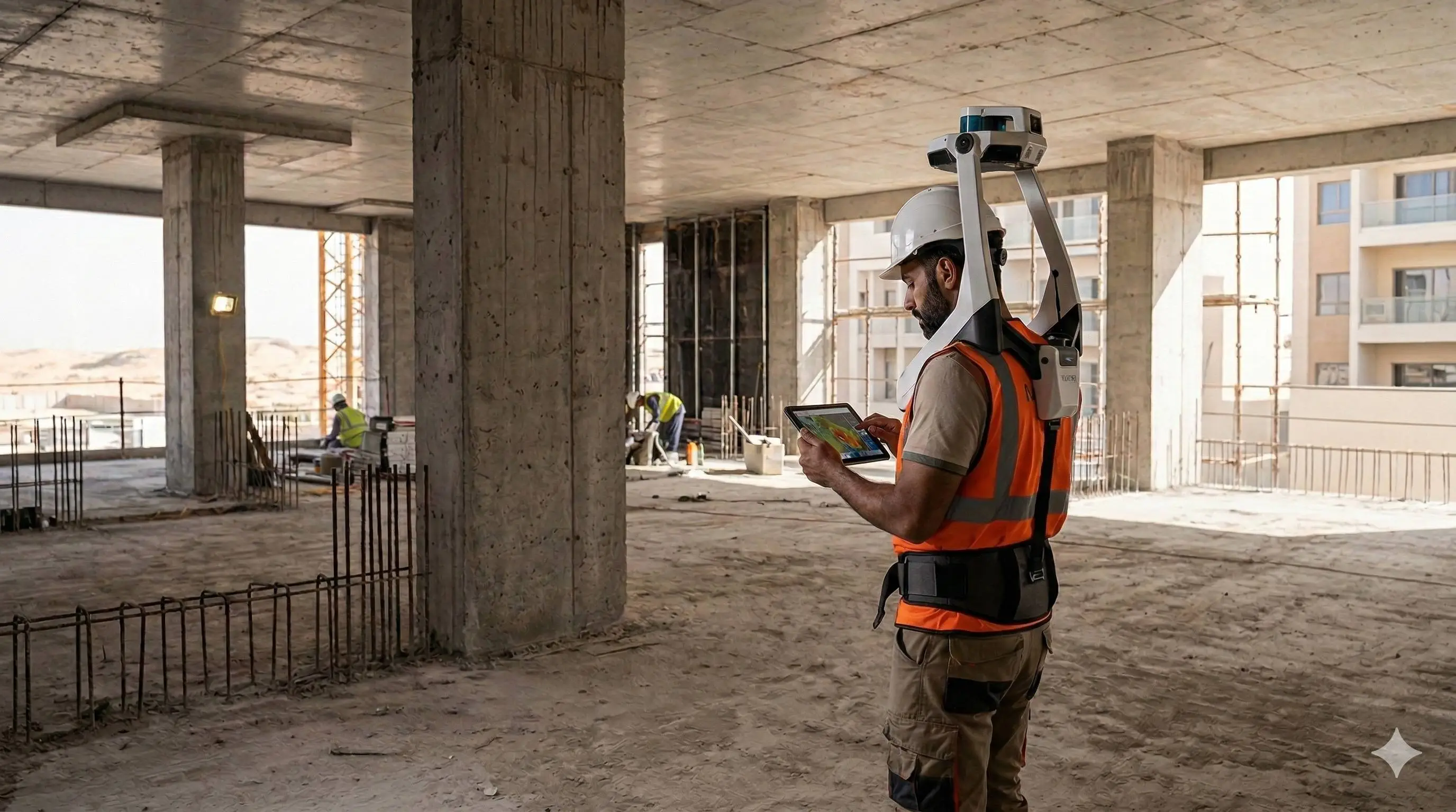
Site Scanning & Control Setup
Deployment of terrestrial laser scanners with control point integration to ensure positional accuracy.
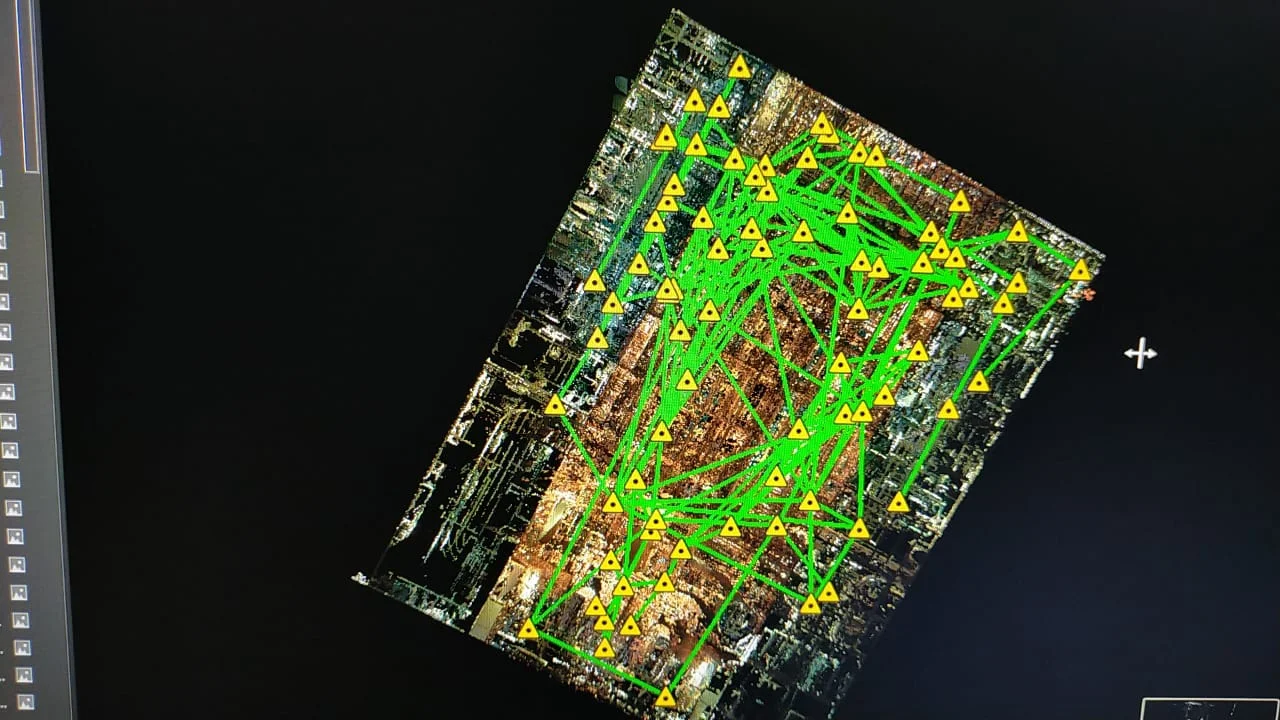
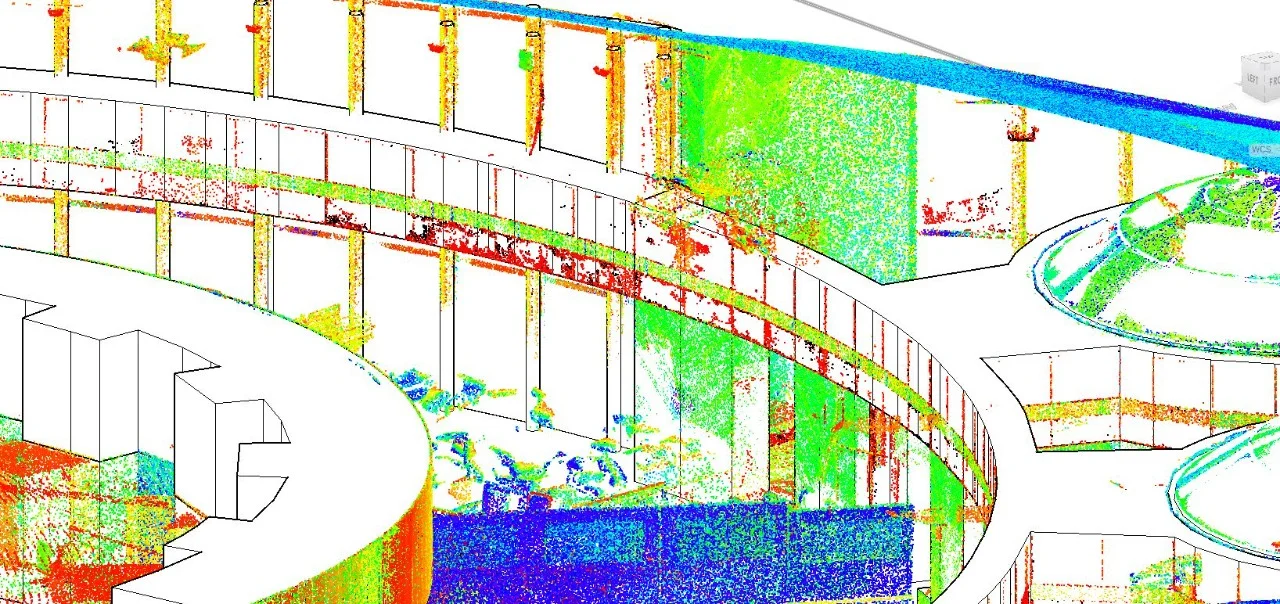
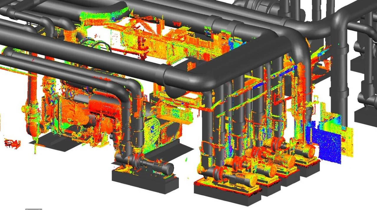
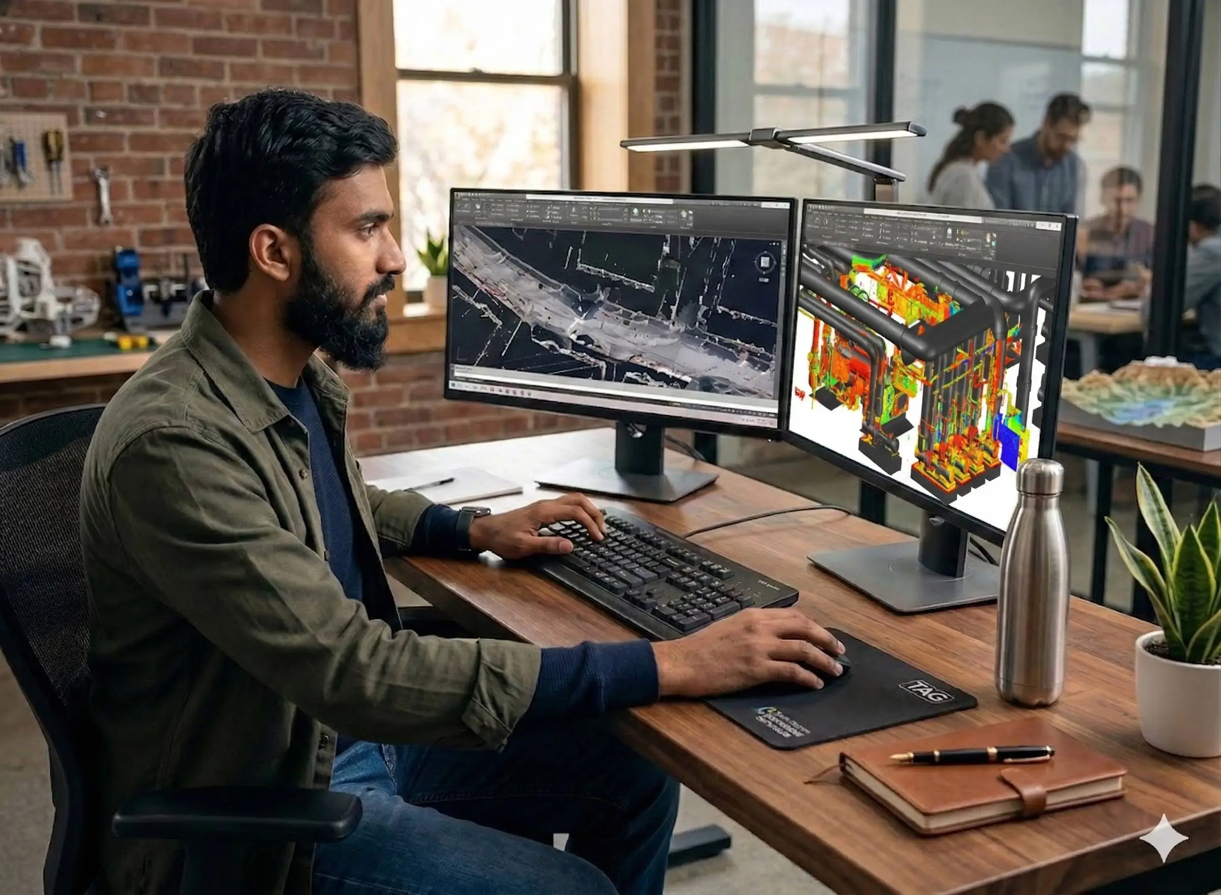
Point Cloud Registration & Processing
Alignment and merging of multiple scan positions into a unified coordinate system with noise filtering and validation.
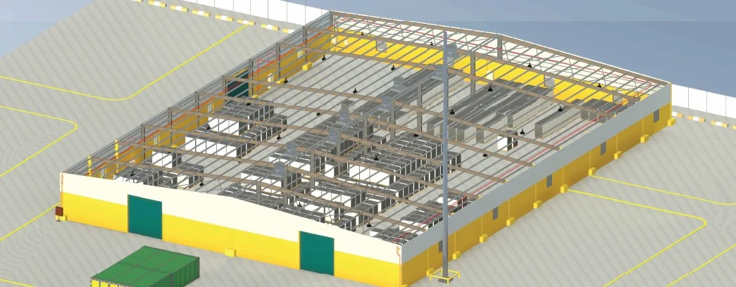
Model & Drawing Extraction
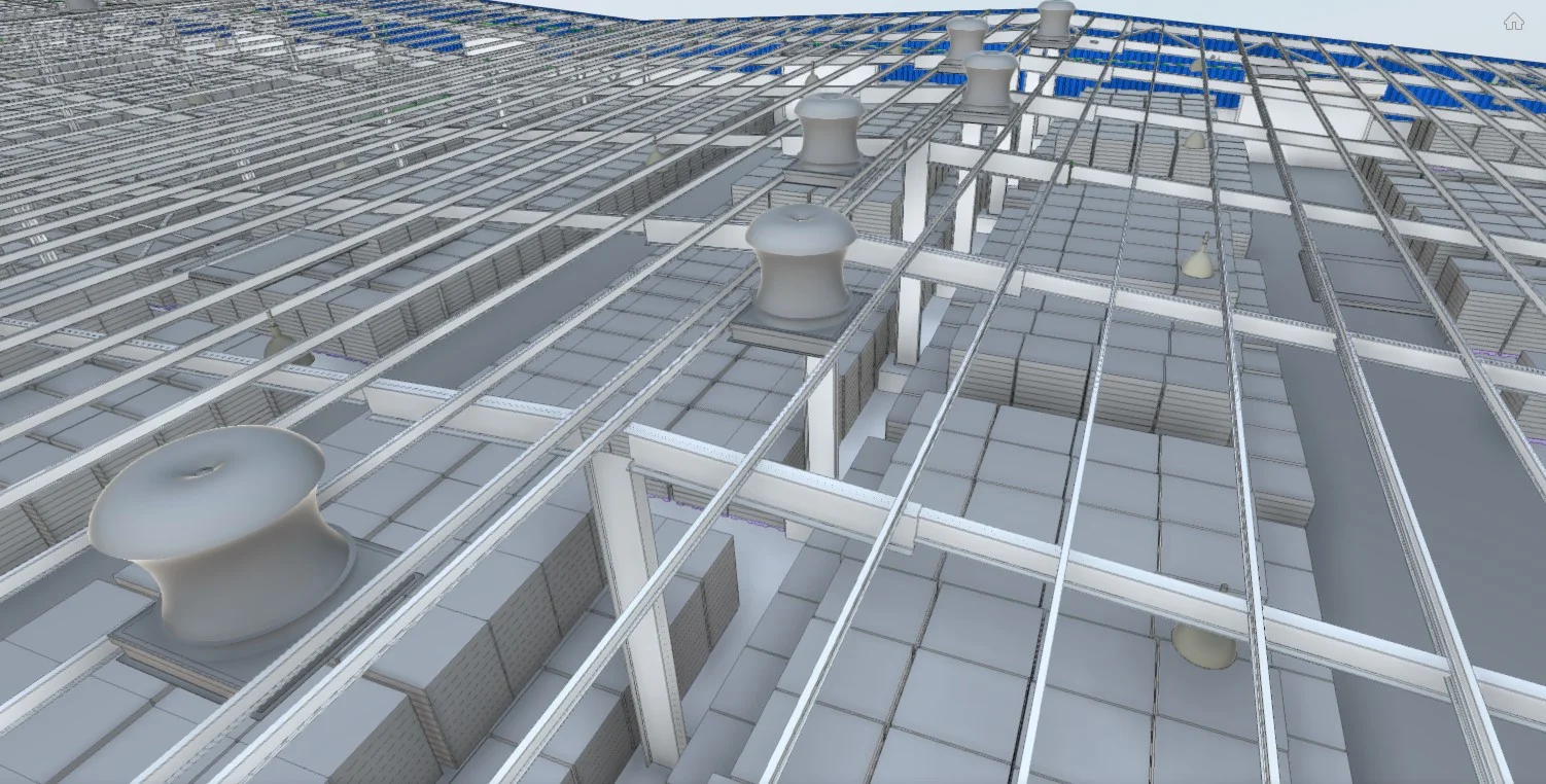
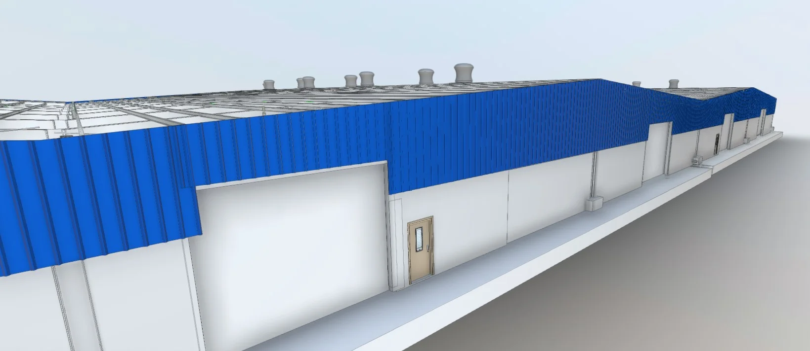
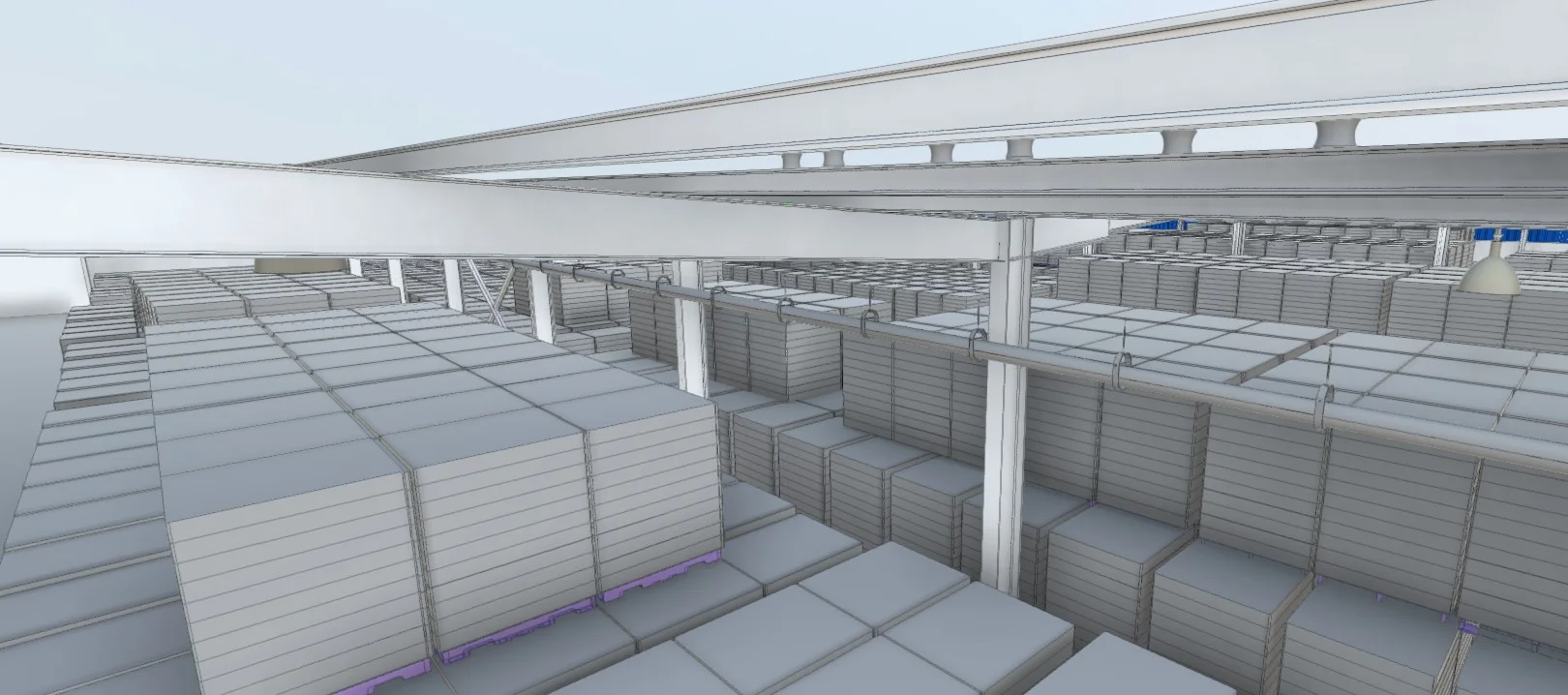
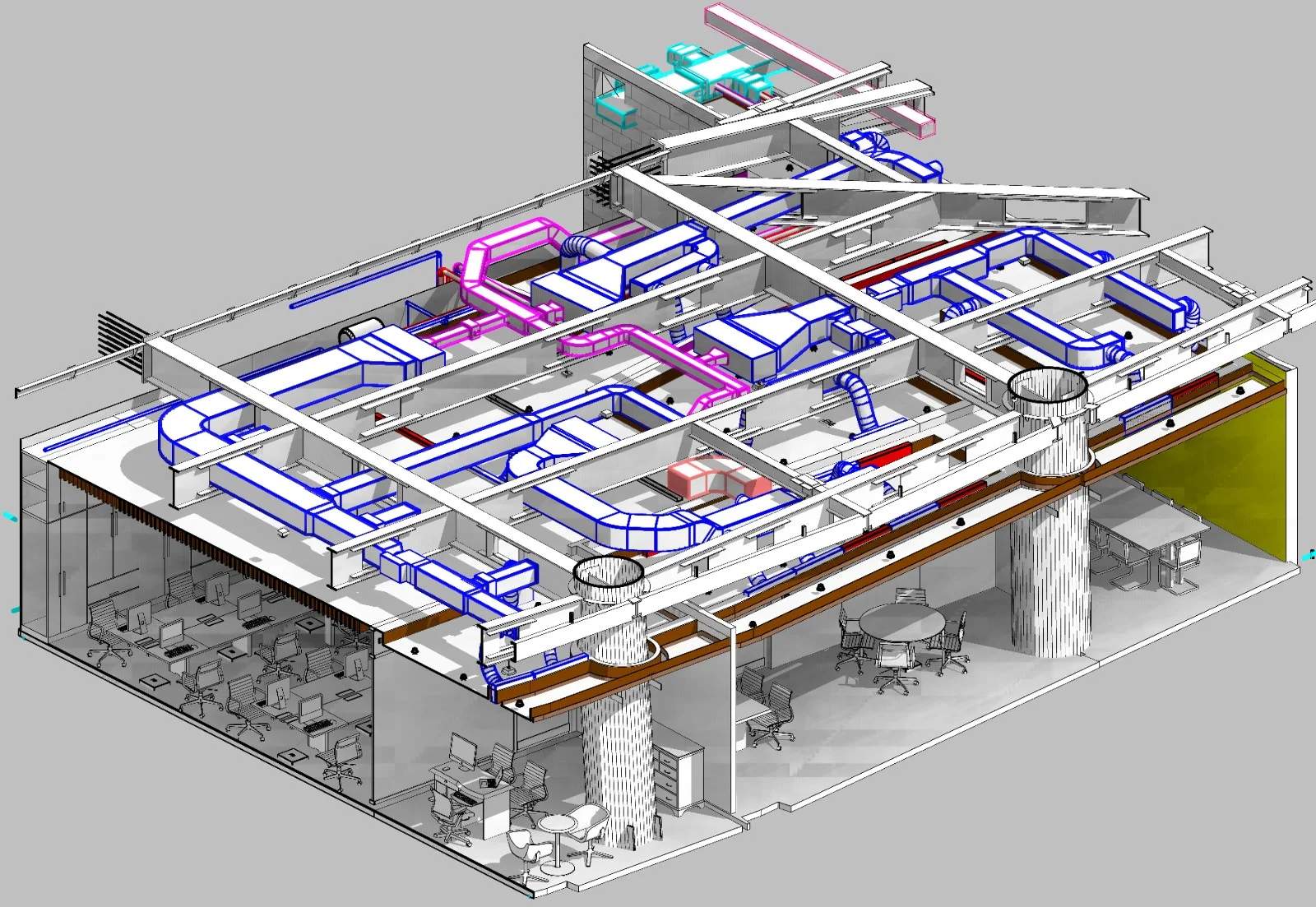
Generation of floor plans, elevations, sections, and 3D models from the verified point cloud dataset.
Applications
Industry sectors and use cases we serve
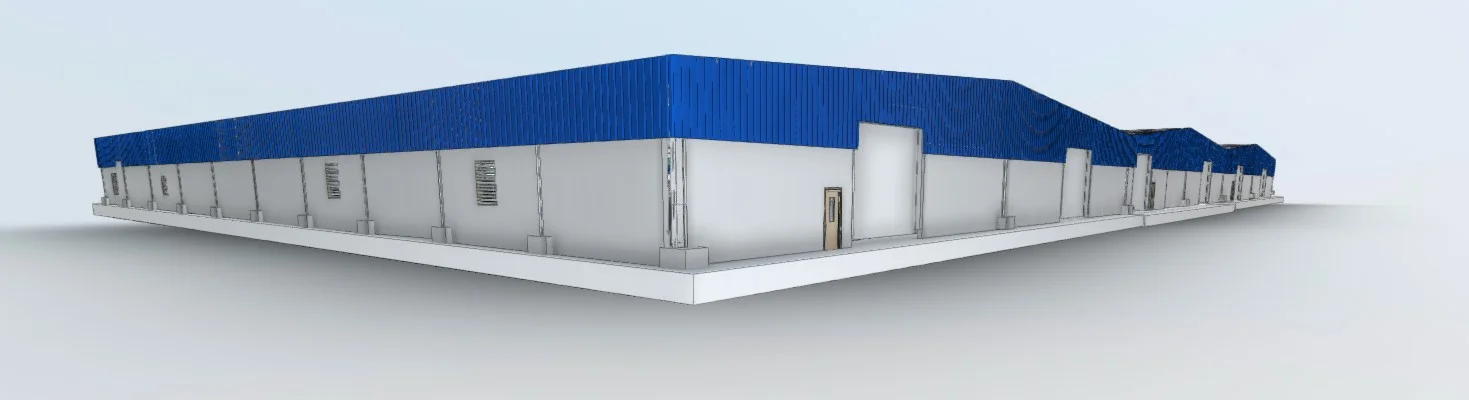
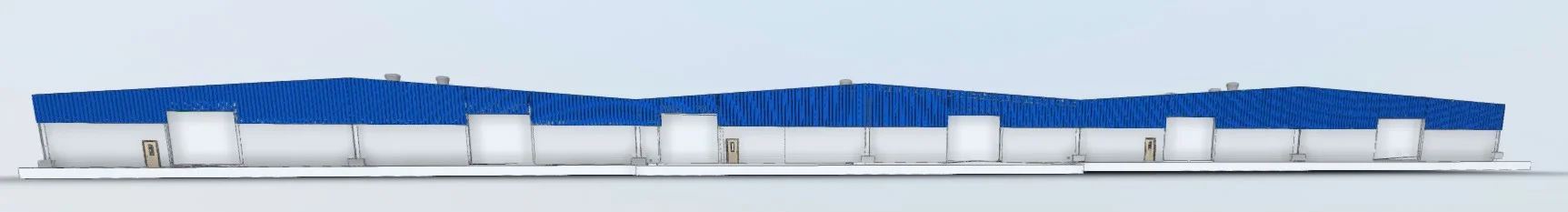
Building Documentation
Creates accurate records of existing structures for reference and planning
Redevelopment & Renovation Projects
Provides verified geometry prior to design modifications
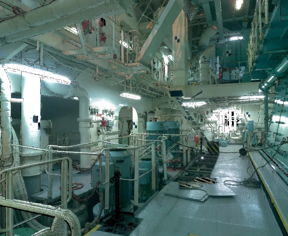
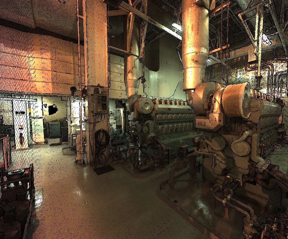
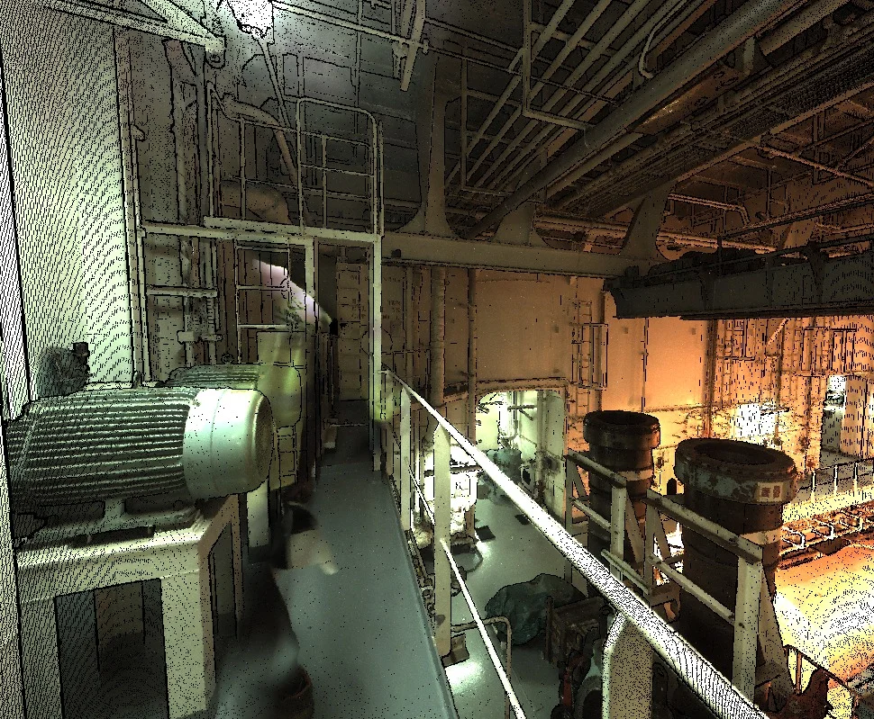
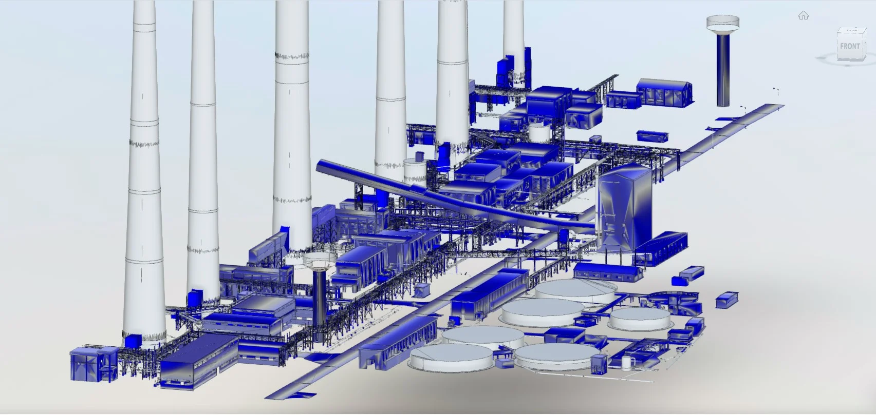
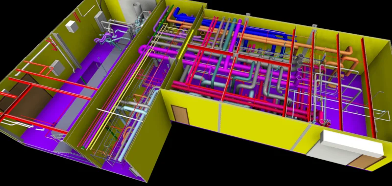
Industrial & Plant Facilities
Captures complex environments for coordination and upgrades
Structural Verification
Confirms dimensions, alignments, and level differences
Deliverables
What you receive at the end of every project
- Registered and cleaned point cloud datasetRCP / E57 / LAS
- 3D mesh models
- Floor plans, elevations, and sectional drawings
- Structural layout drawings
- BIM-ready models (if required)
- Deviation analysis reports
- Survey accuracy statement


Technology Stack
Industry-leading equipment and software
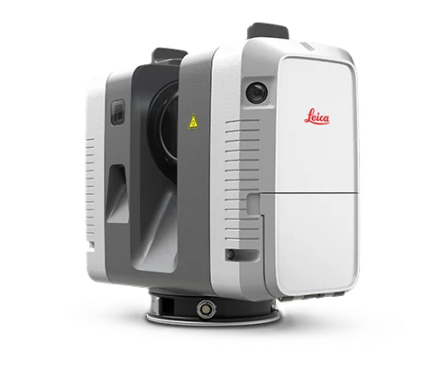
Leica RTC360
Advanced surveying technology for precision data capture and analysis.
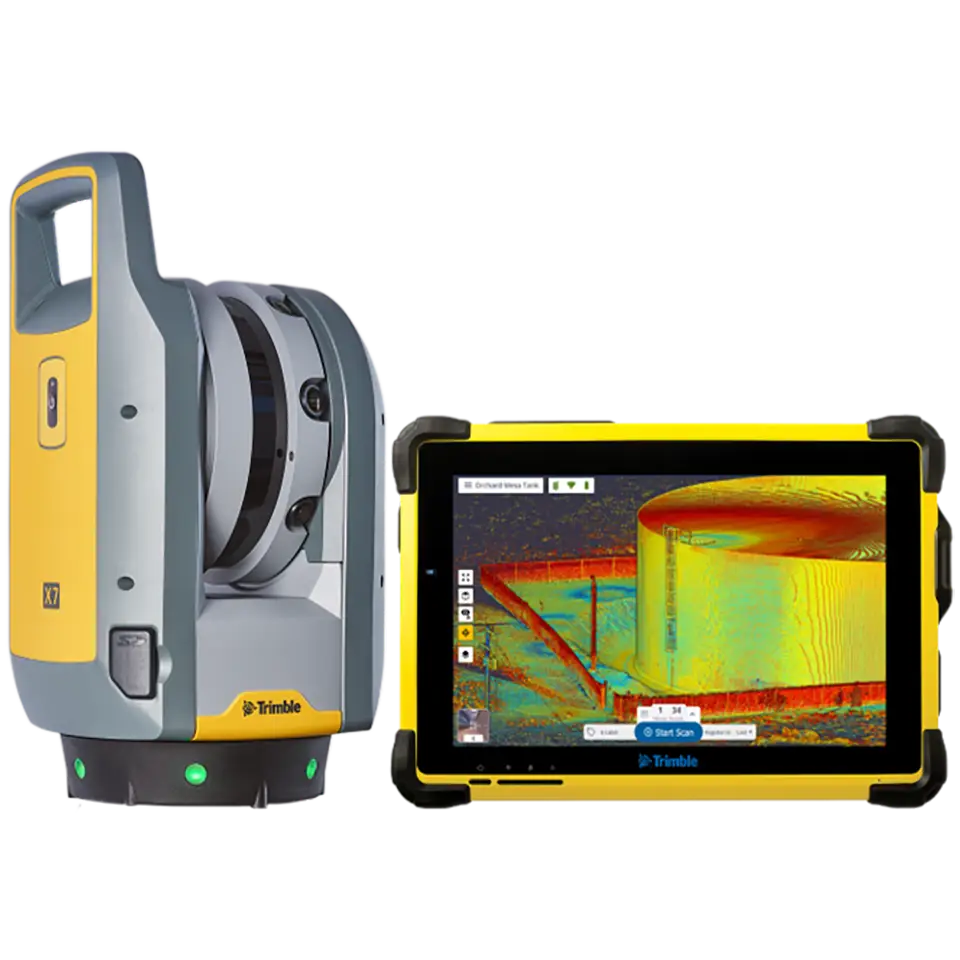
Trimble X7
Advanced surveying technology for precision data capture and analysis.
Cyclone REGISTER 360
Advanced surveying technology for precision data capture and analysis.
CloudCompare
Advanced surveying technology for precision data capture and analysis.
Revit & Navisworks
Advanced surveying technology for precision data capture and analysis.
Frequently Asked Questions
Our terrestrial laser scanners achieve point accuracy of 2-6mm at ranges up to 100m, suitable for all engineering and BIM applications.
Field scanning typically takes 1-3 days depending on site size and complexity. Processing and model delivery takes 5-10 business days.
Yes, our equipment is safe for use in operating environments. We coordinate with facility managers to minimize disruption.
We deliver E57, LAS, RCP point clouds, plus AutoCAD DWG, Revit RVT, and PDF drawings as needed.
Have more questions?
Our team of experts is ready to assist you with your specific project requirements across the GCC.
Related Services
Explore our other professional surveying solutions
BIM Modeling
Creation of structured Building Information Models from survey, LiDAR, and 3D scan data.
3D Modelling Services
High-accuracy 3D modelling of terrain, assets, structures, and environments from point cloud, photogrammetry, and survey data.
As-Built Surveys (3D Laser Scanning-Based)
High-accuracy 3D laser scanning for documentation and verification of existing building structures, including slab levels, core walls, and structural geometry.
Contact us directly
Reach our team instantly via WhatsApp, phone, or email.
Also available in Riyadh