Plot Demarcation UAE
Accurate plot demarcation and boundary survey services across the UAE. Land parcel verification, corner pegging, and authority-compliant cadastral documentation for property development.
Plot Demarcation & Boundary Survey Services in the UAE
Plot demarcation surveys establish and physically mark the legal boundaries of a land parcel as defined in the title deed and approved subdivision plan. Corner pegs, boundary markers, and certified survey documentation are provided for authority approvals, property registration, and construction commencement.
Al Warqa Survey Engineering delivers plot demarcation across Dubai, Sharjah, Ras Al Khaimah, and the wider UAE, with survey plans prepared to Dubai Municipality, DLD, and relevant emirate authority standards.
Our Methodology
Delivering excellence through a proven three-stage workflow
Title & Record Research
Review of registered title deed, approved subdivision plan, and historical survey records to determine legal boundary positions.
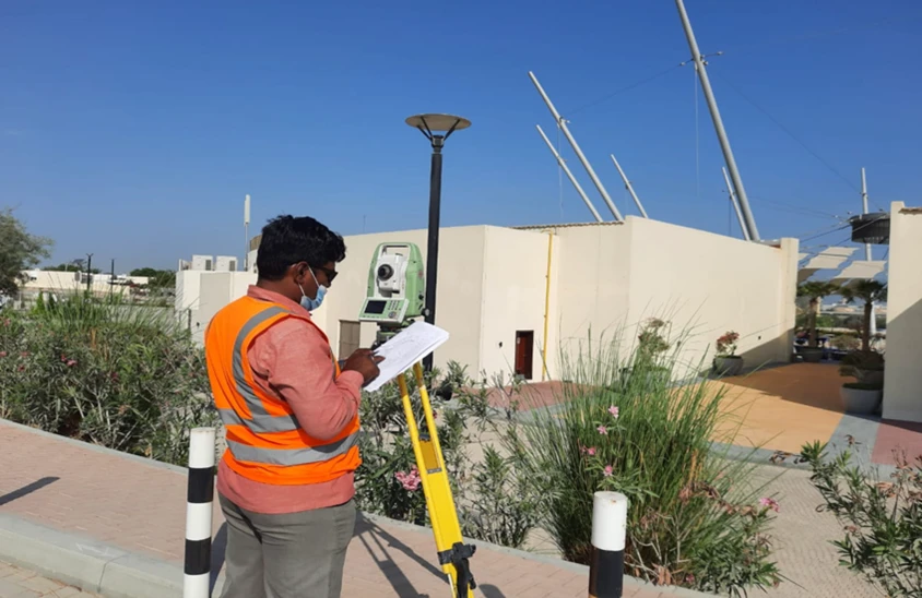
Boundary Survey & Pegging
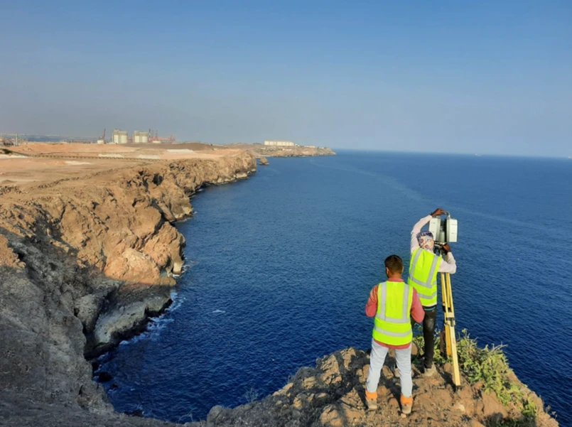
GNSS and total station survey to precisely locate and peg boundary corners in accordance with title coordinates.
Plan Preparation & Certification
Production of authority-compliant boundary plans with area calculations and survey certificate.
Applications
Industry sectors and use cases we serve
Property Boundary Demarcation
Physical pegging of land parcel corners and boundaries
Subdivision & Parcel Splitting
Defines and marks new lots created by subdivision
Title Deed Verification
Confirms that site boundaries match registered title extents
Construction Set-Out Reference
Provides site boundary framework for building layout
Authority & DLD Submissions
Prepares certified plans for land department registrations
Deliverables
What you receive at the end of every project
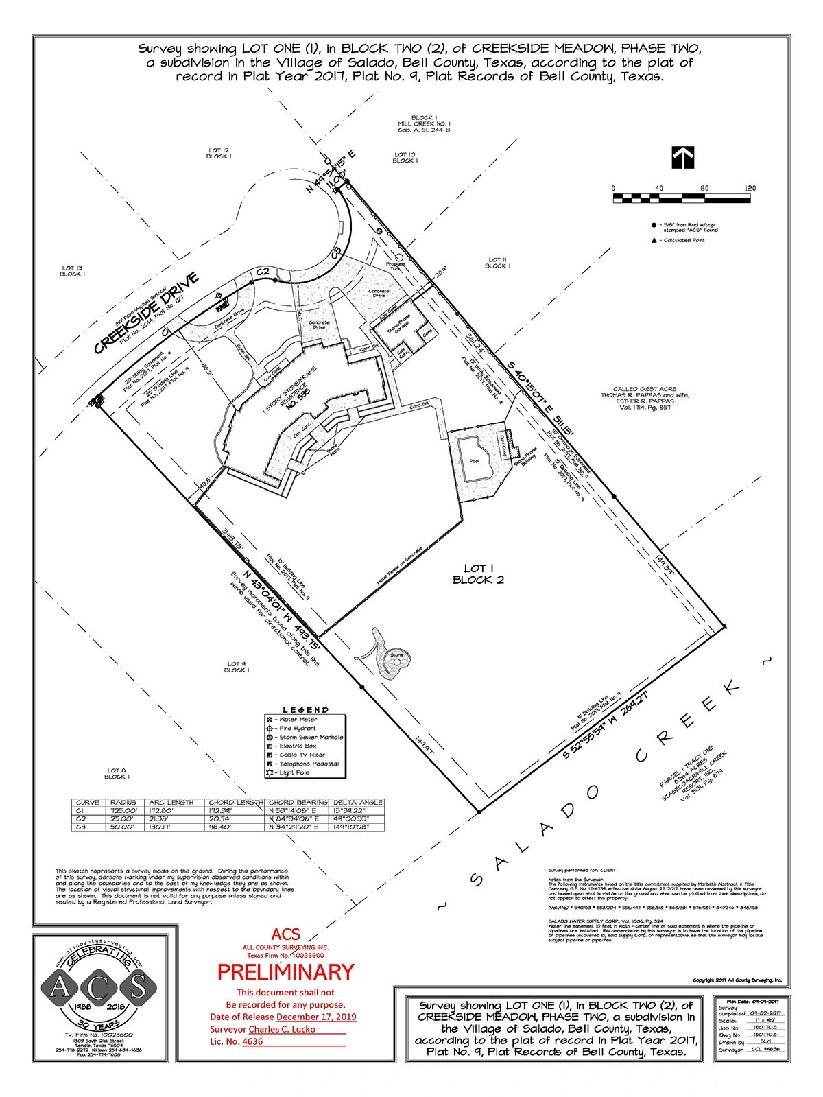
- Plot boundary and demarcation planDWG / DXF / PDF
- Boundary corner coordinate schedule
- Area calculation report
- Boundary pegging on site
- Authority-compliant cadastral documentation
- Survey accuracy statement
Technology Stack
Industry-leading equipment and software
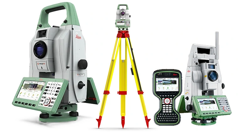
GNSS & Total Stations
Advanced surveying technology for precision data capture and analysis.
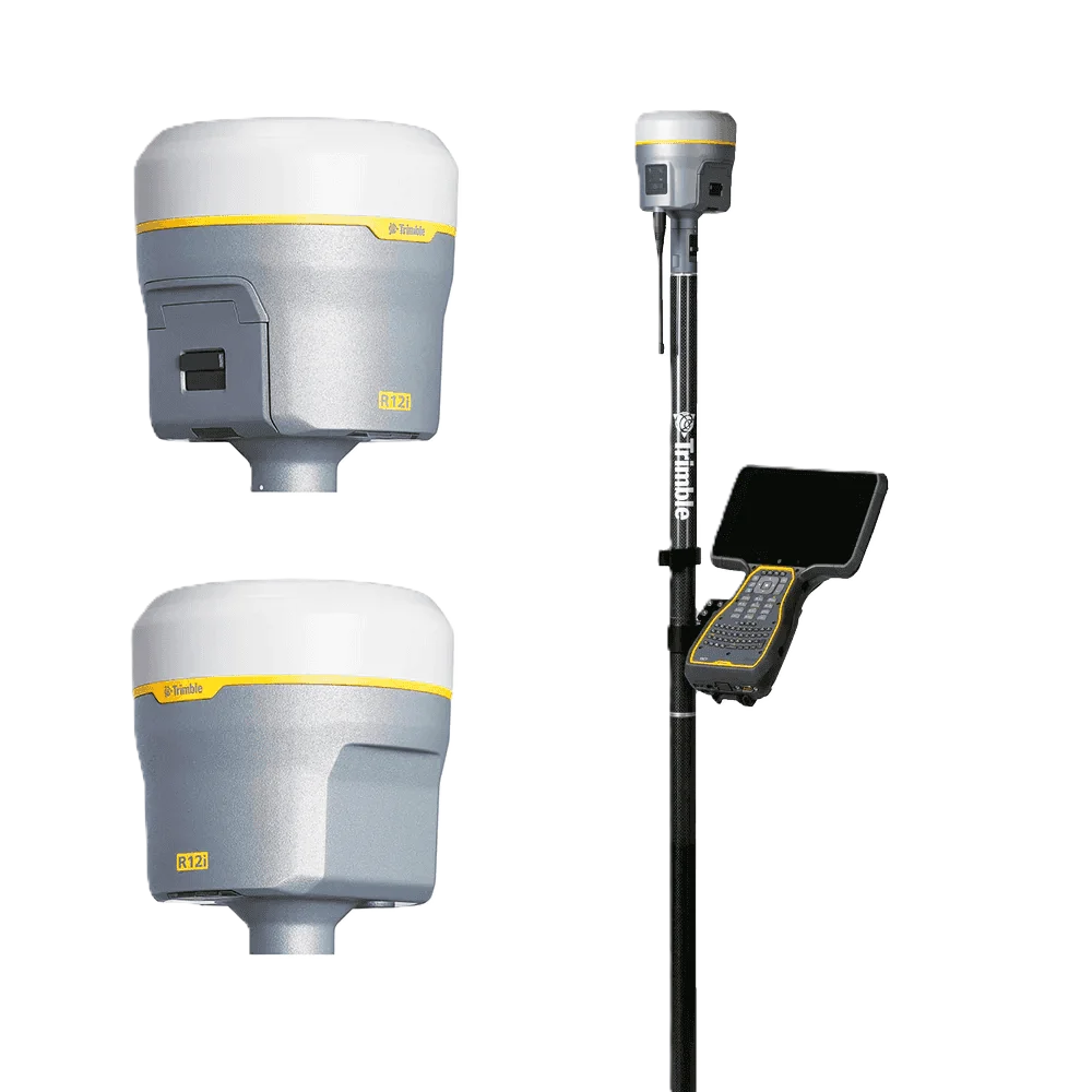
Trimble R12 GNSS
Advanced surveying technology for precision data capture and analysis.
AutoCAD
Advanced surveying technology for precision data capture and analysis.

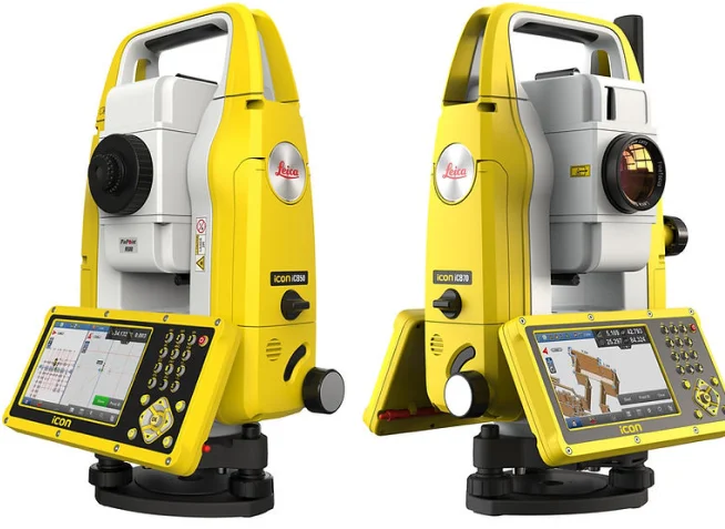
Leica Captivate
Advanced surveying technology for precision data capture and analysis.
LSS (Land Survey Software)
Advanced surveying technology for precision data capture and analysis.
Frequently Asked Questions
Plot demarcation is the process of physically marking the legal boundaries of a land parcel on the ground using survey pegs, following the coordinates in the registered title deed.
Yes, in most UAE emirates a demarcation survey is required before building permit issuance to confirm the structure will be built within the legal parcel boundaries.
Yes. We prepare boundary plans to the standards required by the Dubai Land Department and Dubai Municipality, and can coordinate submissions on your behalf.
Field work for a standard residential plot takes 1 day. Plan preparation and certification takes 2–3 business days.
Have more questions?
Our team of experts is ready to assist you with your specific project requirements across the GCC.
Related Services
Explore our other professional surveying solutions
Land, Engineering & Cadastral Surveying
Precision boundary, control, and engineering surveys supporting development, construction, and regulatory approvals.
Topographic & Terrain Mapping
High-accuracy terrain and elevation mapping for infrastructure, development, and engineering projects.

As-Built Surveys (3D Laser Scanning-Based)
High-accuracy 3D laser scanning for documentation and verification of existing building structures, including slab levels, core walls, and structural geometry.
Contact us directly
Reach our team instantly via WhatsApp, phone, or email.
Also available in Riyadh