Land Survey Dubai
Professional land survey services in Dubai for construction, development, and infrastructure projects. Authority-approved, ISO-certified, 25+ years experience.
Land Survey Services in Dubai — Authority-Approved & Certified
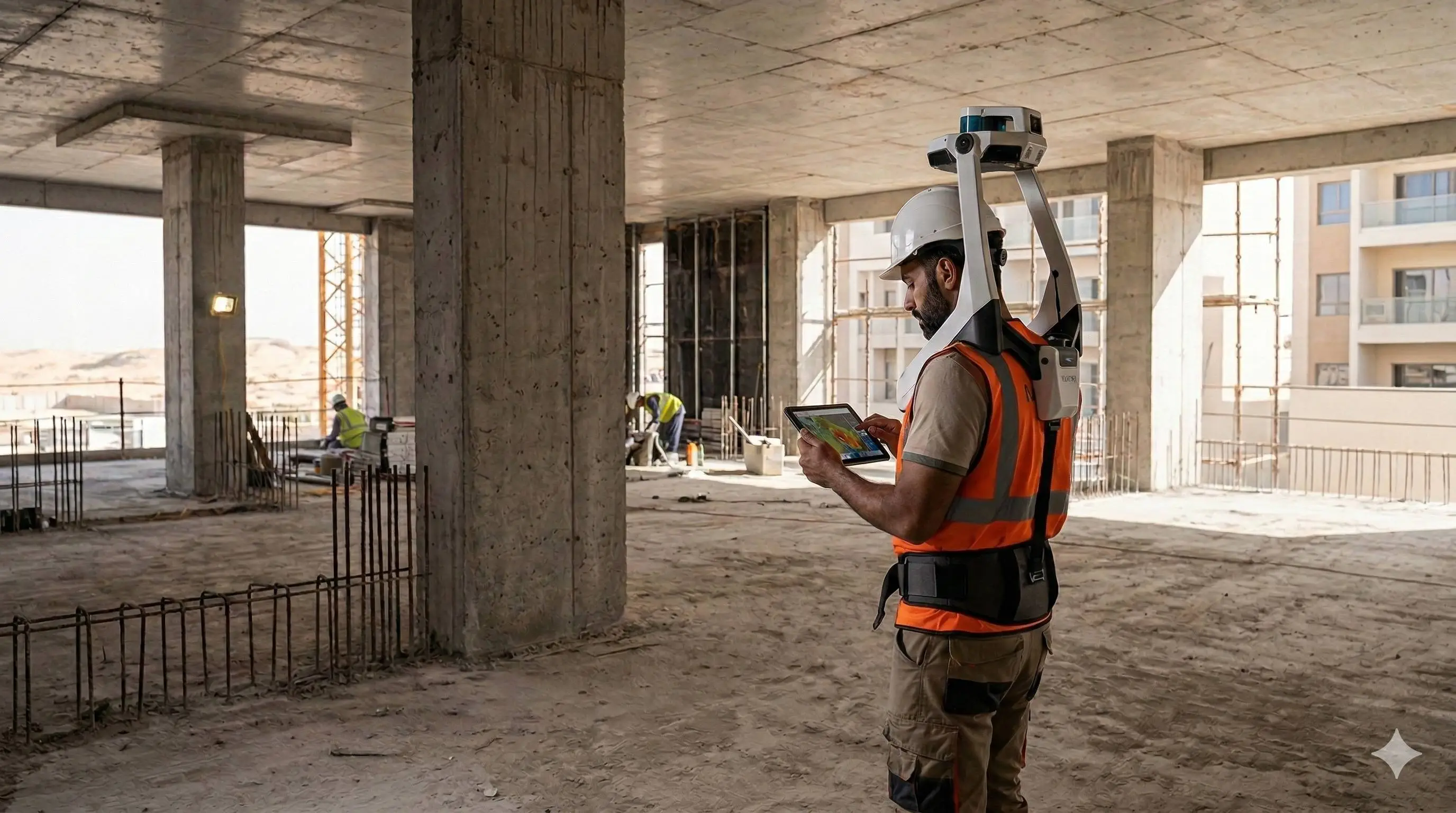
Al Warqa Survey Engineering delivers land survey services across Dubai for residential, commercial, and infrastructure projects. We hold active Dubai Municipality registration, TRAKHEES approval, and DDA approvals — ensuring your survey drawings are accepted by the relevant authority without rejection or revision requests.
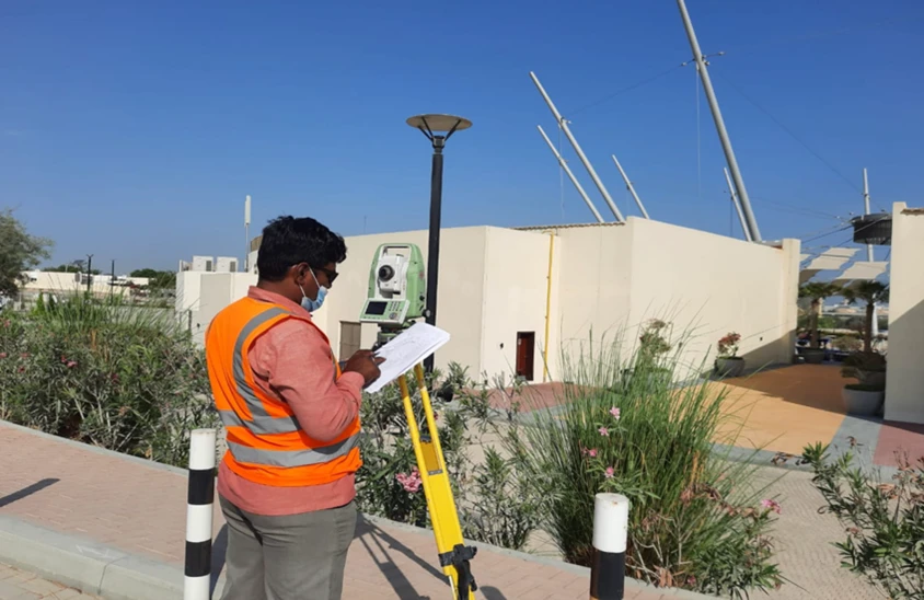
Our land survey team operates with Leica and Trimble total stations and GNSS equipment, delivering CAD drawings to the Dubai Local Coordinate System (DLCS) with accuracy statements and signed deliverables ready for permit submission.
Our Methodology
Delivering excellence through a proven three-stage workflow
Control Network Setup
Establish horizontal and vertical control referenced to Dubai Local Coordinate System and Dubai Municipality datum.
Field Survey Execution
Systematic measurement using robotic total station and GNSS RTK, capturing all required features and levels.
CAD Drawing & Delivery
Produce authority-ready CAD drawings, accuracy statement, and digital deliverables within agreed turnaround.
Applications
Industry sectors and use cases we serve
Building Permit Submissions
DM-compliant topographic and cadastral surveys for NOC and permit applications
Plot Demarcation & Boundary Surveys
Legal boundary verification and corner pegging for property transactions
Setting-Out Surveys
Precise layout of approved design positions for construction
As-Built & Completion Surveys
Post-construction documentation for authority sign-off
Deliverables
What you receive at the end of every project
- Topographic survey planDWG / DXF — DLCS coordinate system
- Boundary survey plan with coordinates
- Setting-out drawings and peg schedule
- As-built survey plan
- Authority-compliant digital and hard copy deliverables
- Survey accuracy statement
Technology Stack
Industry-leading equipment and software
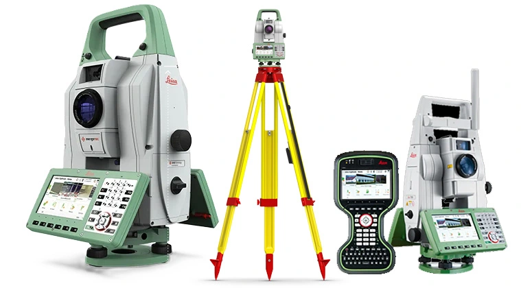
Leica TS16 Total Station
Advanced surveying technology for precision data capture and analysis.
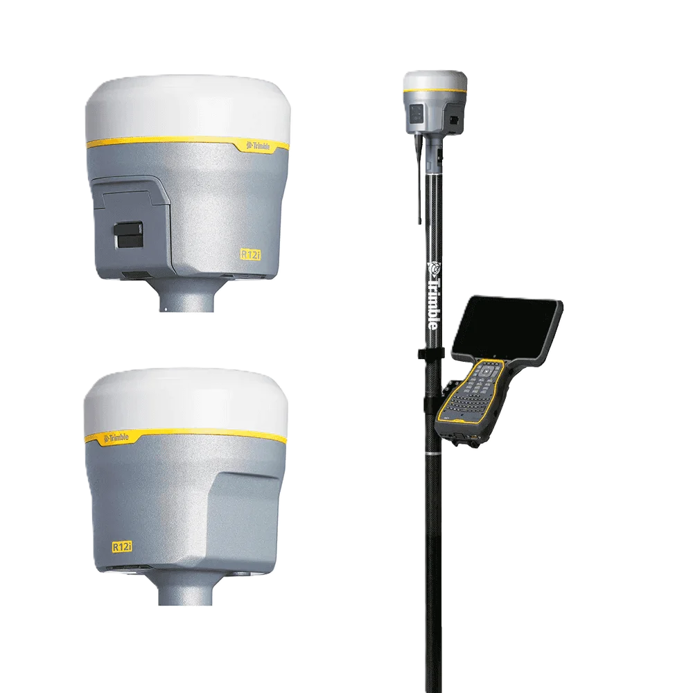
Trimble R12 GNSS
Advanced surveying technology for precision data capture and analysis.
AutoCAD Civil 3D
Advanced surveying technology for precision data capture and analysis.
Frequently Asked Questions
Yes. All topographic survey drawings submitted to Dubai Municipality must be produced by a licensed and DM-registered surveyor. Al Warqa Survey Engineering holds active DM registration — your drawings will be accepted.
A standard residential plot survey (up to 1,000 sqm) starts from AED 2,500–4,500. Larger sites, complex terrain, or multi-deliverable scopes are quoted based on site-specific requirements. Contact us for a fixed-price quote.
Most standard plot surveys are completed within 1–2 working days for fieldwork, with CAD drawings delivered within 3–5 working days of the survey date.
We use the Dubai Local Coordinate System (DLCS) as required by Dubai Municipality. For TRAKHEES, DDA, and other authorities, we apply the coordinate system specified by the relevant body.
Have more questions?
Our team of experts is ready to assist you with your specific project requirements across the GCC.
Related Services
Explore our other professional surveying solutions
Topographical Survey Dubai
Accurate topographical surveys in Dubai capturing terrain features, ground levels, and surface detail for engineering design, planning, and development projects.
As-Built Survey Dubai
Accurate as-built surveys in Dubai documenting completed construction against approved designs. CAD drawings and point cloud capture for authorities, developers, and contractors.

Aerial Drone Mapping
High-resolution aerial data acquisition for terrain modeling, volumetric analysis, and site documentation.
Contact us directly
Reach our team instantly via WhatsApp, phone, or email.
Also available in Riyadh