As-Built Survey Dubai
Accurate as-built surveys in Dubai documenting completed construction against approved designs. CAD drawings and point cloud capture for authorities, developers, and contractors.
As-Built Survey Services in Dubai & Across the UAE
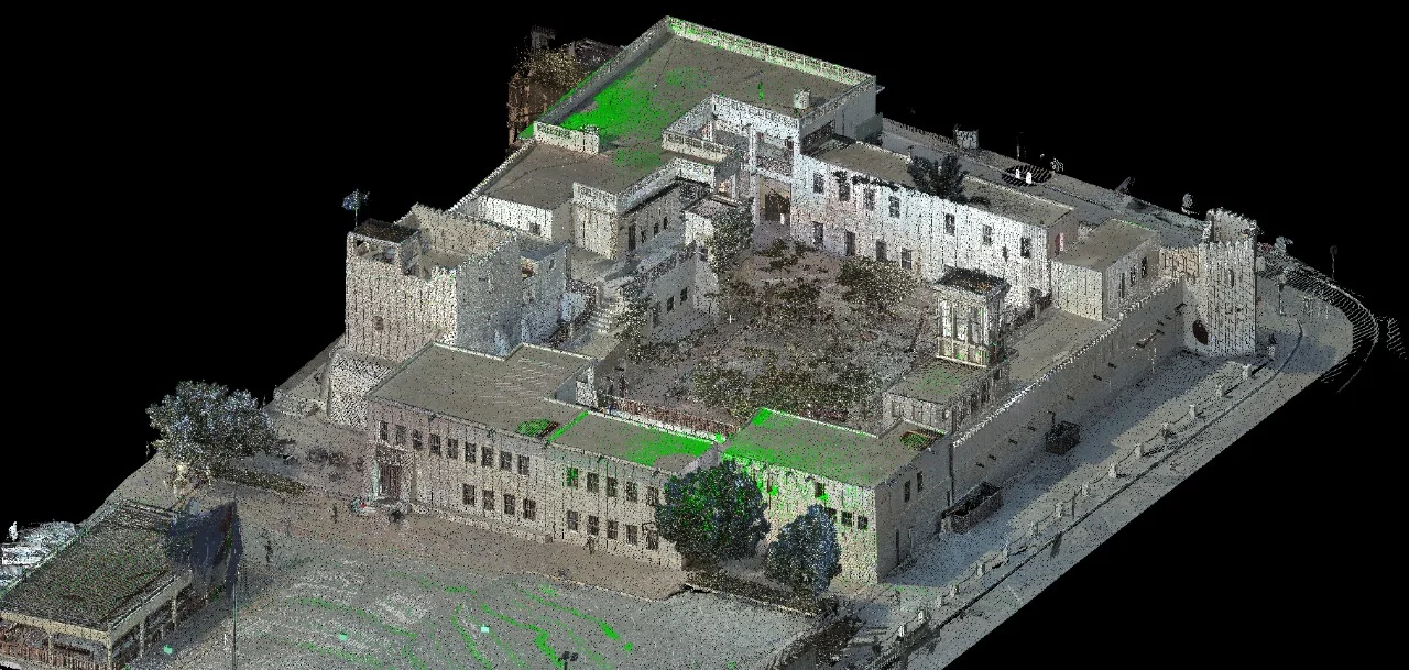
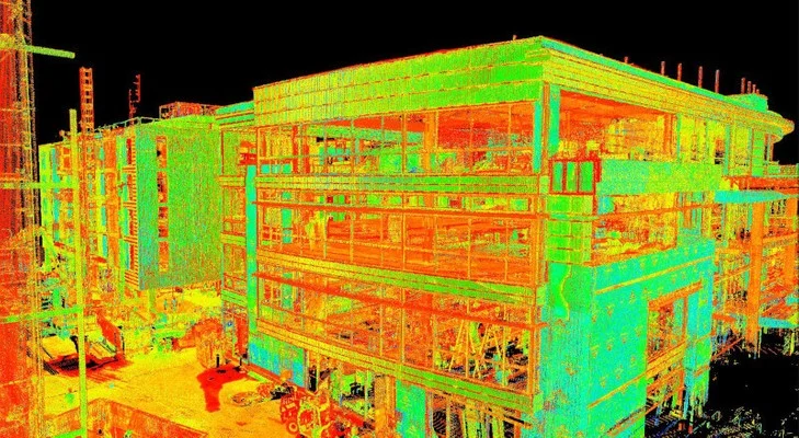
An as-built survey captures the exact geometry of a completed structure or site — recording what was actually built, not what the design drawings showed. In Dubai and the UAE, as-built surveys are required by Dubai Municipality, TRAKHEES, and other authorities as part of the completion certificate and NOC process.
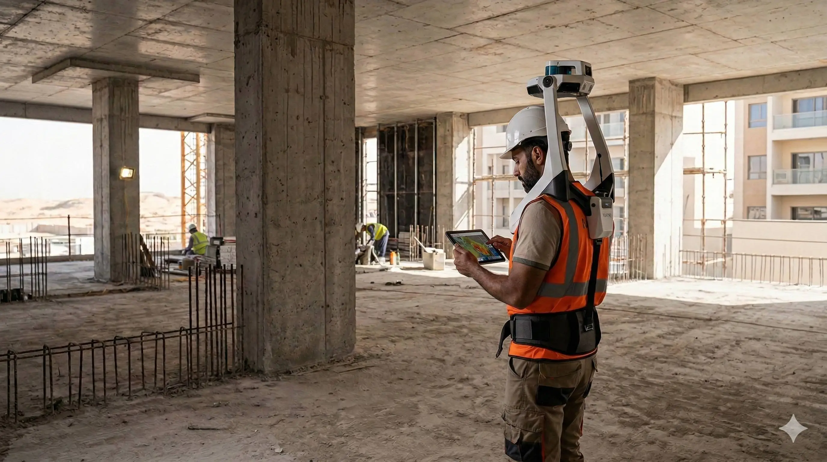
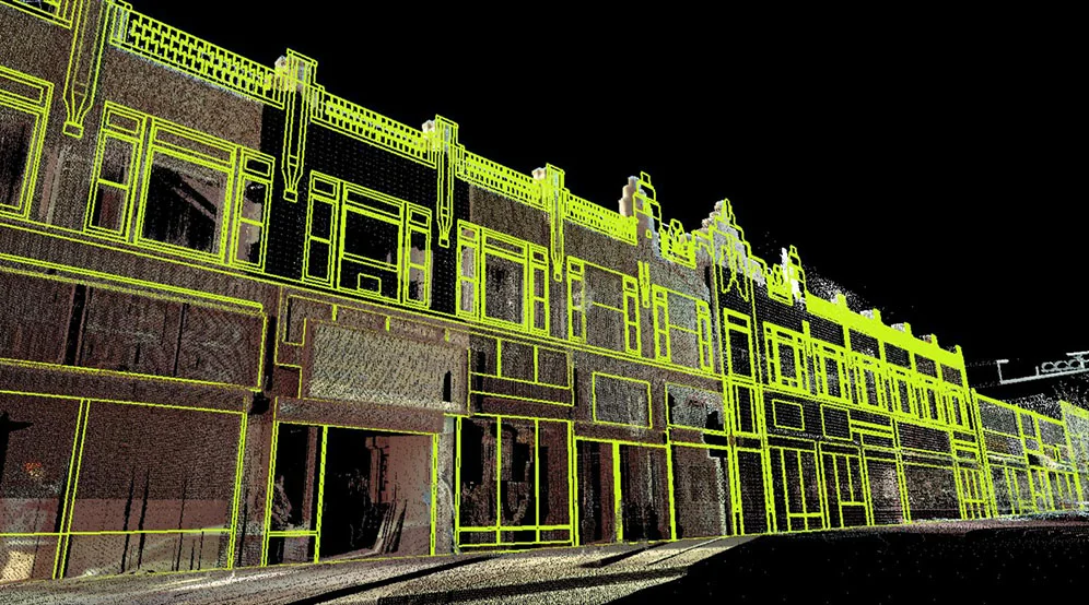
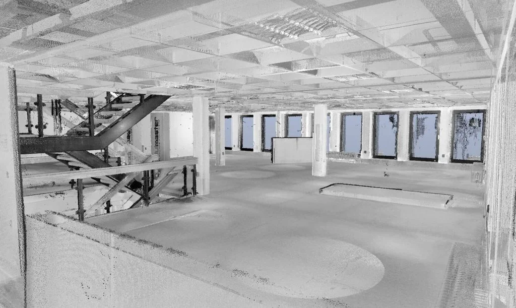
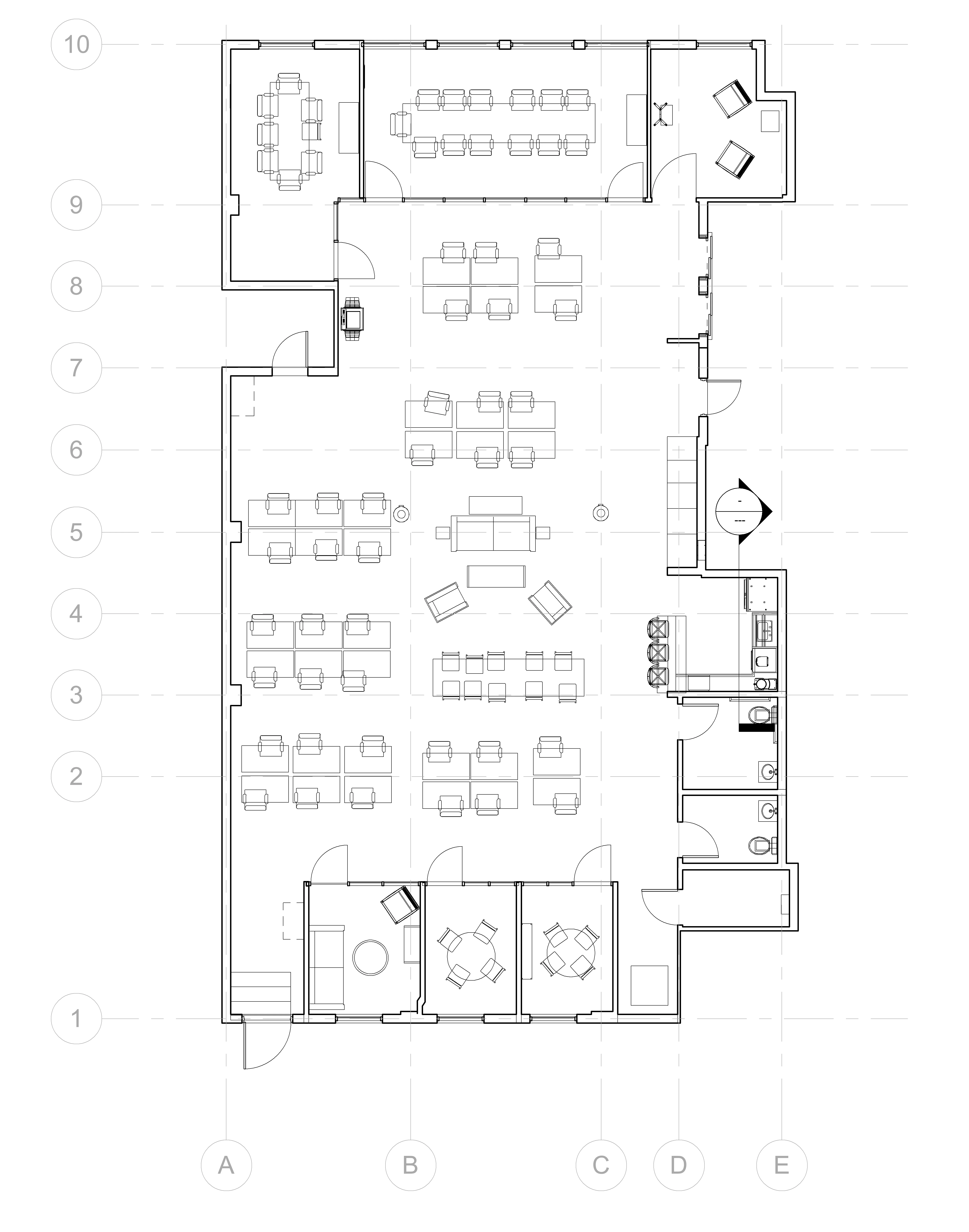
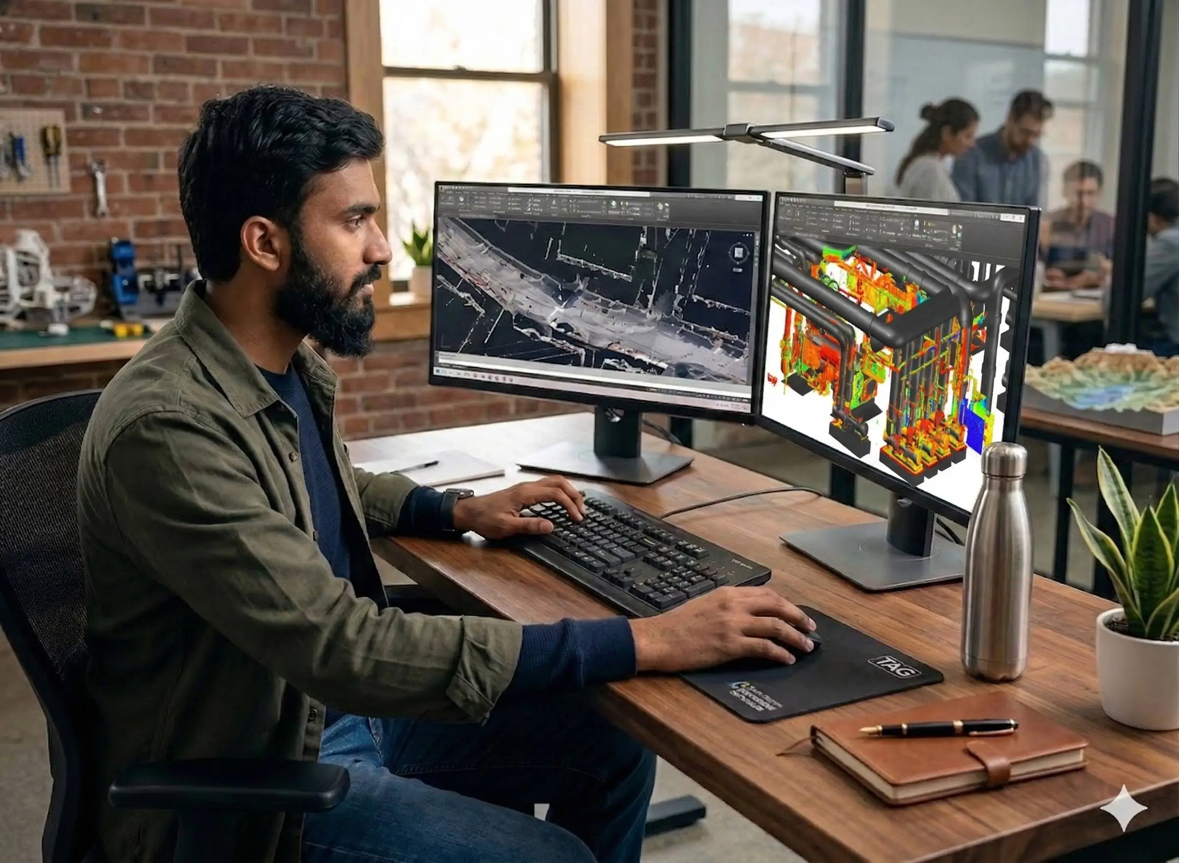
Al Warqa Survey Engineering delivers as-built surveys using total station, GNSS, and 3D laser scanning depending on the structure type and deliverable requirement. We produce DWG drawings, point clouds, and BIM models referenced to the approved coordinate system.
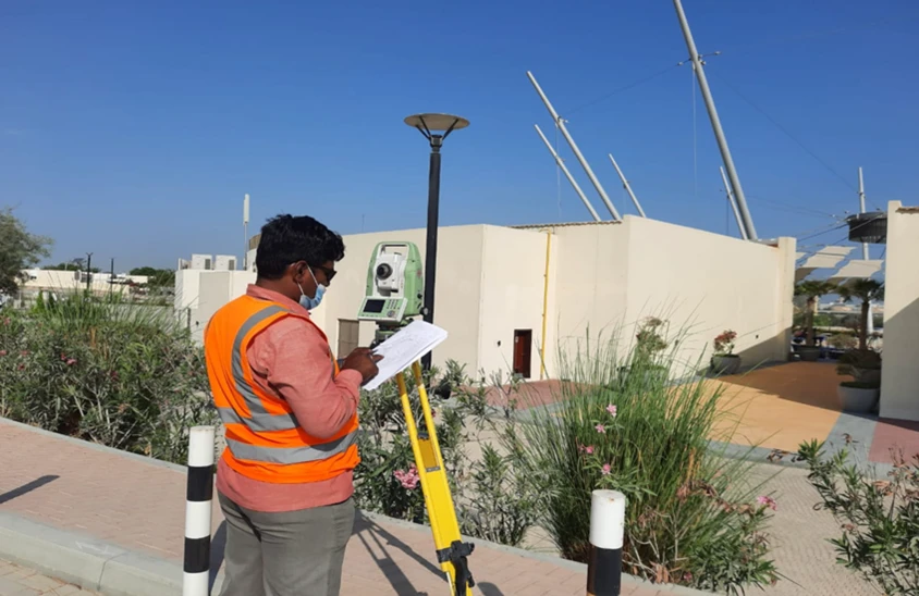
Our Methodology
Delivering excellence through a proven three-stage workflow
Method Selection
Choose between total station, GNSS, and laser scanning based on structure complexity and required deliverable.
As-Built Data Capture
Systematic survey of all constructed elements — positions, levels, dimensions, and features as built.
Drawing & Model Production
Generate authority-ready as-built drawings, point clouds, and deviation reports.
Applications
Industry sectors and use cases we serve
Completion Certificate Submissions
Authority-compliant as-built drawings for DM and TRAKHEES NOC
Renovation & Fit-Out Projects
Accurate existing conditions record as the base for new design
Infrastructure & Utilities
As-built recording of roads, drainage, and buried services
Structural & Façade Documentation
Laser scan as-built of complex structures and building envelopes
Deliverables
What you receive at the end of every project
- As-built survey planDWG / DXF — authority compliant
- Floor plans, elevations, and sections
- 3D point cloud datasetE57 / LAS — if laser scan method used
- Deviation report vs approved drawings
- Survey accuracy statement
Technology Stack
Industry-leading equipment and software
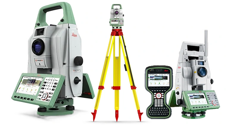
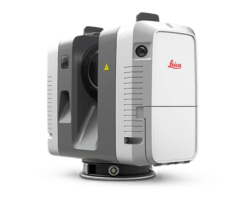
Leica TS16 Total Station
Advanced surveying technology for precision data capture and analysis.
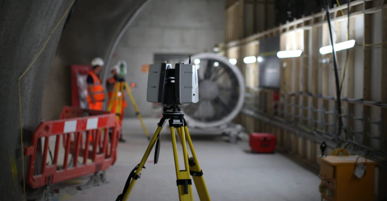
Leica RTC360 Scanner
Advanced surveying technology for precision data capture and analysis.
AutoCAD & Civil 3D
Advanced surveying technology for precision data capture and analysis.
Frequently Asked Questions
Dubai Municipality and most UAE authorities require an as-built survey as part of the completion certificate process — confirming that the constructed building matches the approved permit drawings. It is also required after any structural modifications.
A topographic survey captures the existing terrain and features before design and construction. An as-built survey captures what was constructed after completion — comparing the built structure against the approved design drawings.
Yes. We cover road as-builts, drainage networks, utility corridors, and large mixed-use developments. Drone photogrammetry and mobile LiDAR are used for large-area as-built capture.
Yes. All as-built drawings are produced in AutoCAD DWG format to the Dubai Local Coordinate System, with the surveyor name, licence number, and company stamp as required by Dubai Municipality.
Have more questions?
Our team of experts is ready to assist you with your specific project requirements across the GCC.
Related Services
Explore our other professional surveying solutions
3D Laser Scanning
High-precision terrestrial laser scanning for detailed 3D capture of buildings, structures, and industrial environments.
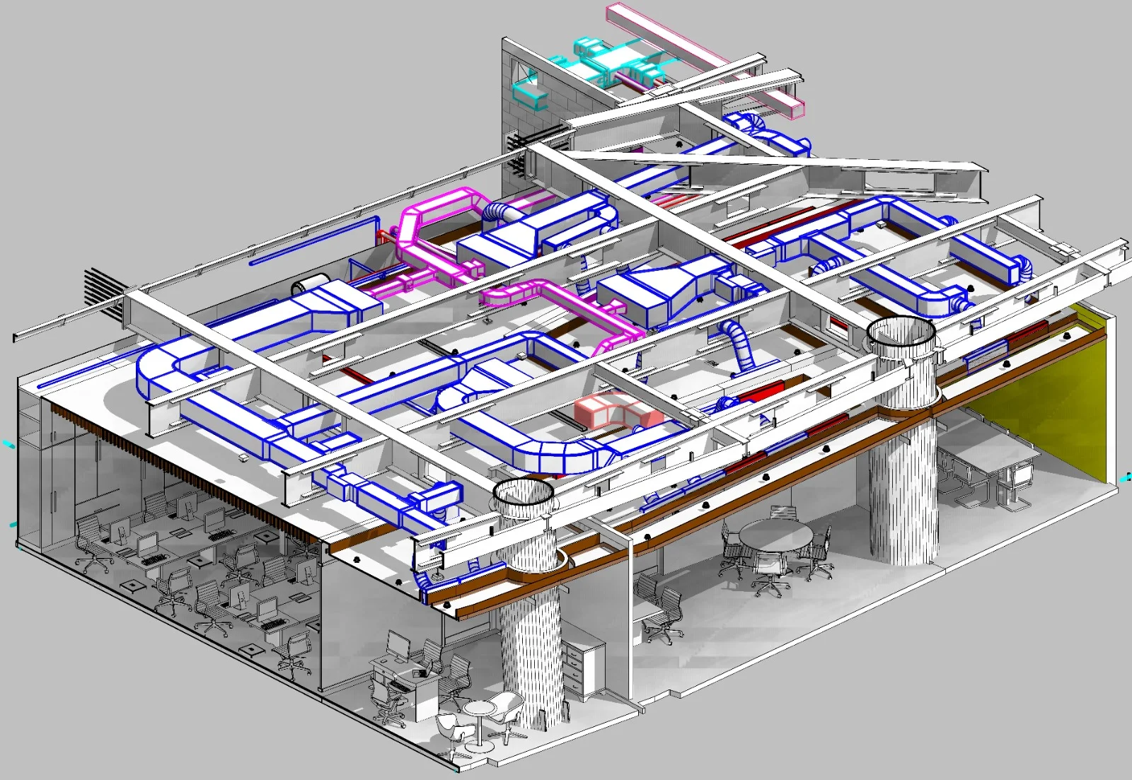
BIM Modeling Dubai
Professional BIM modeling services in Dubai and the UAE. Scan-to-BIM, Revit modeling, and LOD 100–500 models from point cloud and survey data for construction, renovation, and facility management projects.
Land Survey Dubai
Professional land survey services in Dubai for construction, development, and infrastructure projects. Authority-approved, ISO-certified, 25+ years experience.
Contact us directly
Reach our team instantly via WhatsApp, phone, or email.
Also available in Riyadh