3D Modelling Services
High-accuracy 3D modelling of terrain, assets, structures, and environments from point cloud, photogrammetry, and survey data.
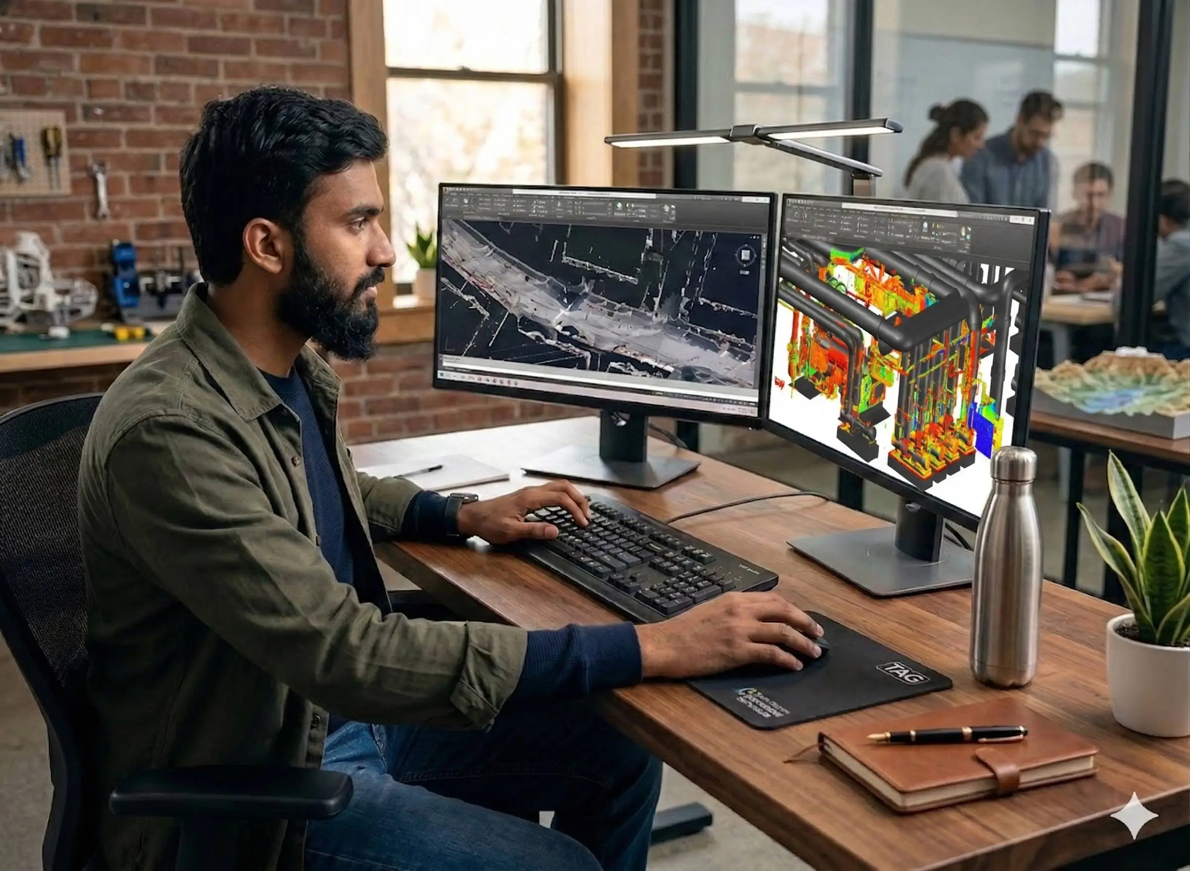
Reality-Captured 3D Models for Design, Visualisation, and Analysis
3D modelling converts spatial data — point clouds, photogrammetry outputs, UAV imagery, and survey measurements — into accurate three-dimensional geometric models of real-world terrain, assets, structures, and environments. Unlike BIM, which embeds structured metadata for building lifecycle workflows, 3D modelling focuses on reality-accurate geometry suitable for visualisation, analysis, design integration, and simulation.
Our team produces reality-captured 3D models across construction, infrastructure, industrial, heritage, and real-estate projects — delivered in formats compatible with design, rendering, GIS, and gaming platforms used across the UAE and Saudi Arabia.
Our Methodology
Delivering excellence through a proven three-stage workflow
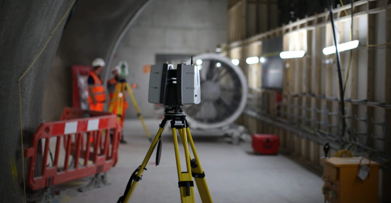
Data Acquisition & Integration
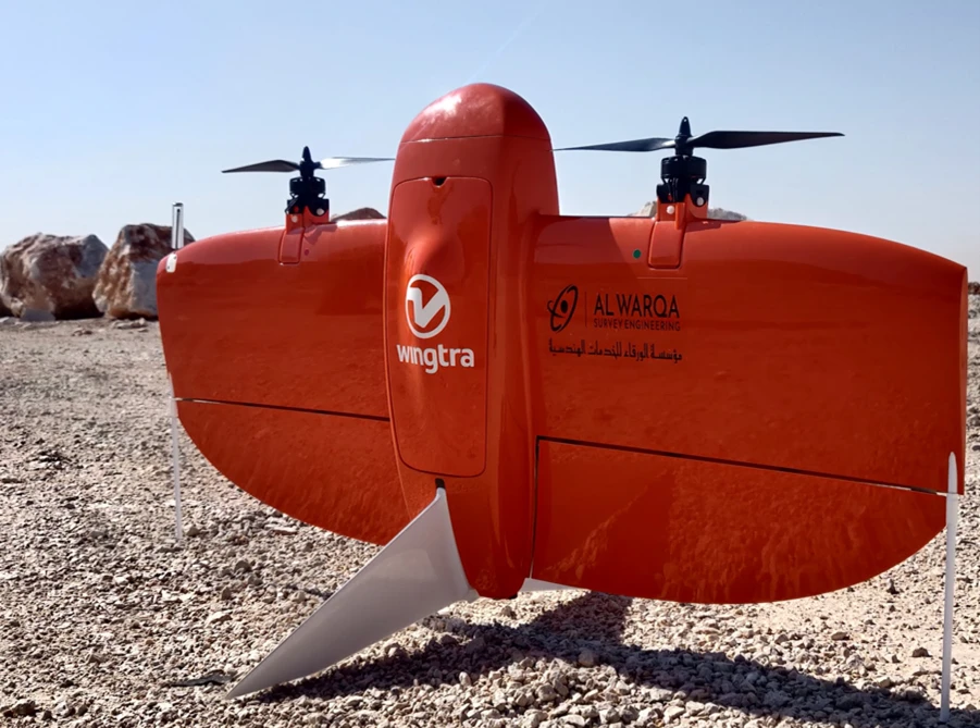
Field capture via 3D laser scanning, drone photogrammetry, or conventional survey, followed by registration and alignment of multi-source datasets.
Model Construction & Texturing
Generation of mesh surfaces, solid models, and geometric outputs with material/texture assignment where required.
Validation & Delivery
Dimensional QA against source data, format conversion, and delivery in client-specified formats for design or analysis use.
Applications
Industry sectors and use cases we serve
Existing Building & Asset Modelling
Produces accurate 3D geometry of existing structures from scan data
Terrain & Site 3D Models
Generates 3D surfaces from UAV and topographic survey data
Industrial Plant Modelling
Creates geometric models of pipework, equipment, and industrial environments
Visualisation & Rendering
Supports architectural rendering, client presentations, and project marketing
Heritage & Landmark Documentation
Captures cultural and architectural sites with reality-accurate detail
Deliverables
What you receive at the end of every project
- Textured 3D mesh modelsOBJ / FBX / GLB
- Point cloud-based 3D geometryRCP / E57 / LAS
- Digital terrain and surface modelsDTM / DSM
- 3D CAD modelsDWG / IFC
- Asset-level geometric models
- Rendered visualisations and walkthroughs
- Model accuracy and QA report
Technology Stack
Industry-leading equipment and software
Autodesk ReCap Pro
Advanced surveying technology for precision data capture and analysis.

Agisoft Metashape
Advanced surveying technology for precision data capture and analysis.
Pix4Dmapper
Advanced surveying technology for precision data capture and analysis.
AutoCAD
Advanced surveying technology for precision data capture and analysis.
CloudCompare
Advanced surveying technology for precision data capture and analysis.
Frequently Asked Questions
3D modelling focuses on geometry — the shape and visual form of assets, terrain, or structures. BIM adds structured metadata (materials, schedules, lifecycle data) on top of that geometry. Many projects need both, but they are separate deliverables.
Model accuracy depends on the source data. Laser scanning delivers 2–6mm geometric accuracy. Drone photogrammetry delivers 2–5cm. We match the source to your accuracy requirement.
We deliver OBJ, FBX, GLB, IFC, DWG, RVT, LAS, E57, and RCP as standard. Custom formats are available on request.
Yes. We have delivered reality-captured 3D models for cultural and heritage sites across the UAE. Our scanning workflows handle complex ornamentation and detailed architectural features.
Have more questions?
Our team of experts is ready to assist you with your specific project requirements across the GCC.
Related Services
Explore our other professional surveying solutions
3D Laser Scanning
High-precision terrestrial laser scanning for detailed 3D capture of buildings, structures, and industrial environments.
BIM Modeling
Creation of structured Building Information Models from survey, LiDAR, and 3D scan data.
Aerial Drone Mapping
High-resolution aerial data acquisition for terrain modeling, volumetric analysis, and site documentation.
Contact us directly
Reach our team instantly via WhatsApp, phone, or email.
Also available in Riyadh