Topographic Survey Saudi Arabia
Professional topographic survey services across Saudi Arabia. GNSS, total station, and drone methods for Vision 2030 developments, NEOM, road corridors, and infrastructure projects.
Topographic Survey Services in Saudi Arabia
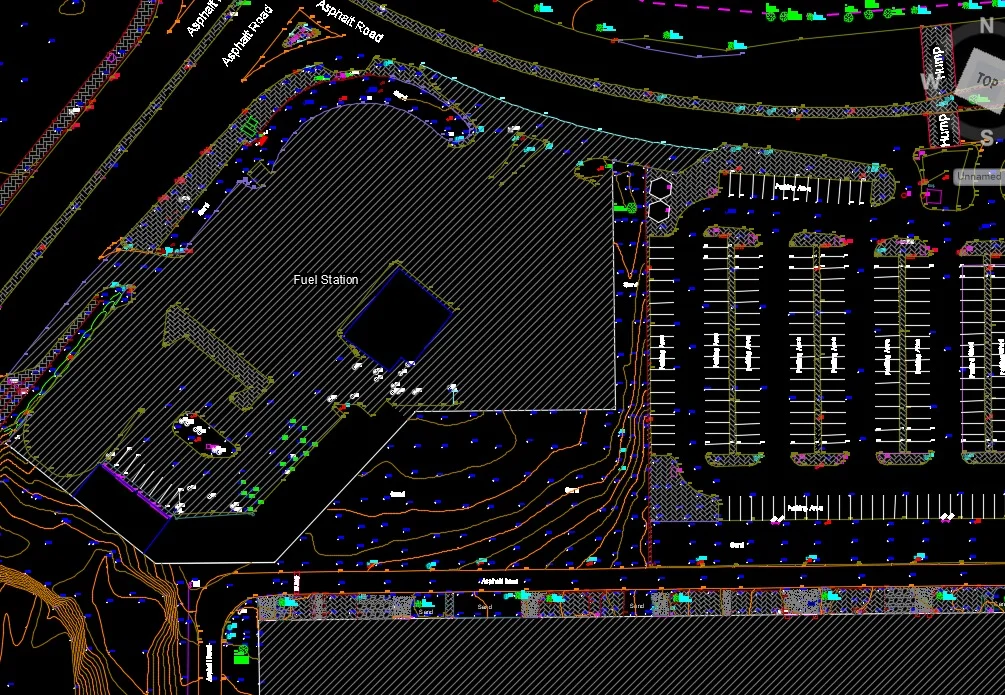
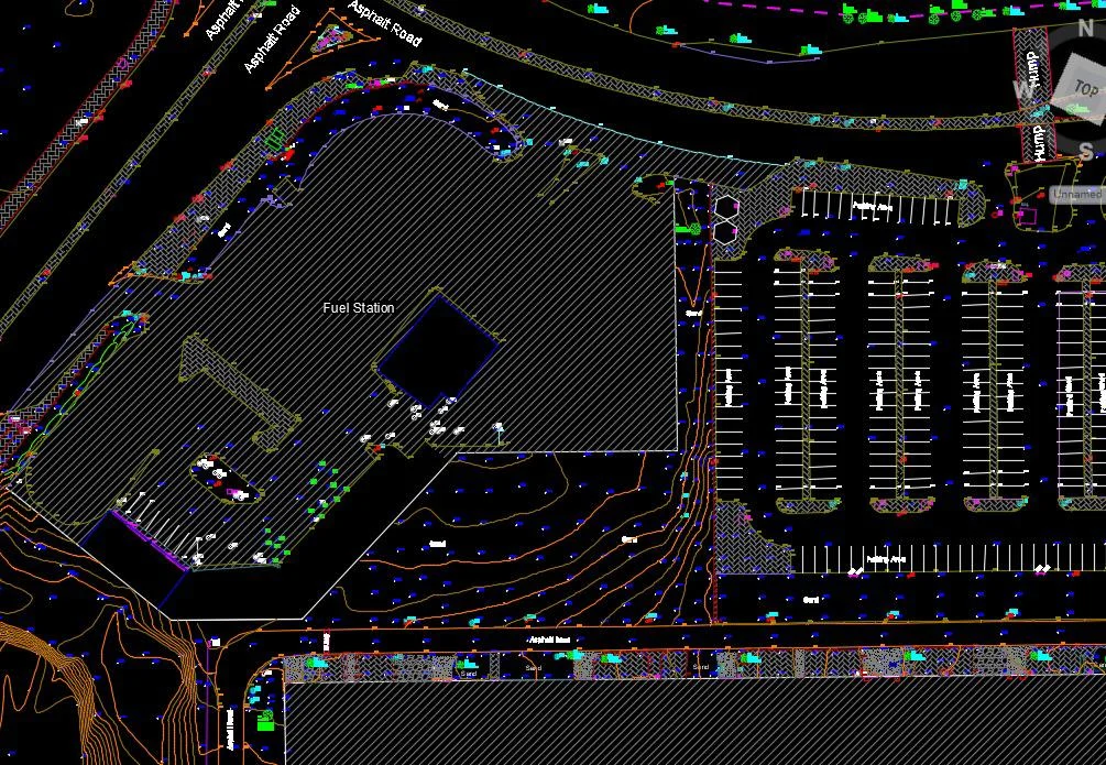
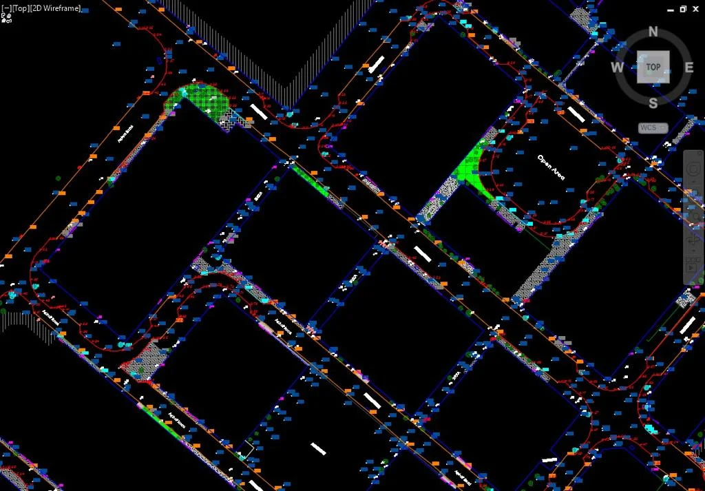
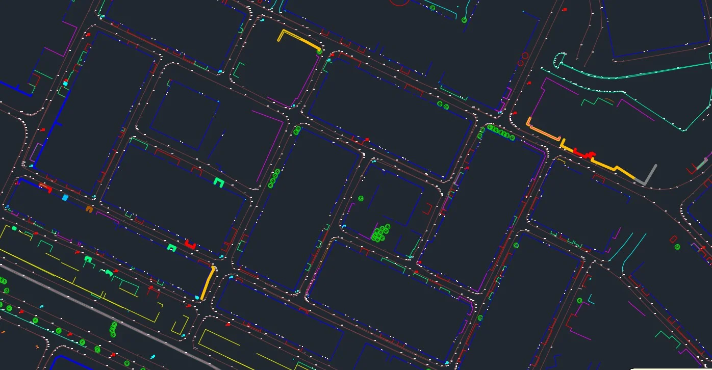
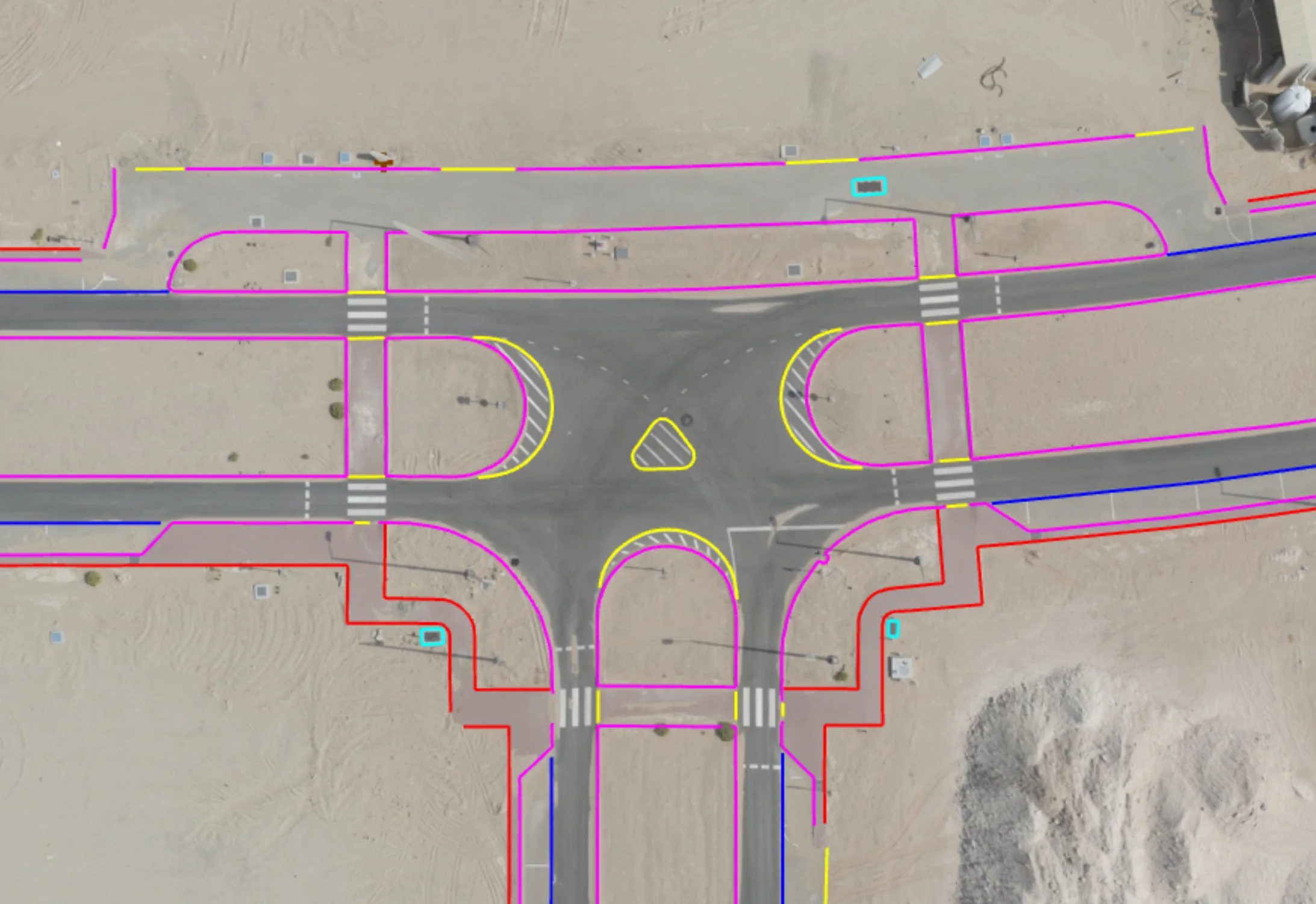
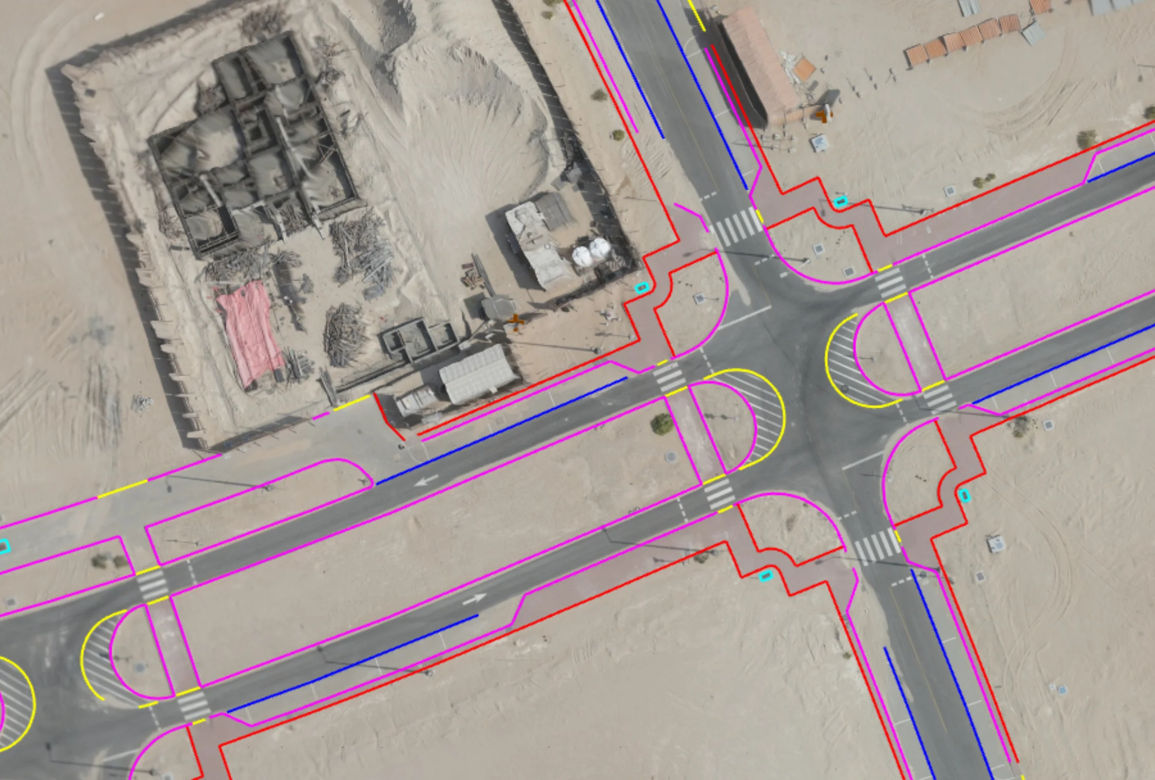
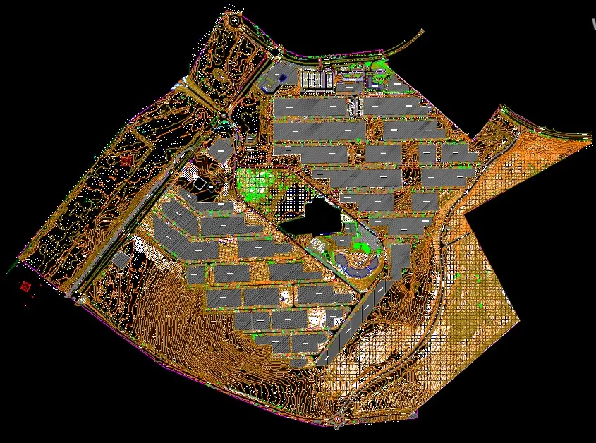
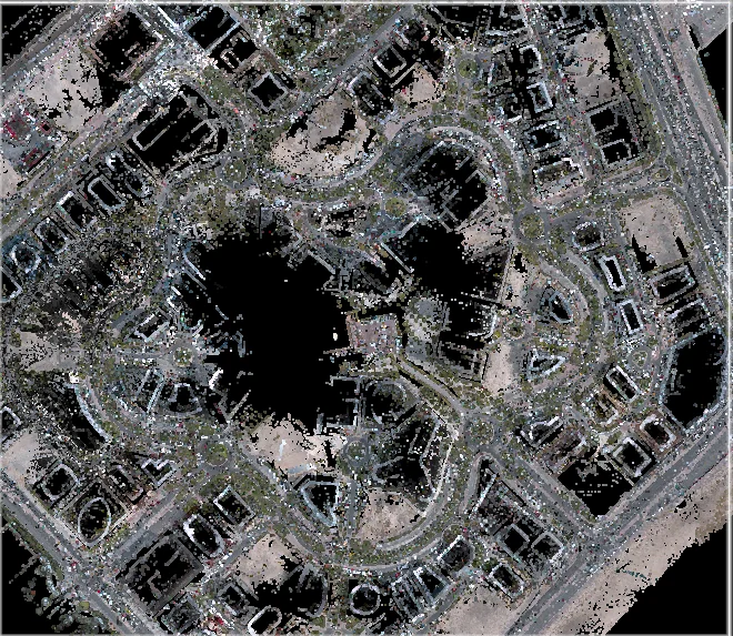
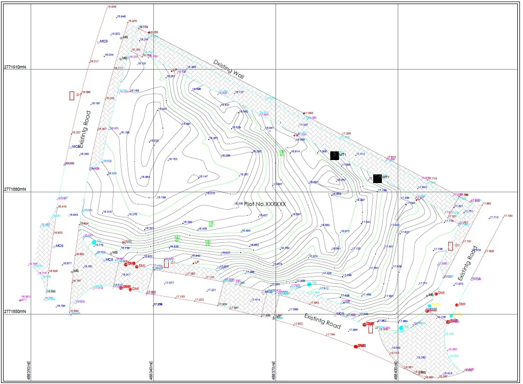
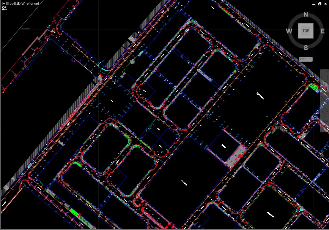
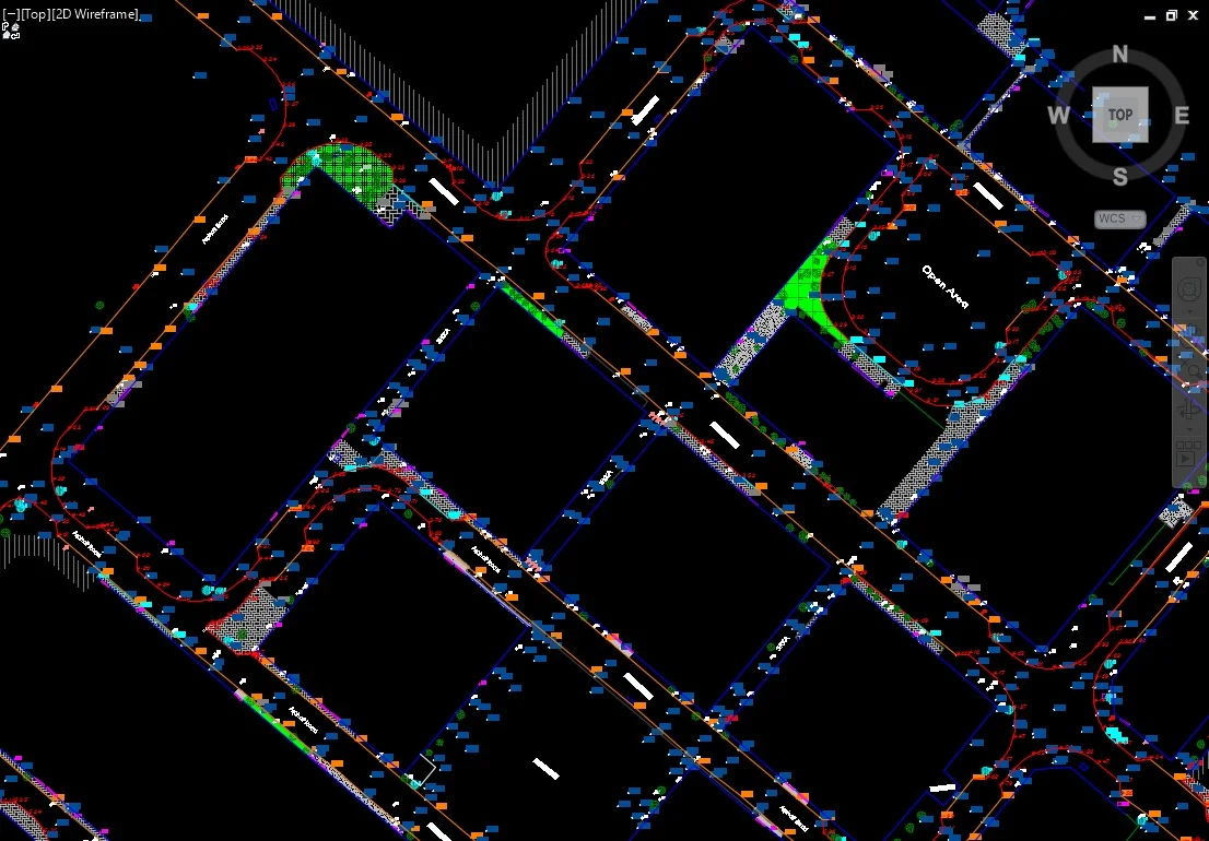
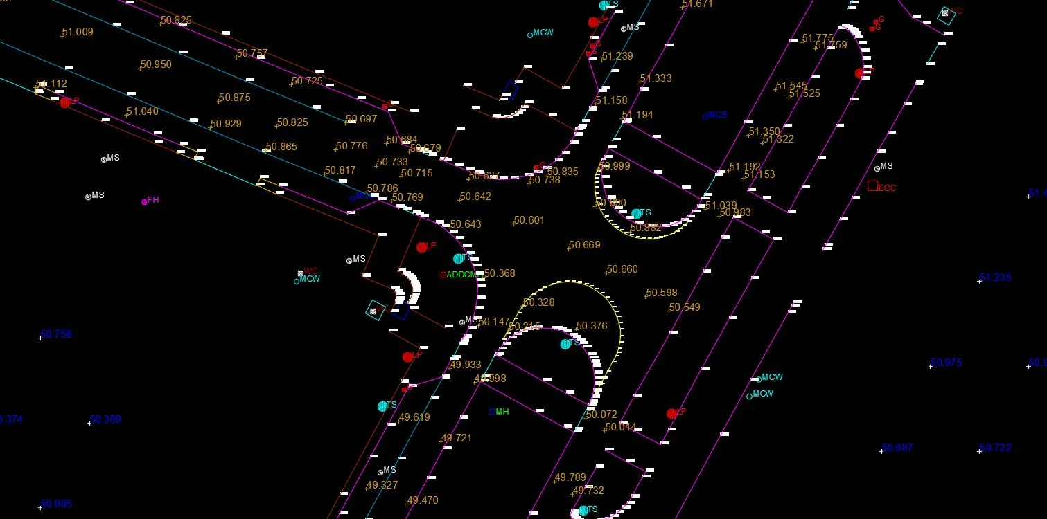
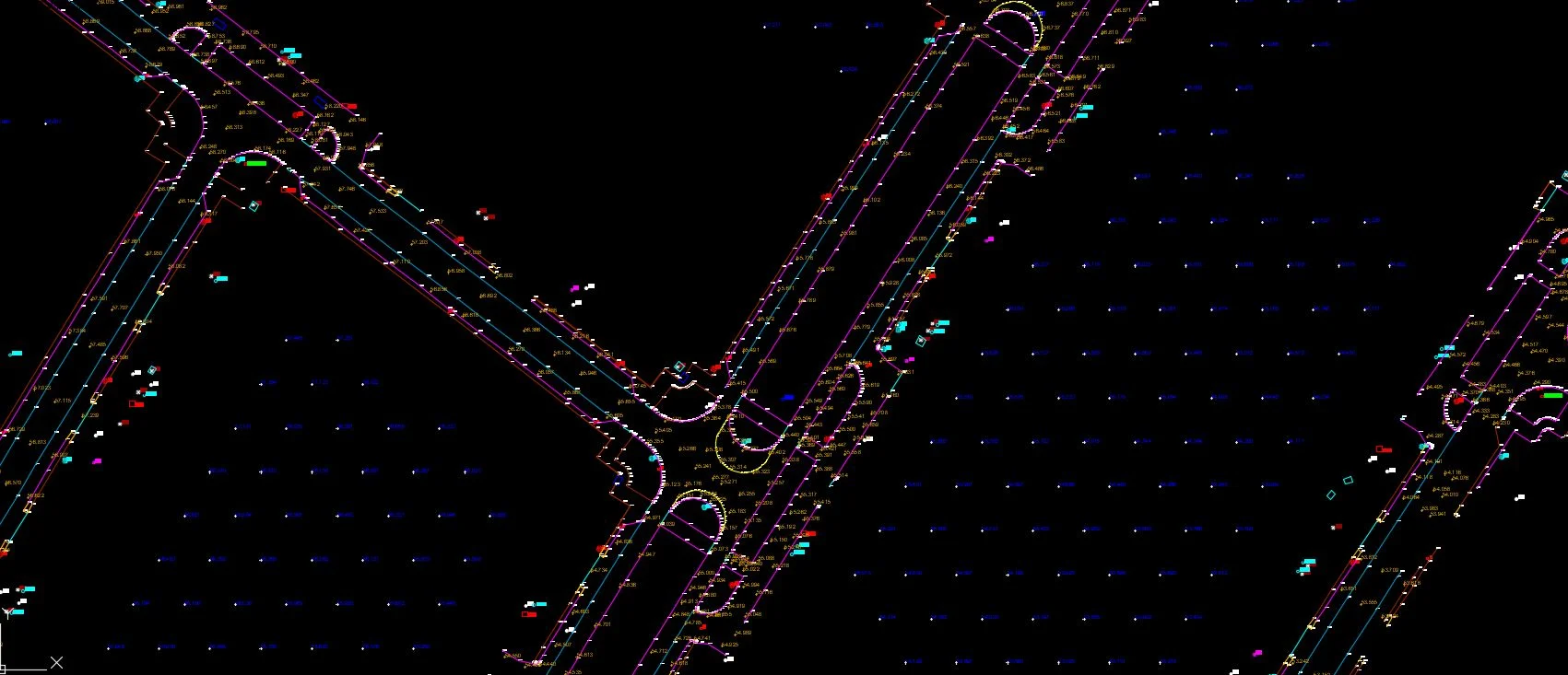
A topographic survey captures the three-dimensional shape of a site — ground levels, contours, existing structures, roads, utilities, and vegetation — producing the base drawing used by Saudi engineers and architects for all design and planning work.
Al Warqa Survey Engineering delivers topographic surveys across Saudi Arabia using GNSS RTK, robotic total stations, and GACA-approved drones. Surveys are referenced to the Saudi National Coordinate System (SNCS) and delivered in DWG format compatible with Saudi authority submission requirements for residential, commercial, and infrastructure projects.
Our Methodology
Delivering excellence through a proven three-stage workflow
SNCS Control Establishment
Set up horizontal and vertical control referenced to Saudi National Coordinate System for consistent positioning.
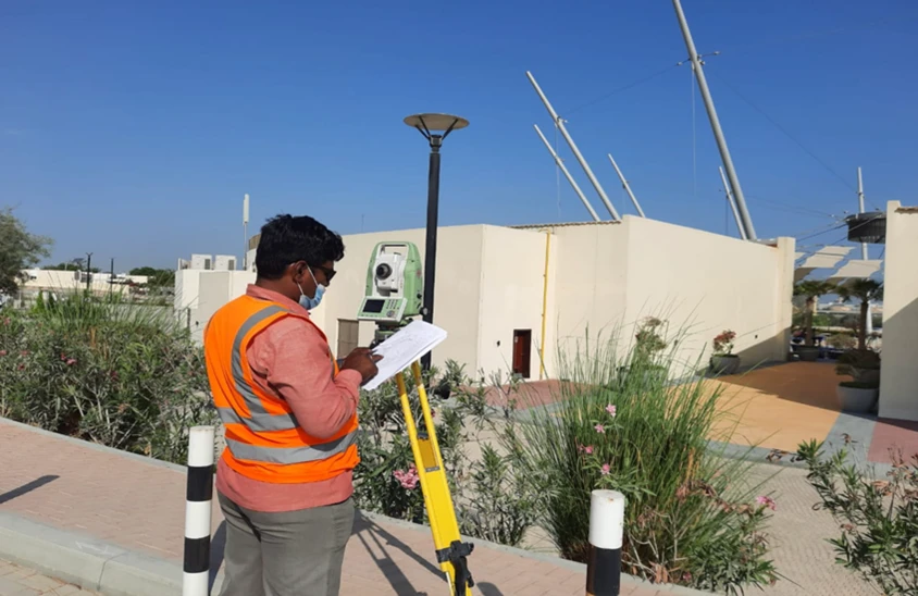
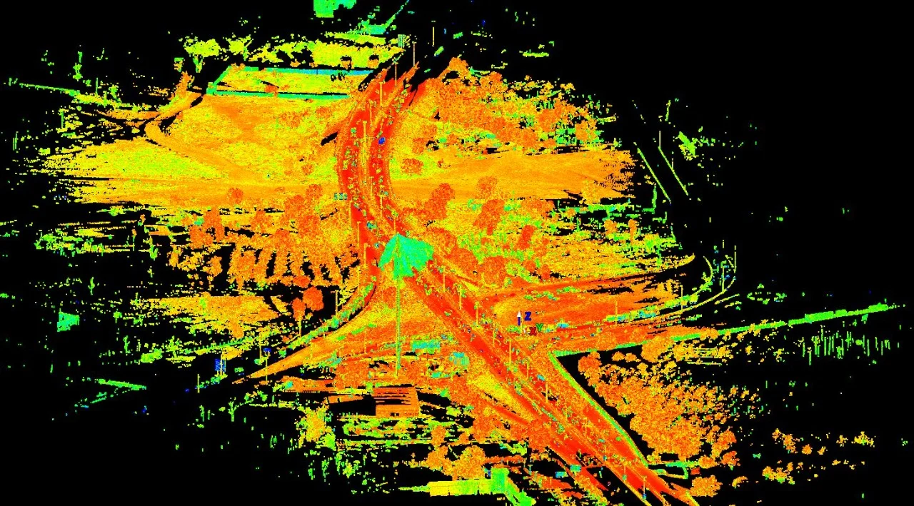
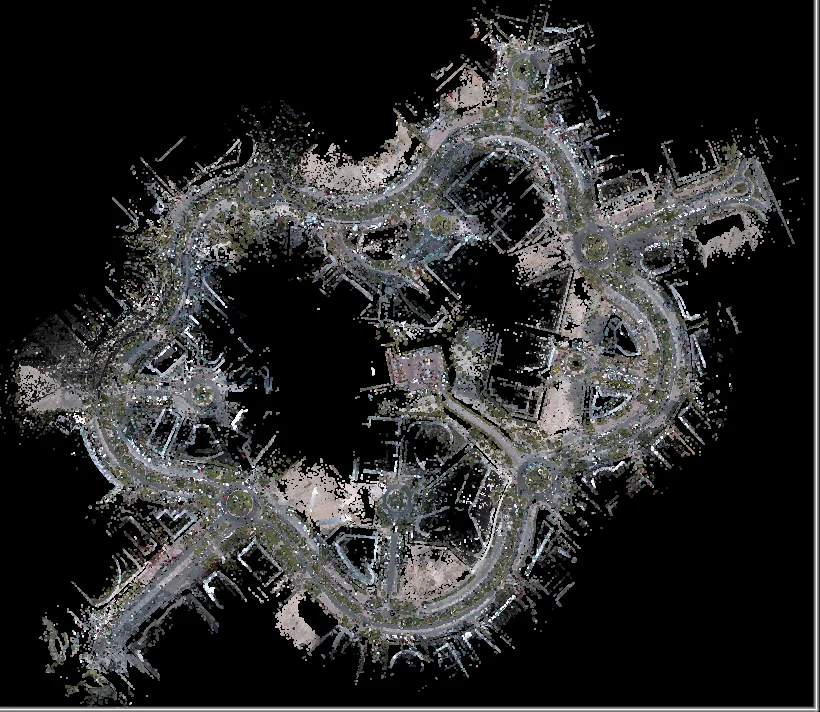
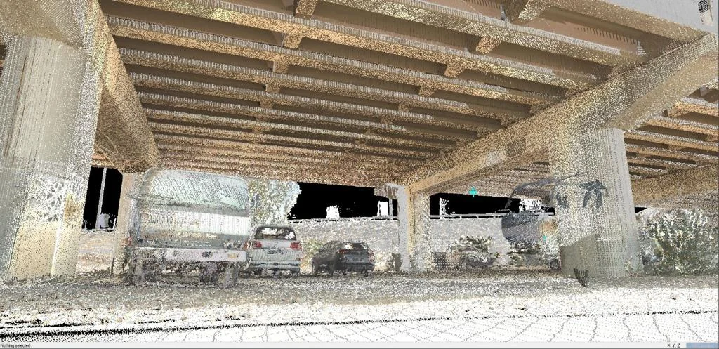
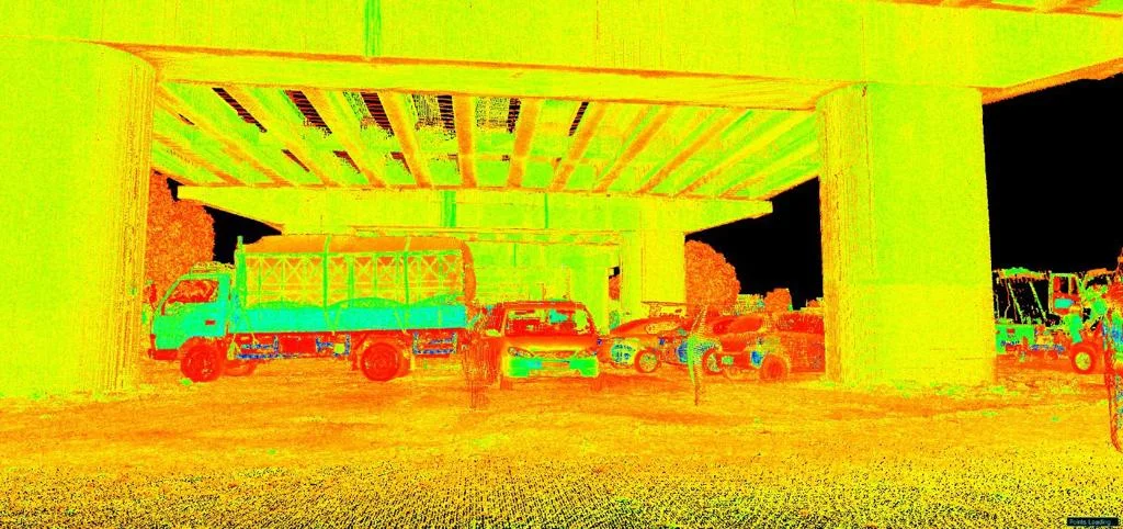
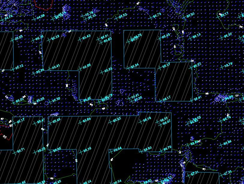
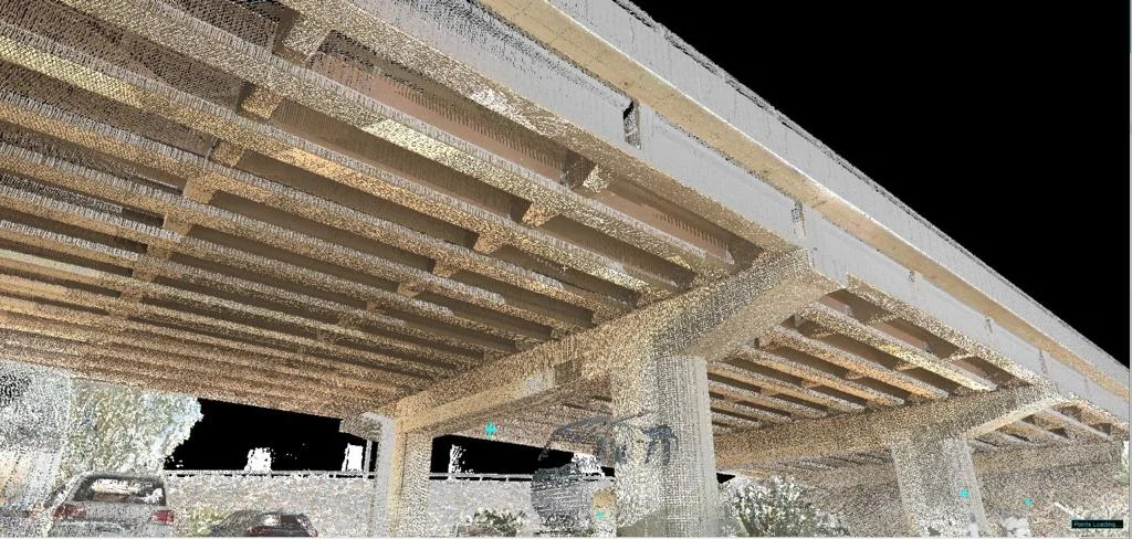
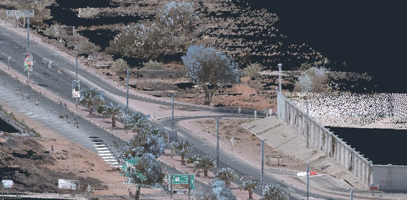
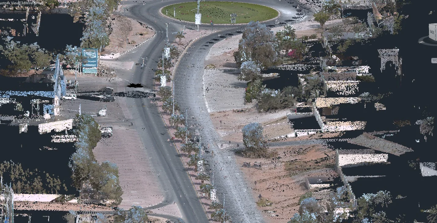
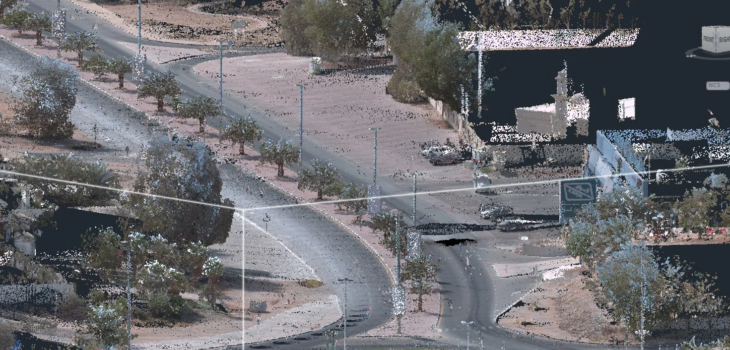
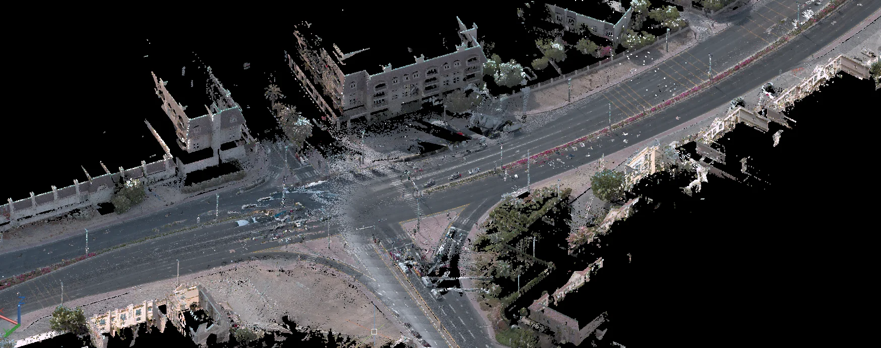
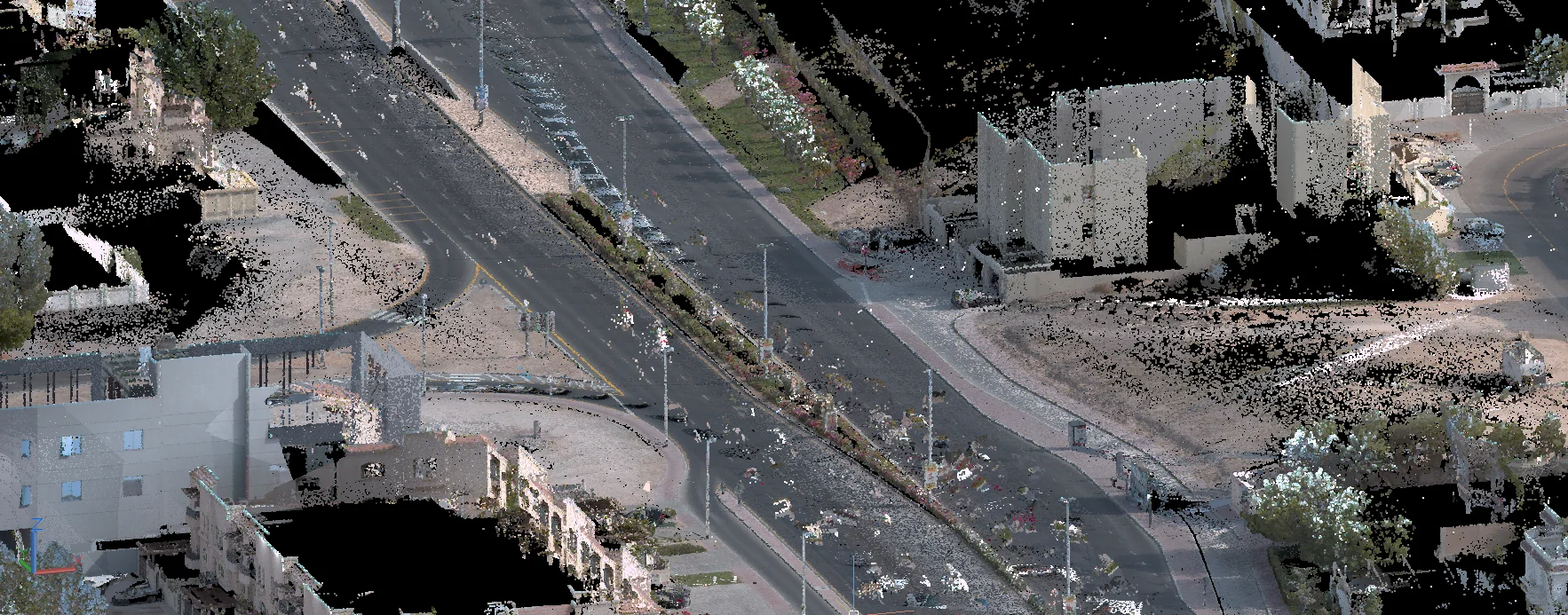
Field Survey & Drone Coverage
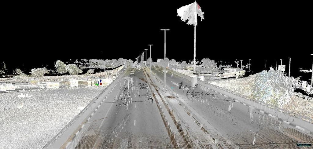
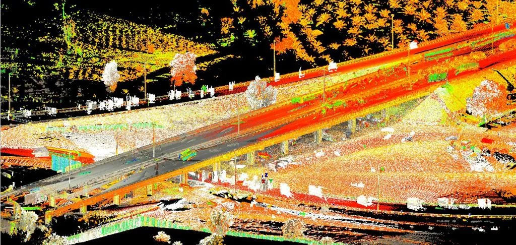
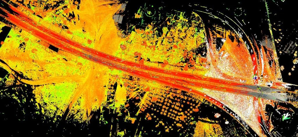
Ground GNSS and total station for detail accuracy; drone photogrammetry for large-area efficiency.
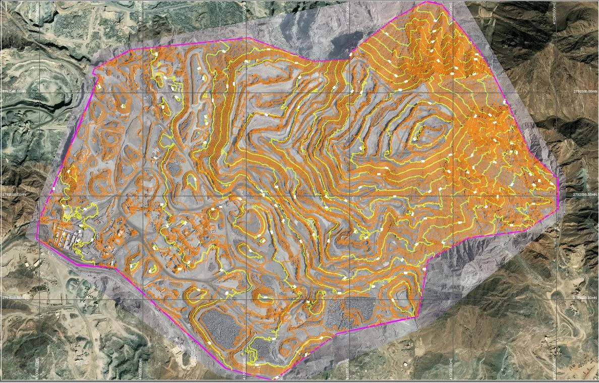
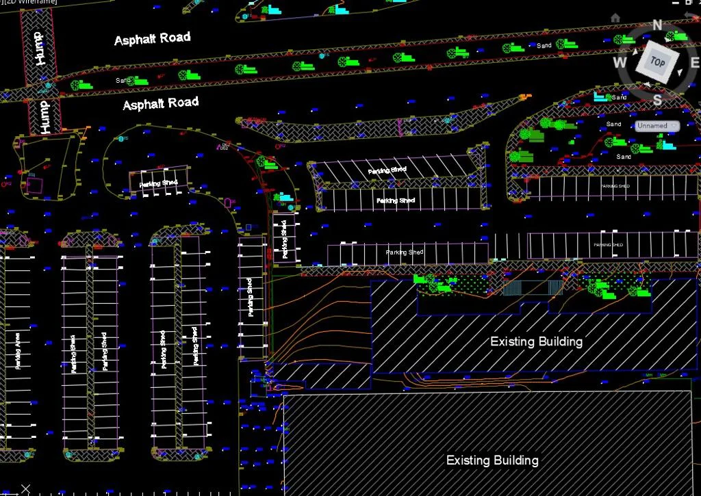
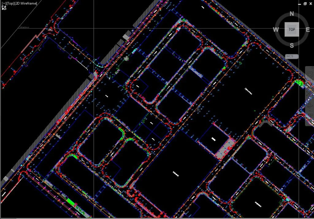
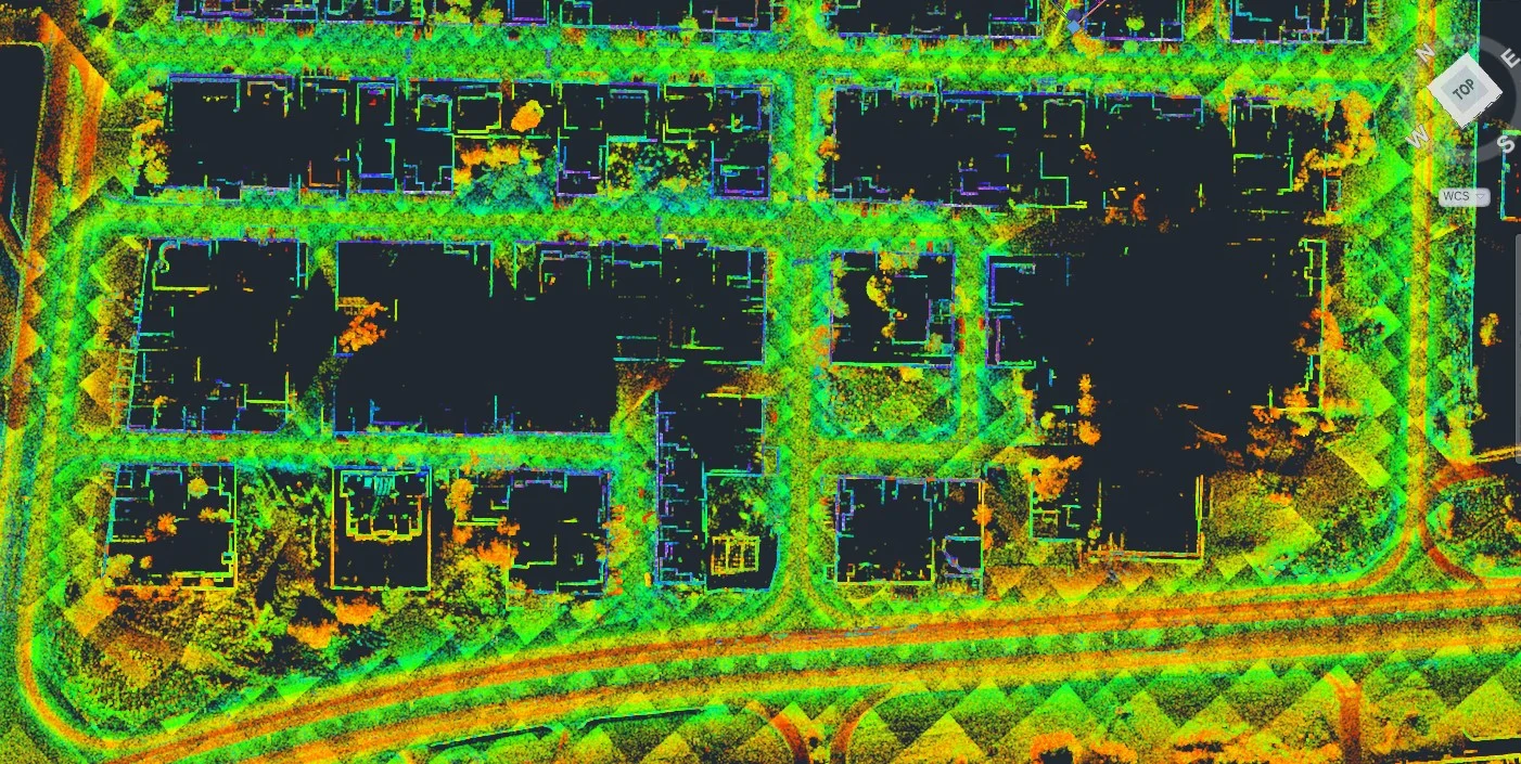
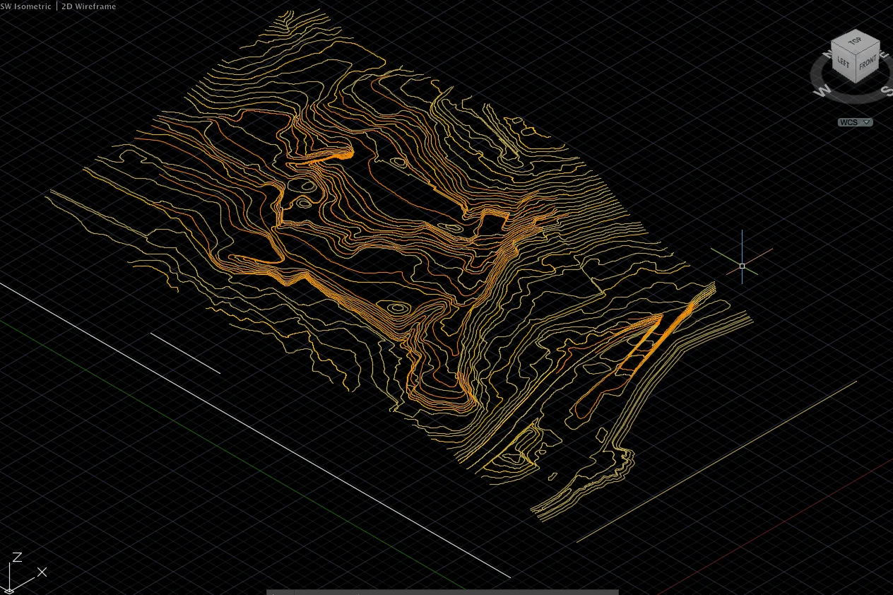
Topo Plan & DTM Production
Process field data into topographic plans, contour maps, and DTM in Saudi authority-required formats.
Applications
Industry sectors and use cases we serve
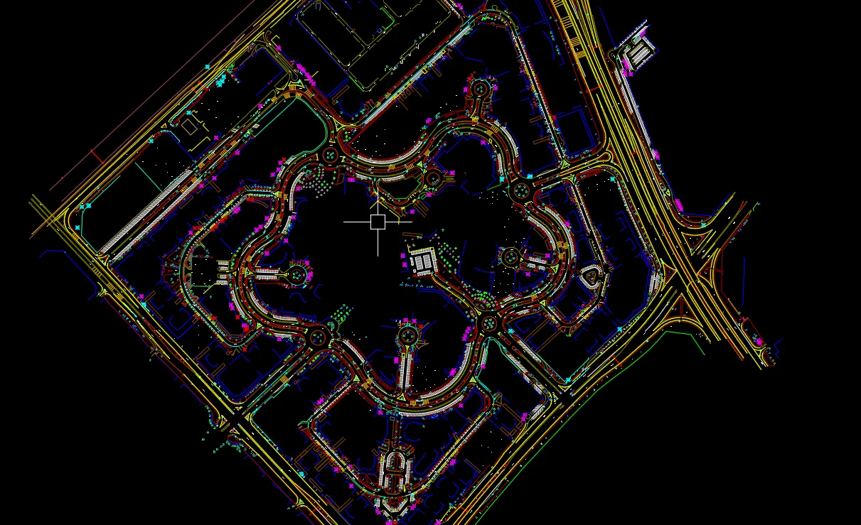
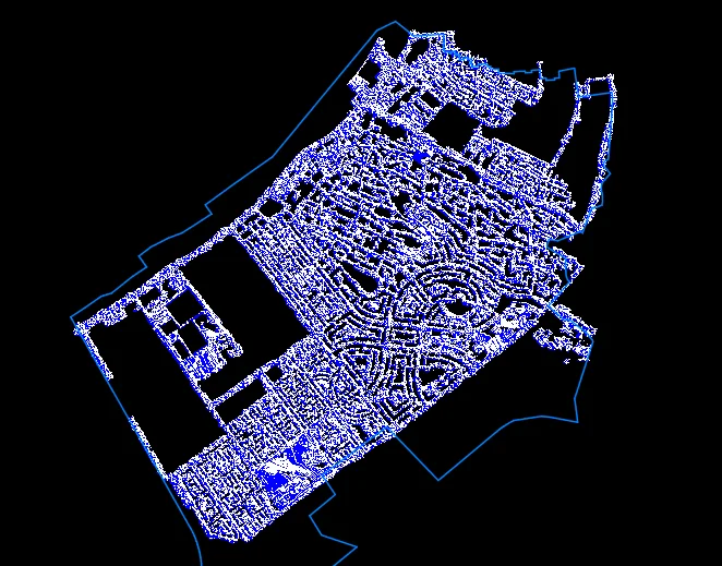
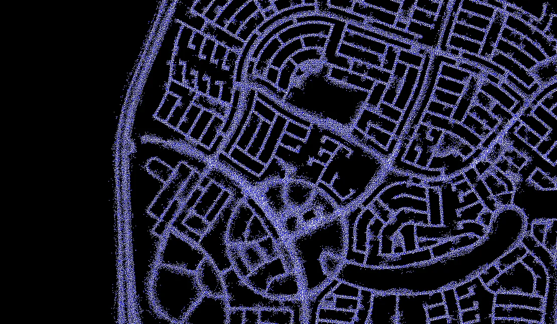
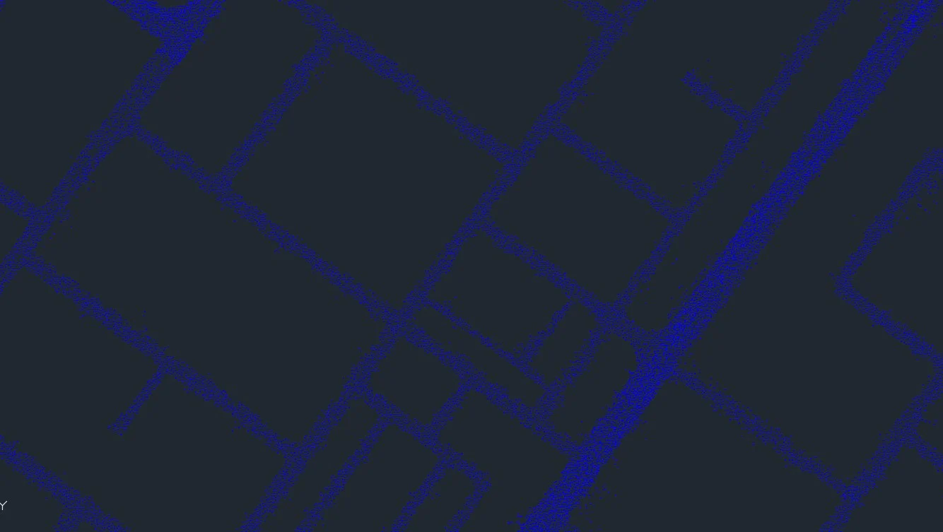
NEOM & Giga-Project Surveys
Large-scale terrain capture for master development design and planning
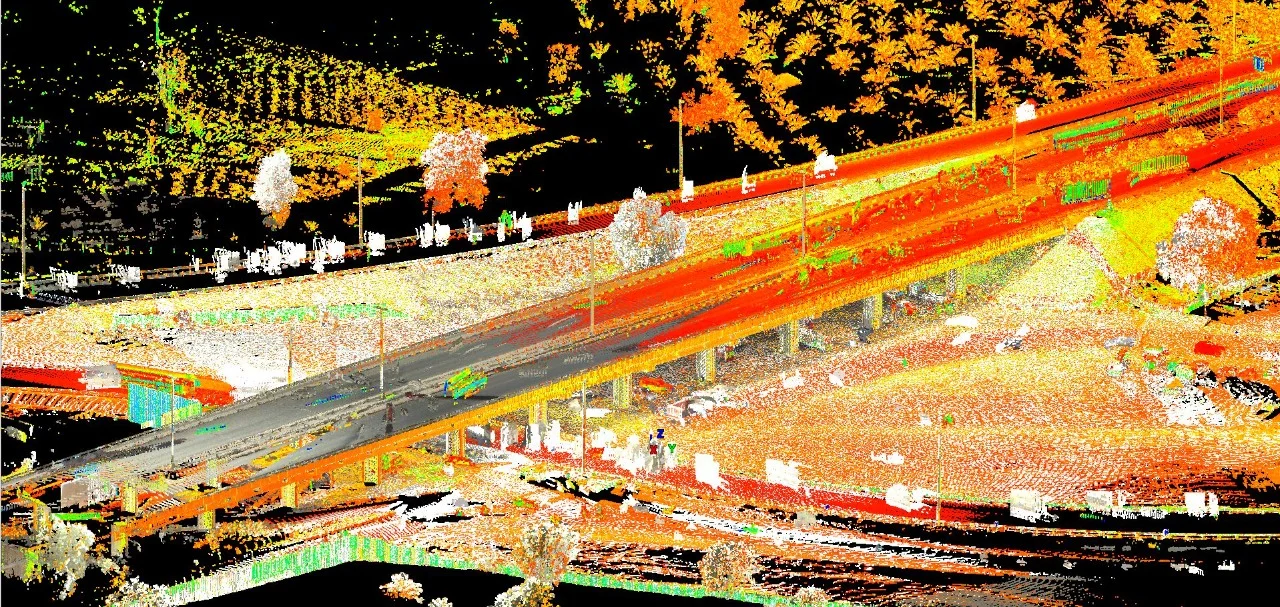
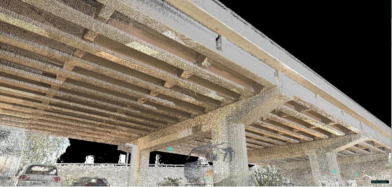
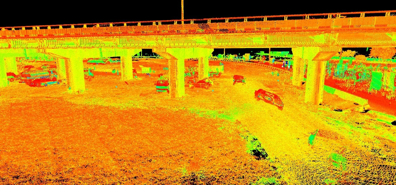
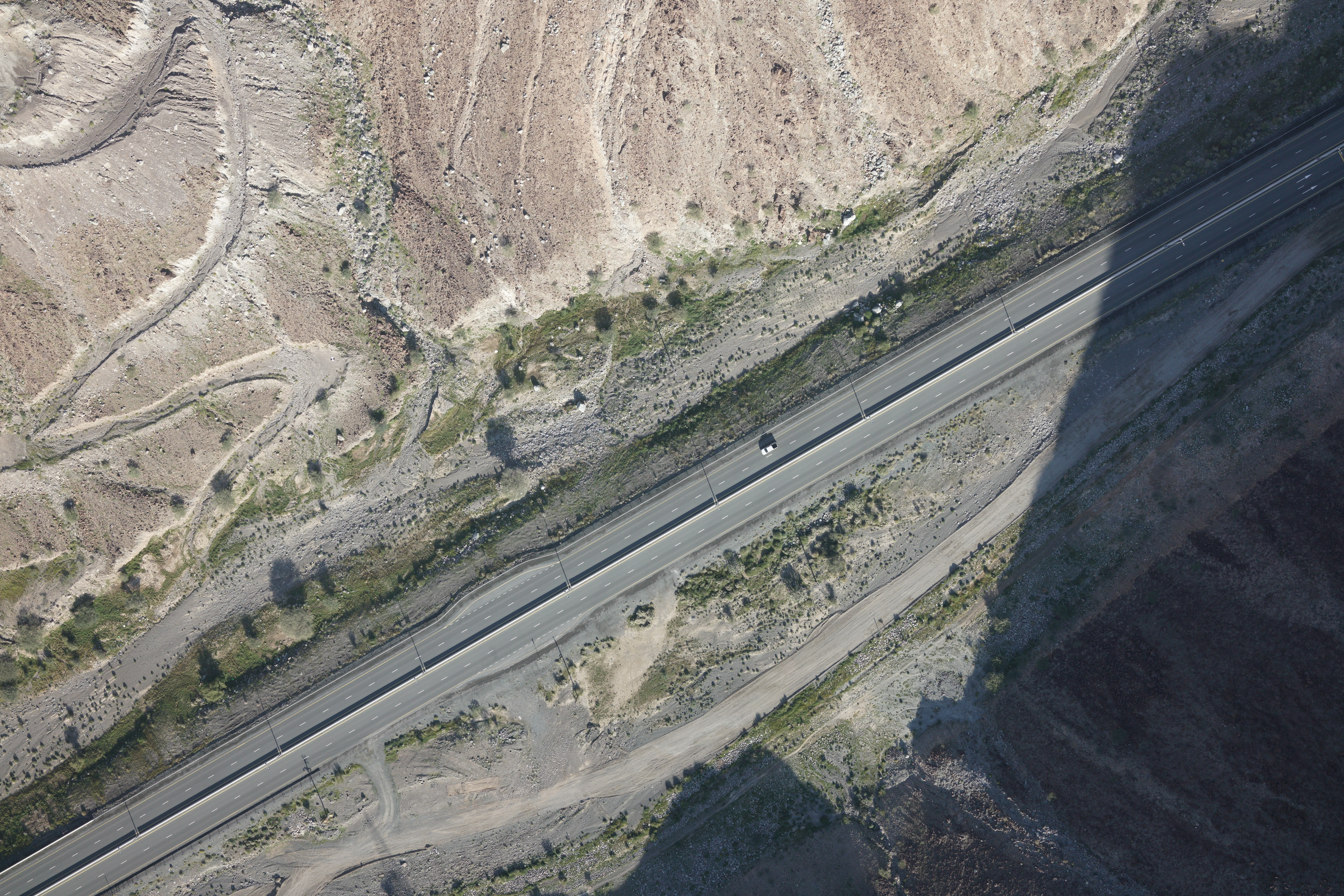
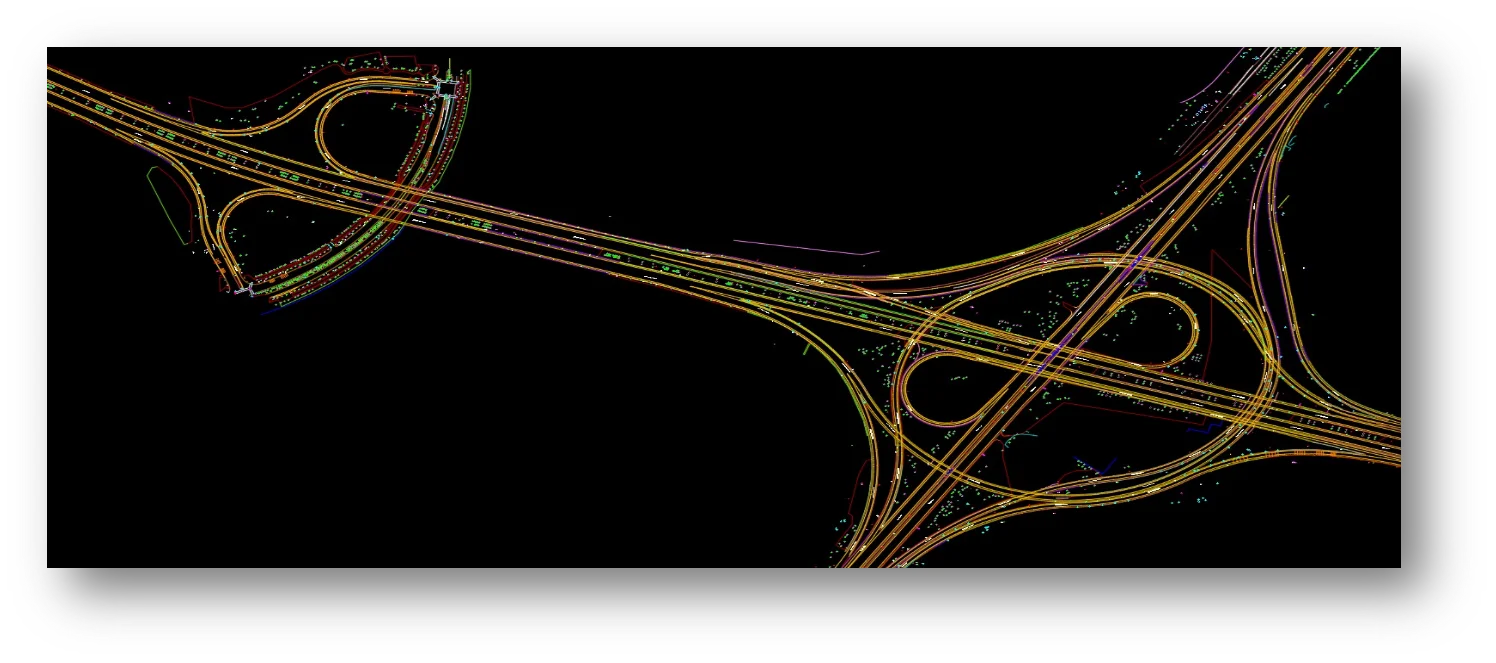
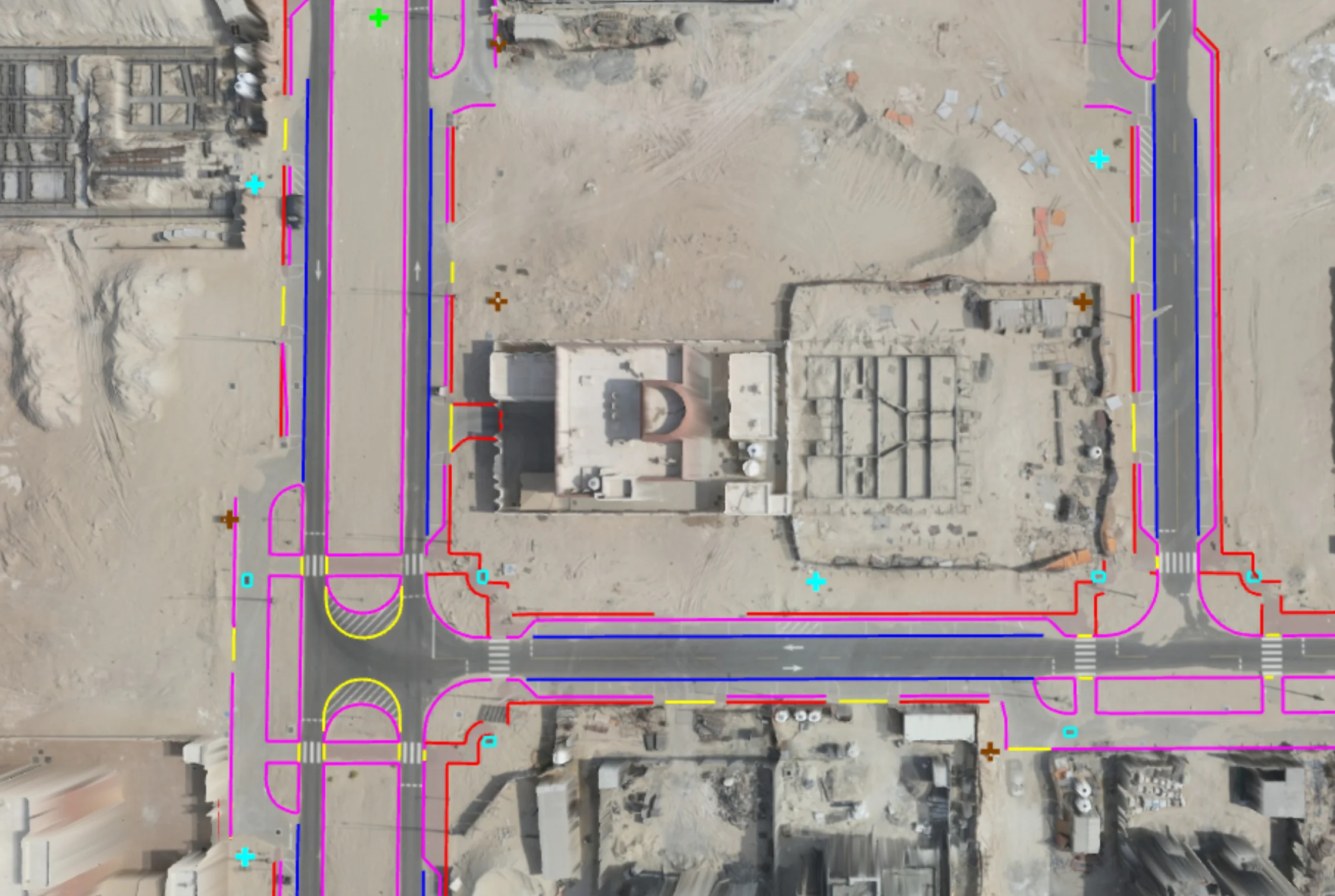
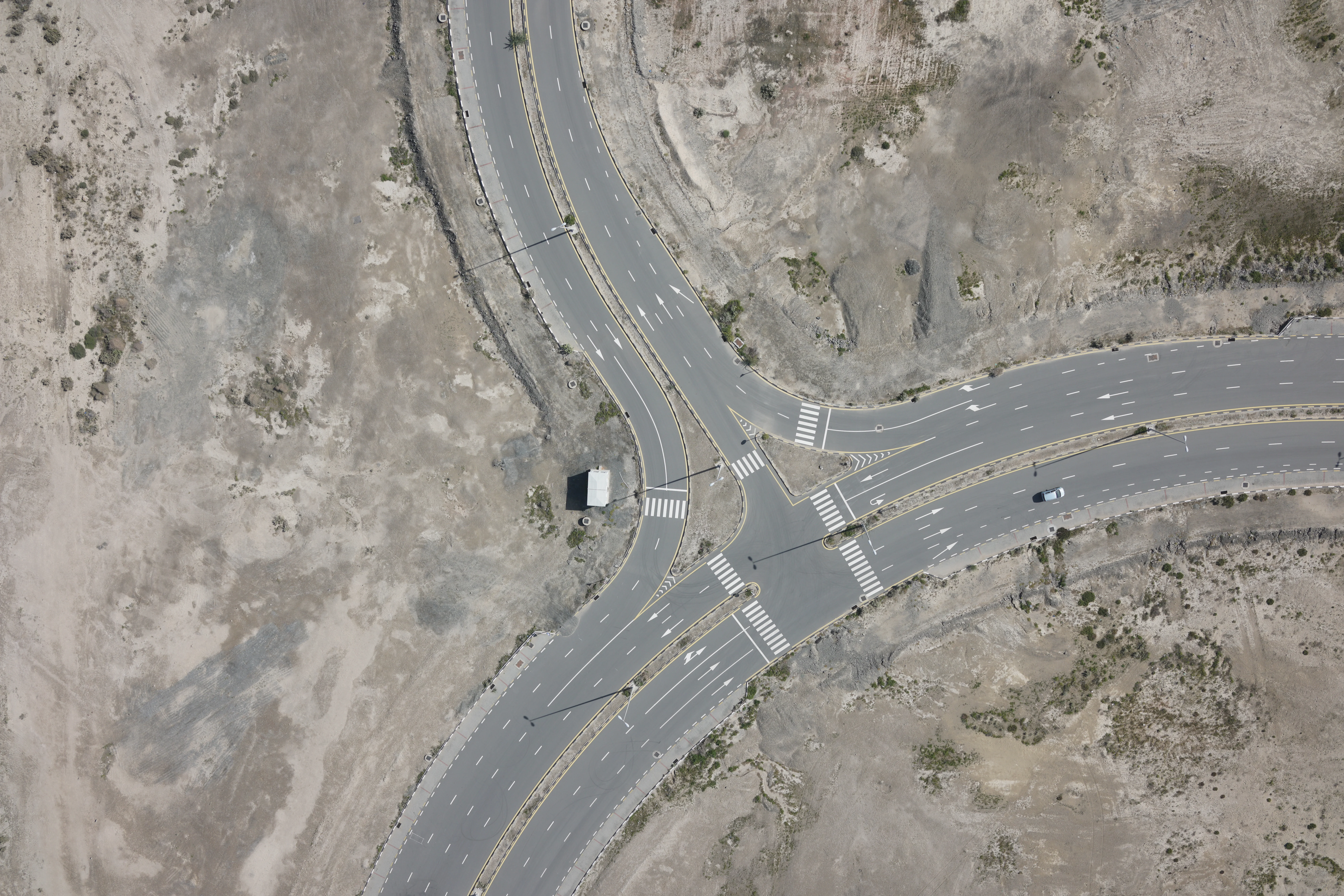
Road & Infrastructure Design
Corridor topographic surveys for road, railway, and utility design
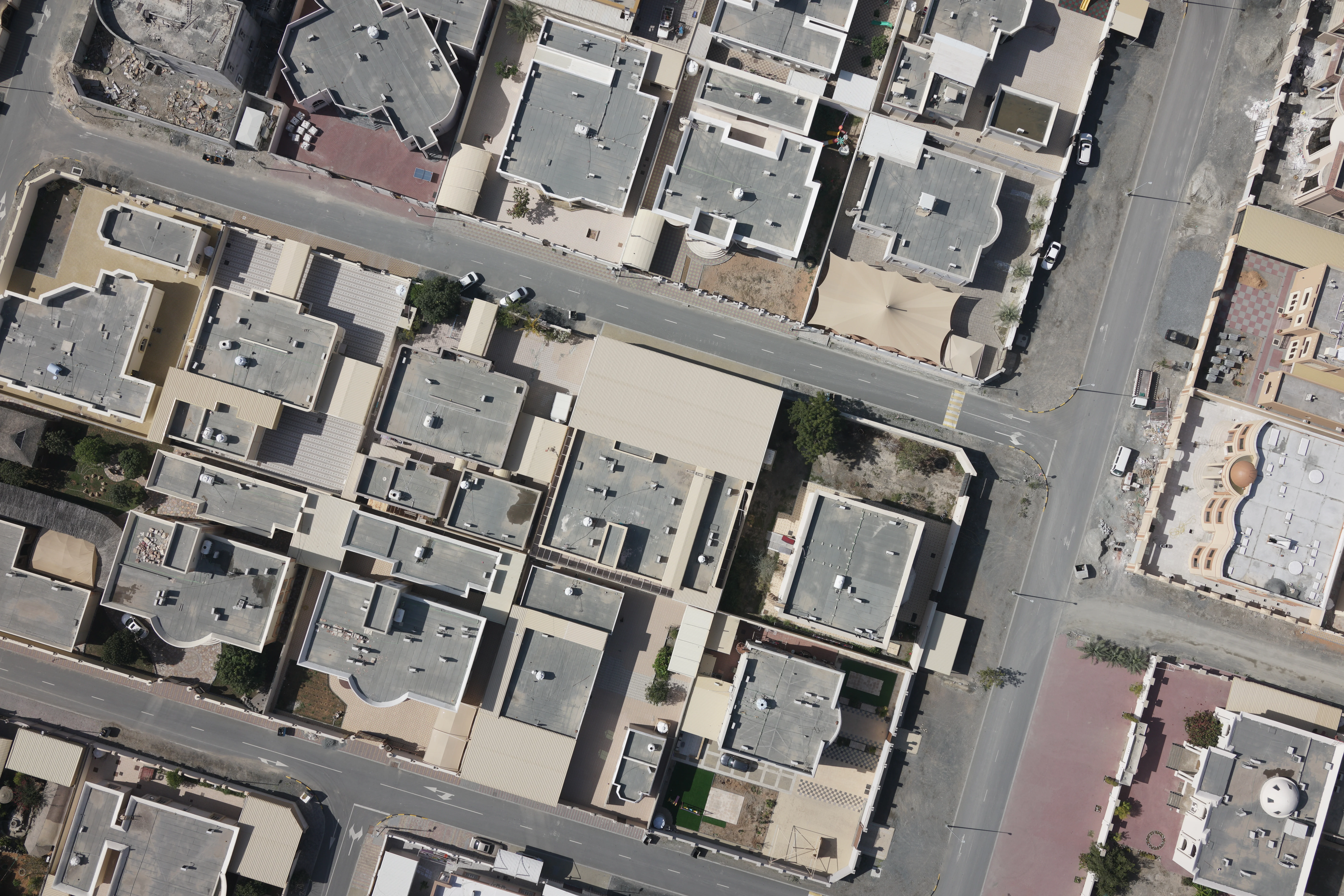
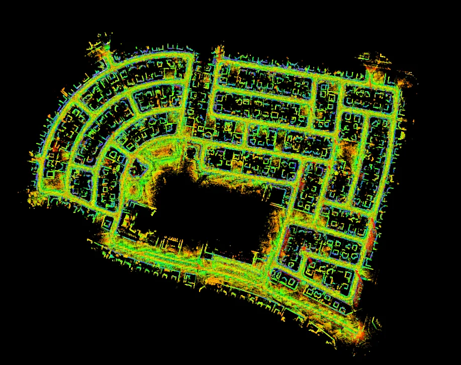
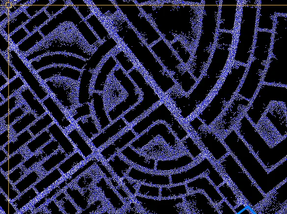
Residential & Commercial Development
Plot-scale surveys for building permit applications
Earthworks & Volume Calculations
DTM-based cut-and-fill and stockpile volume analysis
Deliverables
What you receive at the end of every project
- Topographic survey planDWG / DXF — SNCS coordinate system
- Contour lines at required intervals
- Digital Terrain Model (DTM)
- Drone orthophoto and DSMGeoTIFF
- GIS layersShapefile / Geodatabase
- Survey accuracy statement


Technology Stack
Industry-leading equipment and software
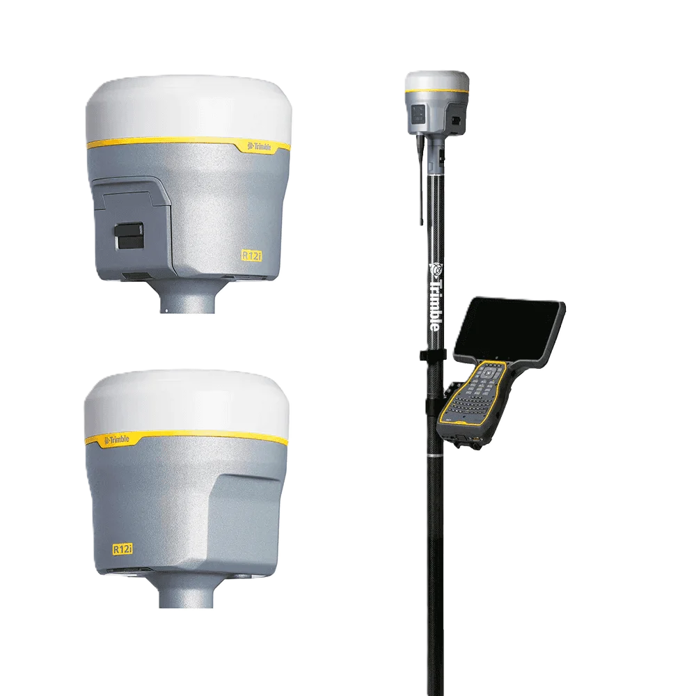
Trimble R12 GNSS
Advanced surveying technology for precision data capture and analysis.
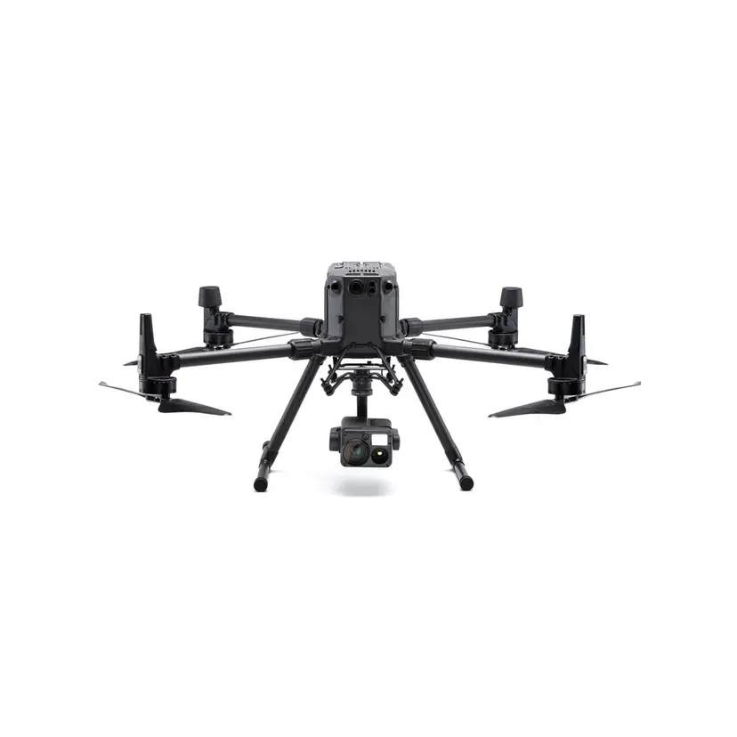
DJI Phantom 4 RTK
Advanced surveying technology for precision data capture and analysis.
AutoCAD Civil 3D
Advanced surveying technology for precision data capture and analysis.
Frequently Asked Questions
We use the Saudi National Coordinate System (SNCS) based on WGS84 with the Saudi Ain el Abd datum as appropriate for the project location and authority requirement.
Yes. For large areas we use drone photogrammetry for efficiency and total station for boundary and detail accuracy. Our largest KSA projects have covered hundreds of square kilometres.
Yes. Our drone operations in Saudi Arabia comply with GACA (General Authority of Civil Aviation) requirements. We obtain all necessary flight permits and operate registered drone platforms.
Have more questions?
Our team of experts is ready to assist you with your specific project requirements across the GCC.
Related Services
Explore our other professional surveying solutions
Land Survey Riyadh
Professional land survey services in Riyadh and across Saudi Arabia. Topographic, cadastral, engineering, and drone surveys for KSA Vision 2030, NEOM, and infrastructure projects.

Aerial Drone Mapping
High-resolution aerial data acquisition for terrain modeling, volumetric analysis, and site documentation.
Survey Company Riyadh
Al Warqa Survey Engineering — a professional survey company in Riyadh with a permanent KSA office. Land, drone, 3D laser scanning, GIS, and BIM survey services for Saudi projects.
Contact us directly
Reach our team instantly via WhatsApp, phone, or email.
Also available in Riyadh