Survey Company Riyadh
Al Warqa Survey Engineering — a professional survey company in Riyadh with a permanent KSA office. Land, drone, 3D laser scanning, GIS, and BIM survey services for Saudi projects.
Survey Company in Riyadh — Full-Service Geospatial Engineering
Al Warqa Survey Engineering is an ISO 9001:2015 certified survey company with offices in Dubai and Riyadh, delivering land survey, topographic survey, drone mapping, 3D laser scanning, hydrographic survey, GIS, and BIM services across Saudi Arabia.
With 25+ years of experience and 15,000+ projects completed across the UAE and KSA, we bring established processes, calibrated equipment, and senior-level expertise to Saudi projects of every scale — from individual plot surveys to Vision 2030 infrastructure corridors.
Our Methodology
Delivering excellence through a proven three-stage workflow
KSA Project Intake
Assess project requirements, authority standards, and mobilise the right team and equipment from our Riyadh base.
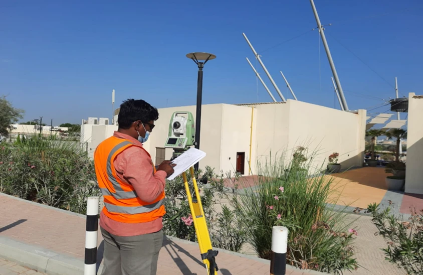
Survey Execution
Deploy experienced surveyors with calibrated equipment for the agreed scope and timeline.
Delivery & Support
Deliver compliant drawings and datasets with post-delivery support for authority submissions.
Applications
Industry sectors and use cases we serve
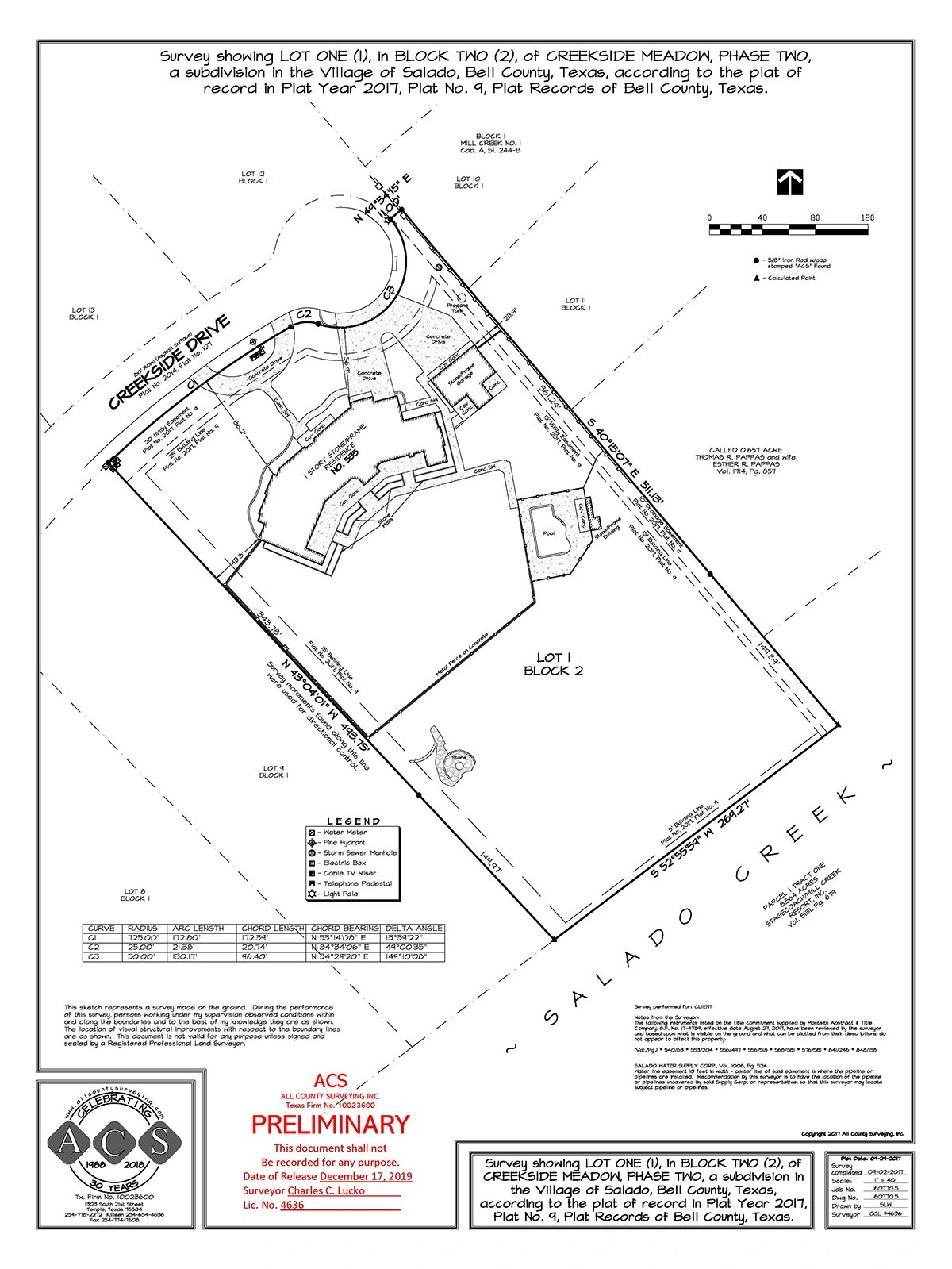
Land & Topographic Surveys
MOMRA-compliant surveys for development and infrastructure projects
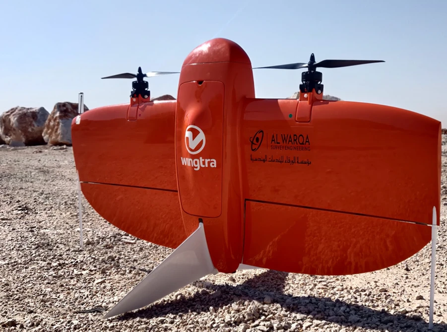
Drone & Aerial Mapping
GACA-approved UAV surveys for large-area topographic mapping
3D Laser Scanning
Point cloud capture for as-built documentation and BIM
BIM & GIS Services
Scan-to-BIM modelling and spatial data systems for KSA projects
Deliverables
What you receive at the end of every project
- Topographic and cadastral survey plansSaudi National Coordinate System
- Drone orthophotos and terrain models
- Point cloud datasetsE57 / LAS
- BIM modelsRevit RVT / IFC
- GIS datasetsShapefile / Geodatabase
Technology Stack
Industry-leading equipment and software
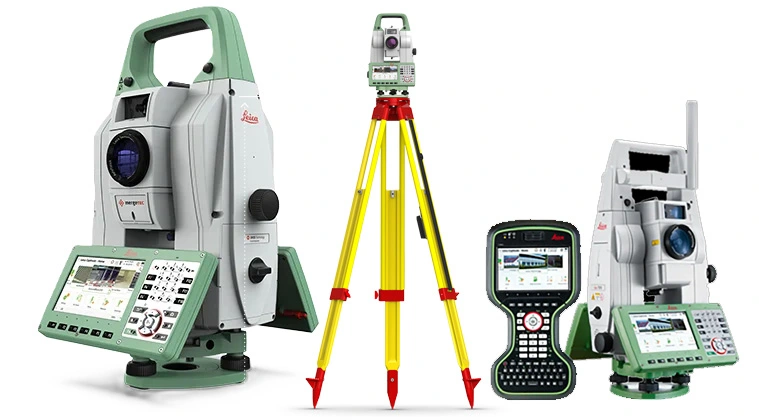
Leica TS16 Total Station
Advanced surveying technology for precision data capture and analysis.
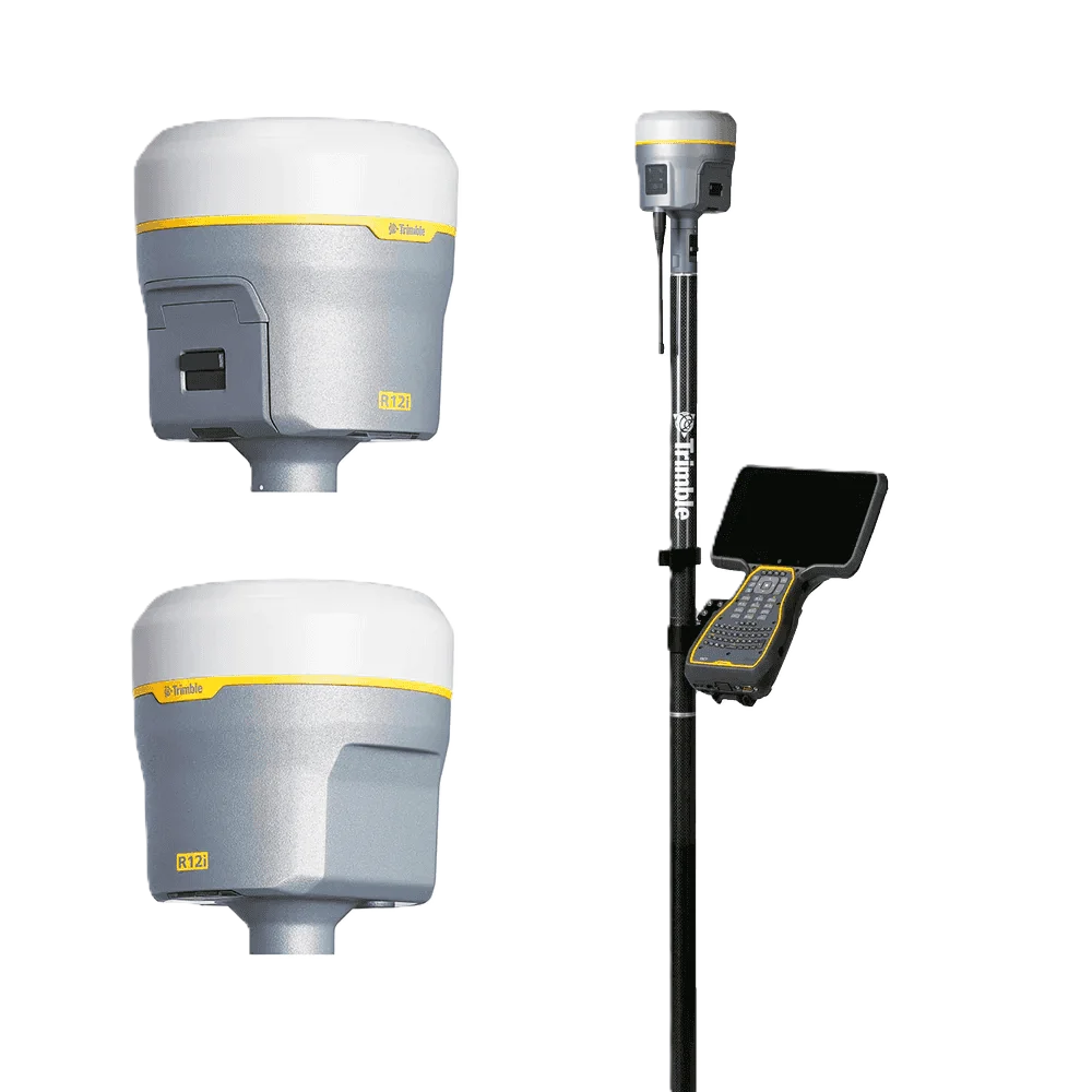
Trimble R12 GNSS
Advanced surveying technology for precision data capture and analysis.
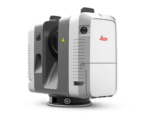
Leica RTC360 Scanner
Advanced surveying technology for precision data capture and analysis.
Frequently Asked Questions
Our Riyadh office serves as the base for all Saudi Arabia survey operations. Contact us directly for our office address and to discuss your project requirements.
Yes. We operate across Saudi Arabia including Jeddah, Dammam, Khobar, NEOM, and other regions. Our Riyadh office coordinates all KSA operations.
Yes. We have experience working on Saudi government, ROSHN, PIF, and authority projects and can provide pre-qualification documents and ISO certification as required.
Have more questions?
Our team of experts is ready to assist you with your specific project requirements across the GCC.
Related Services
Explore our other professional surveying solutions
Land Survey Riyadh
Professional land survey services in Riyadh and across Saudi Arabia. Topographic, cadastral, engineering, and drone surveys for KSA Vision 2030, NEOM, and infrastructure projects.
Topographic Survey Saudi Arabia
Professional topographic survey services across Saudi Arabia. GNSS, total station, and drone methods for Vision 2030 developments, NEOM, road corridors, and infrastructure projects.
Drone Survey Saudi Arabia
GACA-approved drone survey services across Saudi Arabia. UAV photogrammetry and LiDAR for topographic mapping, construction monitoring, volume calculations, and infrastructure corridor surveys.
Contact us directly
Reach our team instantly via WhatsApp, phone, or email.
Also available in Riyadh