Land Survey Riyadh
Professional land survey services in Riyadh and across Saudi Arabia. Topographic, cadastral, engineering, and drone surveys for KSA Vision 2030, NEOM, and infrastructure projects.
Land Survey Services in Riyadh & Saudi Arabia
Al Warqa Survey Engineering maintains a Riyadh office delivering land survey, topographic survey, drone mapping, 3D laser scanning, and GIS services to Saudi developers, contractors, and government authorities. Our KSA team is experienced with Ministry of Municipal and Rural Affairs (MOMRA) requirements and major Saudi infrastructure programmes.
Saudi Arabia's Vision 2030 and NEOM mega-projects are driving unprecedented demand for precision survey services. We provide certified survey teams with full equipment capability — GNSS, total station, drone, and laser scanner — delivering to Saudi Aramco, ROSHN, PIF-backed projects, and government authorities across the Kingdom.
Our Methodology
Delivering excellence through a proven three-stage workflow
Saudi Authority Compliance Check
Confirm MOMRA, ROSHN, or project-specific coordinate and deliverable requirements before mobilisation.
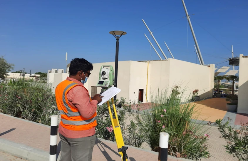
Field Survey Execution
Deploy Riyadh-based survey team with full equipment capability for the agreed scope.
Drawing & Report Delivery
Produce authority-compliant deliverables with Saudi coordinate system references and accuracy documentation.
Applications
Industry sectors and use cases we serve
Vision 2030 & NEOM Projects
Large-scale topographic, corridor, and infrastructure surveys for mega-developments
Residential & Commercial Development
Plot surveys, setting-out, and as-builts for Saudi developers and contractors
Road & Infrastructure Corridors
Topographic and as-built surveys for KSA road, utility, and railway projects
Industrial & Energy Facilities
Saudi Aramco, SEC, and SWCC facility surveys and 3D scanning
Deliverables
What you receive at the end of every project
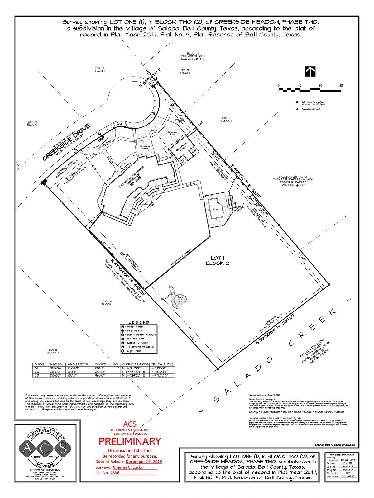
- Topographic survey plansDWG / DXF — Saudi National Coordinate System
- Cadastral and boundary surveys
- As-built and setting-out surveys
- Drone orthophoto and DSM
- Survey accuracy statement and report
Technology Stack
Industry-leading equipment and software
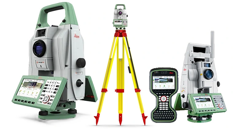
Leica TS16 Total Station
Advanced surveying technology for precision data capture and analysis.
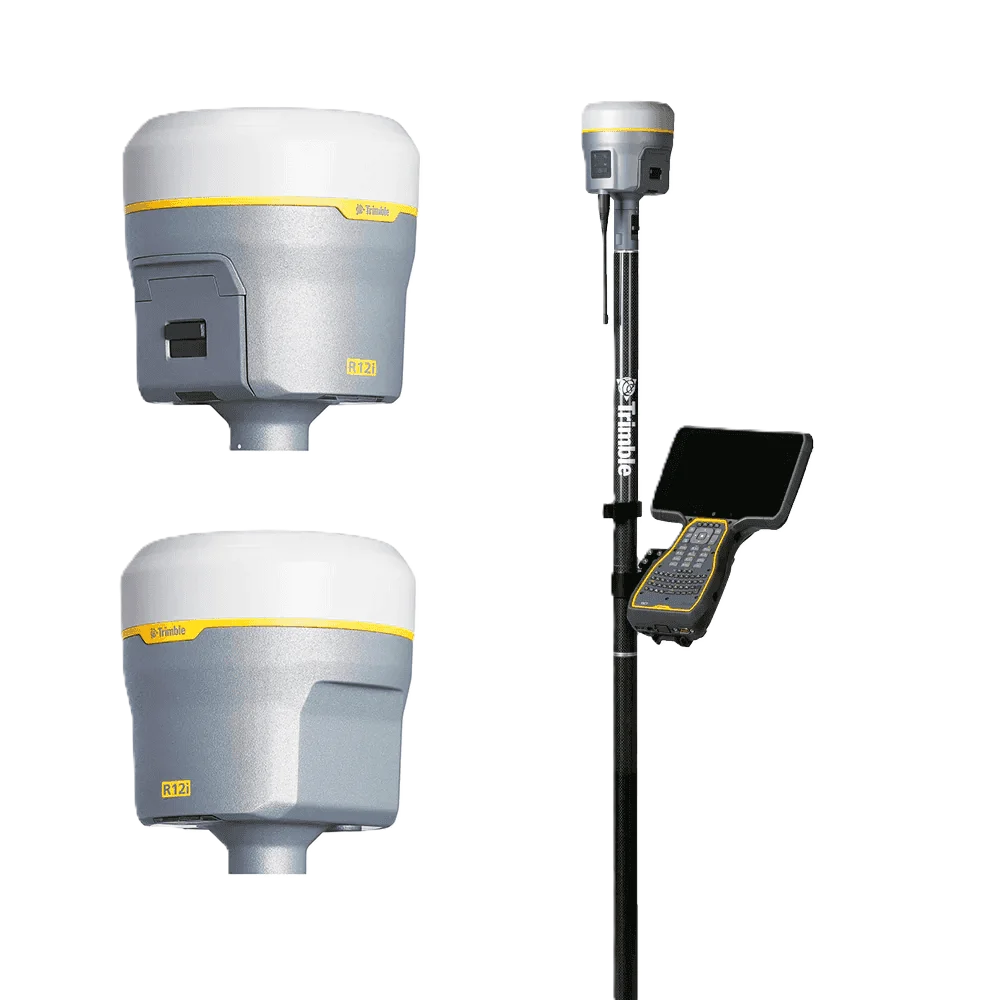
Trimble R12 GNSS
Advanced surveying technology for precision data capture and analysis.
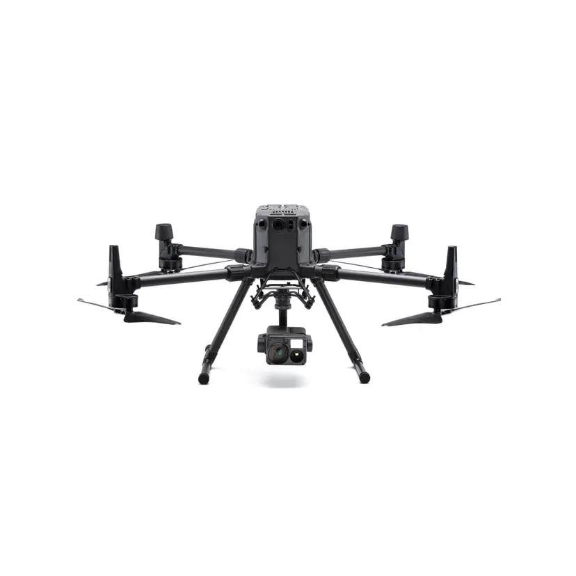
DJI Phantom 4 RTK
Advanced surveying technology for precision data capture and analysis.
Frequently Asked Questions
Yes. Al Warqa Survey Engineering has a Riyadh-based office and survey team. We are not a UAE company mobilising from Dubai — we have permanent staff and equipment in Saudi Arabia for fast response to KSA projects.
Yes. We hold the required commercial registration and professional licences to operate survey services in Saudi Arabia, compliant with MOMRA and relevant Saudi authority requirements.
Yes. Our KSA team has experience on large-scale master development, infrastructure, and energy projects. We can mobilise multi-team deployments for large project requirements.
Have more questions?
Our team of experts is ready to assist you with your specific project requirements across the GCC.
Related Services
Explore our other professional surveying solutions
Land Survey Dubai
Professional land survey services in Dubai for construction, development, and infrastructure projects. Authority-approved, ISO-certified, 25+ years experience.
Topographic Survey Saudi Arabia
Professional topographic survey services across Saudi Arabia. GNSS, total station, and drone methods for Vision 2030 developments, NEOM, road corridors, and infrastructure projects.
Drone Survey Saudi Arabia
GACA-approved drone survey services across Saudi Arabia. UAV photogrammetry and LiDAR for topographic mapping, construction monitoring, volume calculations, and infrastructure corridor surveys.
Contact us directly
Reach our team instantly via WhatsApp, phone, or email.
Also available in Riyadh