Drone Survey Saudi Arabia
GACA-approved drone survey services across Saudi Arabia. UAV photogrammetry and LiDAR for topographic mapping, construction monitoring, volume calculations, and infrastructure corridor surveys.
Drone Survey Services in Saudi Arabia
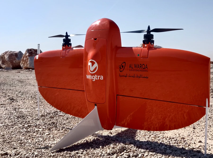
Al Warqa Survey Engineering operates GACA-approved drone survey teams across Saudi Arabia, delivering UAV photogrammetry and LiDAR mapping for topographic surveys, construction progress monitoring, volume calculations, and infrastructure corridor mapping.
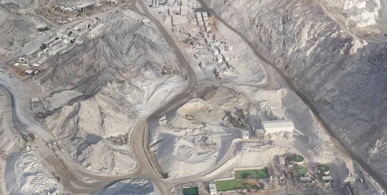
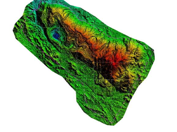
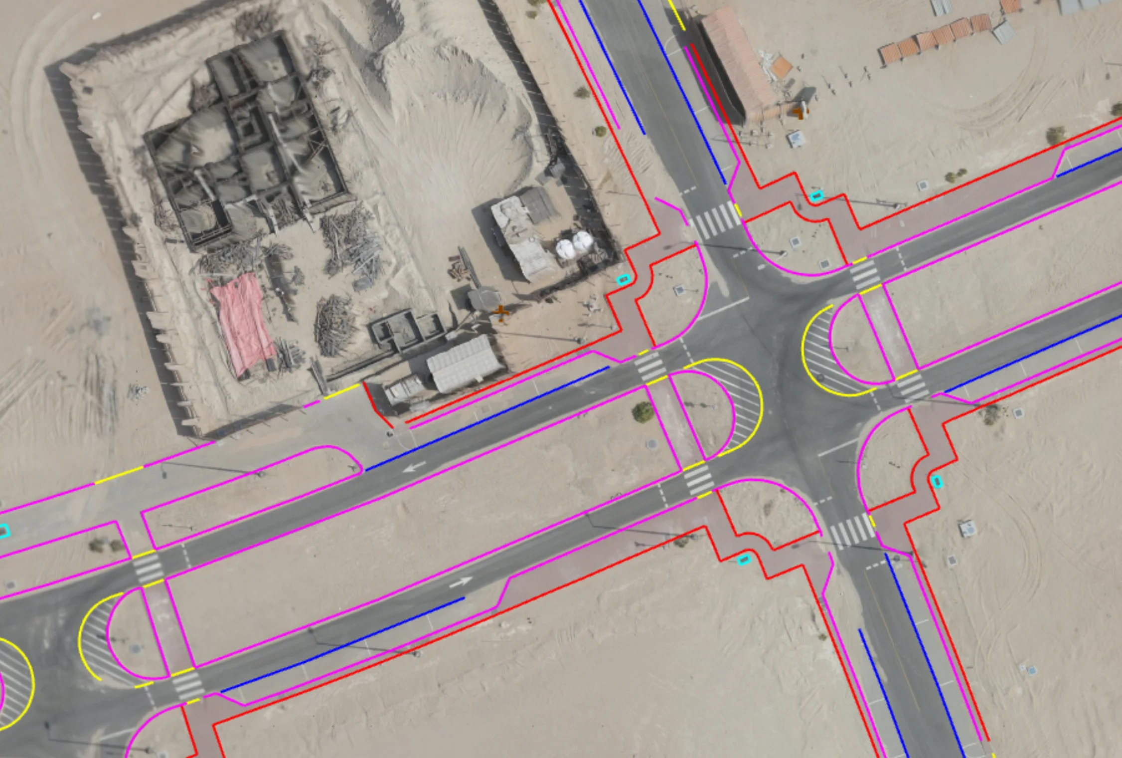
Saudi Arabia's Vision 2030 and NEOM mega-projects are generating demand for rapid, accurate large-area survey data. Drone surveys cover hundreds of hectares in a single day — delivering orthophotos, digital terrain models, and point clouds to the Saudi National Coordinate System (SNCS) faster and more cost-effectively than traditional ground methods.
Our Methodology
Delivering excellence through a proven three-stage workflow
GACA Permits & Flight Planning
Obtain GACA flight approval and plan mission parameters — altitude, overlap, GCP distribution — for required accuracy.
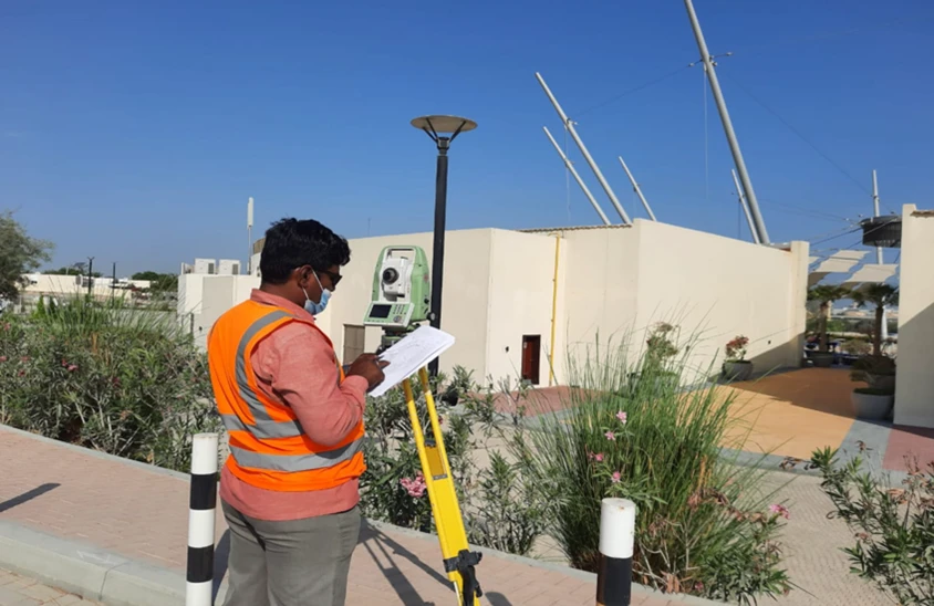
GCP Survey & UAV Flight
Survey ground control points with GPS RTK; execute drone flights with real-time data monitoring.
Photogrammetry Processing & Delivery
Process imagery in Pix4D or Agisoft Metashape; produce ortho, DTM, point cloud, and contour outputs.
Applications
Industry sectors and use cases we serve
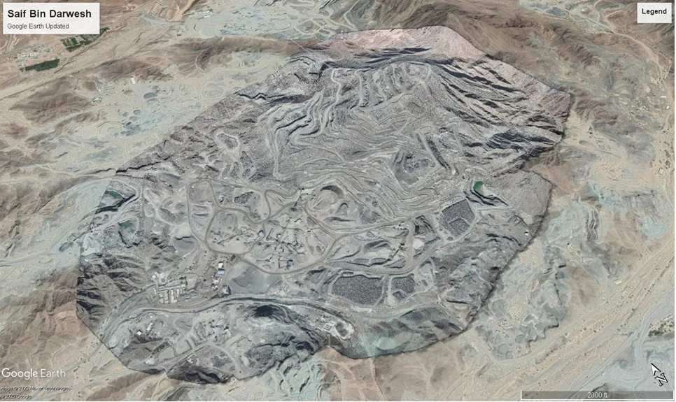
NEOM & Giga-Project Mapping
Rapid large-area terrain capture for master planning and design
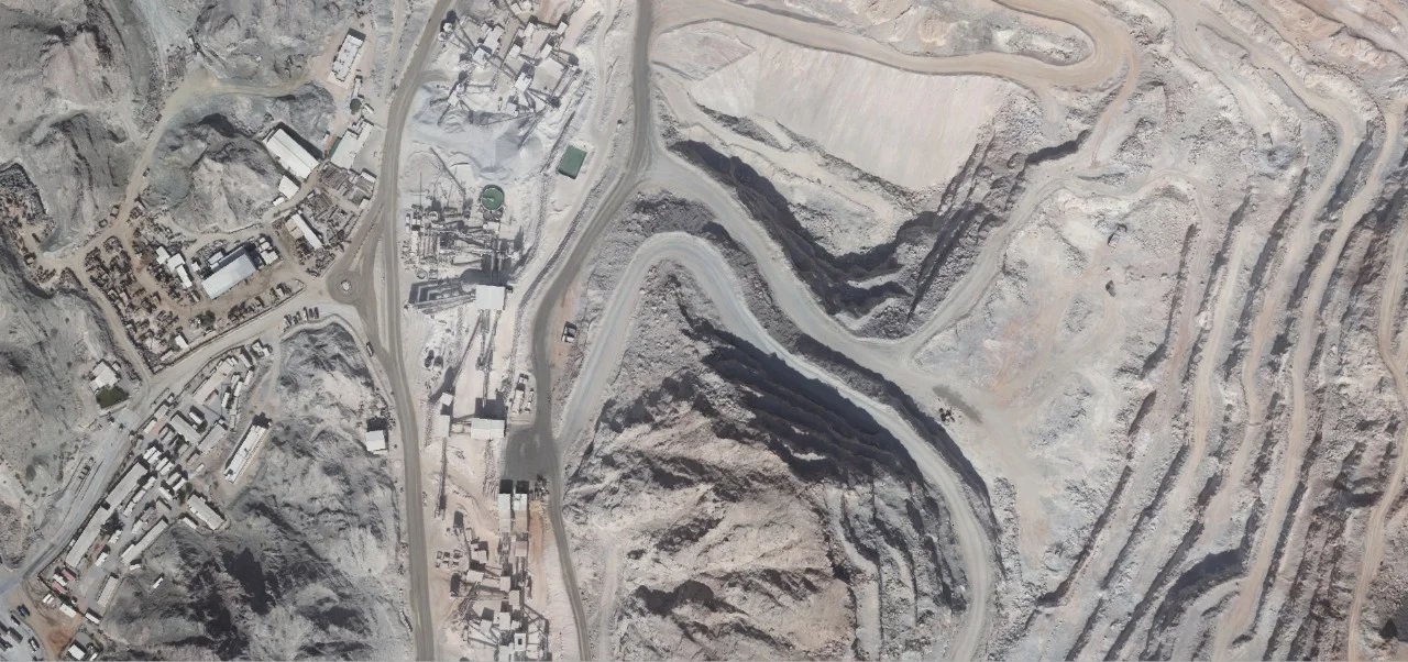
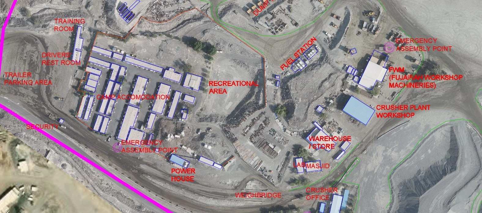
Construction Progress Monitoring
Regular drone surveys for earthworks tracking and volume reporting
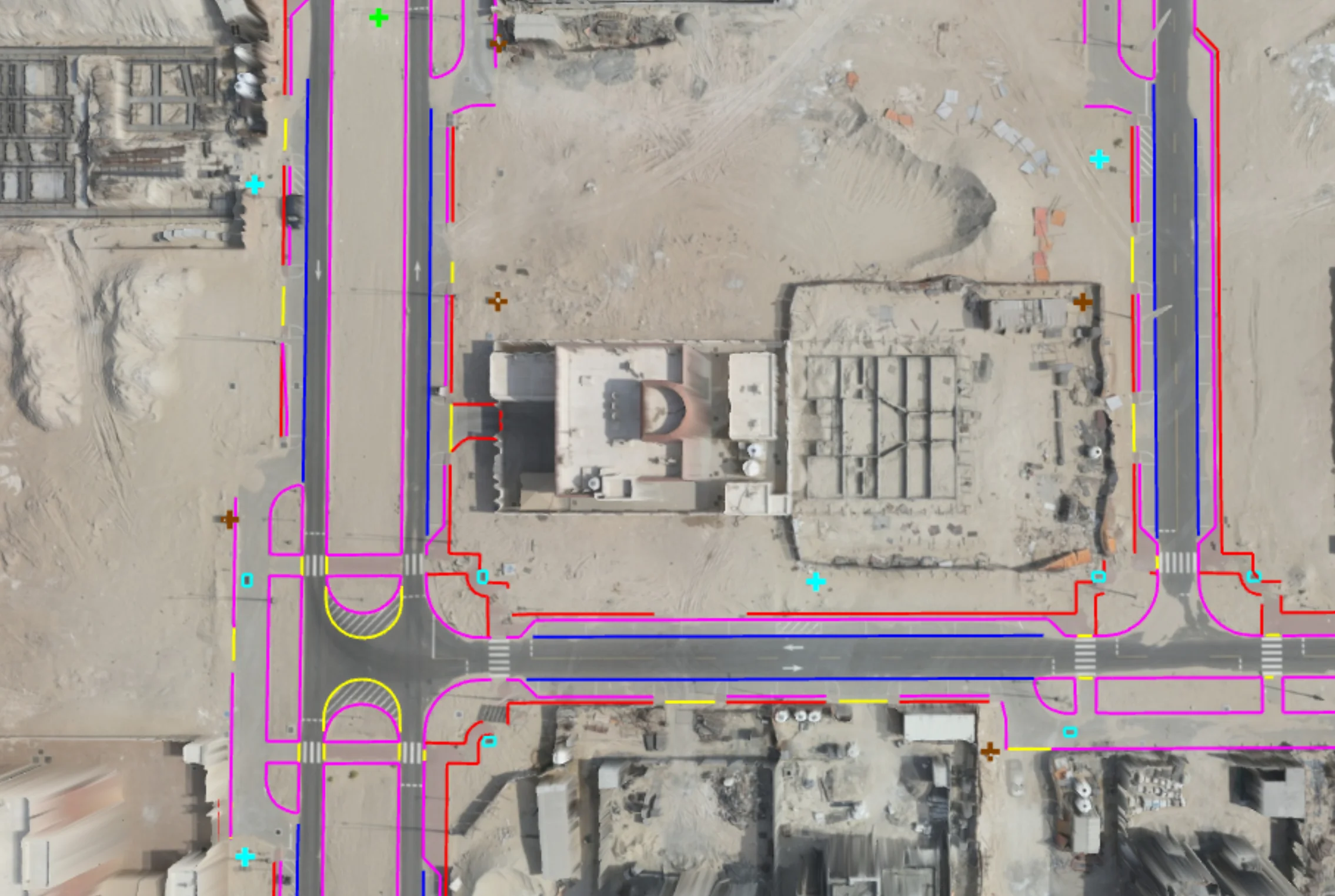
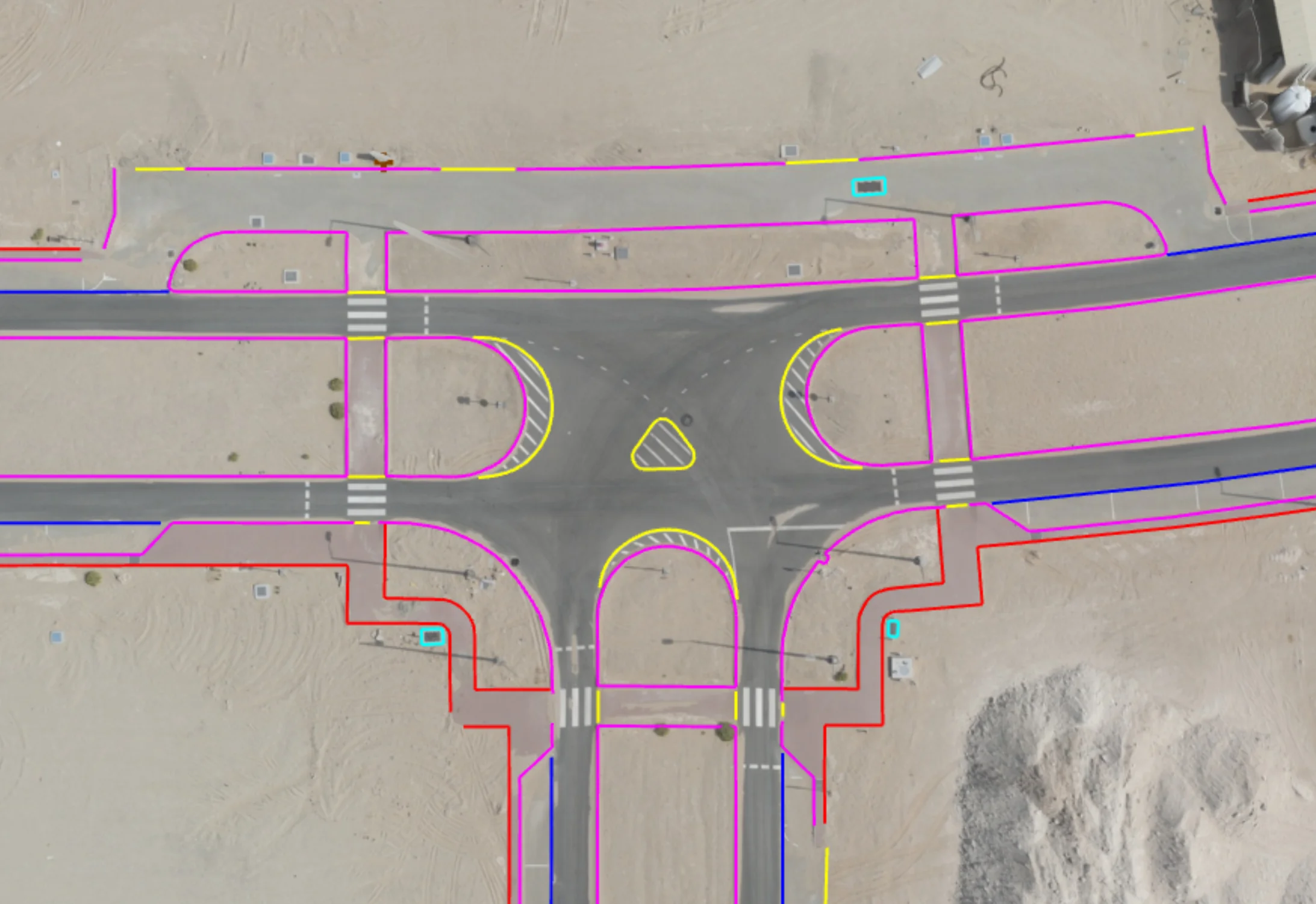
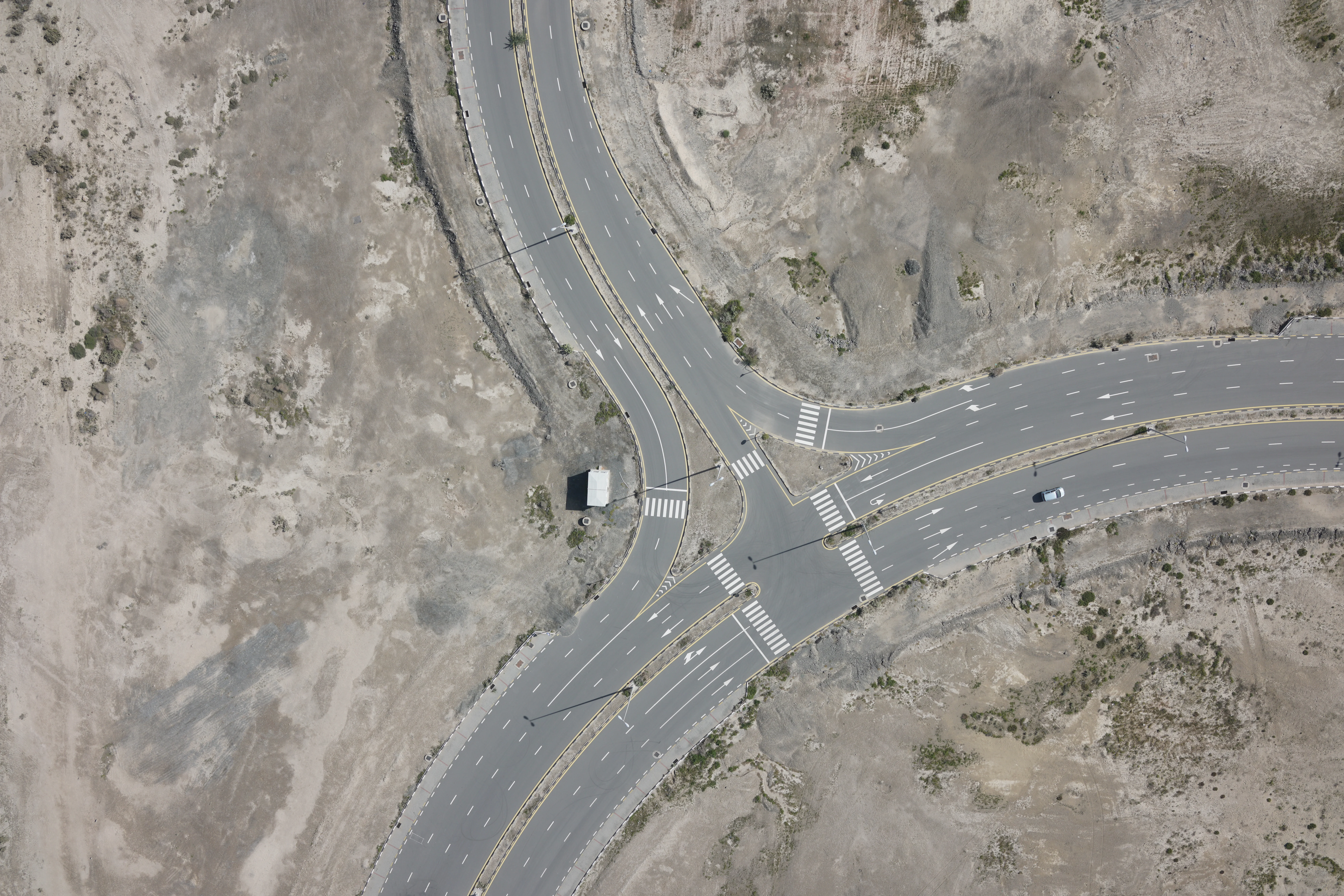
Infrastructure Corridor Surveys
Road, railway, and pipeline route topographic surveys
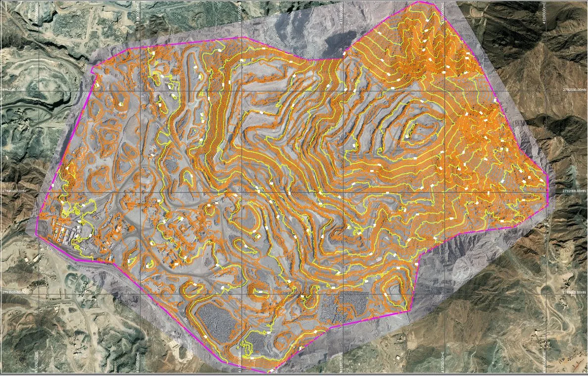
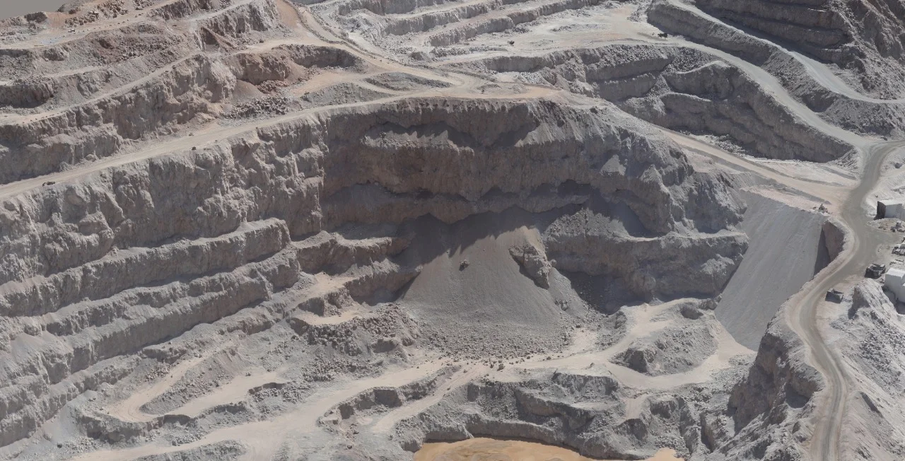
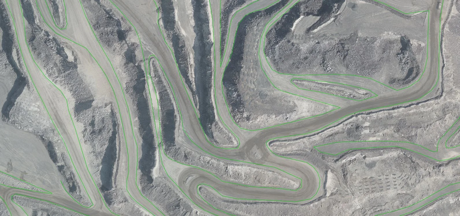
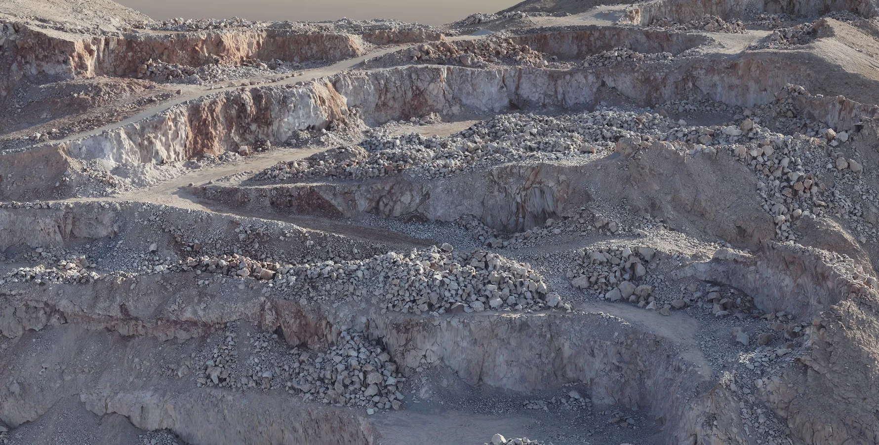
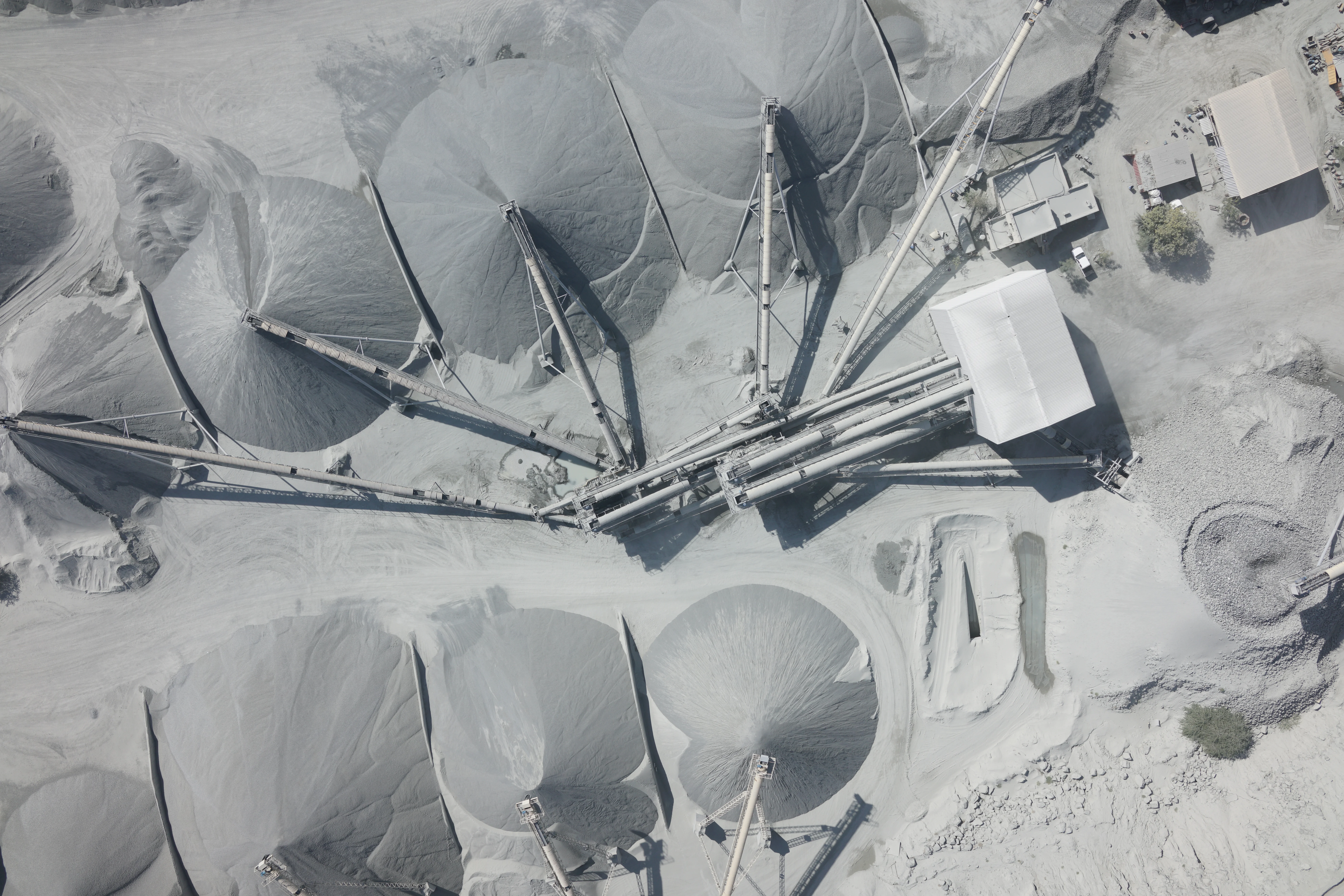
Volume & Stockpile Calculations
Quarry and earthworks volume measurements from drone DSM
Deliverables
What you receive at the end of every project
- Georeferenced orthomosaicGeoTIFF — SNCS coordinate system
- Digital Terrain Model (DTM) and DSM
- Dense point cloudLAS / LAZ
- Contour map and topographic planDWG / DXF
- Volume and earthworks report
- Survey accuracy statement — RMSE against GCPs

Technology Stack
Industry-leading equipment and software
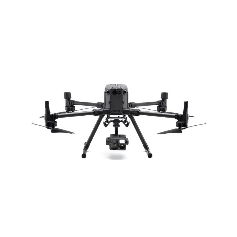
DJI Phantom 4 RTK
Advanced surveying technology for precision data capture and analysis.
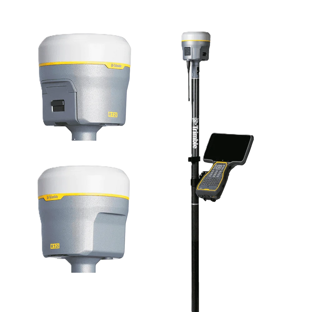
Trimble R12 GNSS
Advanced surveying technology for precision data capture and analysis.

Pix4Dmapper / Metashape
Advanced surveying technology for precision data capture and analysis.
Frequently Asked Questions
Yes. All commercial drone operations in Saudi Arabia require GACA (General Authority of Civil Aviation) approval. Al Warqa Survey Engineering holds the required approvals and manages all permit applications as part of the survey service.
With properly surveyed GCPs using GPS RTK, drone photogrammetry achieves ±30–50 mm horizontal and ±50–80 mm vertical accuracy — sufficient for topographic design surveys and earthworks calculations.
Yes. Drone surveys are particularly efficient for large, open areas typical of Saudi desert and infrastructure corridor sites. A single drone can cover 100–200 hectares per day. For very large projects, multiple drone teams operate in parallel.
Have more questions?
Our team of experts is ready to assist you with your specific project requirements across the GCC.
Related Services
Explore our other professional surveying solutions
Aerial Drone Mapping
High-resolution aerial data acquisition for terrain modeling, volumetric analysis, and site documentation.
Topographic Survey Saudi Arabia
Professional topographic survey services across Saudi Arabia. GNSS, total station, and drone methods for Vision 2030 developments, NEOM, road corridors, and infrastructure projects.
Land Survey Riyadh
Professional land survey services in Riyadh and across Saudi Arabia. Topographic, cadastral, engineering, and drone surveys for KSA Vision 2030, NEOM, and infrastructure projects.
Contact us directly
Reach our team instantly via WhatsApp, phone, or email.
Also available in Riyadh