Survey Companies in Dubai
Al Warqa Survey Engineering is a leading survey company in Dubai offering comprehensive land, engineering, drone, and geospatial survey services for construction and infrastructure projects across the UAE.
Al Warqa Survey Engineering — Dubai's Full-Service Survey Company
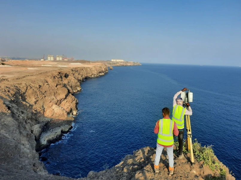
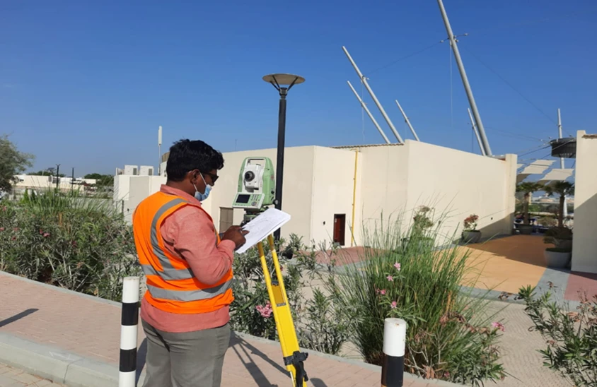
As a Dubai-based survey company with over 15 years of experience, Al Warqa Survey Engineering delivers the full spectrum of survey services demanded by the UAE construction, infrastructure, and property sectors. From boundary surveys and topographic mapping to drone photogrammetry, 3D laser scanning, and GIS, our teams handle every survey discipline under one company.
Licensed by Dubai Municipality, RERA, and key UAE authorities, Al Warqa Survey Engineering operates across Dubai, Abu Dhabi, Sharjah, Ras Al Khaimah, and all Emirates — making us a reliable single-source survey partner for projects of all scales.
Our Methodology
Delivering excellence through a proven three-stage workflow
Project Consultation
We assess your survey requirements and recommend the most efficient methodology and team composition.
Field Survey Execution
Qualified survey teams execute the work to authority and project standards using calibrated equipment.
Certified Deliverables
All outputs are checked, certified by licensed engineers, and submitted in authority-compliant formats.
Applications
Industry sectors and use cases we serve
Construction & Infrastructure Projects
Setting out, control networks, and as-built surveys for builders and developers
Government & Authority Projects
Authority-compliant survey submissions for Dubai Municipality and other bodies
Oil, Gas & Industrial Facilities
High-accuracy survey support for industrial and energy sector clients
Property & Real Estate Development
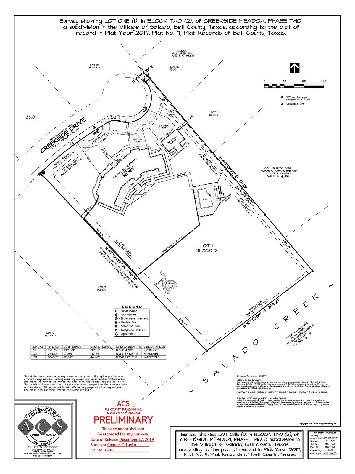
Plot surveys, boundary demarcation, and cadastral services for developers
Deliverables
What you receive at the end of every project
- All major survey types covered
- Licensed survey engineers and surveyors
- Authority-compliant deliverables
- UAE-wide project coverage
- Modern calibrated equipment fleet
Technology Stack
Industry-leading equipment and software
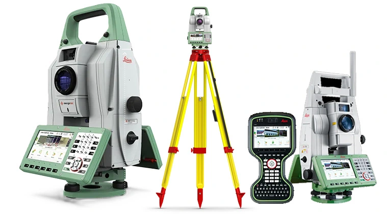
Leica TS16 Total Station
Advanced surveying technology for precision data capture and analysis.
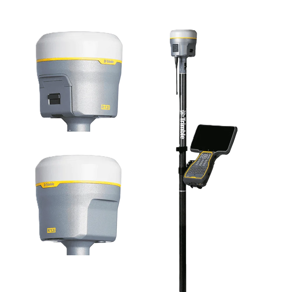
Trimble R10 GNSS
Advanced surveying technology for precision data capture and analysis.
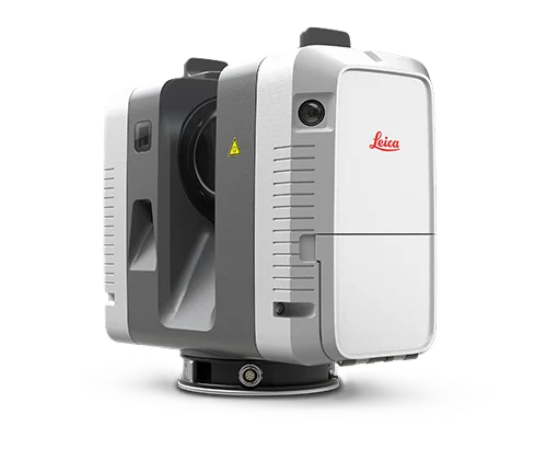
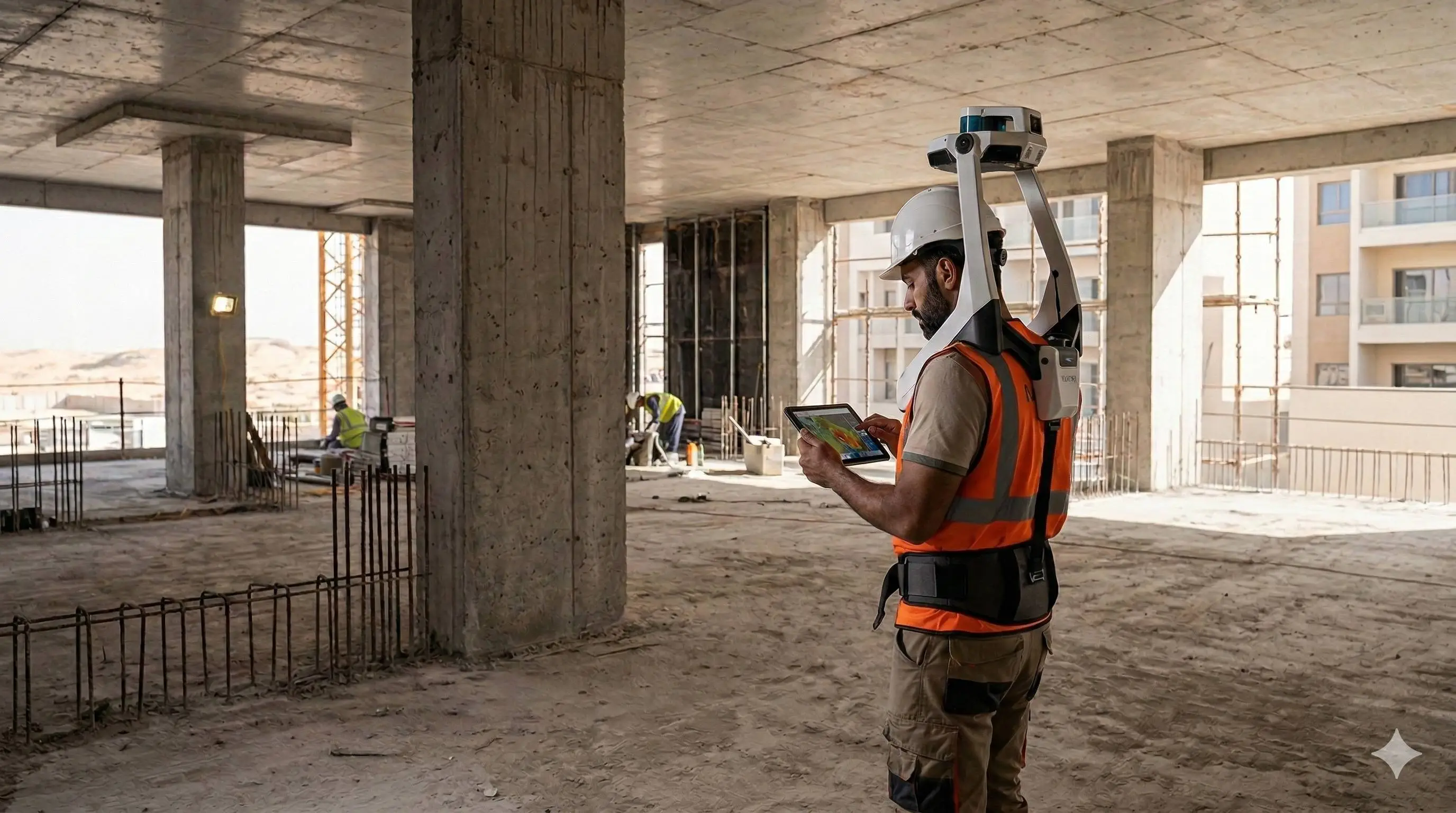
Leica RTC360 Scanner
Advanced surveying technology for precision data capture and analysis.
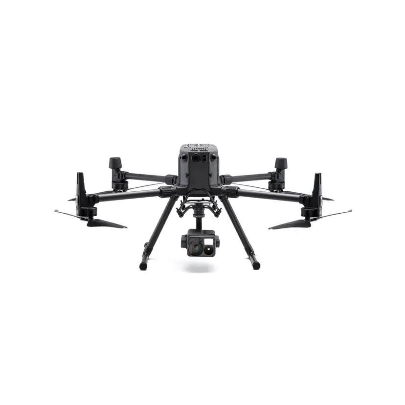
DJI Phantom 4 RTK
Advanced surveying technology for precision data capture and analysis.
AutoCAD Civil 3D
Advanced surveying technology for precision data capture and analysis.
Frequently Asked Questions
Yes, we hold active licenses from Dubai Municipality, DLD, and are registered with key UAE authority bodies for survey works.
We operate across all seven Emirates including Dubai, Abu Dhabi, Sharjah, Ras Al Khaimah, Fujairah, Ajman, and Umm Al Quwain.
Yes, we have delivered survey services on major road, utility, and master development projects across the UAE.
Yes, contact us with your project details and we will provide a scope-specific quotation within one business day.
Have more questions?
Our team of experts is ready to assist you with your specific project requirements across the GCC.
Related Services
Explore our other professional surveying solutions
Land, Engineering & Cadastral Surveying
Precision boundary, control, and engineering surveys supporting development, construction, and regulatory approvals.
As-Built Surveys (3D Laser Scanning-Based)
High-accuracy 3D laser scanning for documentation and verification of existing building structures, including slab levels, core walls, and structural geometry.
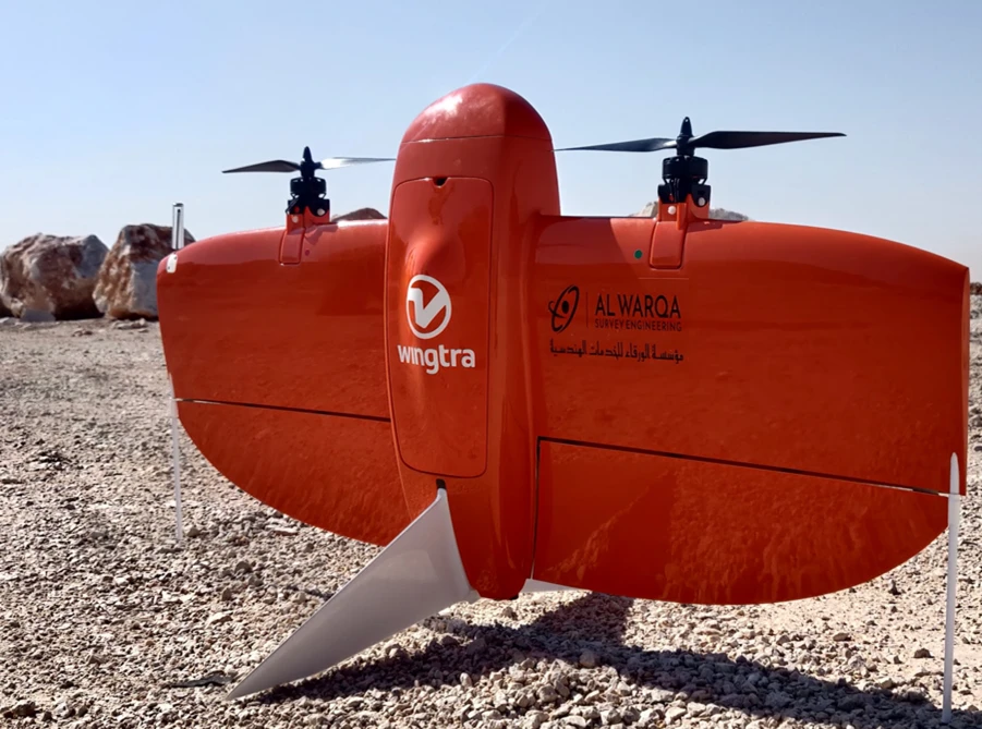
Aerial Drone Mapping
High-resolution aerial data acquisition for terrain modeling, volumetric analysis, and site documentation.
Contact us directly
Reach our team instantly via WhatsApp, phone, or email.
Also available in Riyadh