Dilapidation Survey Dubai
Pre-construction dilapidation surveys in Dubai and the UAE. Detailed condition reports, photographic documentation, and crack mapping to protect contractors and developers from damage claims.
Dilapidation Surveys in Dubai & the UAE
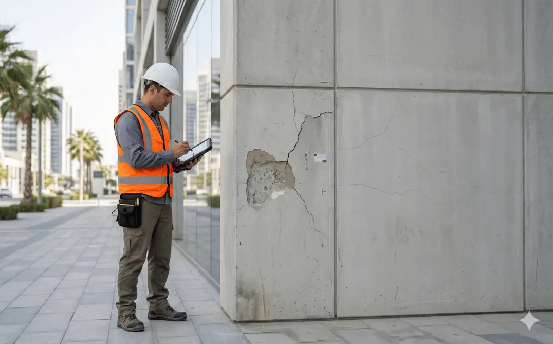
Al Warqa Survey Engineering provides pre-construction and post-construction dilapidation surveys across Dubai, Abu Dhabi, and the UAE. A dilapidation survey documents the existing condition of buildings, roads, walls, and surrounding structures before nearby piling, excavation, demolition, or heavy construction works begin — providing legally defensible evidence of pre-existing defects.
In Dubai's dense urban environment, construction activities frequently affect adjacent properties. Dubai Municipality and RERA requirements, as well as standard construction contracts, typically require dilapidation surveys for projects involving deep excavation, piling, or demolition within close proximity to existing buildings.
Our Methodology
Delivering excellence through a proven three-stage workflow
Site Access & Scope Confirmation
Coordinate access with property owners and stakeholders. Define inspection scope covering all structures within the impact zone of proposed works.
Systematic Condition Inspection
Systematically inspect internal and external structural elements, facades, floors, ceilings, and adjacent infrastructure. Record all visible cracks, settlement, spalling, and surface defects.
Documentation & Reporting
Compile geo-tagged photographs, crack width measurements, and annotated drawings into a professionally prepared report accepted by Dubai authorities and courts.
Applications
Industry sectors and use cases we serve
Pre-Piling & Excavation Surveys
Baseline condition record before deep excavation or piling commences
Adjacent Property Protection
Condition assessment of neighbouring buildings to prevent damage disputes
Road & Pavement Condition
Pre-construction record of Dubai road and pavement condition
Legal & Insurance Documentation
Professionally prepared reports for legal and insurance proceedings
Deliverables
What you receive at the end of every project
- Dilapidation condition reportPDF — timestamped, signed by chartered surveyor
- Crack and defect mapping drawingsDWG / PDF site plans with defect annotations
- Photographic evidence logGeo-tagged, timestamped high-resolution photos
- Video walkthrough recording
- Summary condition assessmentSeverity classification for each defect

Technology Stack
Industry-leading equipment and software
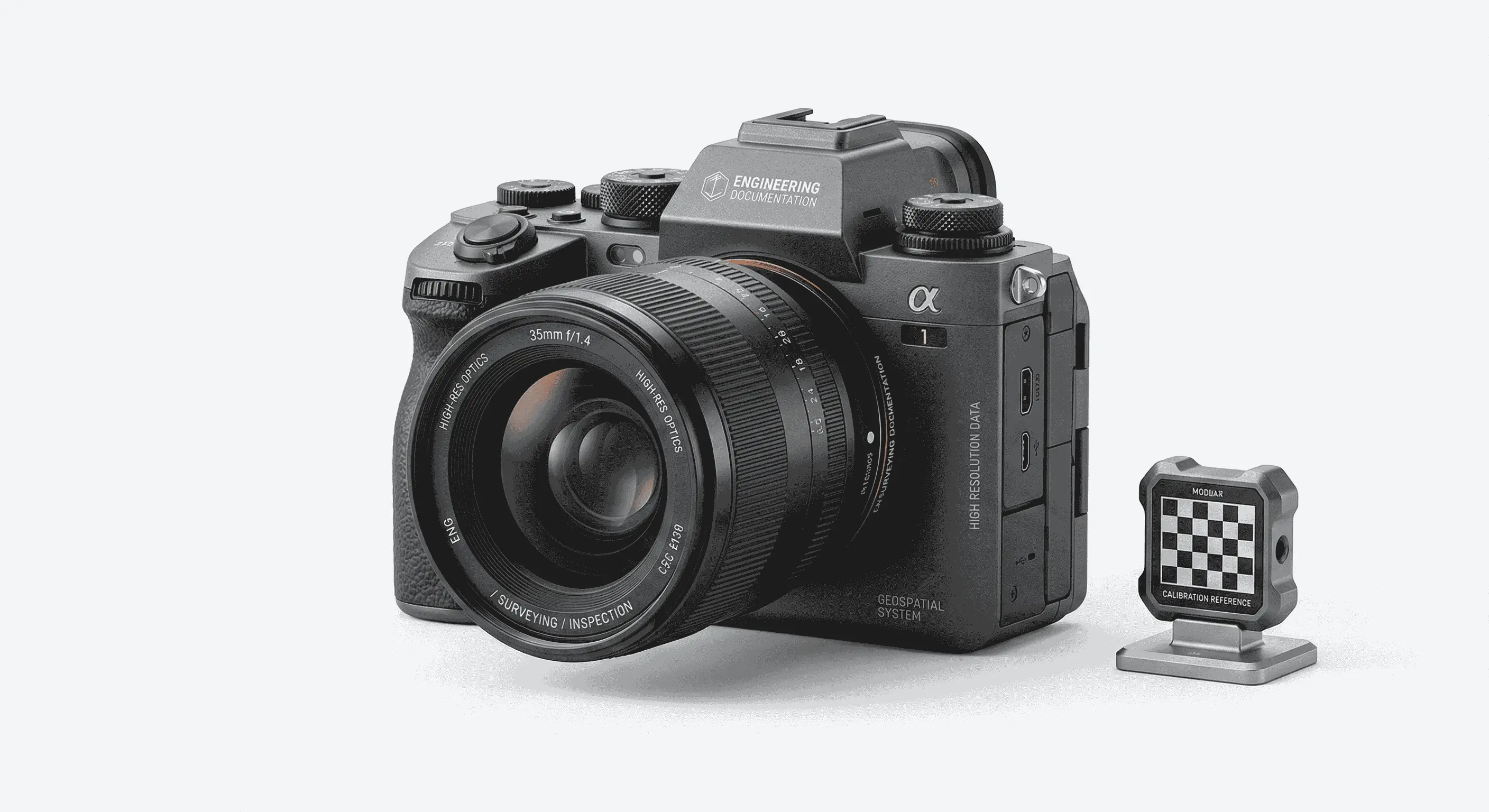
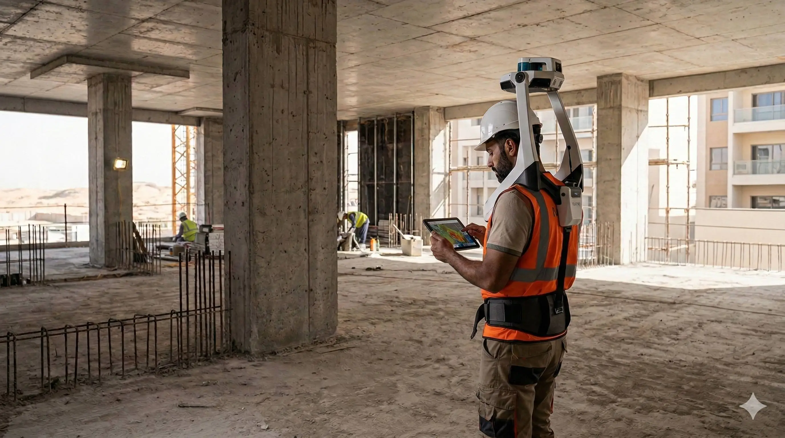
High-Resolution Cameras
Advanced surveying technology for precision data capture and analysis.
Crack Width Gauges
Advanced surveying technology for precision data capture and analysis.
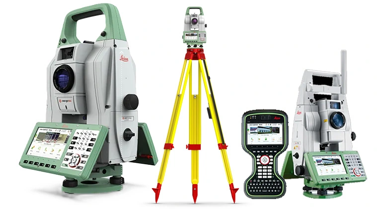
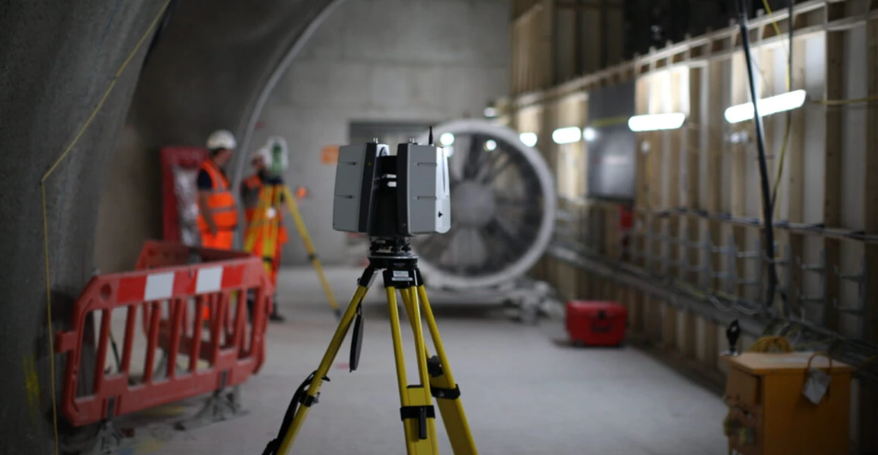
Leica TS16 Total Station
Advanced surveying technology for precision data capture and analysis.
AutoCAD
Advanced surveying technology for precision data capture and analysis.
Frequently Asked Questions
A dilapidation survey should be completed before any construction activity begins on adjacent sites. The survey must be done before ground disturbance starts to establish a legally valid baseline. Post-construction surveys are then done for comparison.
Yes. Al Warqa dilapidation reports are prepared to professional standards with timestamped photographs, signed condition drawings, and a professional surveyor declaration — accepted in Dubai courts, DLD proceedings, and insurance claims.
We document all visible structural and surface defects including cracks (with width measurement), settlement cracks, façade spalling, damp staining, floor settlement, boundary wall condition, and road and pavement defects.
For standard urban Dubai sites, we typically mobilise within 2–3 working days of confirmed access. Urgent pre-construction surveys for imminent piling or excavation commencement can be prioritised.
Have more questions?
Our team of experts is ready to assist you with your specific project requirements across the GCC.
Related Services
Explore our other professional surveying solutions
Dilapidation Surveys
Pre-construction condition assessment and documentation of existing buildings and infrastructure.
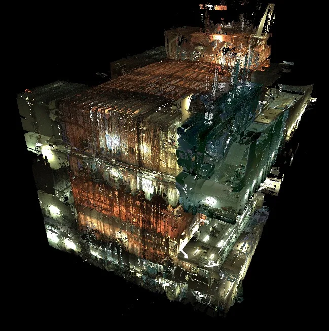
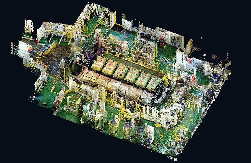
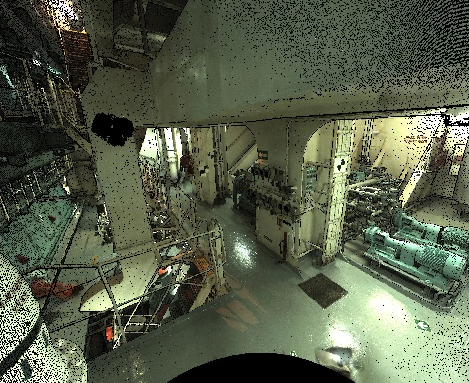
3D Laser Scanning
High-precision terrestrial laser scanning for detailed 3D capture of buildings, structures, and industrial environments.
As-Built Survey Dubai
Accurate as-built surveys in Dubai documenting completed construction against approved designs. CAD drawings and point cloud capture for authorities, developers, and contractors.
Contact us directly
Reach our team instantly via WhatsApp, phone, or email.
Also available in Riyadh