Bathymetric Survey Saudi Arabia
Professional bathymetric and hydrographic survey services across Saudi Arabia. Single and multi-beam echo sounder surveys for the Red Sea coast, NEOM, and port development projects.

Bathymetric & Hydrographic Survey Services in Saudi Arabia
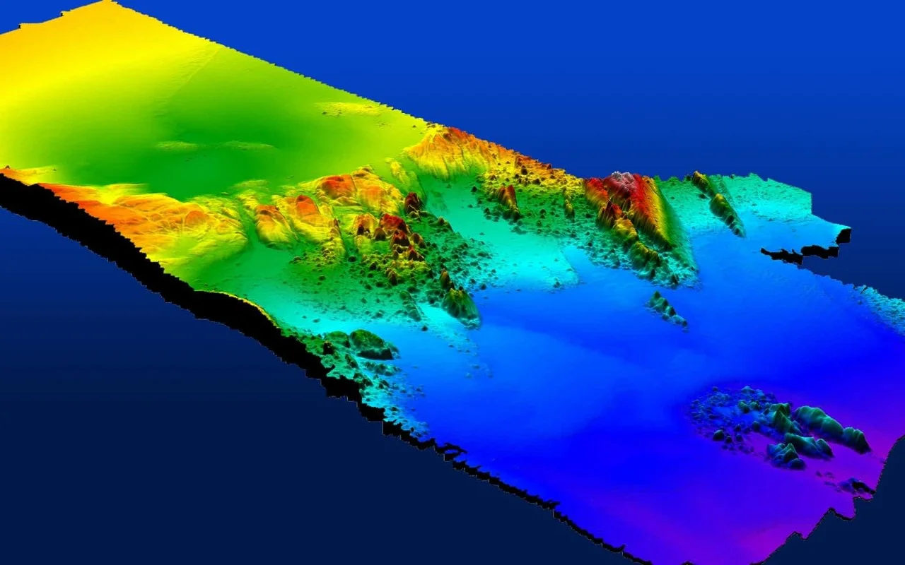
Al Warqa Survey Engineering delivers bathymetric and hydrographic survey services across Saudi Arabia — covering the Red Sea coastline, Arabian Gulf, NEOM waterfront, and inland water bodies. We deploy single and multi-beam echo sounders with GNSS positioning to produce accurate seabed topography, depth data, and navigational charts required for port development, coastal engineering, and environmental studies.
Saudi Arabia's Vision 2030 is driving significant coastal infrastructure investment — from NEOM's The Line and Sindalah island to new port expansions in Jeddah, Yanbu, and Jubail. Our KSA hydrographic survey teams deliver IHO S-44 compliant data to the Saudi National Coordinate System (SNCS) with full field-to-deliverable project management.
Our Methodology
Delivering excellence through a proven three-stage workflow
Survey Planning & SNCS Control
Define survey coverage, sounding line spacing, and establish GNSS control referenced to the Saudi National Coordinate System with appropriate tidal datum.
Echo Sounder Deployment & Data Capture
Deploy single or multi-beam echo sounder on survey vessel with integrated GNSS and motion sensor. Execute planned sounding lines with quality control.
Processing & Tidal Correction
Apply tidal corrections using measured water levels. Process soundings into bathymetric surface and extract depth contours, volumes, and cross-sections.
Applications
Industry sectors and use cases we serve
NEOM Coastal & Marine Projects
Seabed mapping for waterfront development, marina design, and submarine cable routes
Port & Harbour Development
Dredging surveys, channel clearance, and port approach bathymetry
Red Sea Environmental Surveys
Habitat mapping, coral reef baseline, and environmental impact assessments
Pipeline & Cable Route Surveys
Pre-lay seabed surveys for subsea pipelines and power cables
Deliverables
What you receive at the end of every project
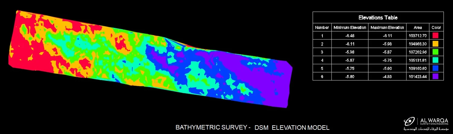
- Bathymetric depth chartDWG / GeoTIFF — SNCS coordinate system
- Digital elevation model of seabedGeoTIFF / ASCII grid
- Contour plan at specified intervals
- Cross-sections and volume calculations
- Survey report with tidal corrections
- Raw sounding data in industry formatsGSF / XYZ
Technology Stack
Industry-leading equipment and software
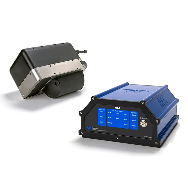
Single & Multi-Beam Echo Sounders
Advanced surveying technology for precision data capture and analysis.
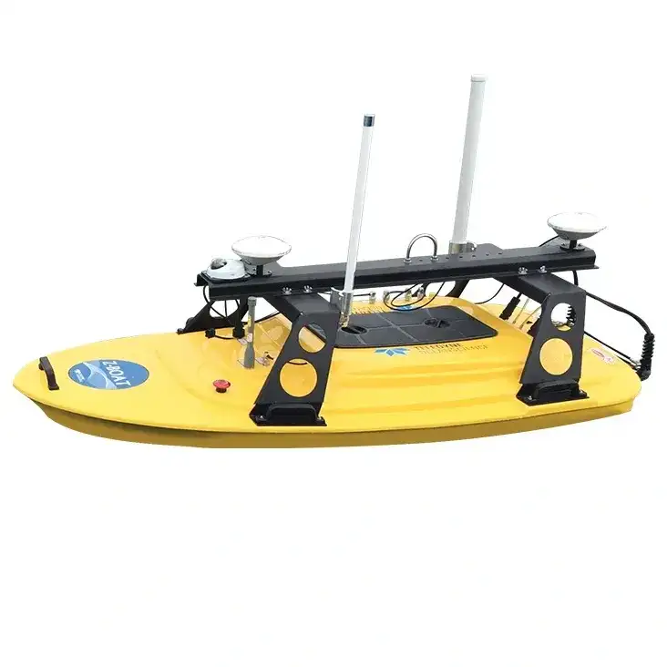
Z-Boat 1800RP USV
Advanced surveying technology for precision data capture and analysis.
Hypack / EIVA NaviPac
Advanced surveying technology for precision data capture and analysis.
Frequently Asked Questions
Yes. We have operational experience in the Red Sea, covering the Saudi western coast from Tabuk (NEOM) to Jeddah and Yanbu. Our teams are familiar with Red Sea tidal patterns, reef environments, and SNCS horizontal and vertical datums.
Our surveys comply with IHO S-44 standards. Single-beam surveys achieve ±150mm depth accuracy in open water; multi-beam surveys provide full seabed coverage at ±100mm vertical accuracy.
Yes. We have the equipment, procedures, and KSA operational experience to support NEOM, Diriyah, and other giga-project coastal and marine survey requirements.
We reference surveys to Lowest Astronomical Tide (LAT) for hydrographic charts and to the Saudi National Vertical Datum as specified by the project authority.
Have more questions?
Our team of experts is ready to assist you with your specific project requirements across the GCC.
Related Services
Explore our other professional surveying solutions
Hydrographic Survey Dubai
Marine hydrographic and bathymetric survey services in Dubai and across UAE waters. Single-beam and multi-beam sonar for seabed mapping, port surveys, and coastal projects.
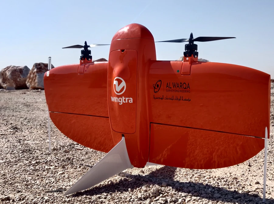
Drone Survey Saudi Arabia
GACA-approved drone survey services across Saudi Arabia. UAV photogrammetry and LiDAR for topographic mapping, construction monitoring, volume calculations, and infrastructure corridor surveys.
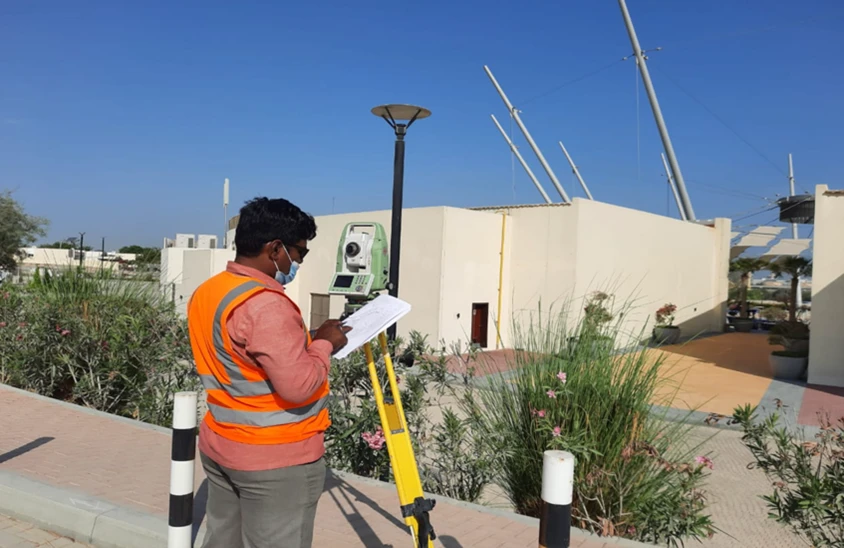
Survey Company Riyadh
Al Warqa Survey Engineering — a professional survey company in Riyadh with a permanent KSA office. Land, drone, 3D laser scanning, GIS, and BIM survey services for Saudi projects.
Contact us directly
Reach our team instantly via WhatsApp, phone, or email.
Also available in Riyadh