Topographic Survey
Topographic and contour surveys that map ground levels, natural features, and existing structures, delivered as CAD plans, terrain models, and GIS layers for design, planning, and construction.
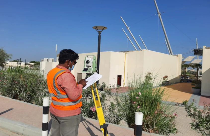
What a Topographic Survey Captures and Why Projects Need One
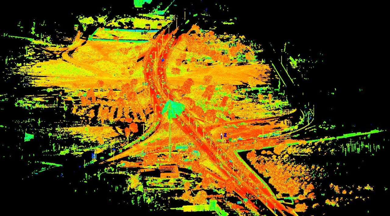
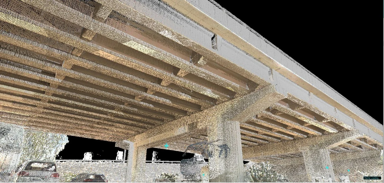
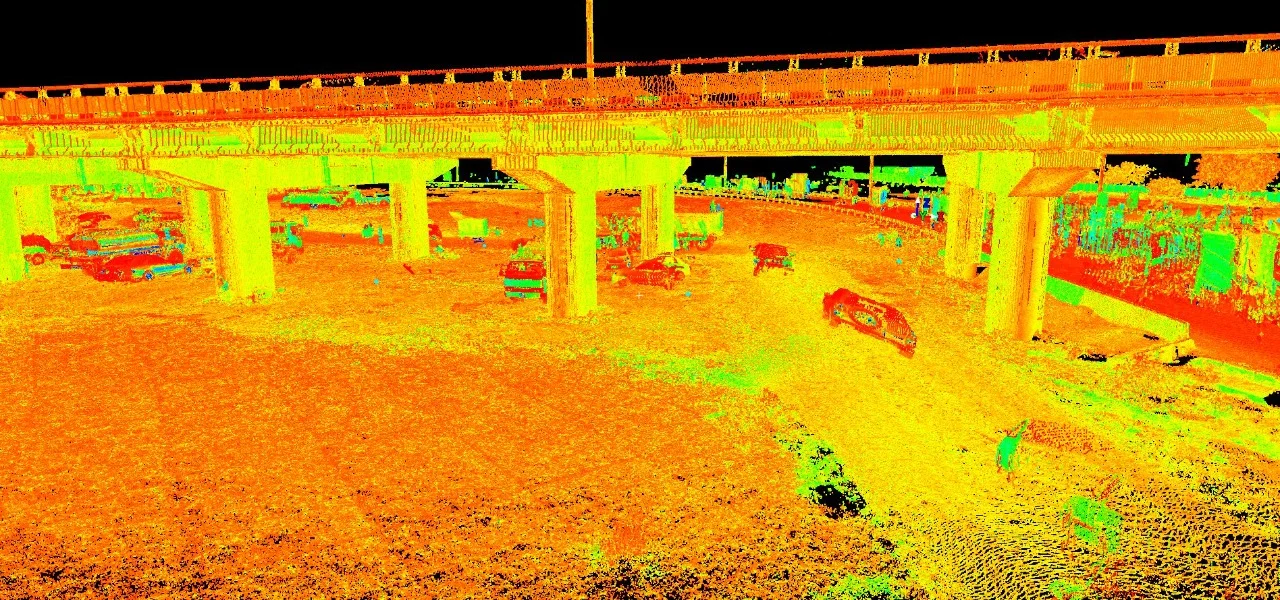
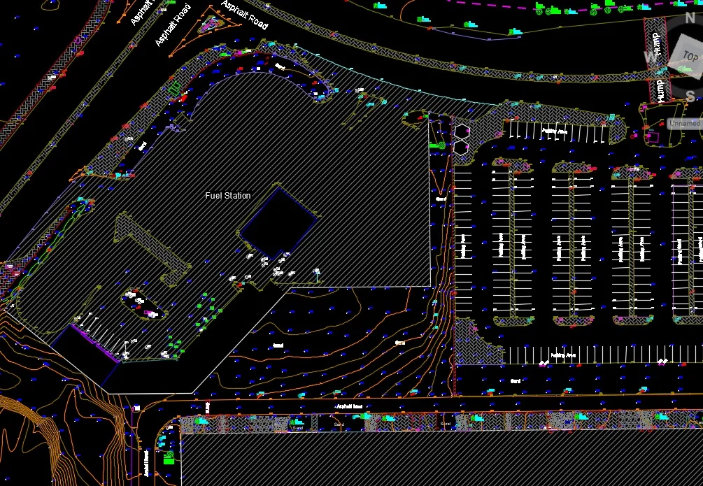
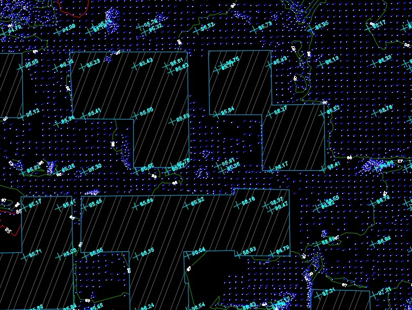
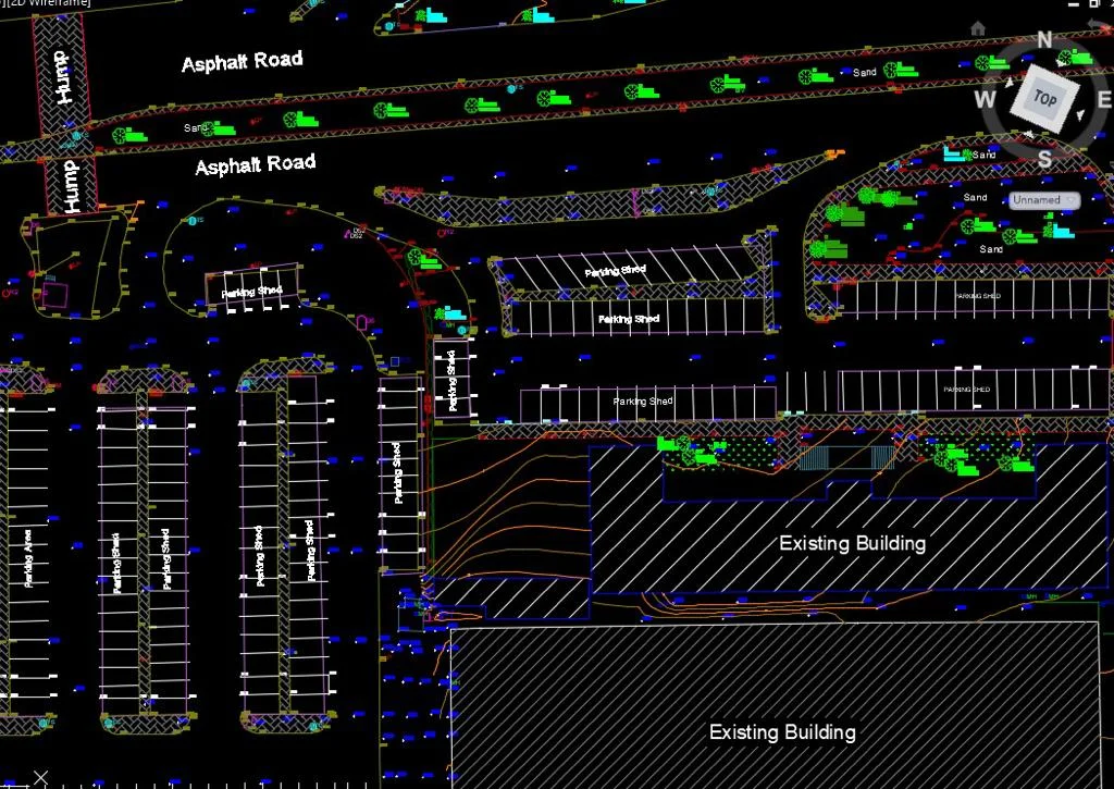
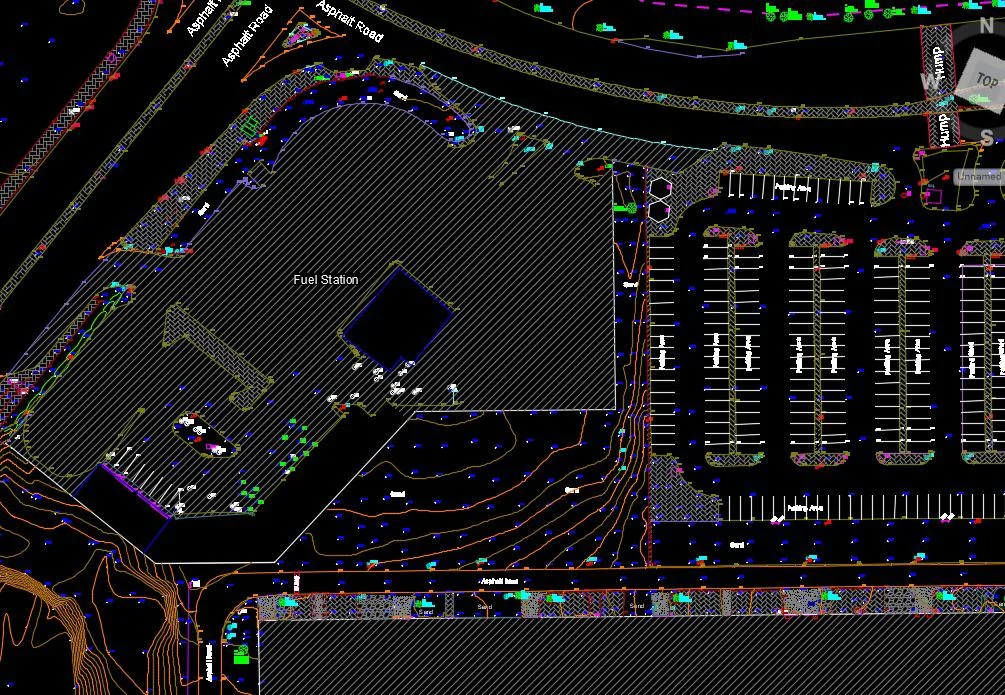
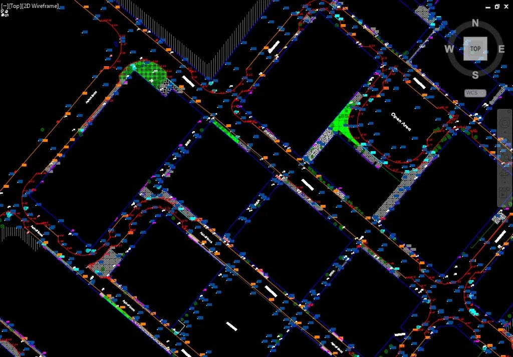
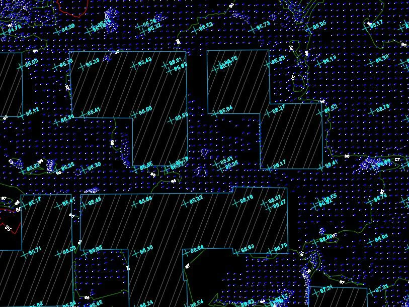
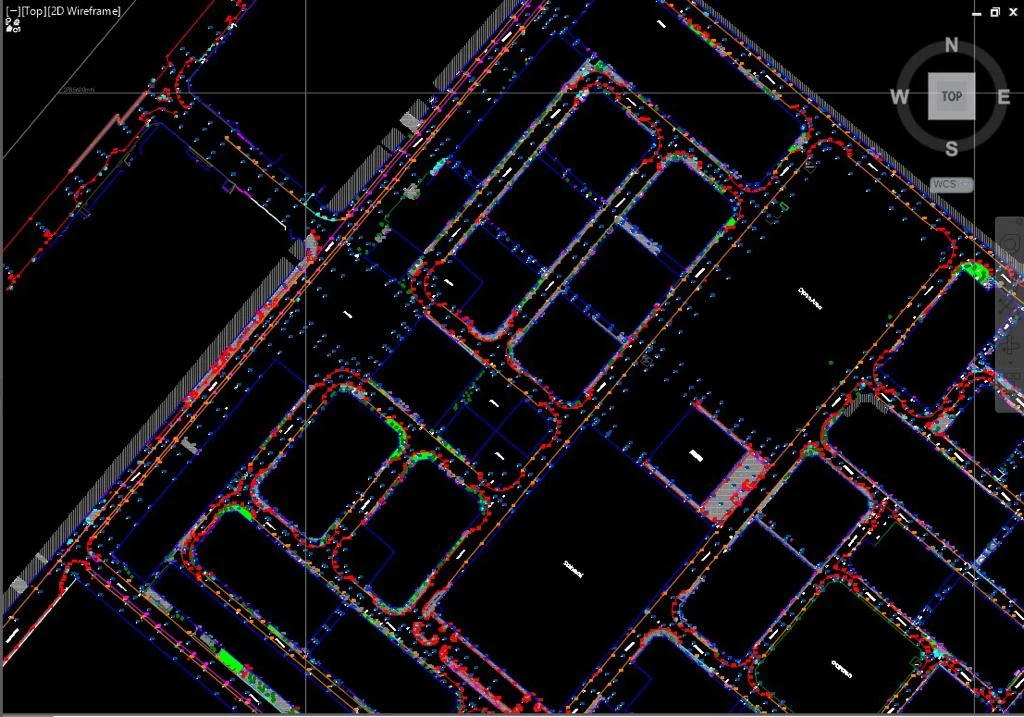
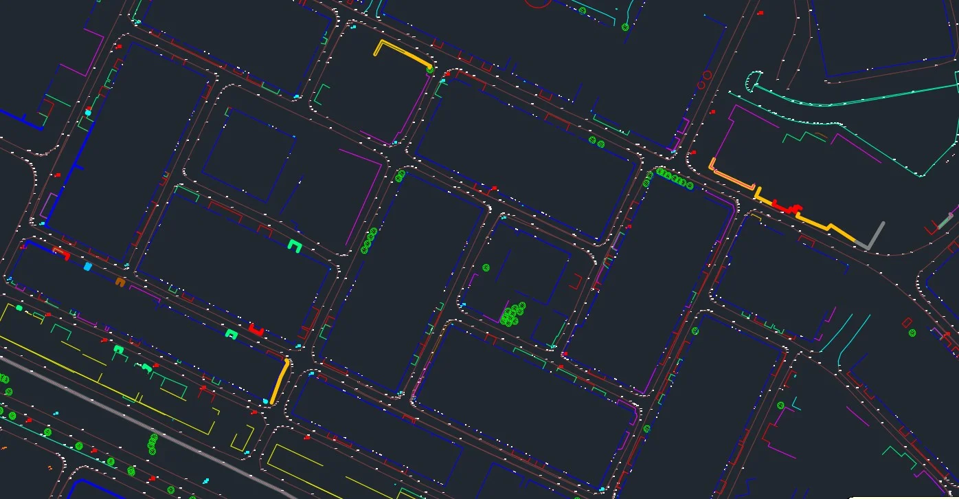
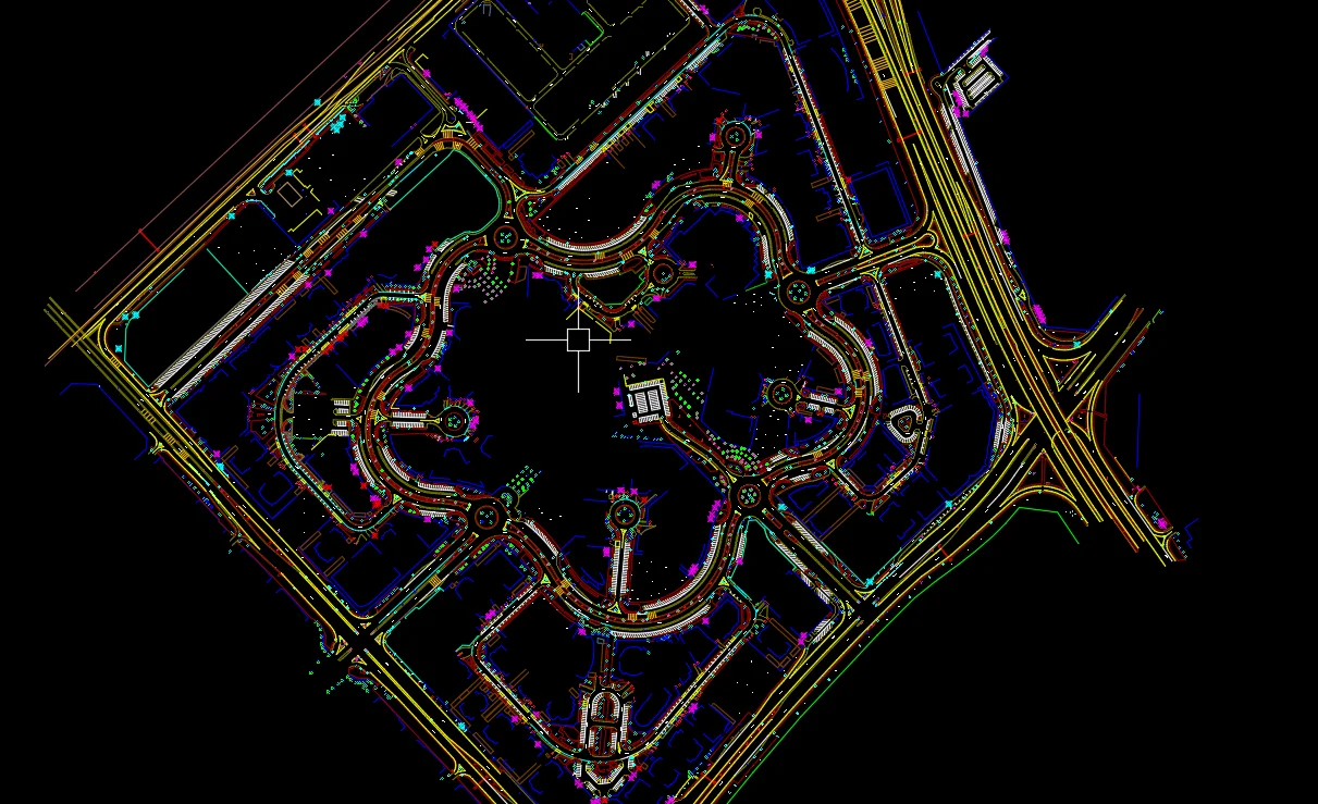
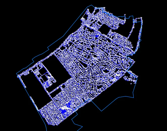
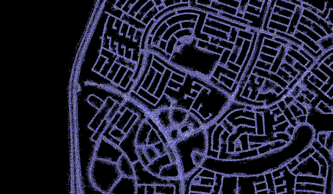
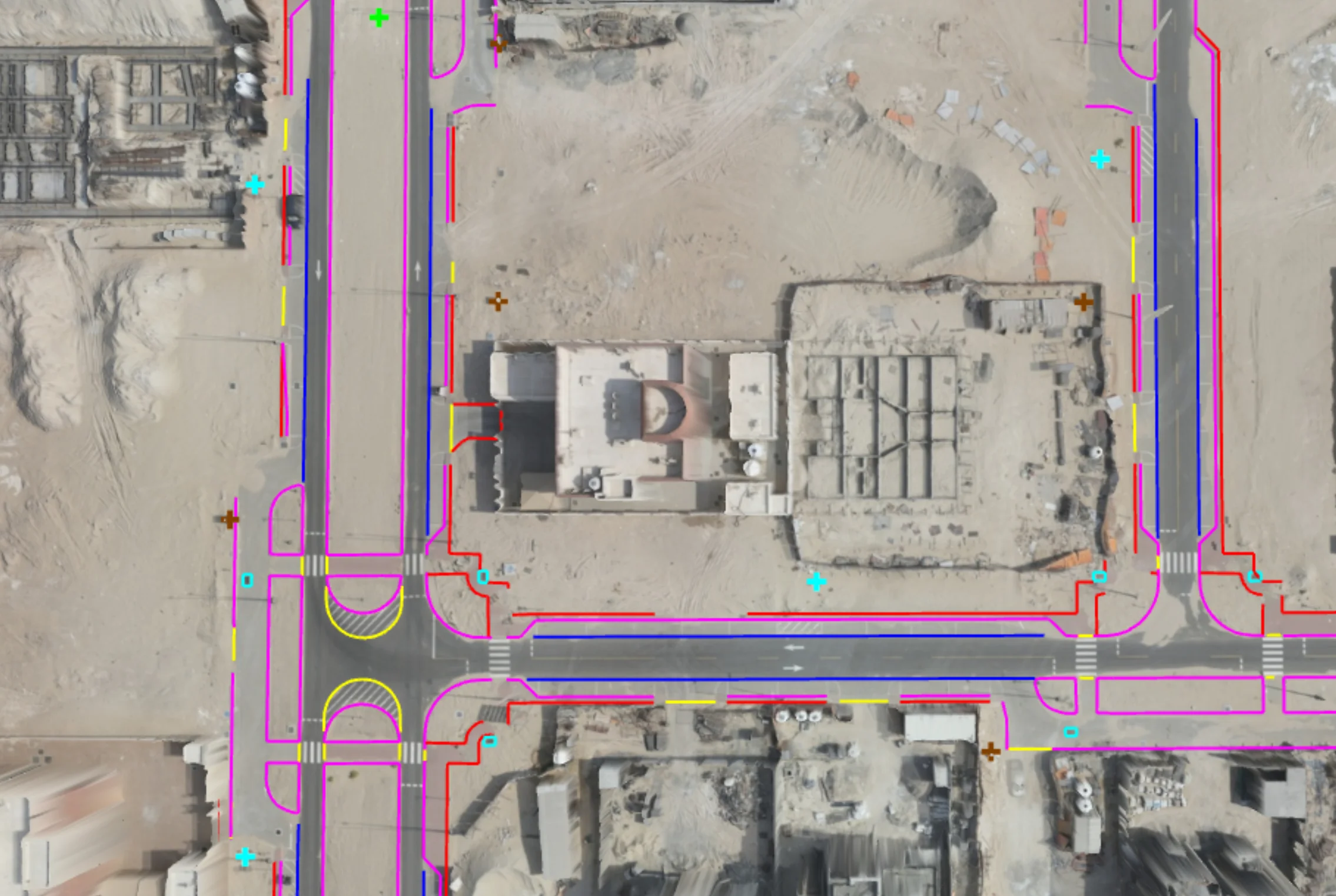
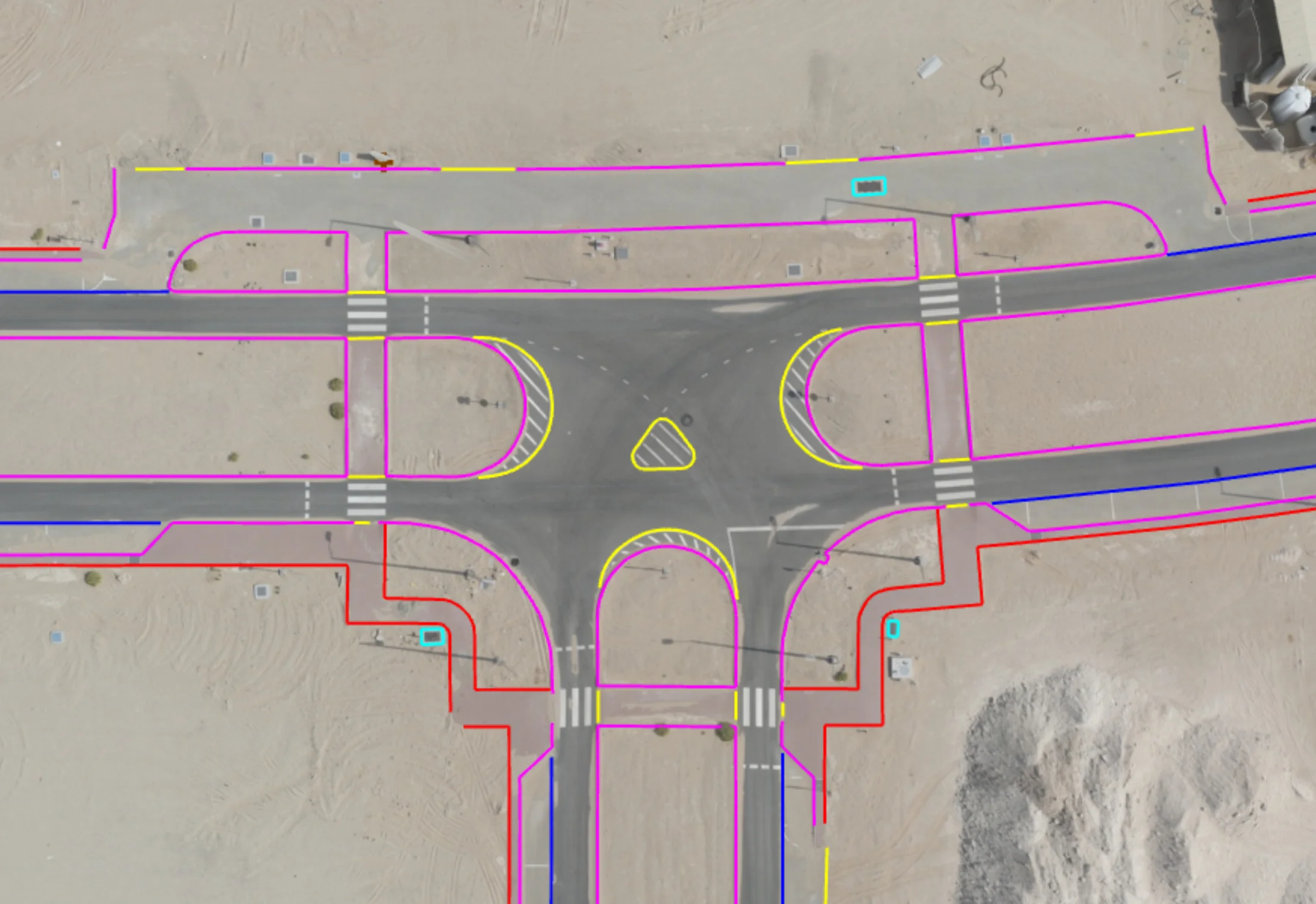
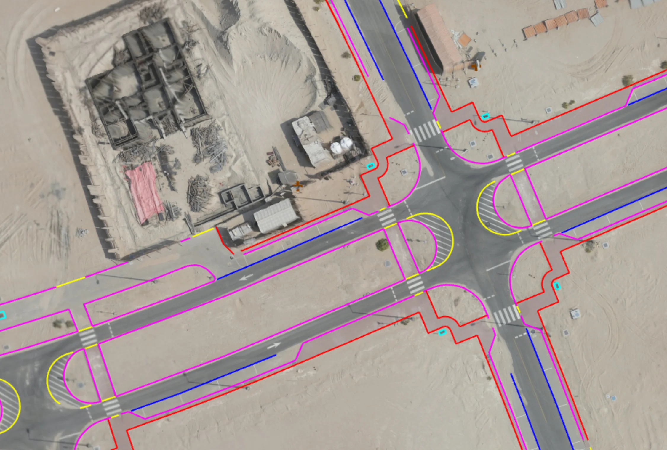
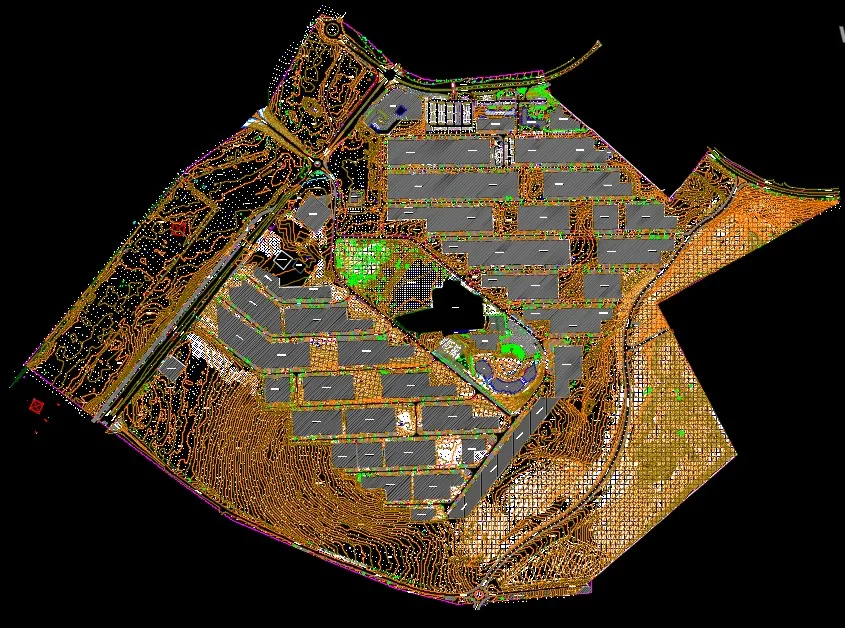
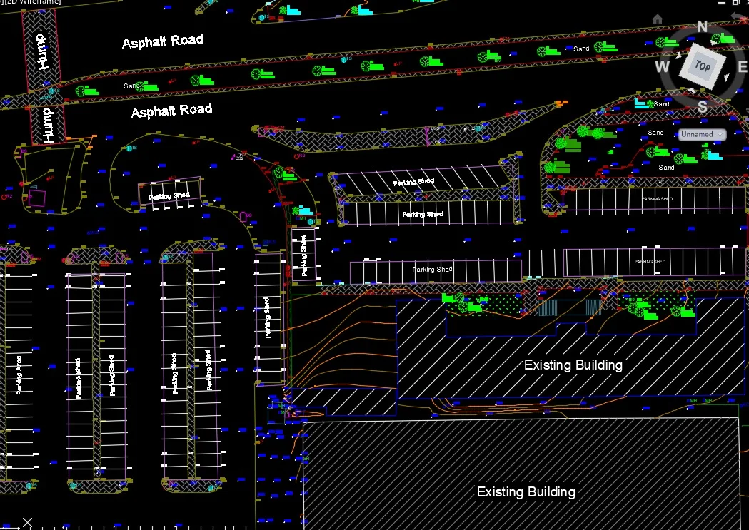
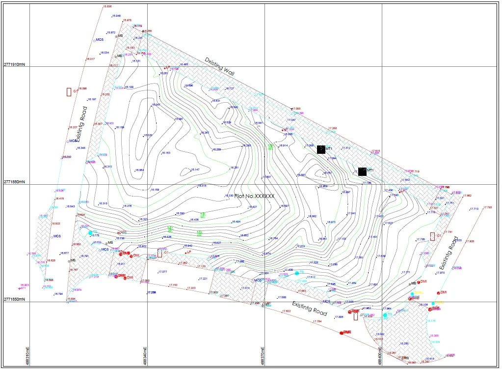
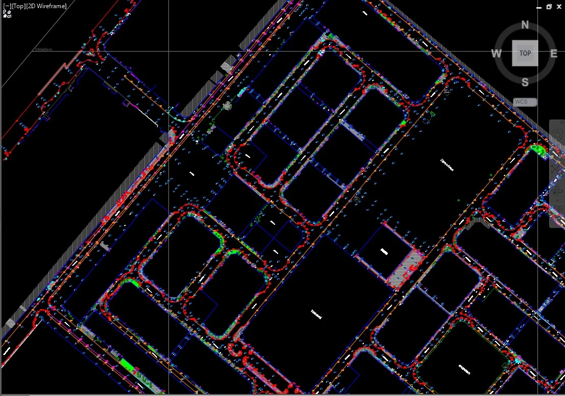
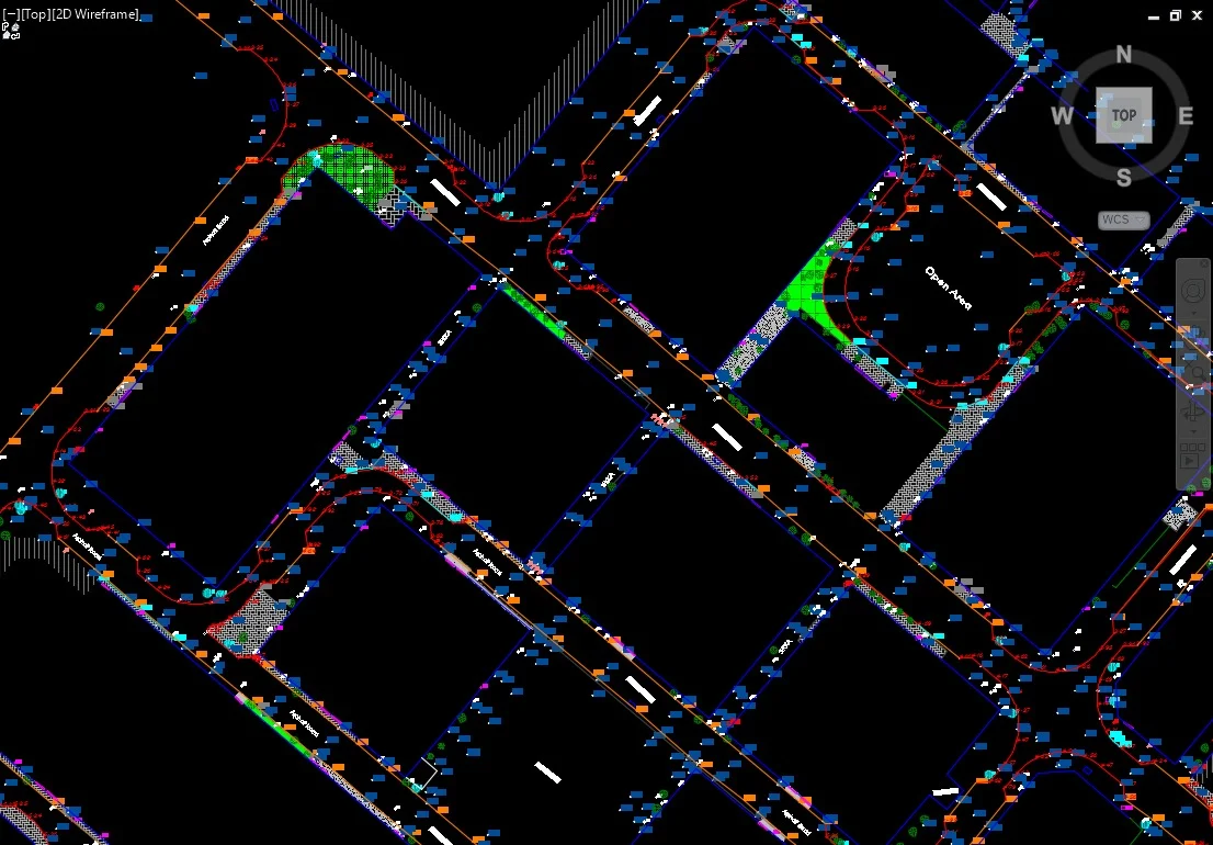
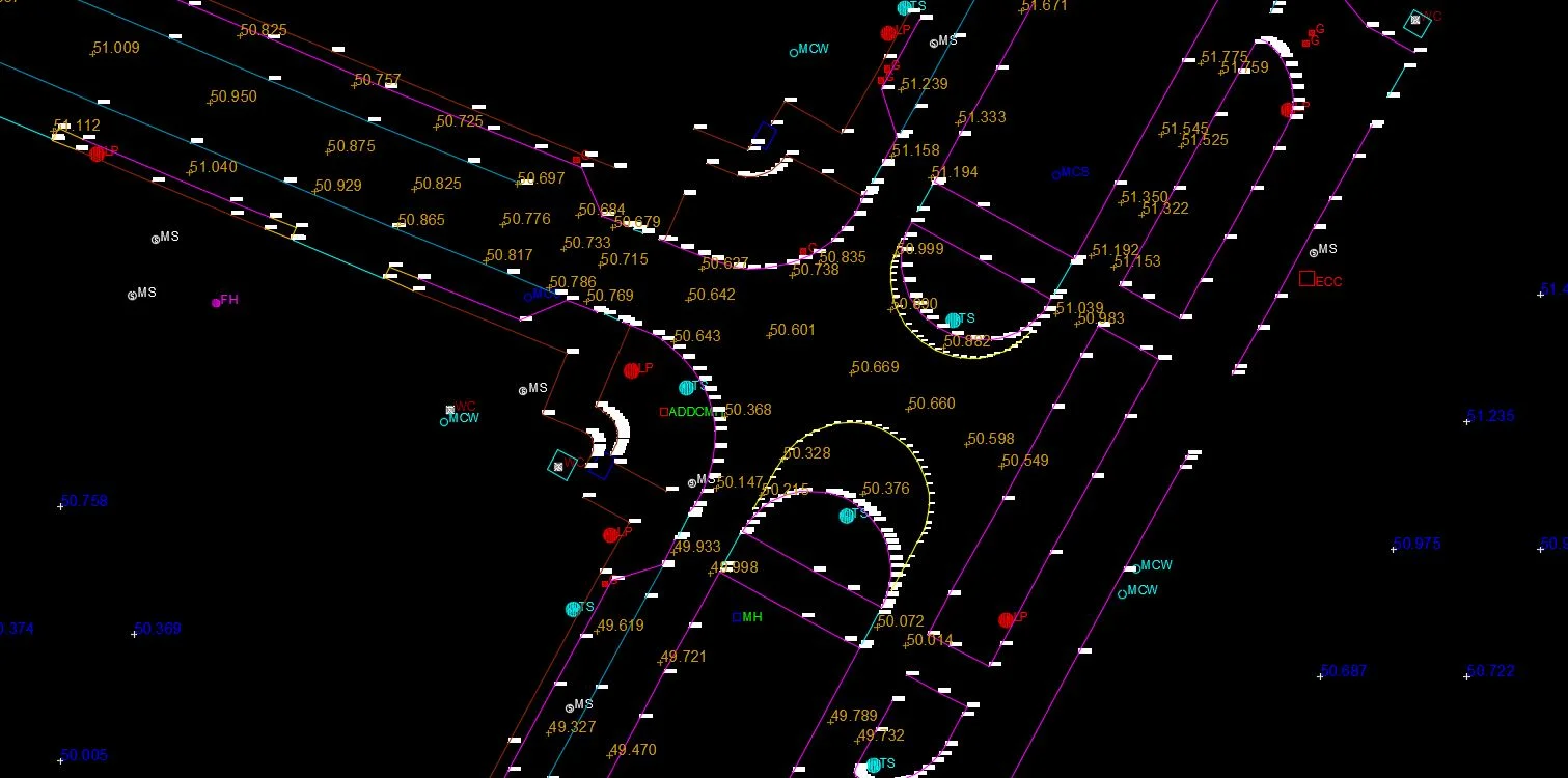
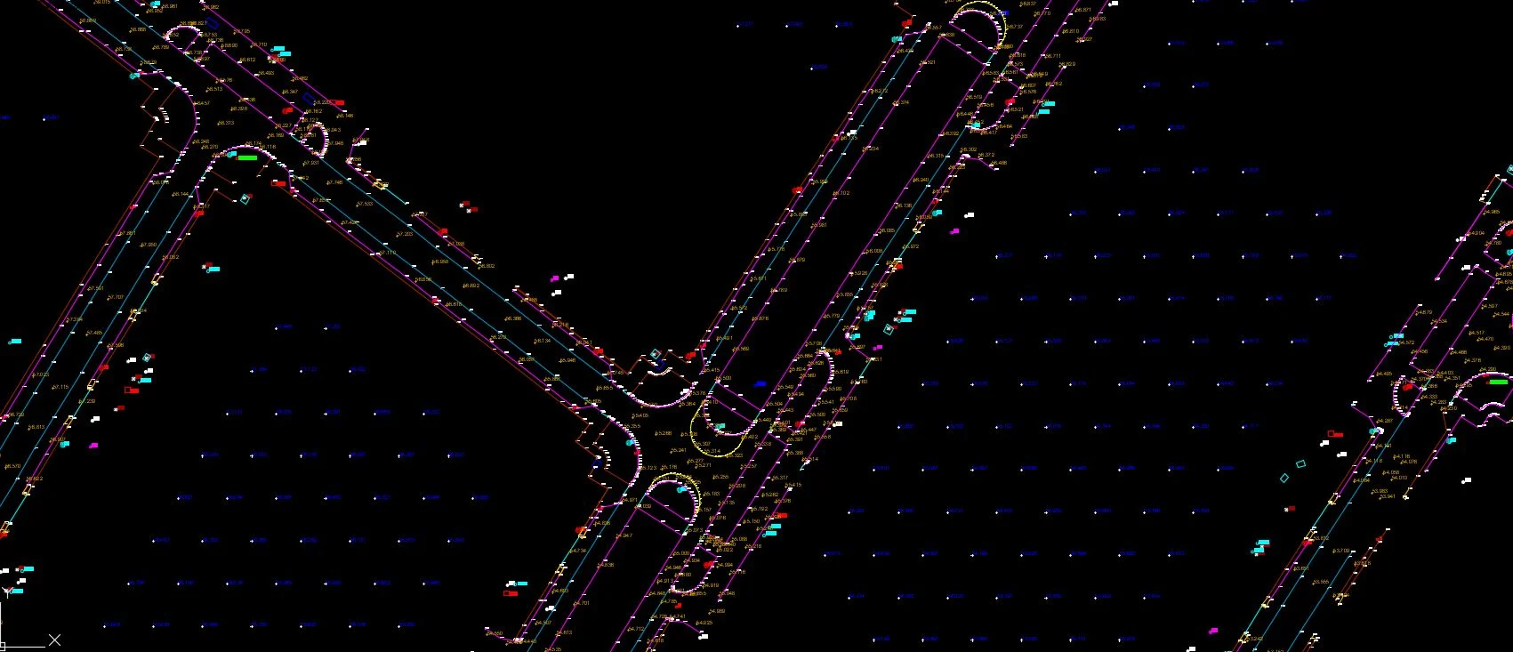
A topographic survey measures the shape and content of a site: ground levels, contours, buildings, roads, kerbs, utility covers, trees, and boundaries. The output is a scaled plan and terrain model that engineers, architects, and planners use as the base for every design decision on the site.
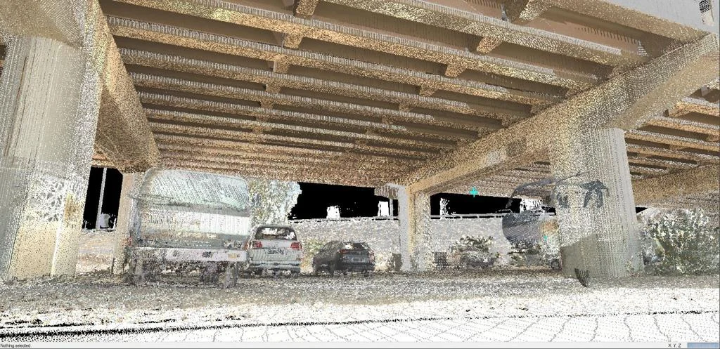
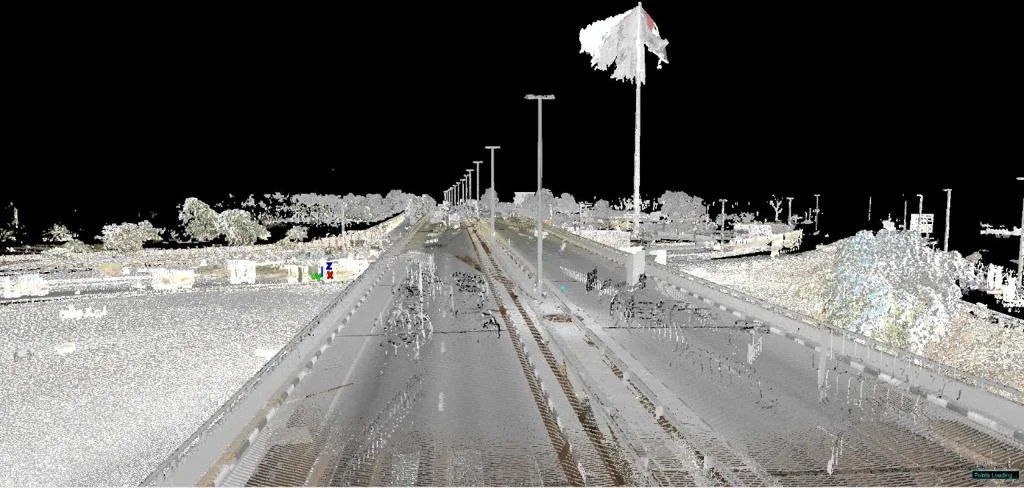
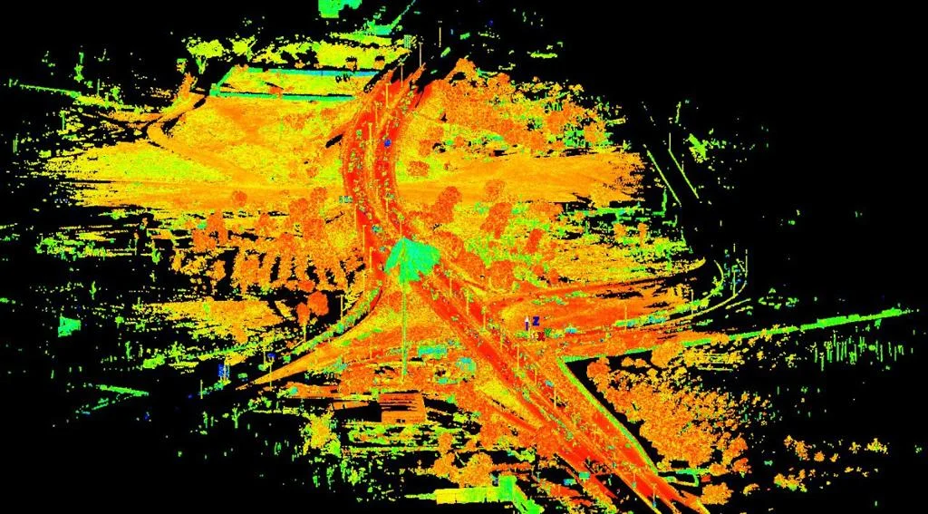
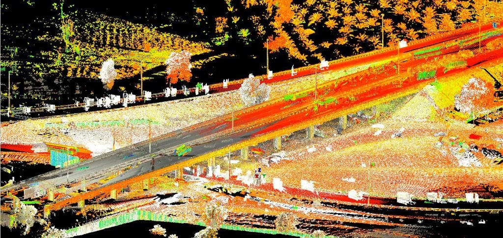
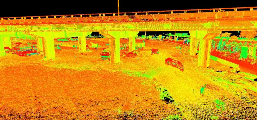
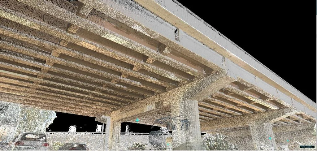
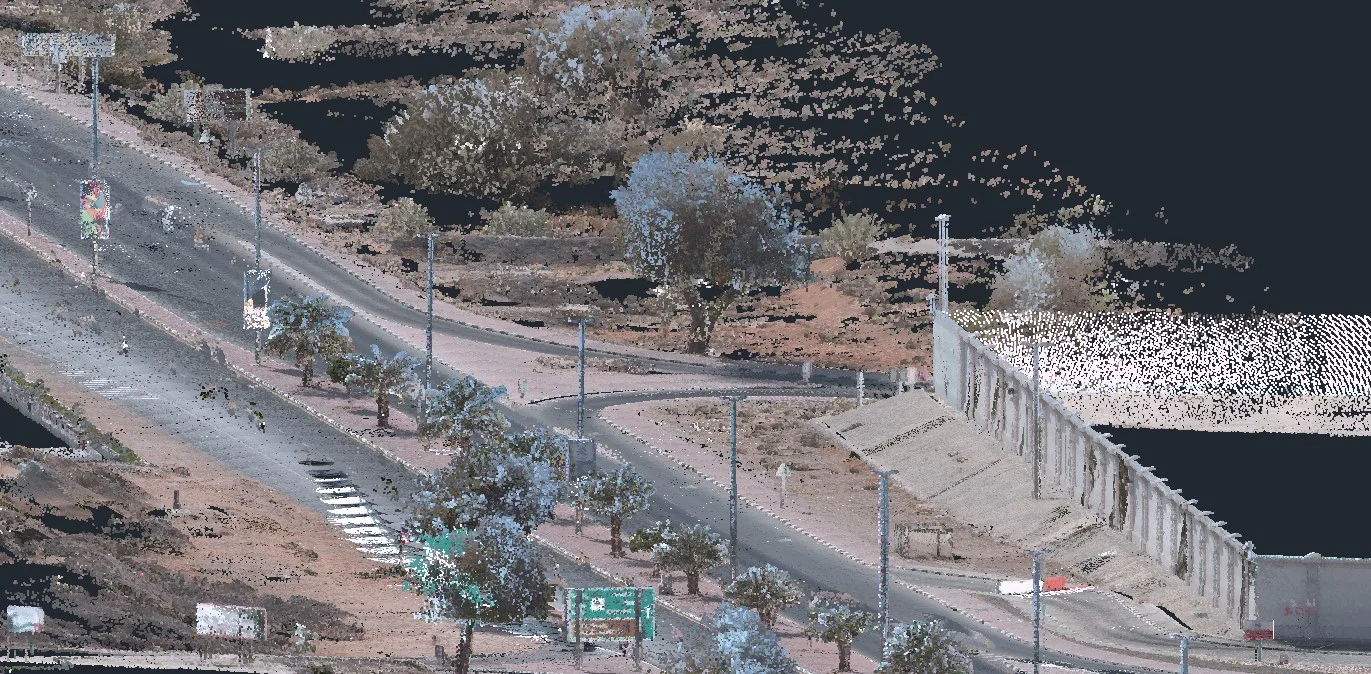
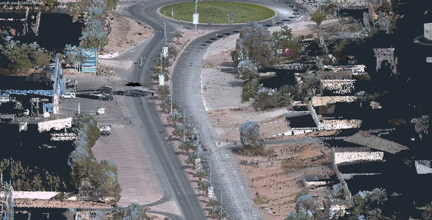
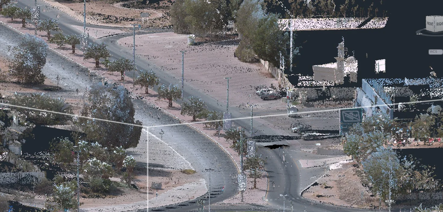
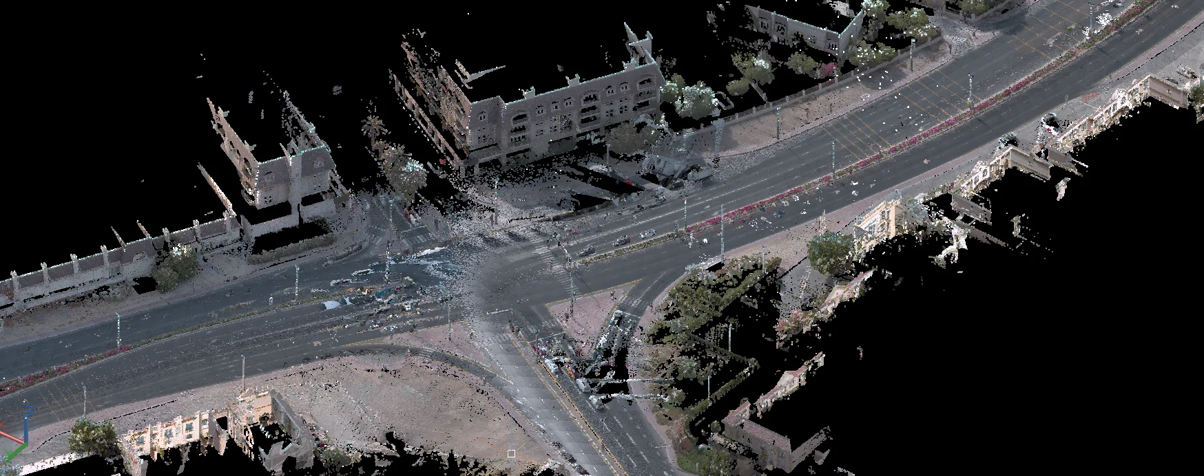
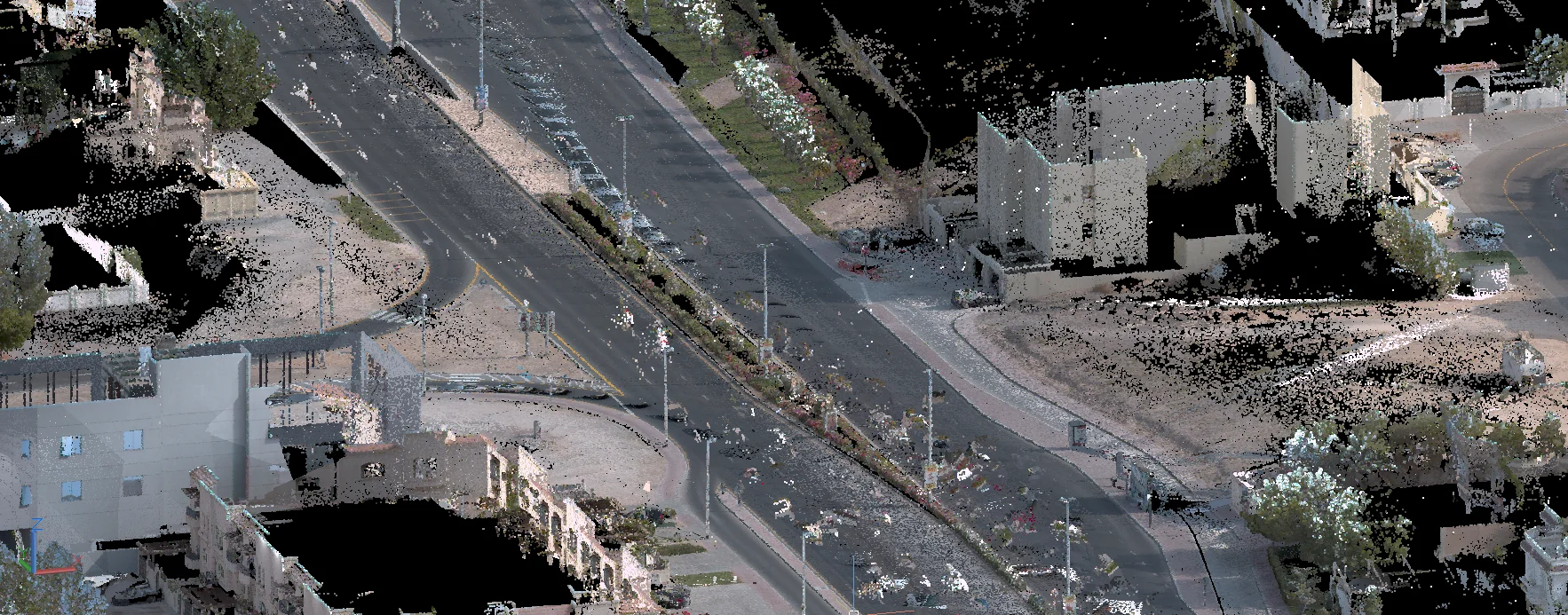
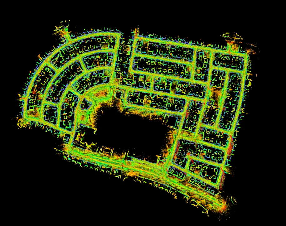
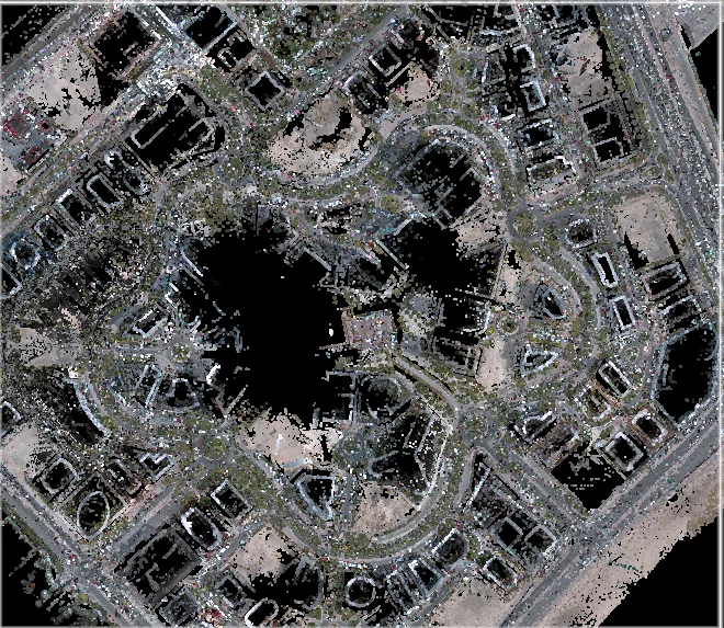
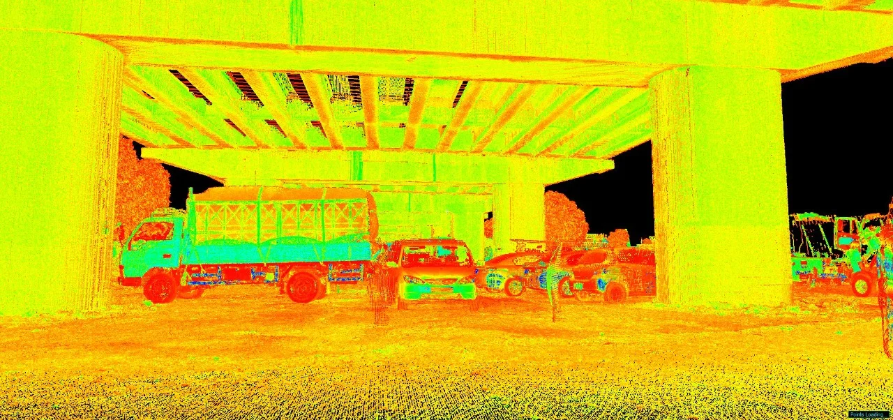
The survey method follows the site. Small plots are surveyed fully on the ground with GNSS RTK and robotic total stations. Large sites and corridors combine drone photogrammetry with ground control, adding total station detail wherever precision matters, such as kerbs, building corners, and drainage inverts.
Al Warqa Survey Engineering runs survey teams from offices in Dubai, Abu Dhabi, and Riyadh. Each survey is referenced to the coordinate system the local authority requires: the Dubai Local Coordinate System (DLCS) in Dubai and the Saudi National Coordinate System (SNCS) in Saudi Arabia. Choose your location above for local approvals and requirements.
Our Methodology
Delivering excellence through a proven three-stage workflow
Control & Datum
Horizontal and vertical control tied to the national or project datum, so every level and coordinate lines up with design and authority records.
Ground and Aerial Capture
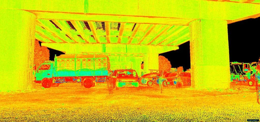
GNSS and total station for detail and hard features; drone photogrammetry for large or open areas, checked against ground control.
Plan, Model & QA
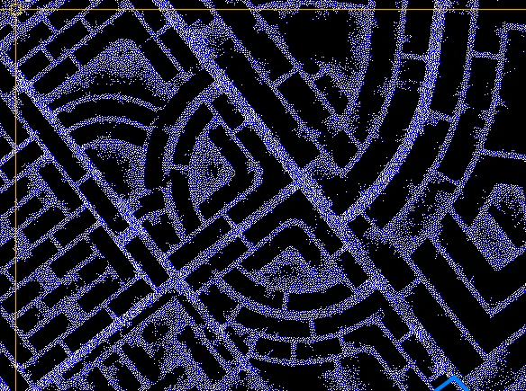
Field data processed into topographic plans, contours, and terrain models, then checked by a senior surveyor before delivery.
Applications
Industry sectors and use cases we serve
Design Base Maps
Existing levels and features for civil, structural, and MEP design
Permit & Planning Submissions
Authority-format survey plans for building permits and master plans
Roads, Utilities & Corridors
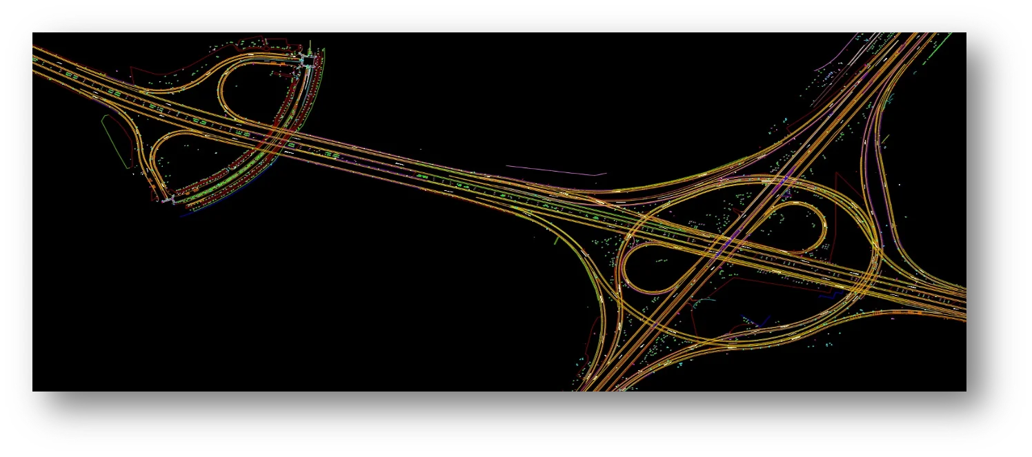
Existing conditions for road, drainage, and utility design
Earthworks & Grading
Ground models for cut-and-fill, grading, and flood studies
Pre-Construction Records
Documented ground levels before any work starts on site
Deliverables
What you receive at the end of every project
- Topographic survey planDWG / DXF in the required coordinate system
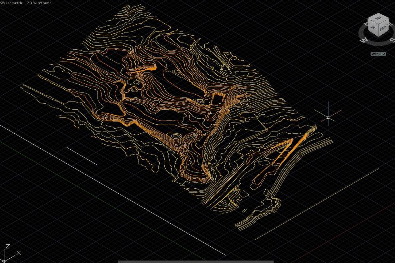
- Contour lines at the required interval
- Spot levels and level grid
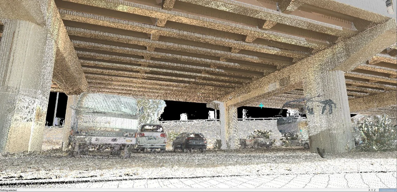
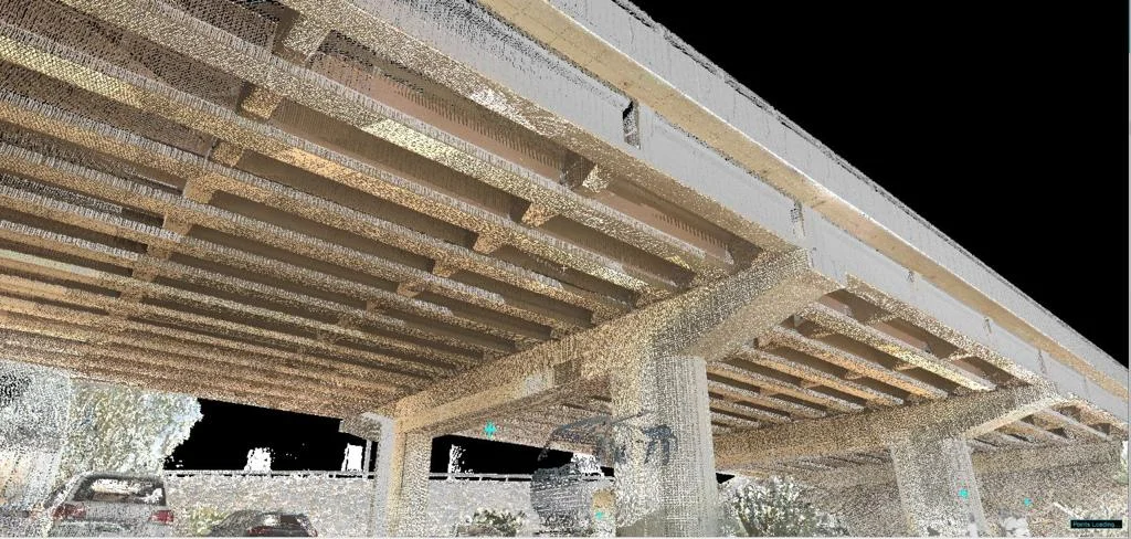
- Digital Terrain Model (DTM)
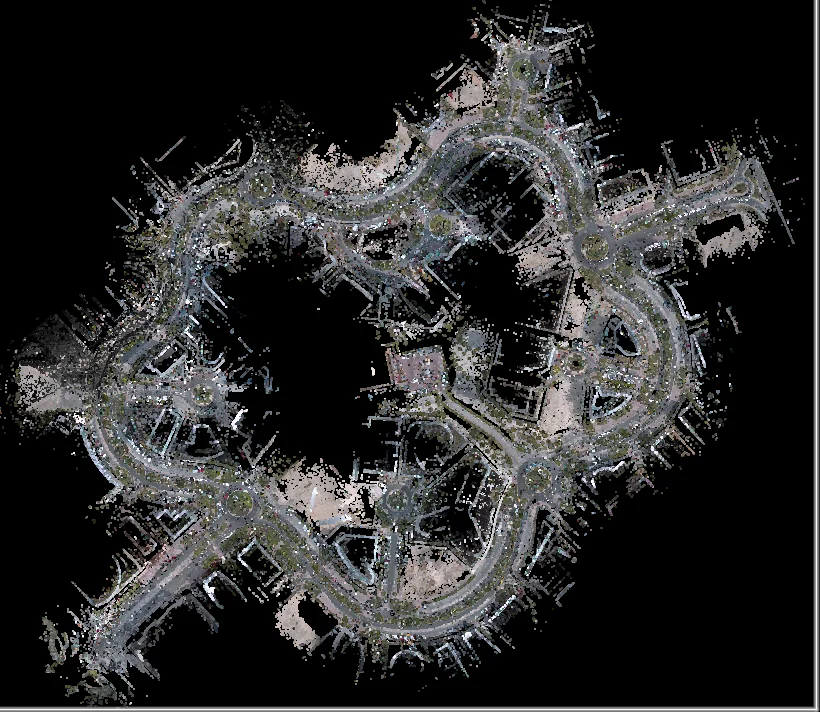
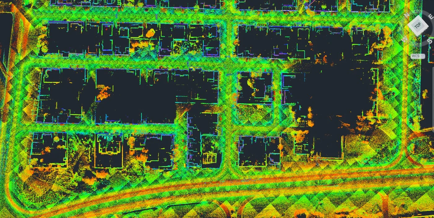
- Drone orthophoto and DSM for large sitesGeoTIFF
- GIS layersSHP / Geodatabase
- Survey report with accuracy statement
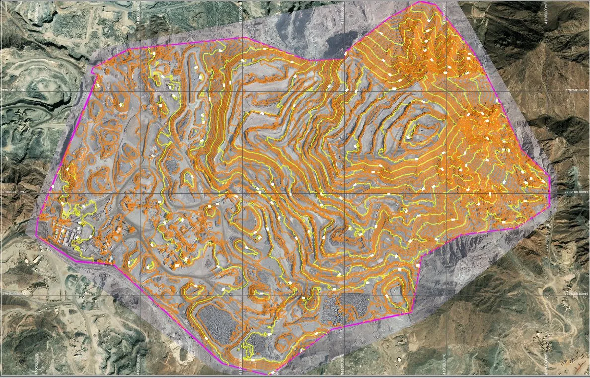
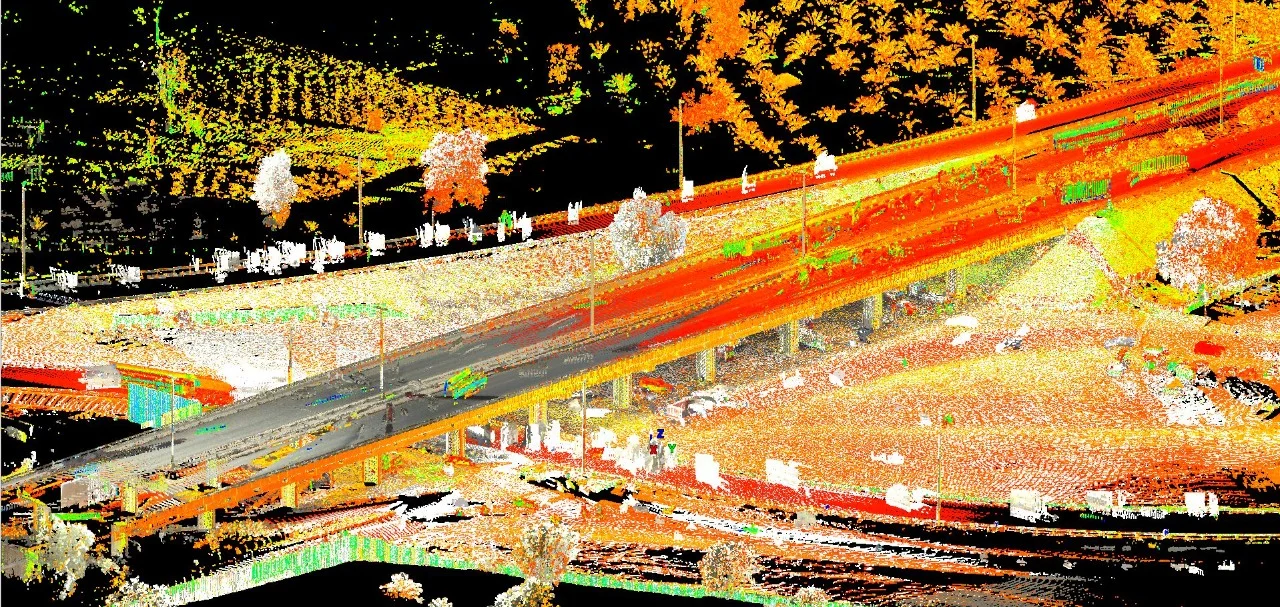



Technology Stack
Industry-leading equipment and software
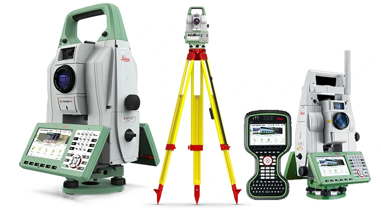
Leica TS16 Total Station
Advanced surveying technology for precision data capture and analysis.
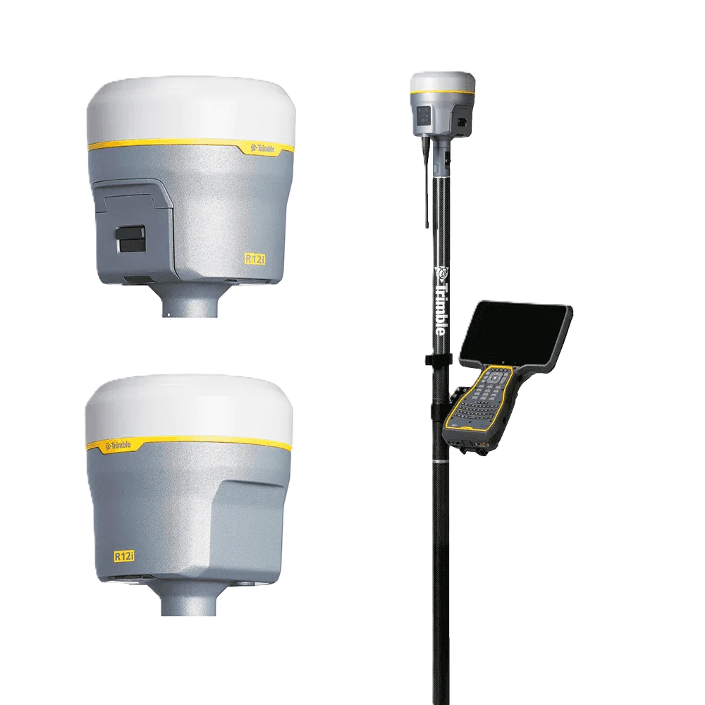
Trimble R12 GNSS
Advanced surveying technology for precision data capture and analysis.
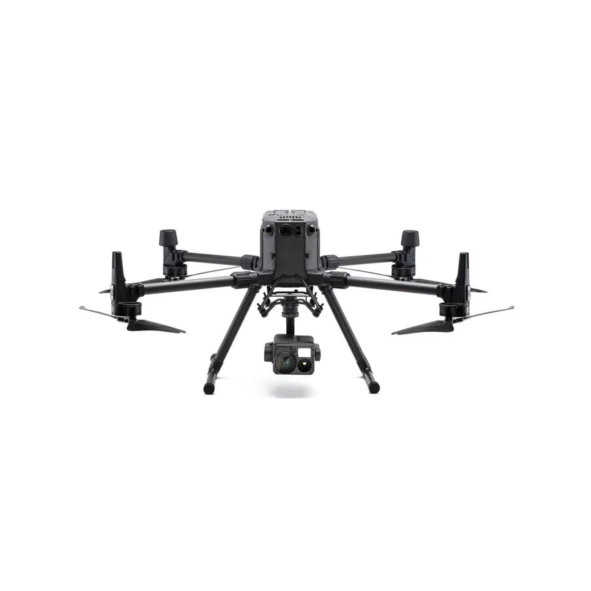
DJI Phantom 4 RTK
Advanced surveying technology for precision data capture and analysis.
AutoCAD Civil 3D
Advanced surveying technology for precision data capture and analysis.

Global Mapper
Advanced surveying technology for precision data capture and analysis.
Frequently Asked Questions
Ground levels, contours, buildings and structures, roads and kerbs, visible utility features, trees, fences, and boundary features, all plotted to scale with coordinates and levels. The exact feature list is agreed before fieldwork so the plan matches what your designer needs.
A topographic survey maps the shape and features of the ground. A land survey is the wider term and also covers boundary, cadastral, setting-out, and as-built work. Many projects need both: a topographic survey for design, then setting-out and as-built surveys during construction.
Yes. Topographic survey, topographical survey, and contour survey describe the same work. Contours are one of the deliverables of a topographic survey.
For large sites, open terrain, and corridors, drone photogrammetry captures the ground much faster than walking it. We still survey ground control and hard detail with GNSS and total station, so the final plan meets engineering accuracy.
Yes. Our Dubai and Abu Dhabi teams cover the UAE, and our Riyadh team covers Saudi Arabia. Each delivers in the coordinate system and format the local authority requires.
Have more questions?
Our team of experts is ready to assist you with your specific project requirements across the GCC.
Related Services
Explore our other professional surveying solutions
Land Survey
Land surveying for construction, development, and infrastructure: boundary and cadastral surveys, setting-out, and as-built surveys, delivered by licensed surveyors with authority-ready drawings.

Aerial Drone Mapping
High-resolution aerial data acquisition for terrain modeling, volumetric analysis, and site documentation.
GIS & Geospatial Solutions
Structured geospatial data management, mapping, and spatial analysis services for infrastructure and asset systems.
Contact us directly
Reach our team instantly via WhatsApp, phone, or email.
Also available in Riyadh