NDRC – Non-Destructive Road Crossing (Survey Monitoring)
Precision survey monitoring and level verification services for HDD and trenchless road crossing works.
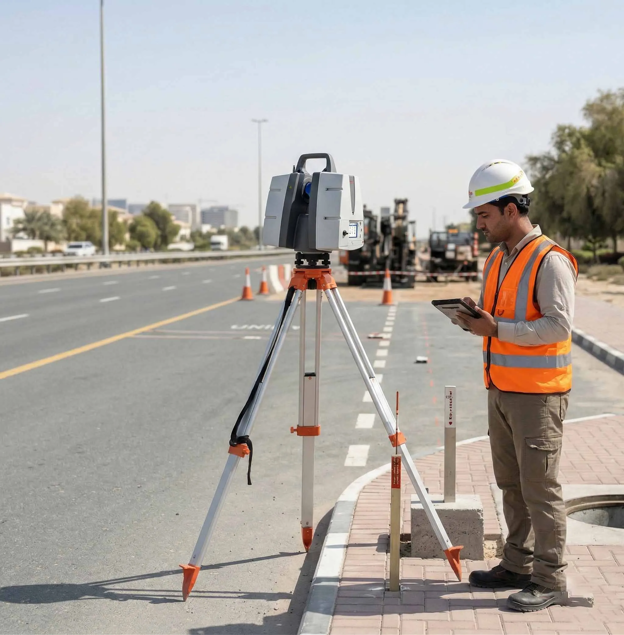
Independent Survey Support for Trenchless Crossings
We provide independent survey services to support non-destructive road crossing (HDD) operations. Our role focuses on alignment control, pre-drive and post-drive level verification, and positional validation of installed utilities to ensure compliance with approved design profiles and tolerances.
Our Methodology
Delivering excellence through a proven three-stage workflow
Pre-Drive Control & Level Survey
Establishment of horizontal and vertical control points, recording baseline ground levels, alignment benchmarks, and approved design references.
Alignment & Level Monitoring During Drive
Ongoing verification of bore alignment and elevation using total station measurements and millimeter-accuracy 3D laser scanning for critical sections.
Post-Drive Verification & Reporting
Measurement of final installed utility position, longitudinal profile validation, and deviation comparison against approved drawings.
Applications
Industry sectors and use cases we serve
Utility Crossings Beneath Roadways
Verifies depth and alignment of installed services
Highway & Major Infrastructure Projects
Ensures compliance with approved crossing profiles and safety requirements
Urban HDD Installations
Provides precision monitoring where excavation is restricted
Trenchless Utility Installations
Confirms positional accuracy of bored installations
Deliverables
What you receive at the end of every project
- Pre-drive level and control survey report
- Post-drive alignment and level verification report
- Longitudinal profile drawings
- Crossing alignment plansDWG / DXF
- Deviation comparison summary
- 3D scan dataset (if required)
- Survey report with documented tolerances
Technology Stack
Industry-leading equipment and software
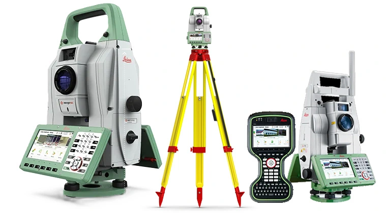
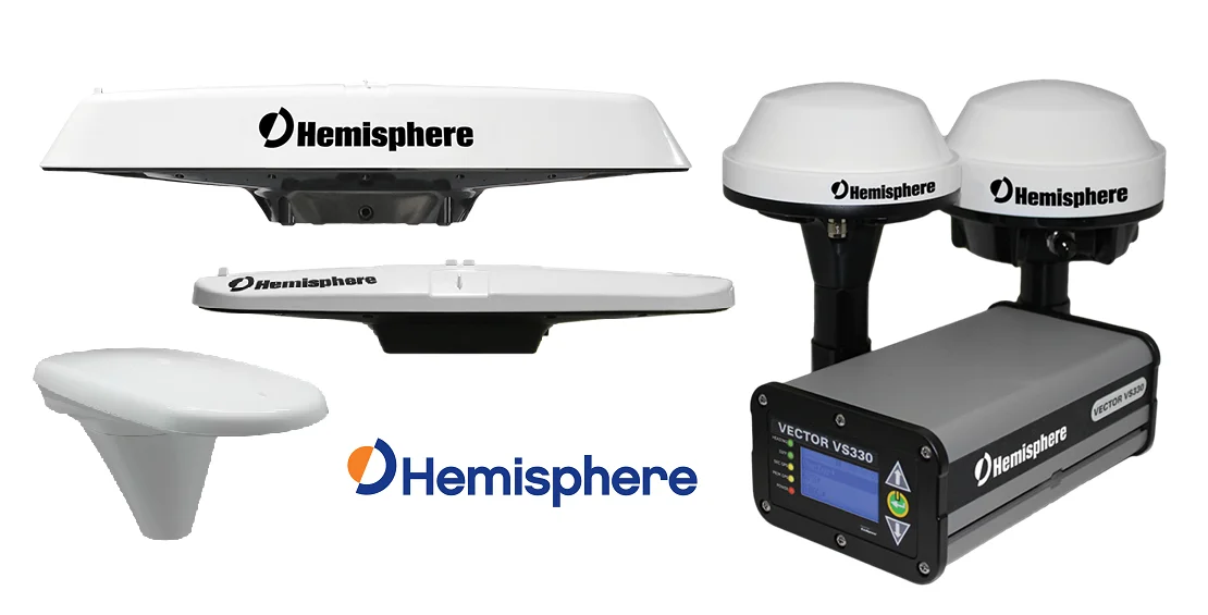
GNSS & Total Stations
Advanced surveying technology for precision data capture and analysis.
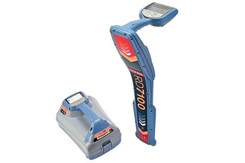
Bore Tracking Systems
Advanced surveying technology for precision data capture and analysis.
Gyroscopic Survey Tools
Advanced surveying technology for precision data capture and analysis.
AutoCAD Civil 3D
Advanced surveying technology for precision data capture and analysis.

Trimble Business Center
Advanced surveying technology for precision data capture and analysis.
Frequently Asked Questions
NDRC uses trenchless methods like HDD to install utilities beneath roads without excavation, minimizing traffic disruption and surface damage.
Our tracking systems achieve positional accuracy of ±5cm, ensuring the bore follows the designed alignment precisely.
Yes, we provide continuous positional data during drilling so the operator can make corrections in real-time.
We support HDD, pipe jacking, microtunneling, and auger boring operations for water, sewer, telecom, and power utilities.
Have more questions?
Our team of experts is ready to assist you with your specific project requirements across the GCC.
Related Services
Explore our other professional surveying solutions
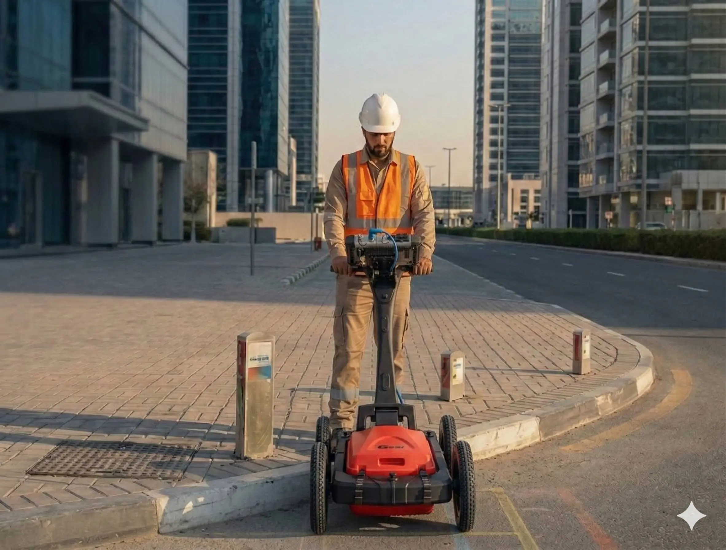
Underground Utility Survey Dubai
Non-destructive underground utility surveys and GPR scanning in Dubai. Detection and mapping of buried water, drainage, telecoms, and power cables before excavation — GSSI GPR and electromagnetic locators.
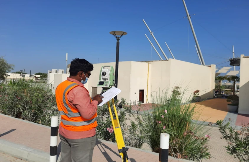
Land Survey Dubai
Professional land survey services in Dubai for construction, development, and infrastructure projects. Authority-approved, ISO-certified, 25+ years experience.
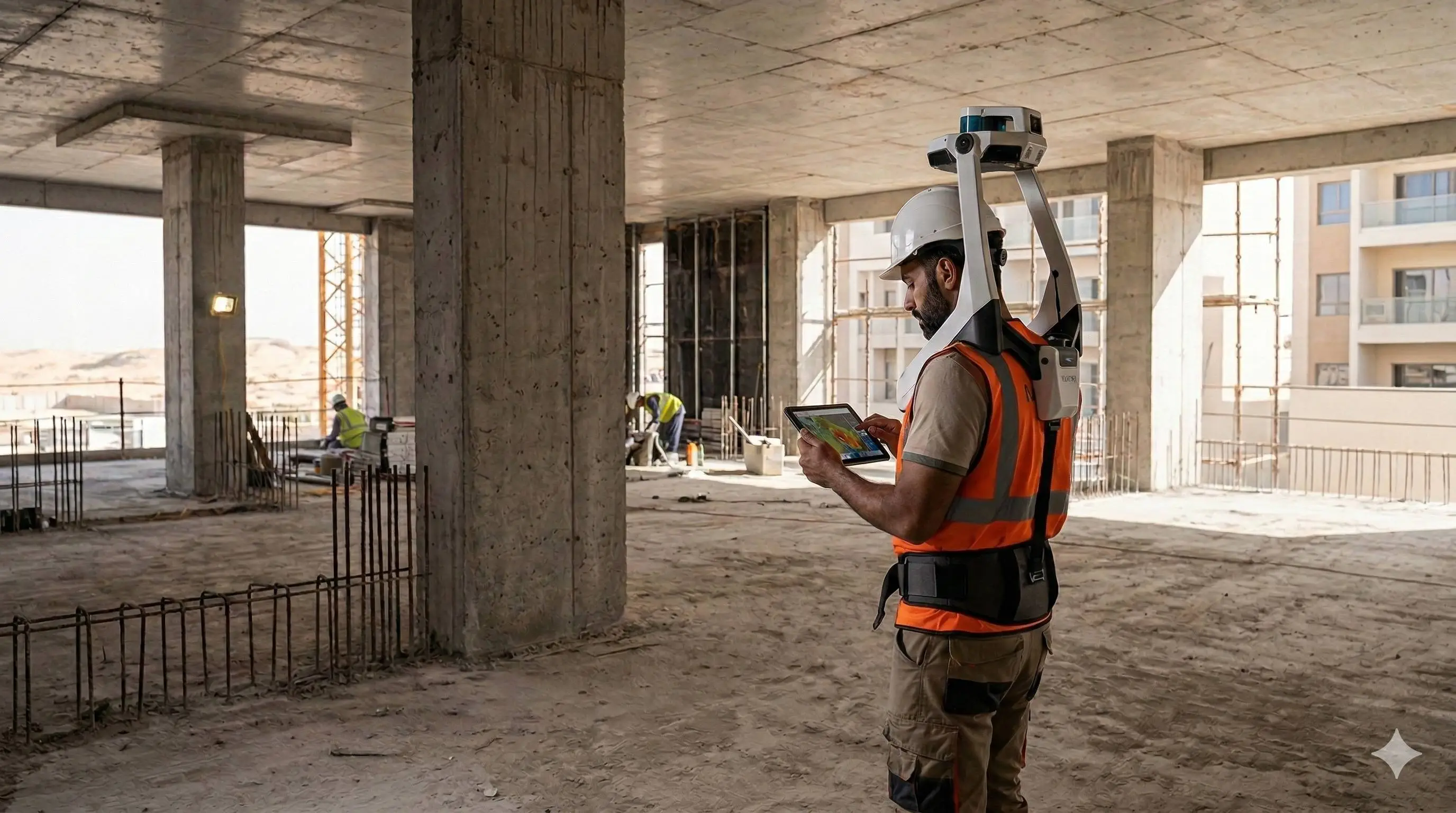
As-Built Survey Dubai
Accurate as-built surveys in Dubai documenting completed construction against approved designs. CAD drawings and point cloud capture for authorities, developers, and contractors.
Contact us directly
Reach our team instantly via WhatsApp, phone, or email.
Also available in Riyadh