GIS Services in Ras Al Khaimah
Geospatial mapping, spatial analysis, and GIS database development services for infrastructure, utilities, and land management in Ras Al Khaimah.
GIS & Geospatial Solutions in Ras Al Khaimah
GIS services in Ras Al Khaimah support municipalities, developers, and infrastructure operators with structured spatial data systems. From utility network mapping to land-use analysis and authority submissions, our geospatial workflows are aligned with RAK government standards and data formats.
Al Warqa Survey Engineering delivers end-to-end GIS solutions — from field data collection through geodatabase development to web-based visualization platforms — across Ras Al Khaimah and the northern Emirates.
Our Methodology
Delivering excellence through a proven three-stage workflow
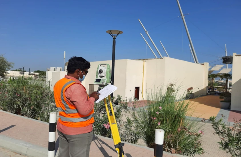
Data Collection & Georeferencing
Field surveys and existing data import aligned to RAK coordinate systems.
Geodatabase Development
Structured GIS layers, attribute tables, and spatial relationships built to project specifications.
Analysis & Delivery
Spatial analysis, map production, and system handover with training.
Applications
Industry sectors and use cases we serve
Utility Network GIS Mapping
Maps water, power, and drainage networks into structured spatial layers
Land & Property Information Systems
Manages cadastral and land-use data for RAK authority submissions
Infrastructure Asset Management
Supports tracking of roads, bridges, and public facilities
Environmental & Planning Studies
Spatial analysis for development planning and environmental assessment
Deliverables
What you receive at the end of every project
- GIS geodatabase in standard formats (SHP/GDB)
- Thematic and analytical maps
- Structured spatial layers with attributes
- CAD-to-GIS conversion outputs
- Web GIS-ready datasets
- Spatial analysis reports
Technology Stack
Industry-leading equipment and software
ArcGIS Enterprise
Advanced surveying technology for precision data capture and analysis.
QGIS
Advanced surveying technology for precision data capture and analysis.
PostgreSQL/PostGIS
Advanced surveying technology for precision data capture and analysis.
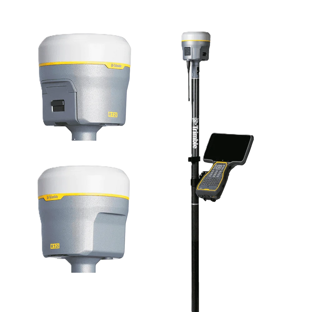
Trimble GNSS
Advanced surveying technology for precision data capture and analysis.

Python & FME
Advanced surveying technology for precision data capture and analysis.
Frequently Asked Questions
Yes, our GIS deliverables are structured to comply with Ras Al Khaimah Municipality spatial data standards and submission requirements.
Yes, we support data migration and integration with existing municipal and authority GIS platforms used in the northern Emirates.
We cover all areas across RAK including Al Nakheel, Al Qawasim, Al Uraibi, industrial zones, and coastal areas.
Yes, we offer maintenance contracts for periodic data updates, layer additions, and platform support.
Have more questions?
Our team of experts is ready to assist you with your specific project requirements across the GCC.
Related Services
Explore our other professional surveying solutions
GIS & Geospatial Solutions
Structured geospatial data management, mapping, and spatial analysis services for infrastructure and asset systems.

Aerial Drone Mapping
High-resolution aerial data acquisition for terrain modeling, volumetric analysis, and site documentation.
Land Survey Dubai
Professional land survey services in Dubai for construction, development, and infrastructure projects. Authority-approved, ISO-certified, 25+ years experience.
Contact us directly
Reach our team instantly via WhatsApp, phone, or email.
Also available in Riyadh