Drone Video & Photography
Aerial video and photographic documentation for construction, infrastructure, and site monitoring.
Structured Aerial Documentation for Project Sites
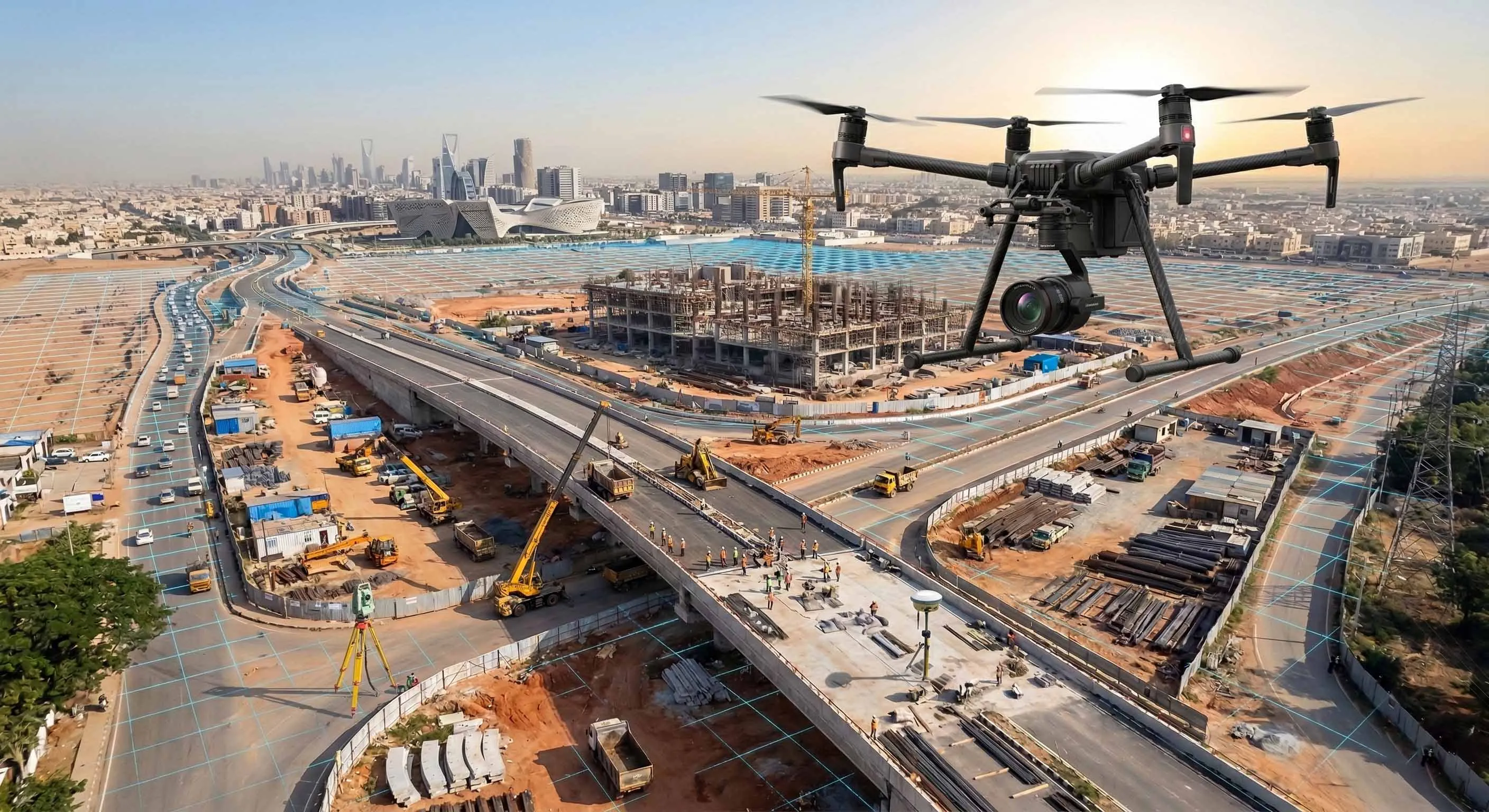
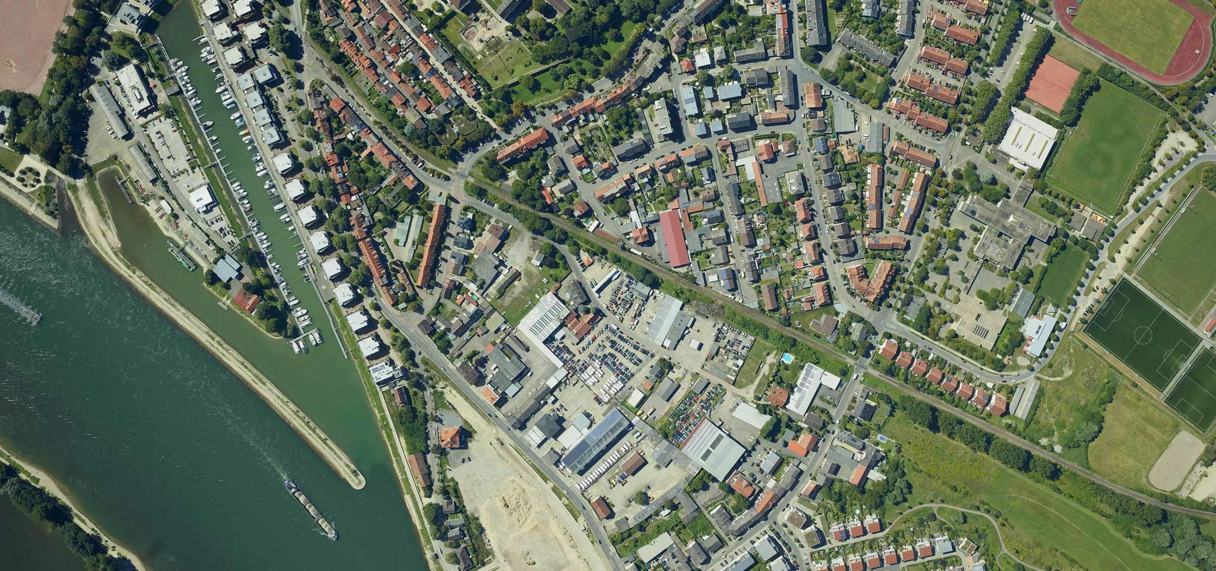
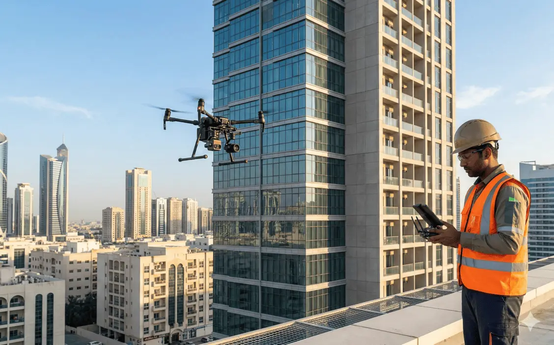
Drone video and photography services provide structured aerial documentation of projects at various stages of development. High-resolution imagery and stabilized video capture support construction progress tracking, stakeholder reporting, and site condition recording across Dubai, Abu Dhabi, and the wider UAE.
Unlike general aerial filming, our documentation is planned as a repeatable survey product: the same flight paths, altitudes, and camera angles are flown on each visit, so imagery from month to month is directly comparable. This gives project managers, developers, and consultants a consistent visual record of how a site evolves over its full construction programme.
Al Warqa Survey Engineering operates GCAA-licensed pilots and professional 4K/6K UAV platforms, and manages every airspace approval and NOTAM filing in-house. Deliverables are edited, organised, and archived to match your reporting cycle — from single milestone shoots to long-running monthly progress documentation.
Our Methodology
Delivering excellence through a proven three-stage workflow
Flight Planning & Site Coordination
Mission planning based on project scope, airspace permissions, and reporting requirements.
Aerial Capture Execution
High-resolution still imagery and stabilized video capture using calibrated UAV platforms.
Processing & Structured Output Delivery
Editing, sequencing, and organization of outputs aligned with reporting or monitoring requirements.
Applications
Industry sectors and use cases we serve
Construction Progress Monitoring
Provides periodic visual updates of site development
Infrastructure Documentation
Records baseline and milestone project stages
Stakeholder & Consultant Reporting
Supports visual communication during coordination meetings
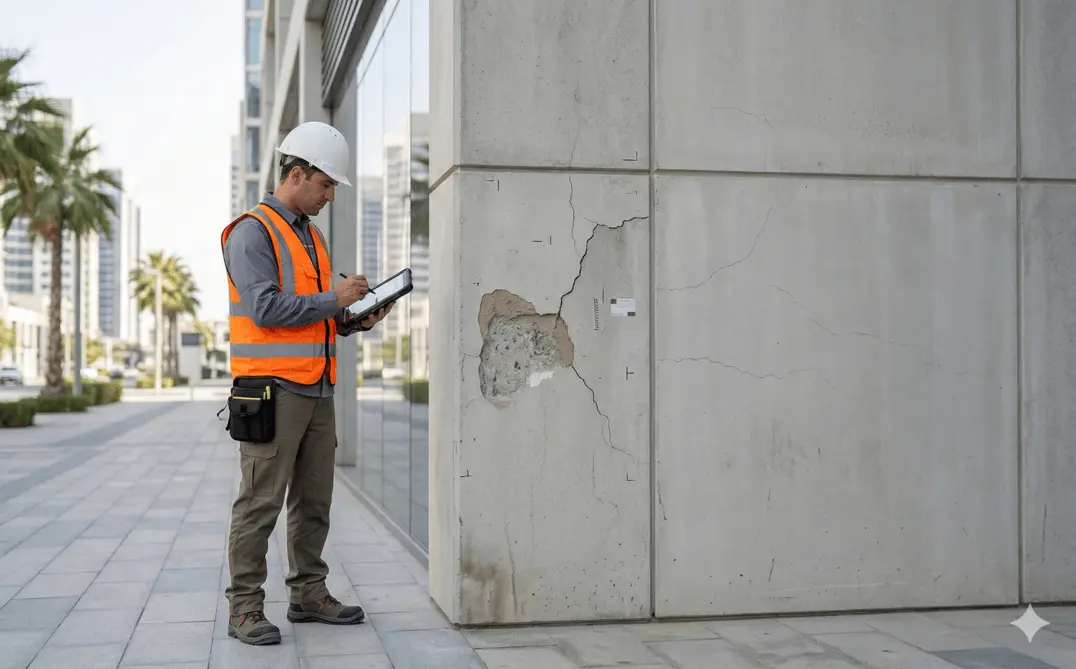
Pre- and Post-Construction Records
Documents site condition before and after major works
Real Estate & Marketing Content
Cinematic aerial footage for developments and property listings
Event & Milestone Documentation
Aerial coverage of ceremonies, handovers, and site launches
Deliverables
What you receive at the end of every project
- High-resolution aerial photographs
- Edited project progress videos
- Time-lapse or periodic comparison outputs
- Geo-referenced imagery (if required)
- Structured media archive for reporting
Technology Stack
Industry-leading equipment and software
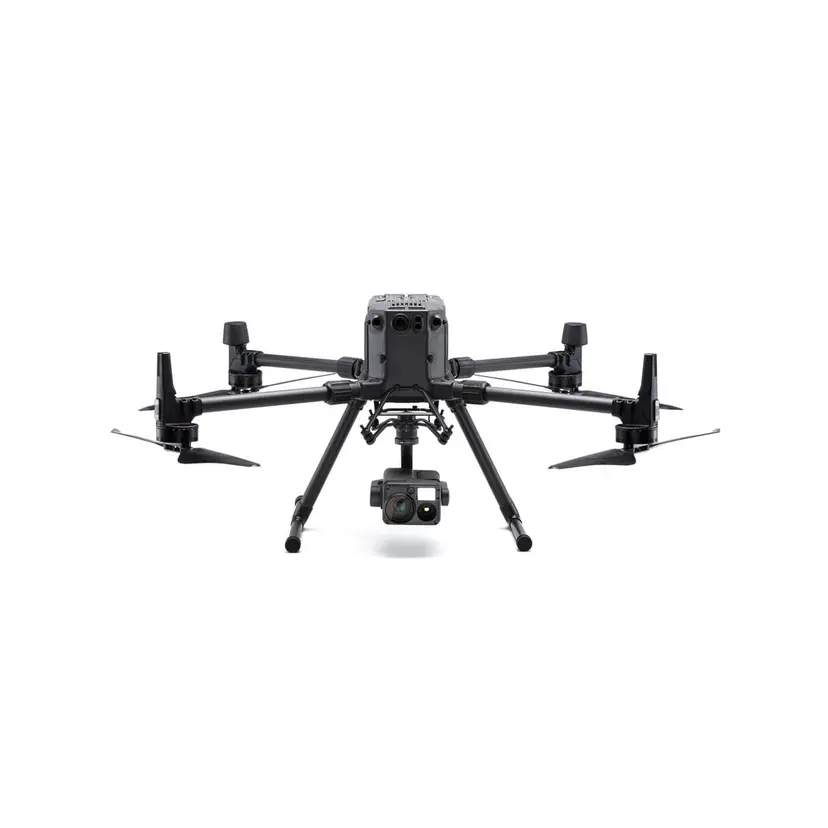
DJI Inspire 3
Advanced surveying technology for precision data capture and analysis.
DJI Mavic 3 Pro
Advanced surveying technology for precision data capture and analysis.

DaVinci Resolve
Advanced surveying technology for precision data capture and analysis.

Adobe Premiere Pro
Advanced surveying technology for precision data capture and analysis.

Lightroom
Advanced surveying technology for precision data capture and analysis.
Frequently Asked Questions
Yes, we hold a valid GCAA drone operator certificate and handle all NOTAM filings and airspace clearances for each project location.
We shoot in 4K and 6K resolution depending on the platform, with options for slow-motion and HDR capture.
Standard turnaround is 3-5 business days. Rush delivery within 24-48 hours is available for an additional fee.
Yes, we have small indoor drones for confined spaces and coordinate access for restricted zones like construction sites and industrial facilities.
Yes. Most construction clients take a recurring monthly package where we fly the same paths and angles each visit, producing a directly comparable visual record across the project lifecycle. Frequency is tailored to your reporting cycle.
We deliver edited MP4/MOV video in your required resolution, high-resolution JPEG/RAW stills, and optional time-lapse sequences. Files are provided via a structured cloud archive organised by date and location.
Yes. We operate across all seven emirates. Airspace approvals differ by emirate and location, and we manage the relevant GCAA and local authority permits for each shoot as part of the service.
Have more questions?
Our team of experts is ready to assist you with your specific project requirements across the GCC.
Related Services
Explore our other professional surveying solutions
Aerial Drone Mapping
High-resolution aerial data acquisition for terrain modeling, volumetric analysis, and site documentation.
Drone Inspection Services
Aerial inspection and condition assessment of structures and infrastructure using high-resolution UAV systems.
Dilapidation Survey Dubai
Pre-construction dilapidation surveys in Dubai and the UAE. Detailed condition reports, photographic documentation, and crack mapping to protect contractors and developers from damage claims.
Contact us directly
Reach our team instantly via WhatsApp, phone, or email.
Also available in Riyadh