Topographic Survey Abu Dhabi
Professional topographic survey services in Abu Dhabi. Terrain, contour, and elevation mapping for ADNOC, DMT, Aldar, and infrastructure projects referenced to the Abu Dhabi Coordinate System (ADCS).
Topographic Survey Services in Abu Dhabi
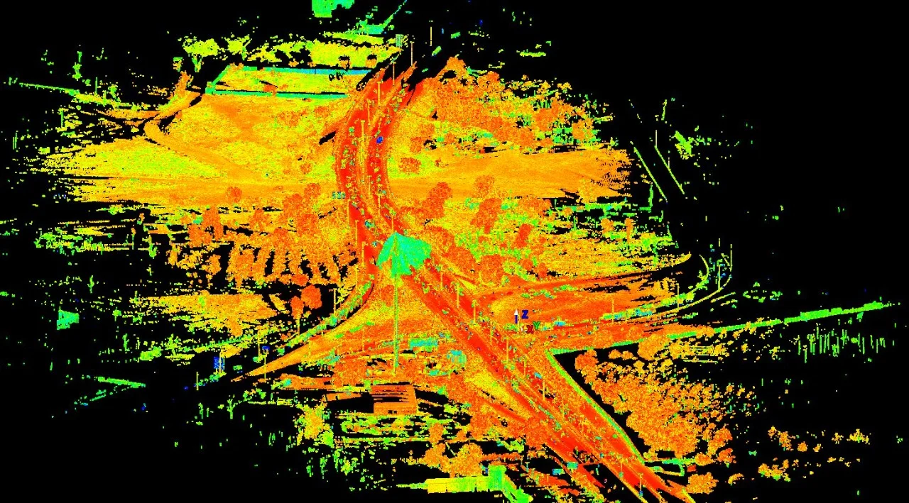
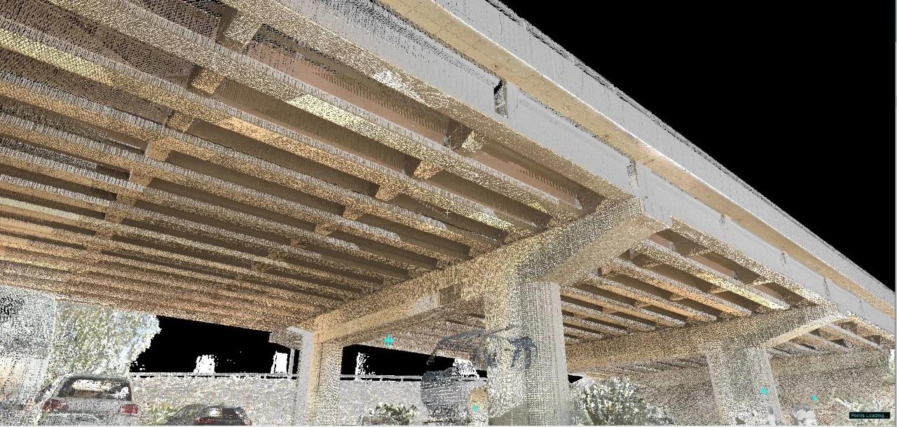
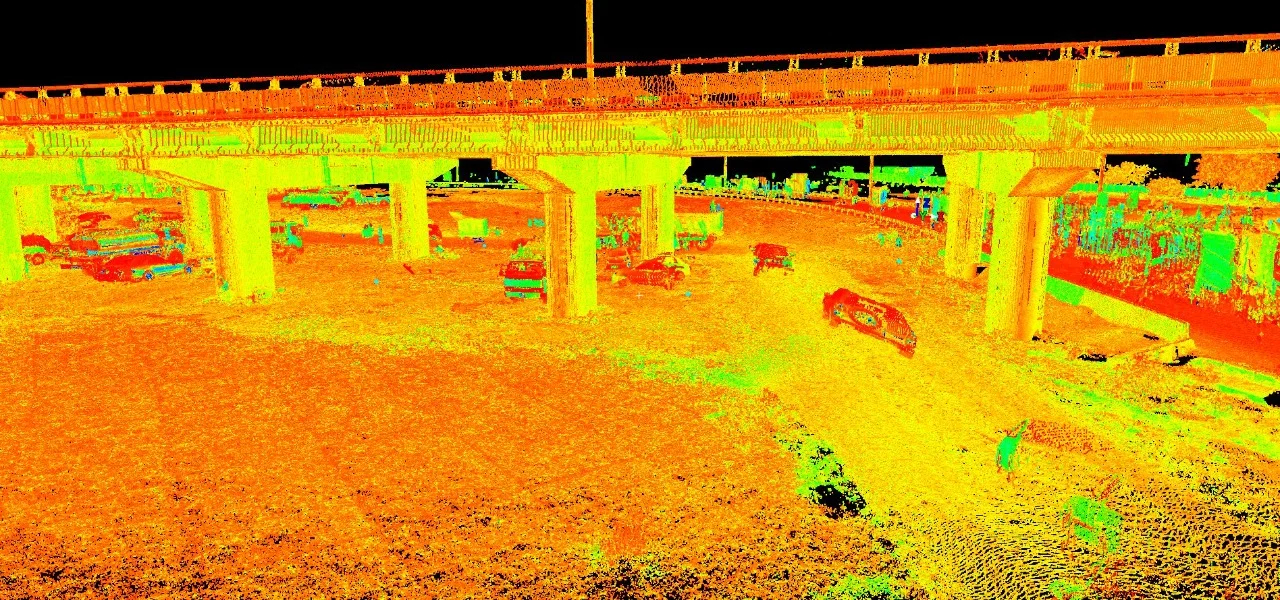
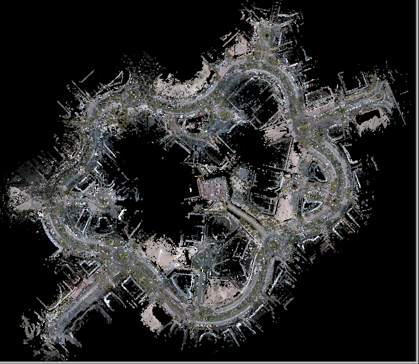
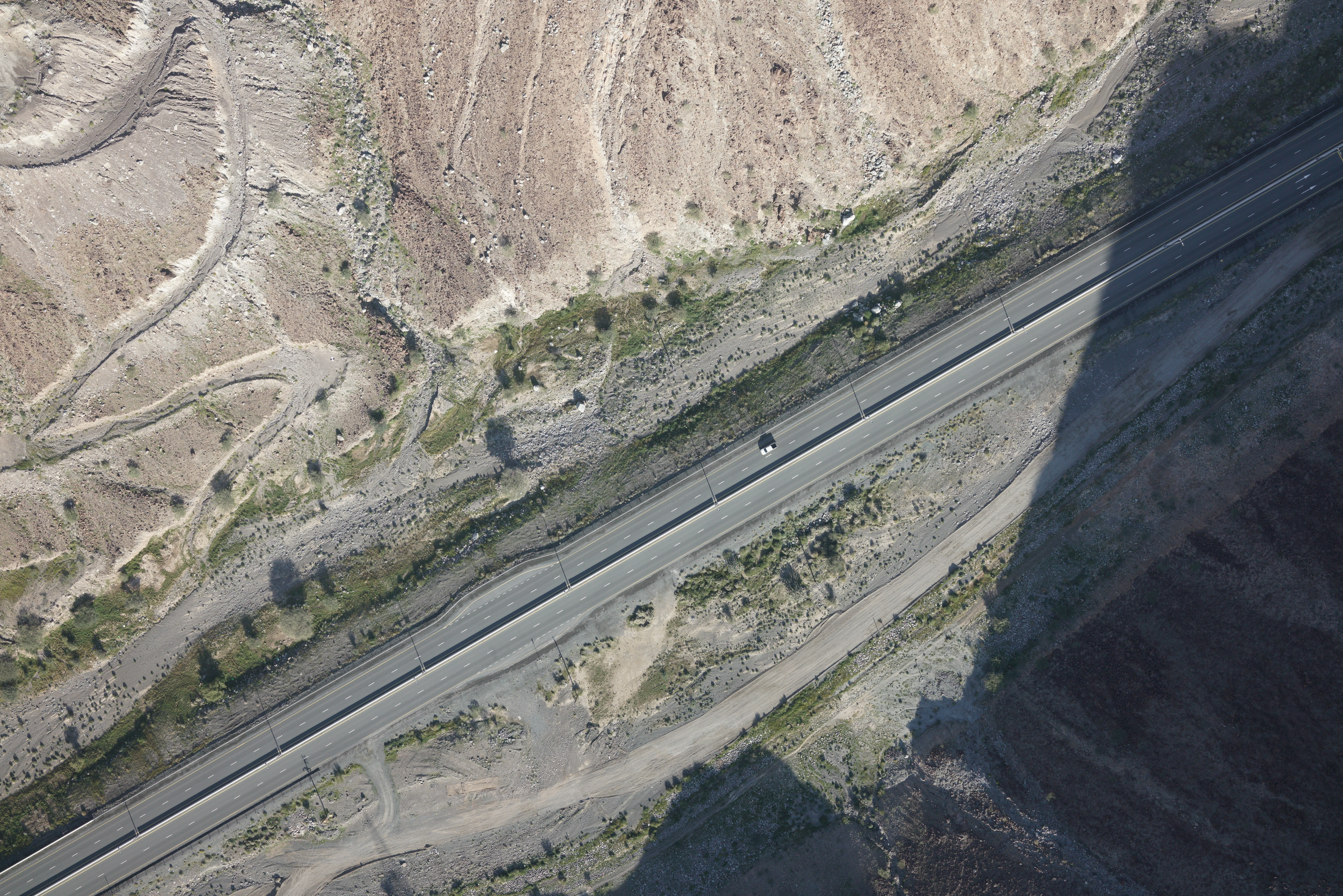
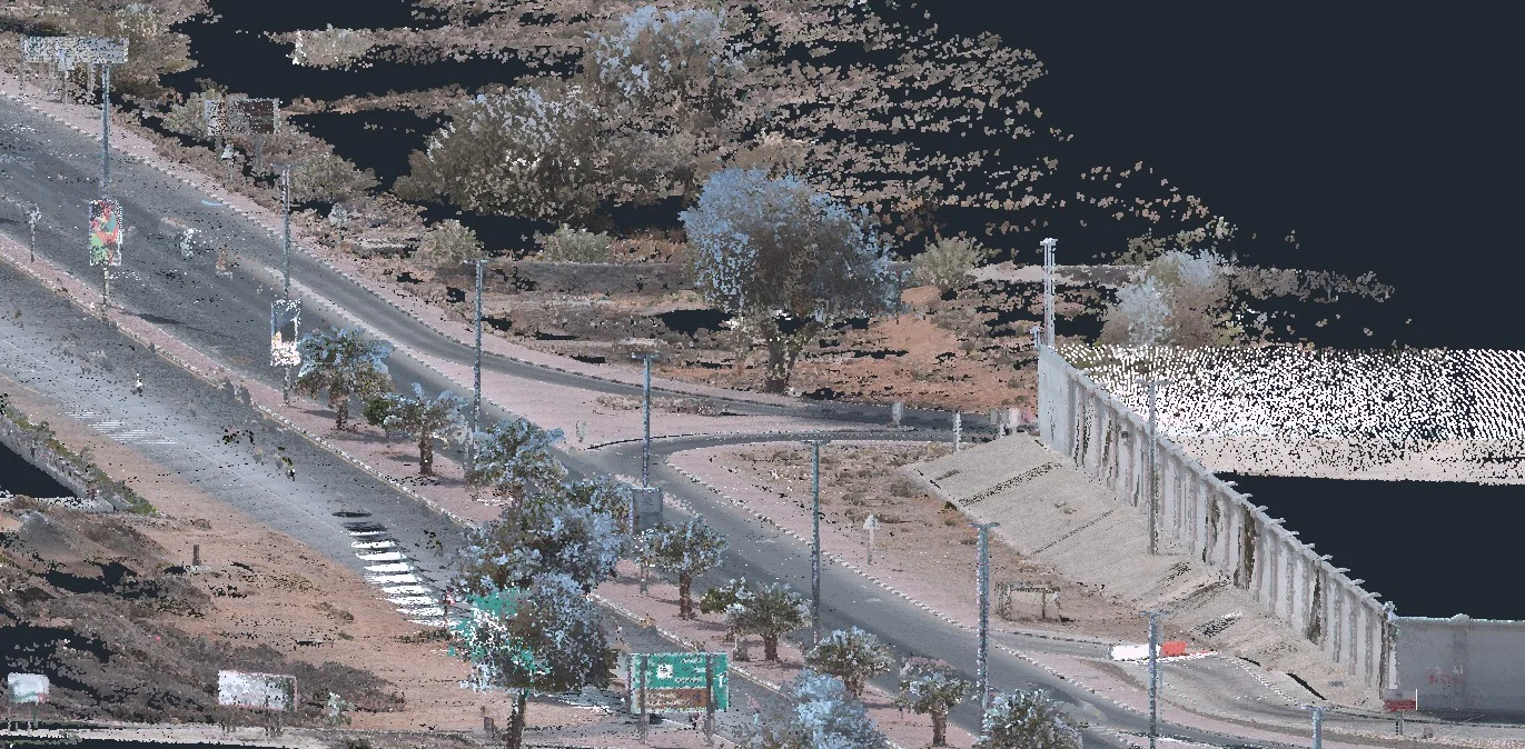
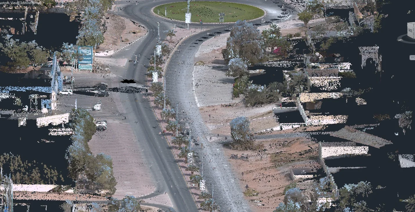
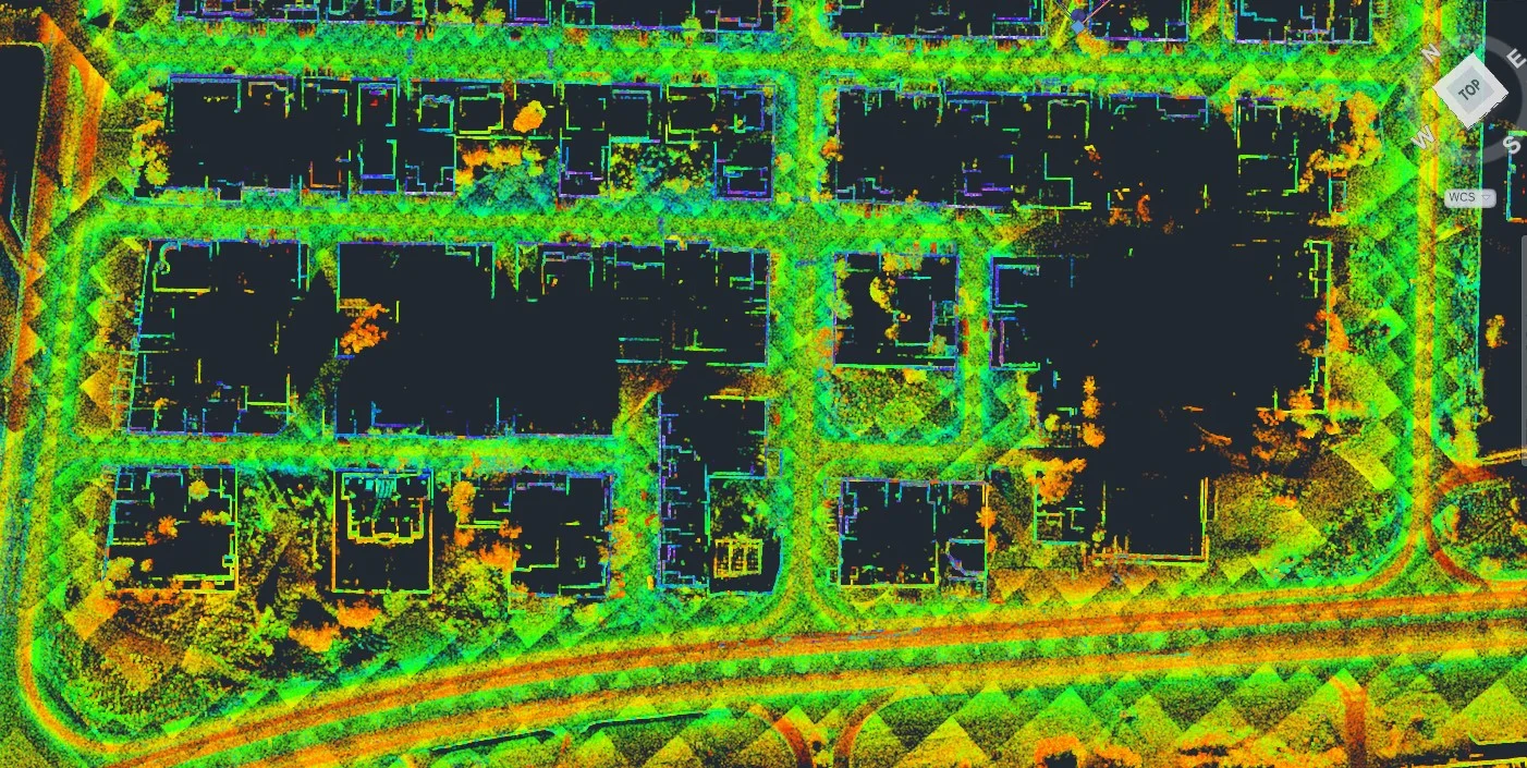
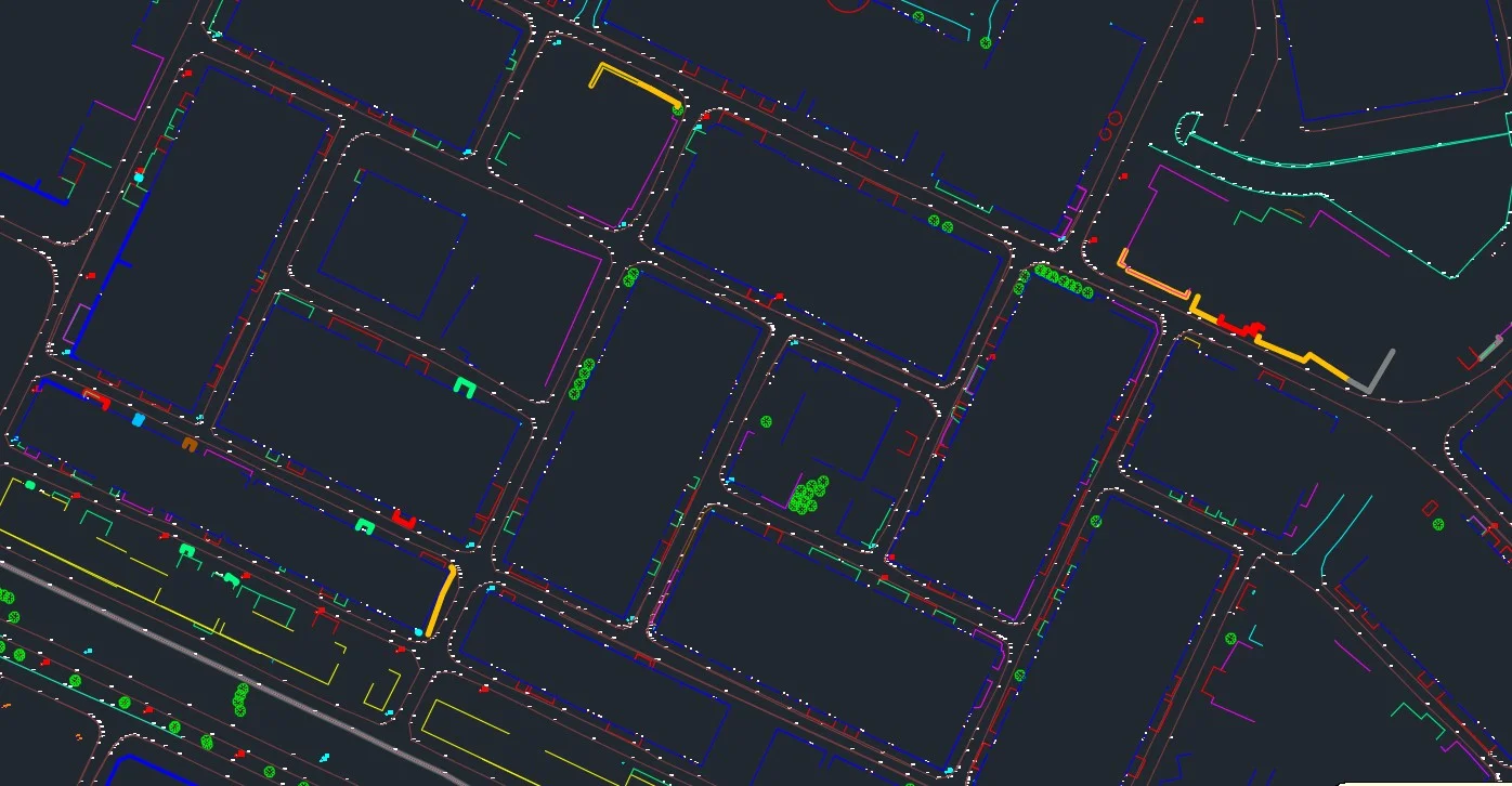
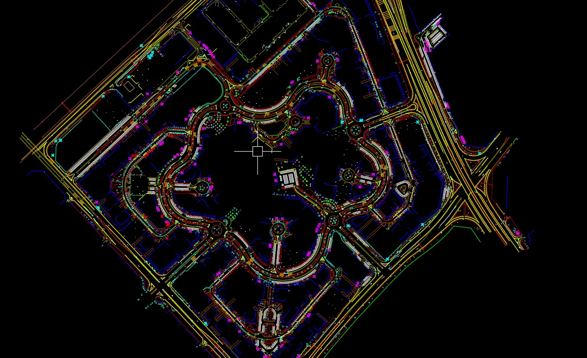
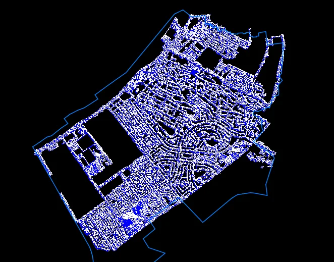
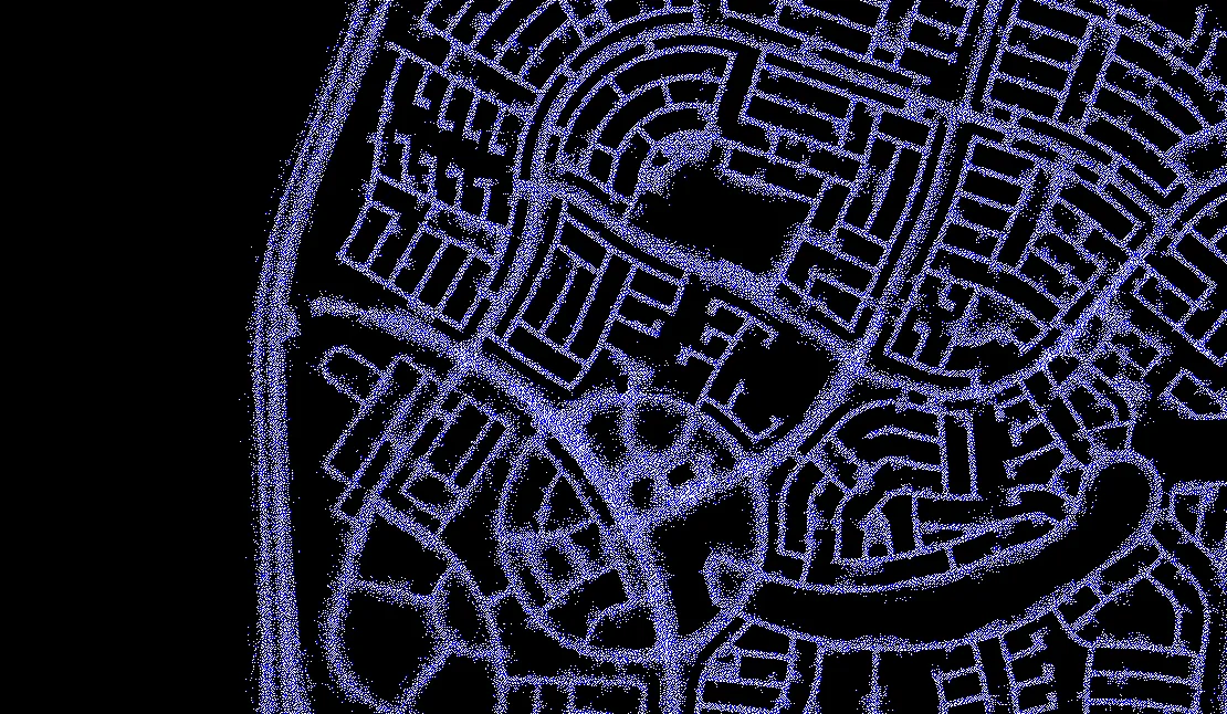
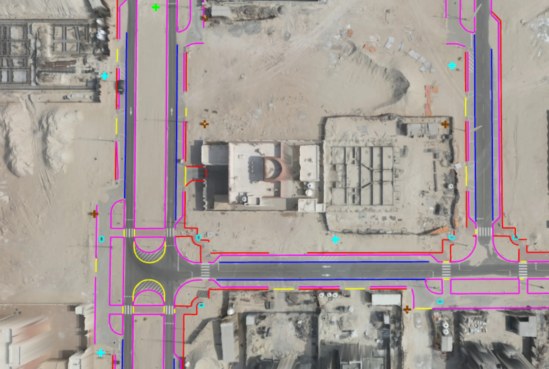
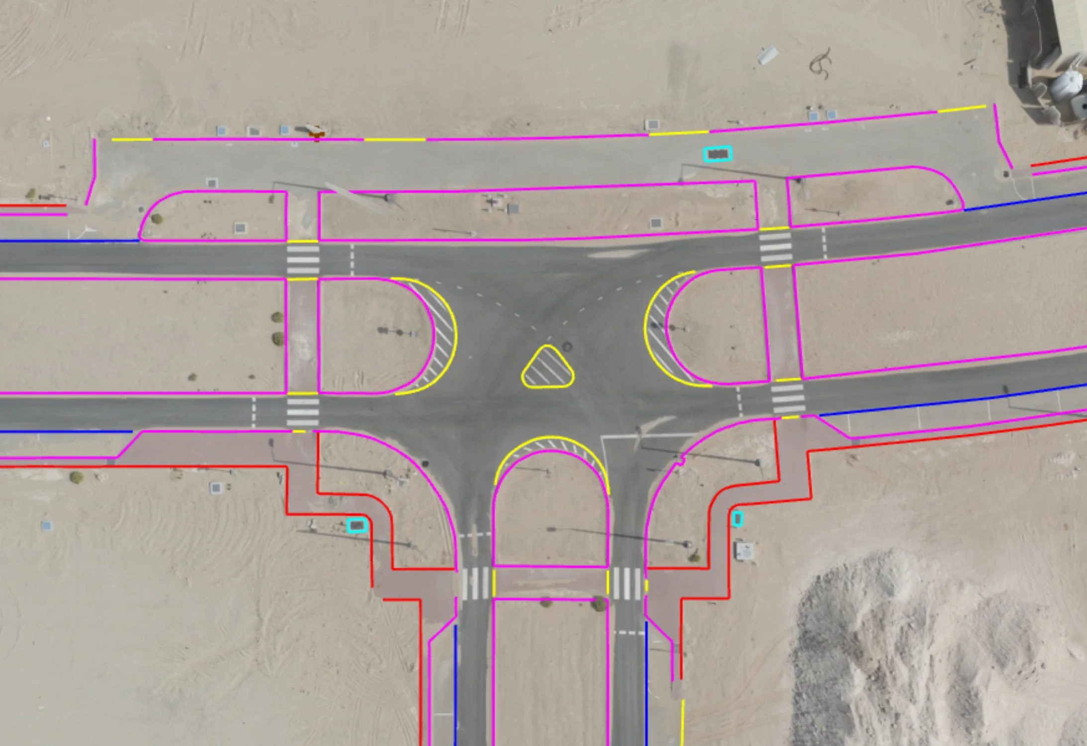
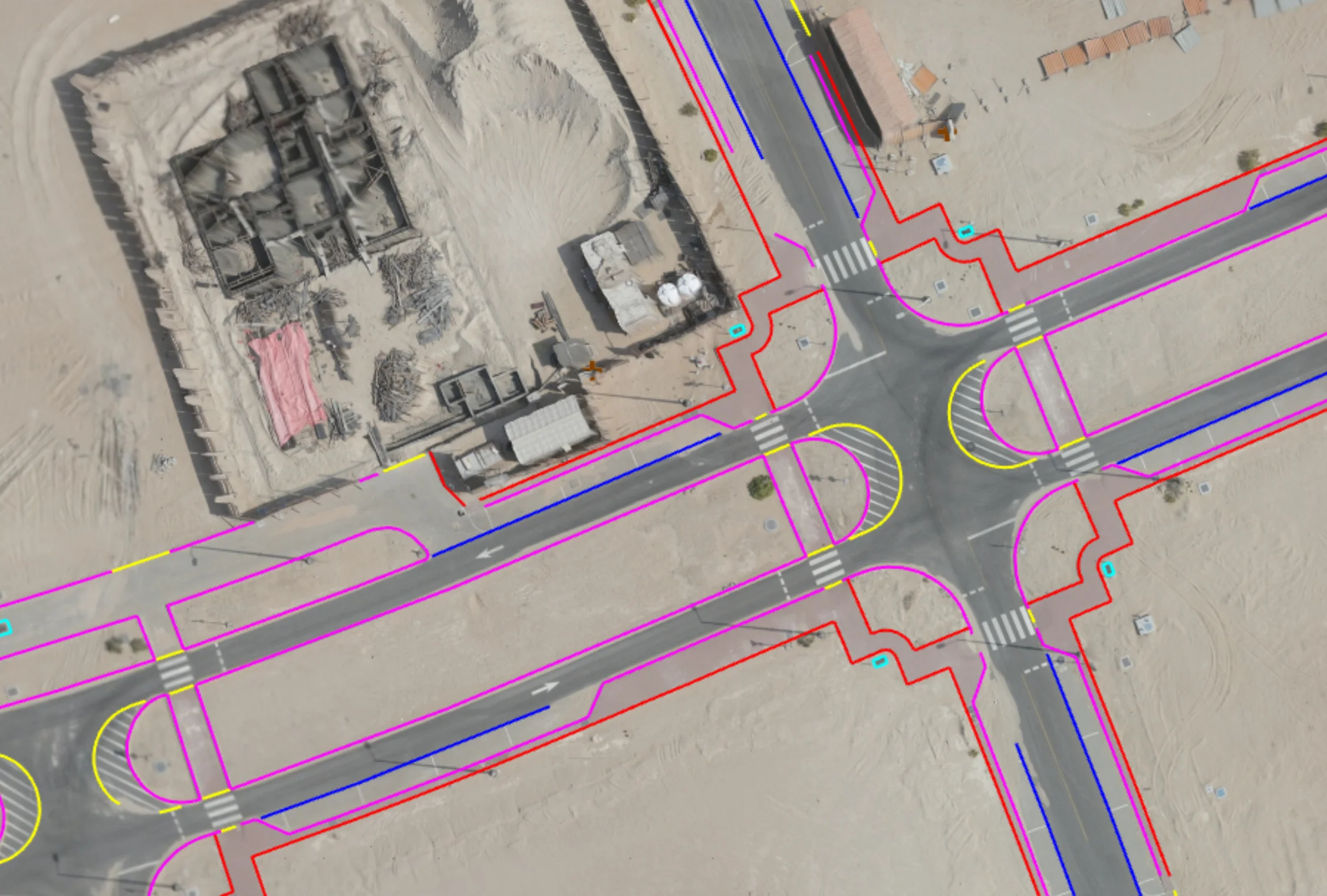
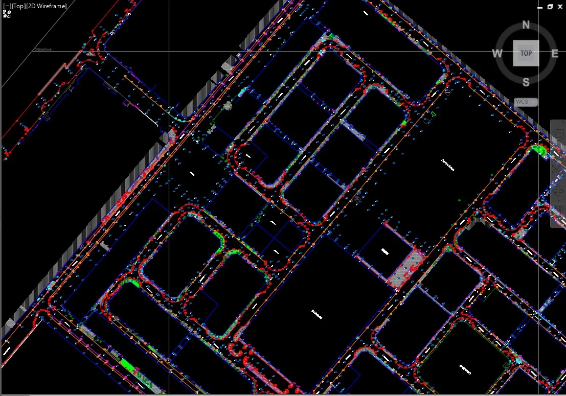
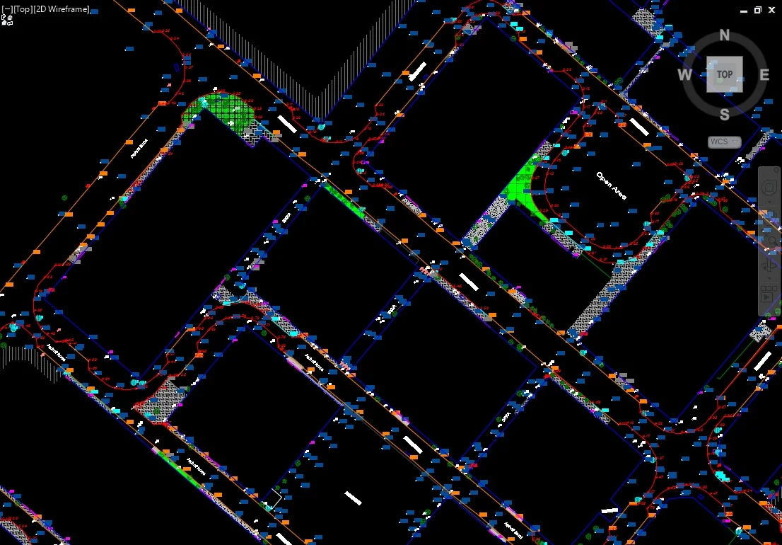
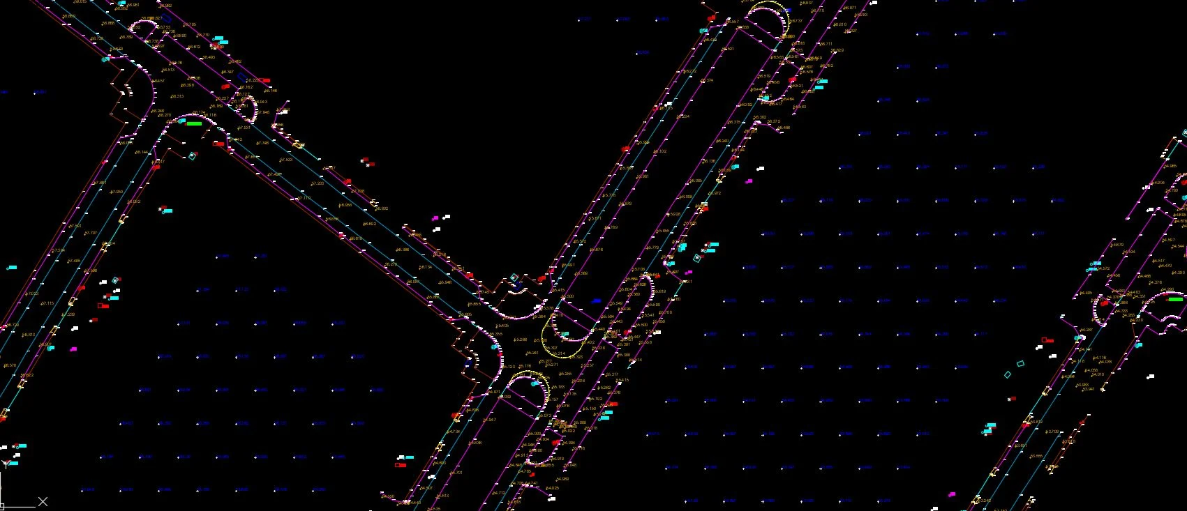
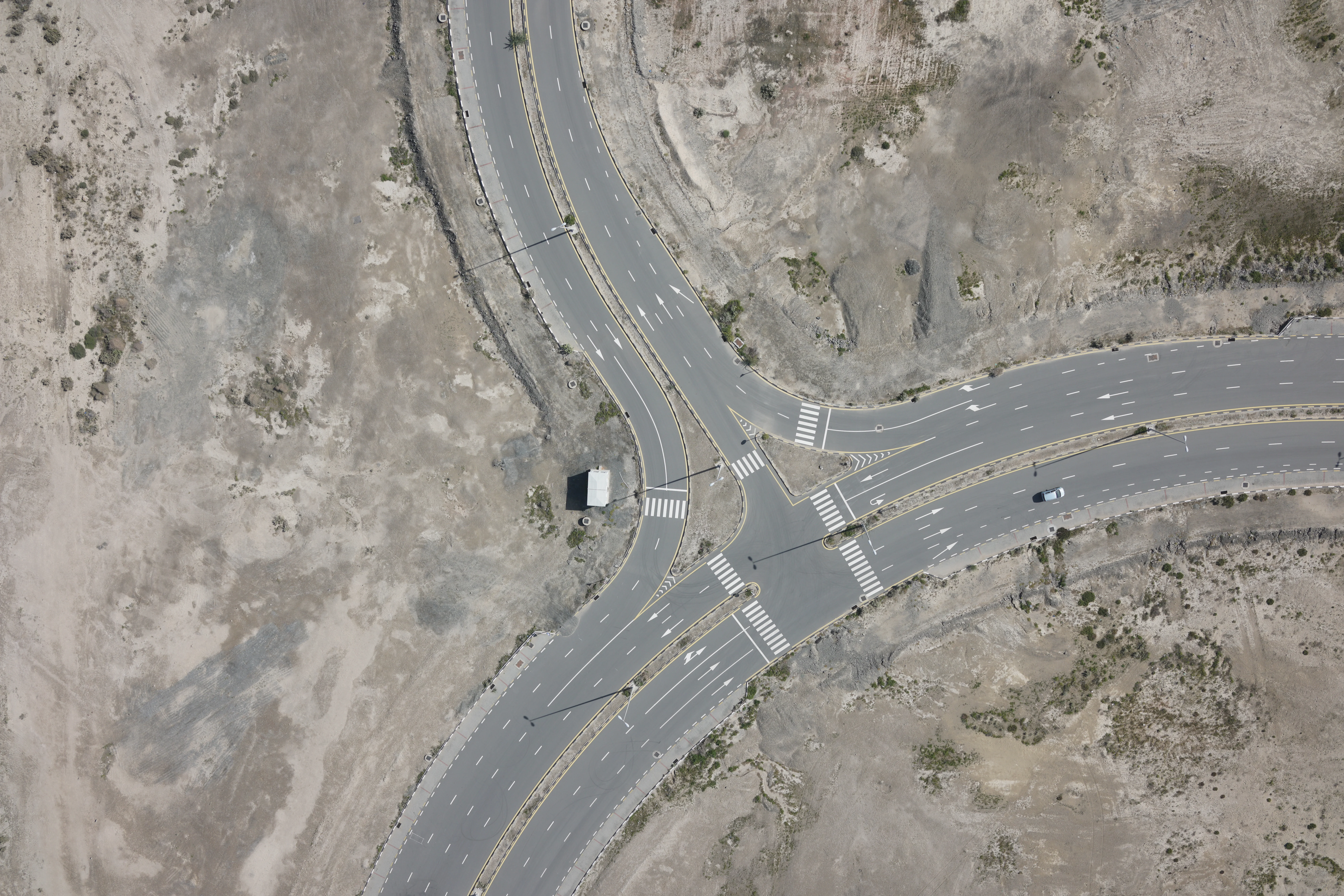
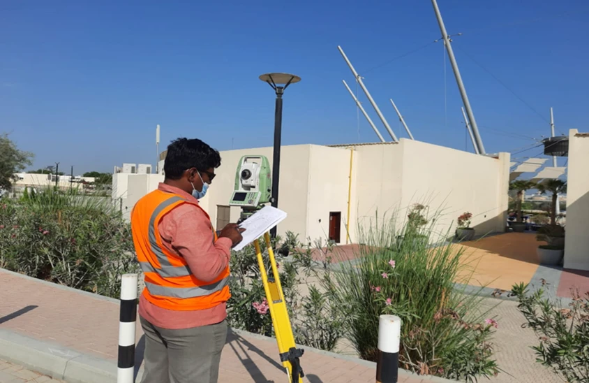
Al Warqa Survey Engineering delivers topographic survey services across Abu Dhabi emirate — from the city centre and Saadiyat Island to Al Ain, Ruwais, and the Western Region. Our surveys capture terrain contours, spot levels, drainage, structures, and surface features to the accuracy and format required by the Abu Dhabi Department of Municipalities and Transport (DMT).
All Abu Dhabi topographic surveys are referenced to the Abu Dhabi Coordinate System (ADCS) and delivered in DWG, DXF, and GIS formats compatible with authority requirements. Our team holds valid engineering surveyor licences recognised by Abu Dhabi authorities.
Our Methodology
Delivering excellence through a proven three-stage workflow
ADCS Control Setup
Establish GNSS control referenced to the Abu Dhabi Coordinate System. Verify existing Abu Dhabi datum benchmarks and ADSC ellipsoidal heights.
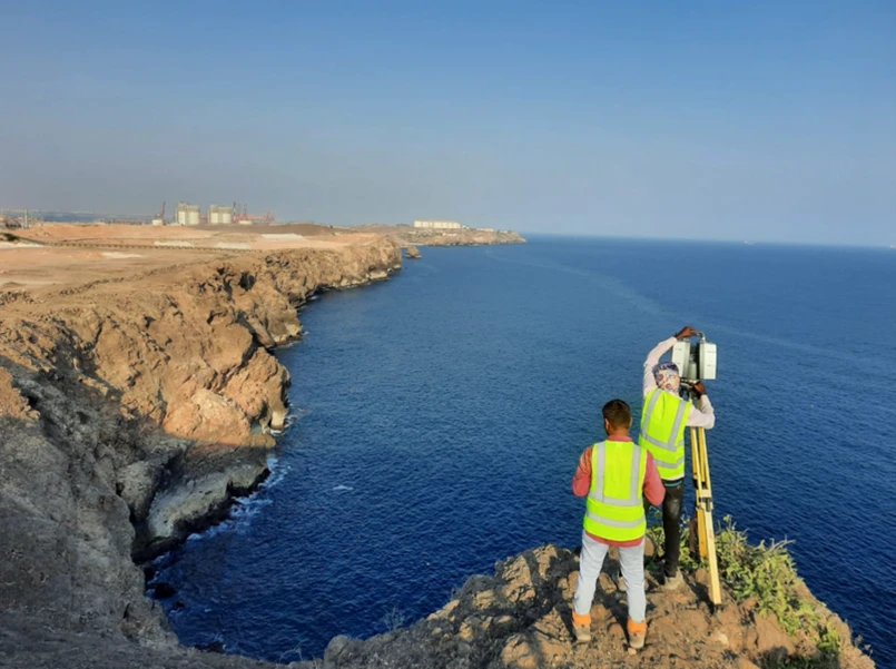
Field Data Capture
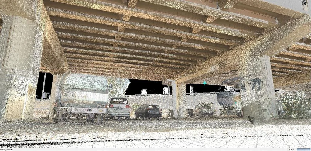
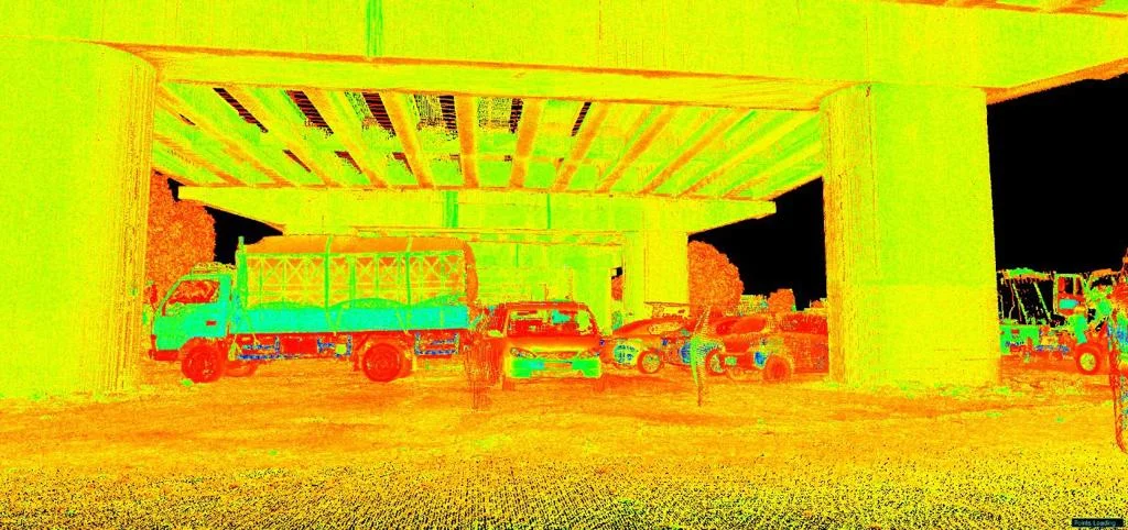
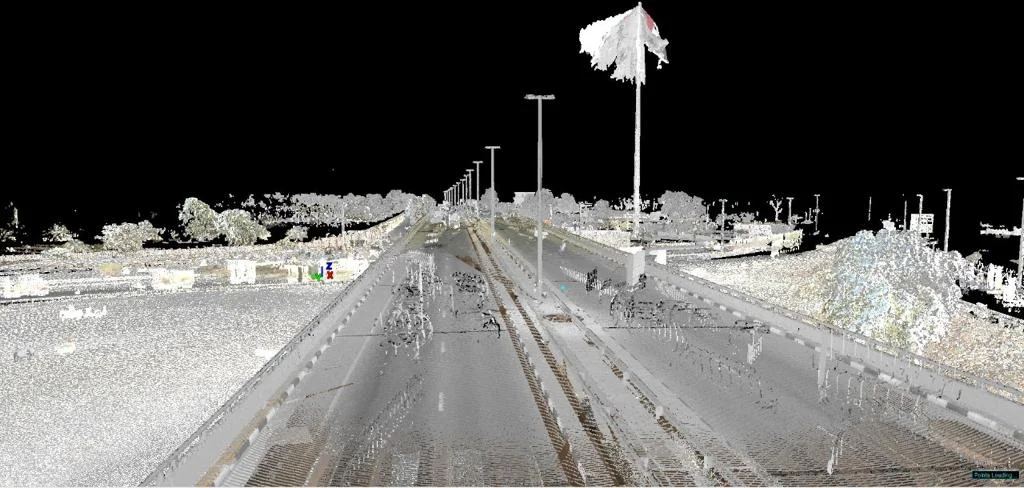
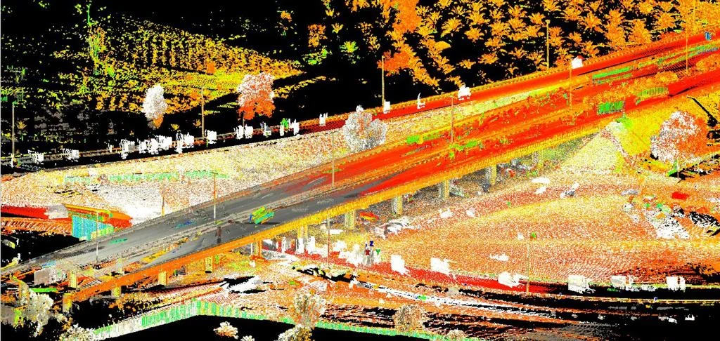
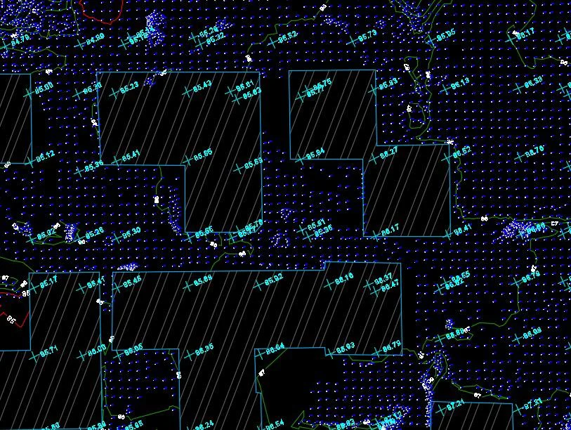
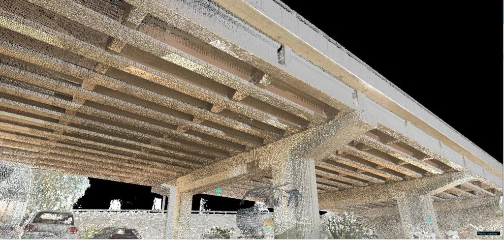
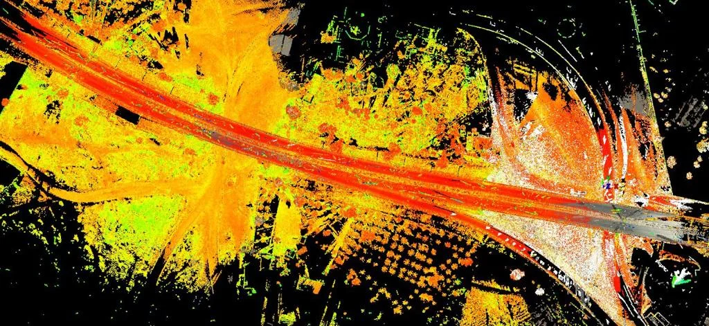
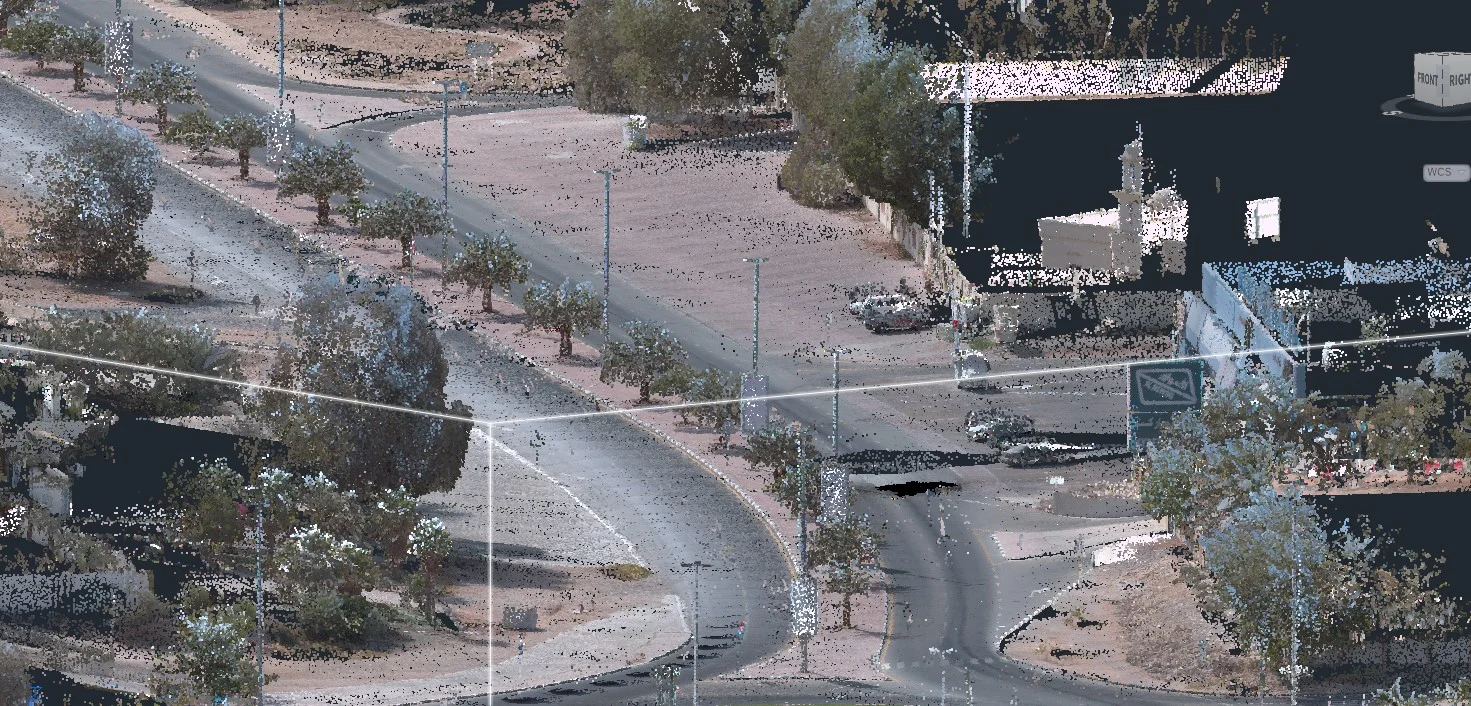
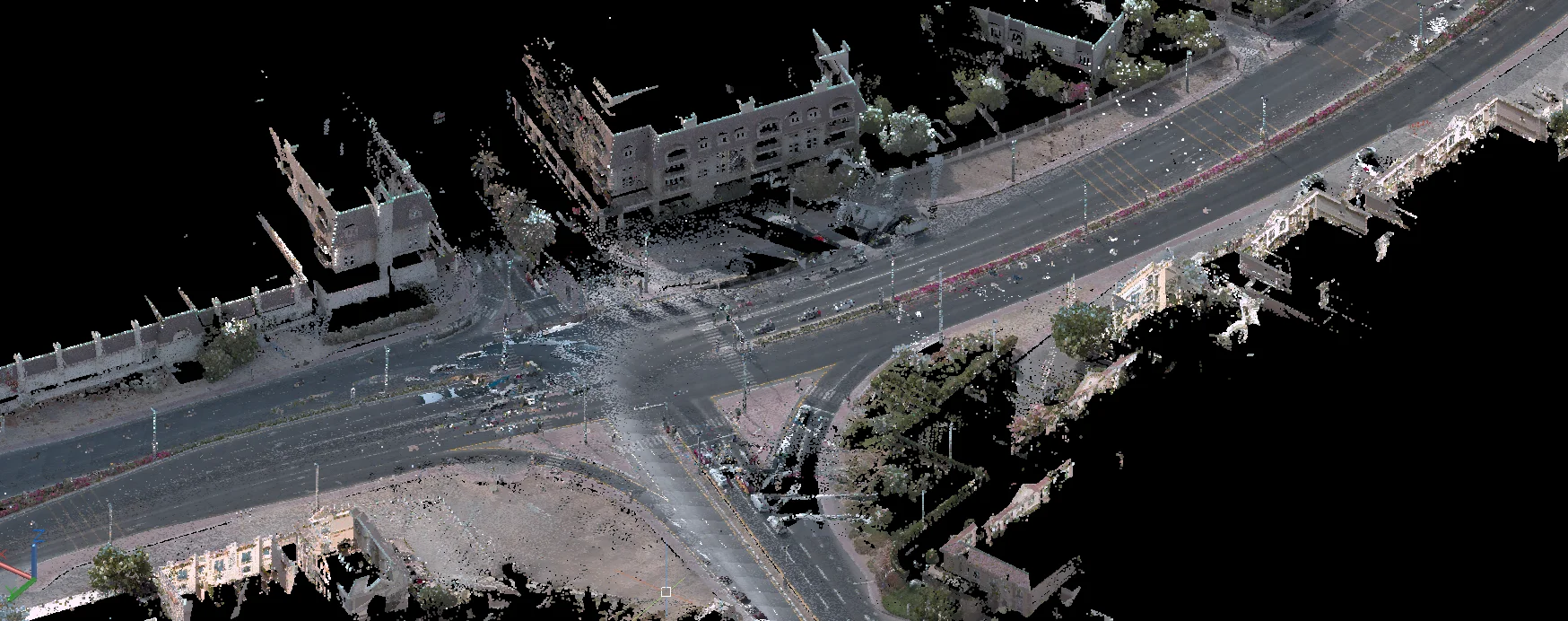
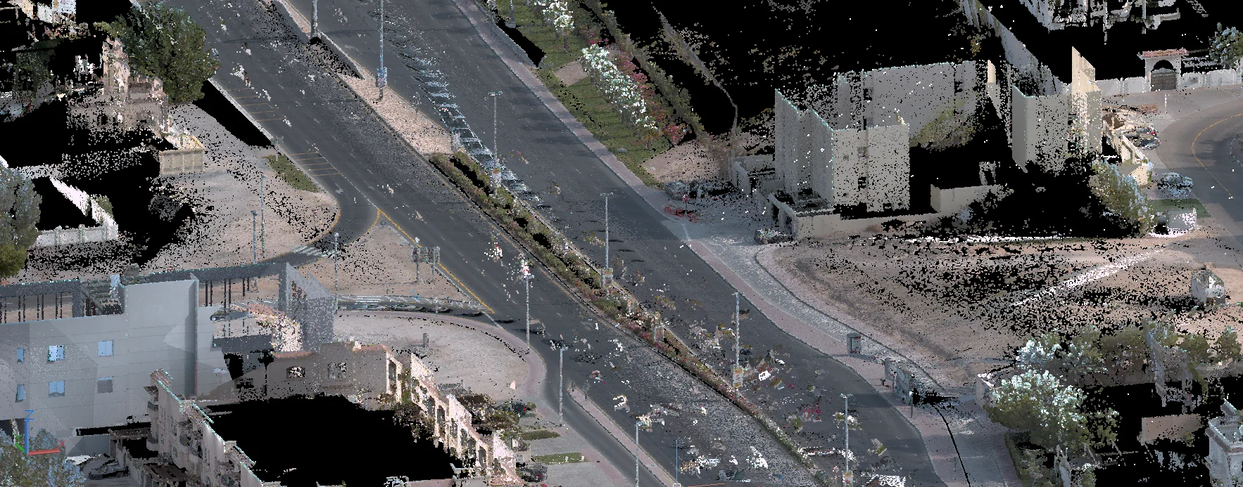
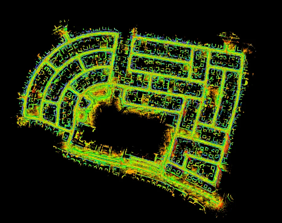
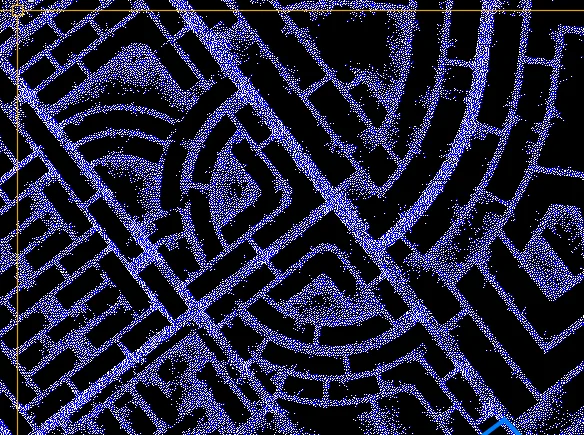
Collect terrain data using total station, GNSS RTK, or drone photogrammetry depending on site size, vegetation, and required accuracy.
DMT-Ready Delivery
Produce survey plans, DTM, and documentation in authority-required format with licensed surveyor stamp for DMT submission.
Applications
Industry sectors and use cases we serve
DMT Development Submissions
Authority-compliant topographic plans for masterplan, building permit, and infrastructure submissions
ADNOC & Industrial Surveys
Terrain and site surveys for oil, gas, and industrial facility design
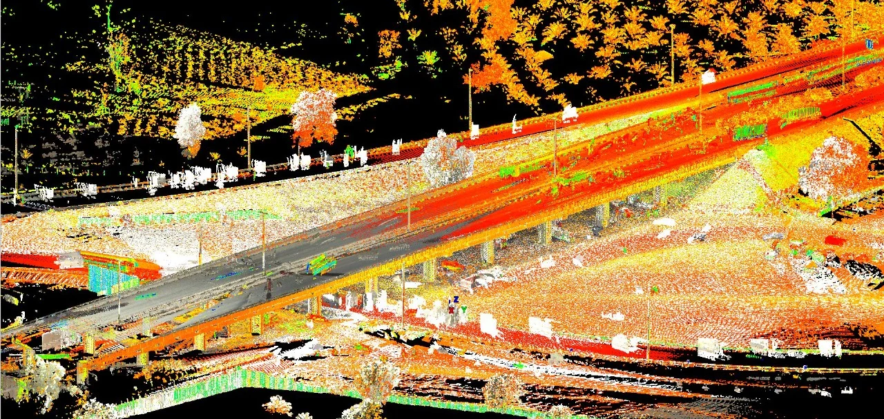
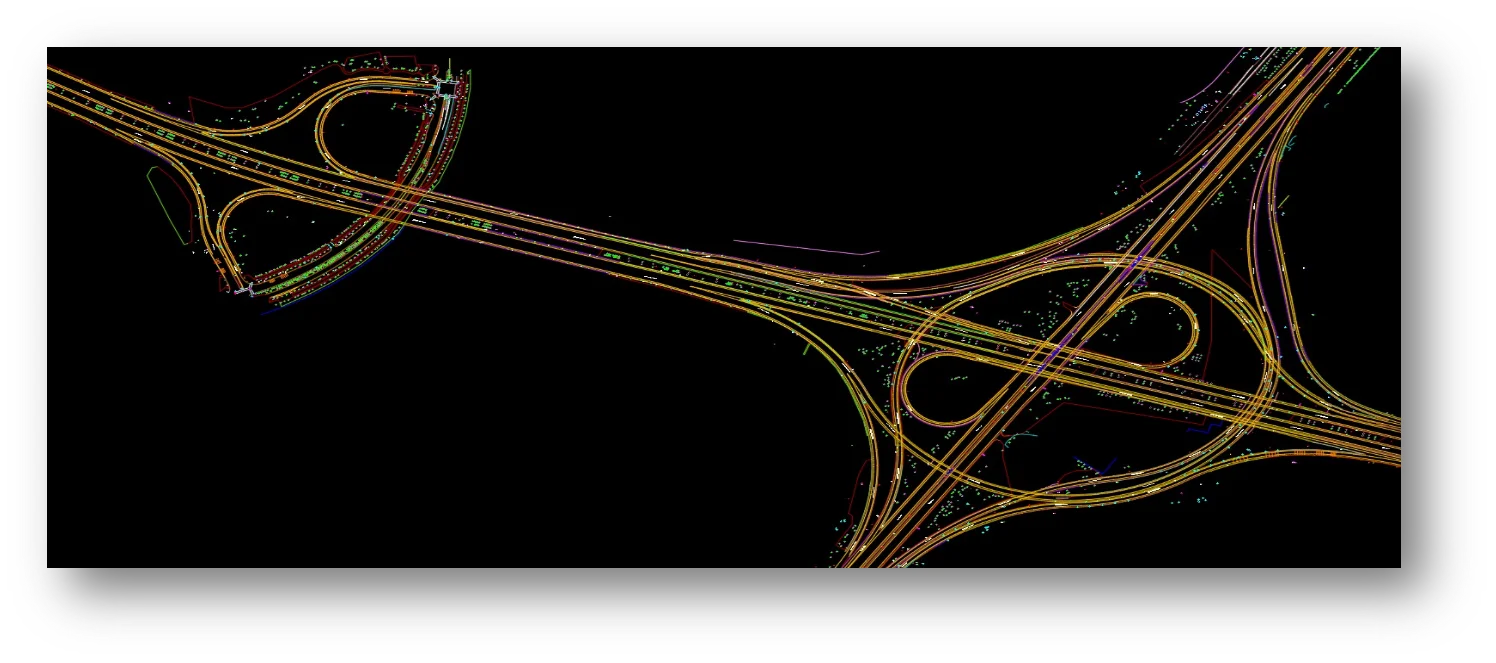
Road & Infrastructure Design
Corridor topographic surveys for Abu Dhabi road and utility projects
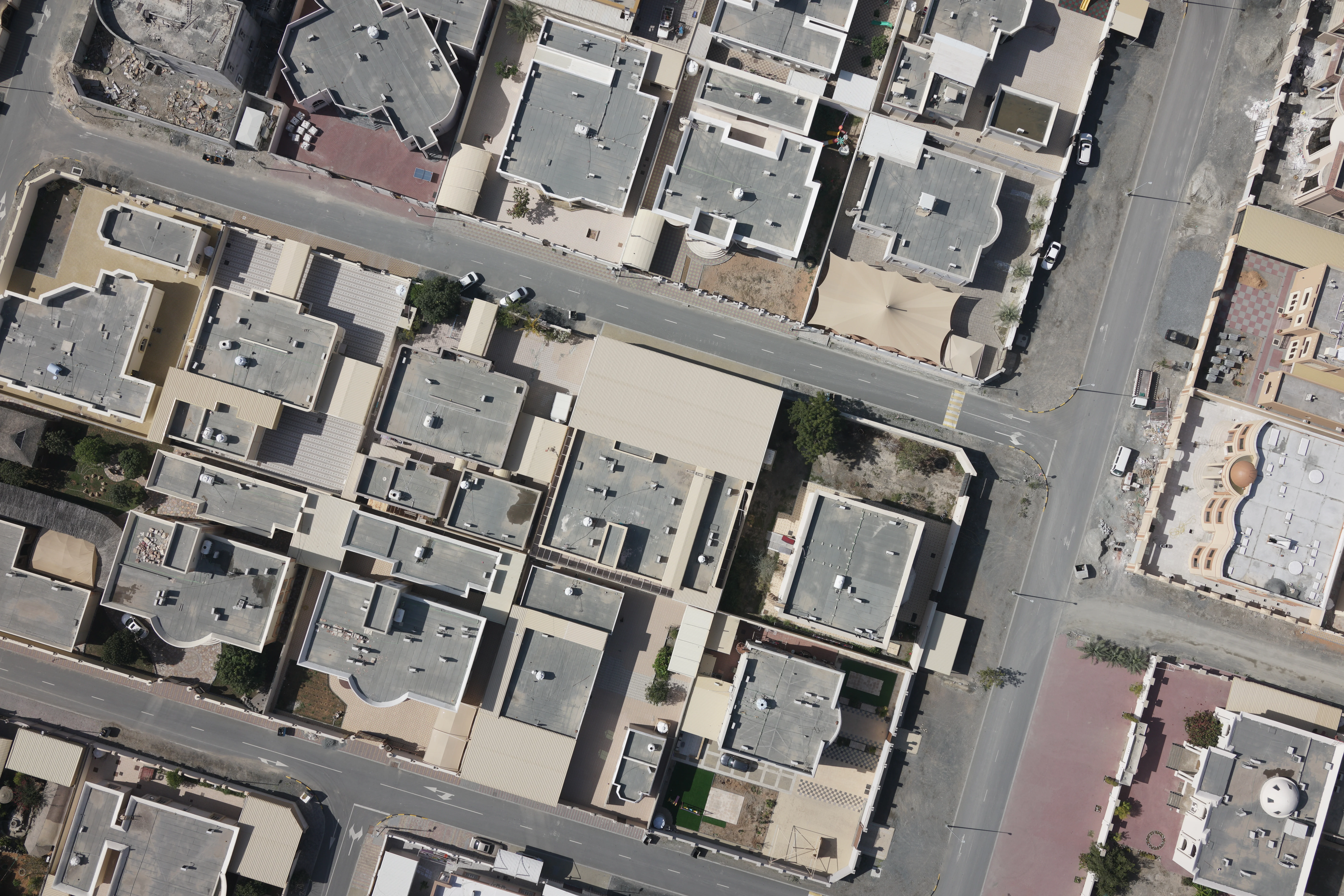
Real Estate & Development Projects
Topographic surveys for Aldar, Modon, and private developer plots
Deliverables
What you receive at the end of every project
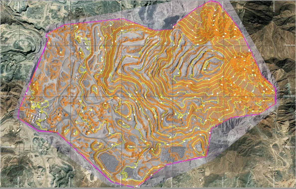
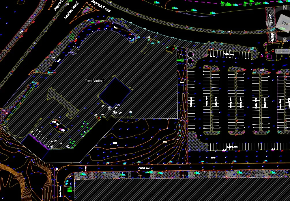
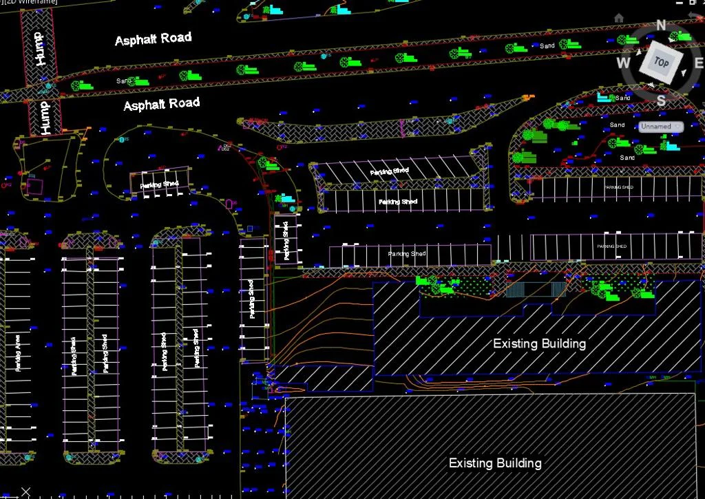
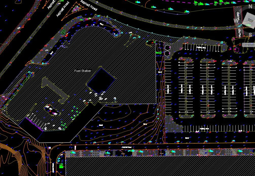
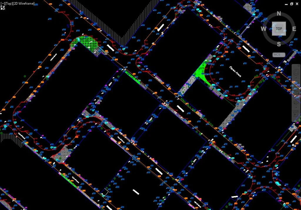
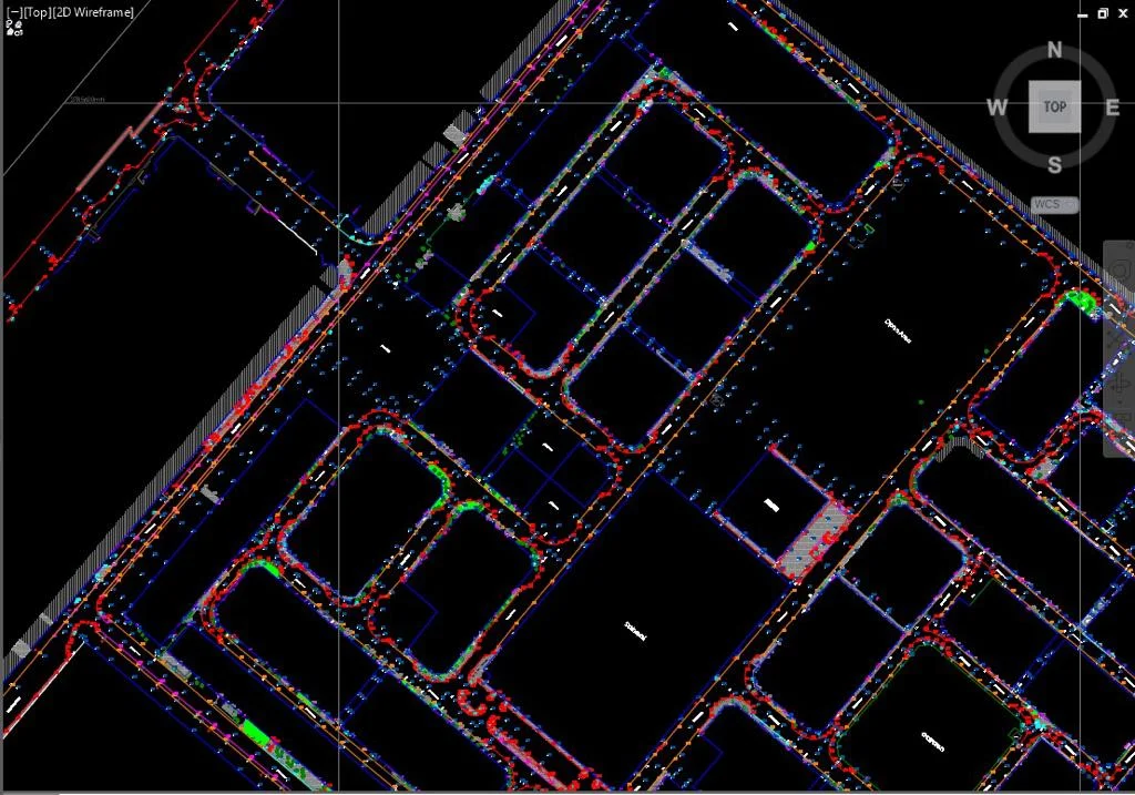
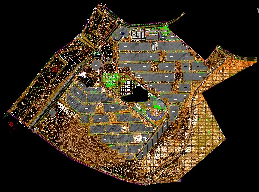
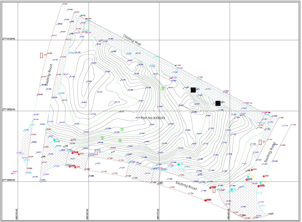
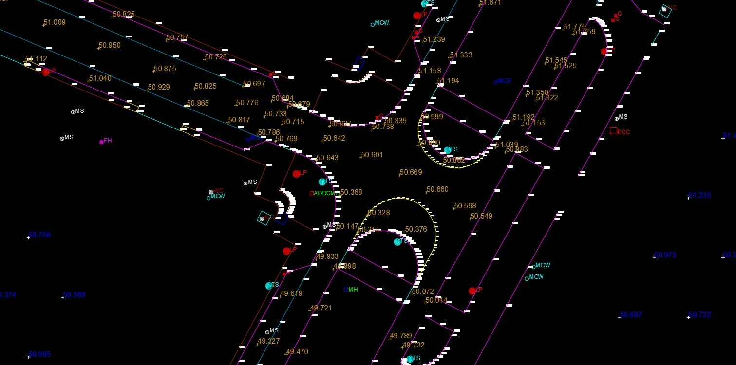
- Topographic survey planDWG — ADCS coordinate system, DMT compliant
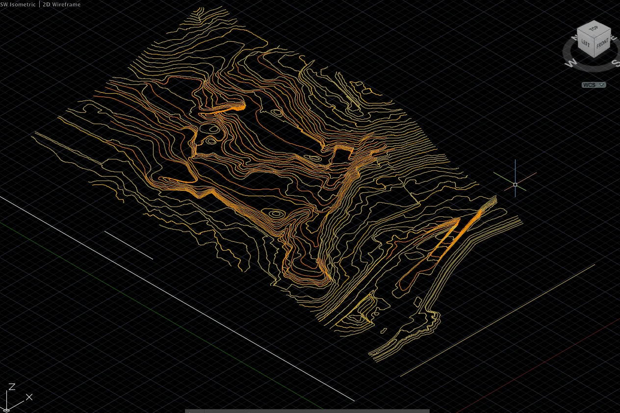
- Contour map at 0.25m / 0.5m / 1m interval
- Spot height grid and drainage features
- Feature survey (structures, roads, utilities)
- Digital terrain model (DTM)ASCII grid / LandXML
- Survey accuracy and control report


Technology Stack
Industry-leading equipment and software
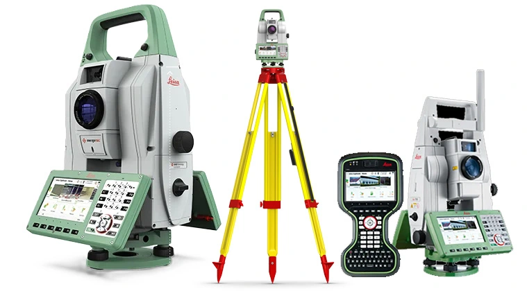
Leica TS16 Total Station
Advanced surveying technology for precision data capture and analysis.
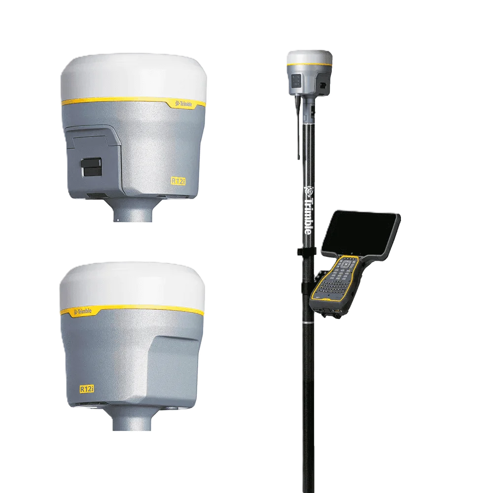
Trimble R12 GNSS
Advanced surveying technology for precision data capture and analysis.
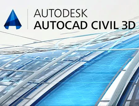
AutoCAD Civil 3D
Advanced surveying technology for precision data capture and analysis.
Frequently Asked Questions
All Abu Dhabi topographic surveys are referenced to the Abu Dhabi Coordinate System (ADCS) using Transverse Mercator projection as required by the Department of Municipalities and Transport (DMT).
Yes. Our Abu Dhabi surveys are produced to DMT standards with licensed surveyor stamp and are submitted directly or through your consultant for building permits and masterplan approvals.
Yes. We cover the entire Abu Dhabi emirate including Al Ain, Ruwais, Madinat Zayed, and the Western Region, as well as offshore island developments.
For standard topographic surveys in Abu Dhabi city and surrounding areas, we typically mobilise within 2–5 working days of confirmed scope and access.
Have more questions?
Our team of experts is ready to assist you with your specific project requirements across the GCC.
Related Services
Explore our other professional surveying solutions
Survey Company Abu Dhabi
Professional survey engineering services in Abu Dhabi. Land, topographic, drone, 3D laser scanning, GIS, and BIM services for ADNOC, Aldar, ADDC, and government projects.
Topographical Survey Dubai
Accurate topographical surveys in Dubai capturing terrain features, ground levels, and surface detail for engineering design, planning, and development projects.
Land Survey Dubai
Professional land survey services in Dubai for construction, development, and infrastructure projects. Authority-approved, ISO-certified, 25+ years experience.
Contact us directly
Reach our team instantly via WhatsApp, phone, or email.
Also available in Riyadh