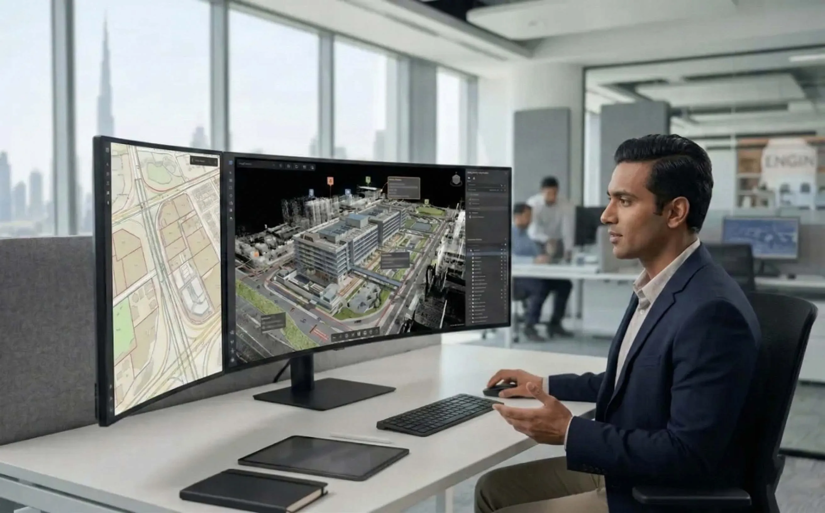
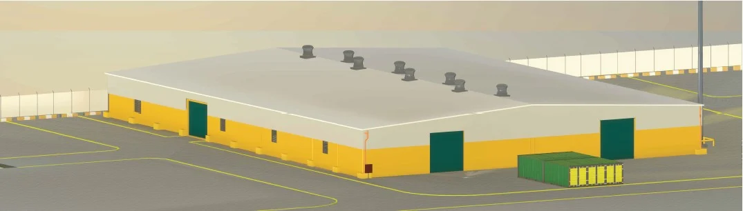
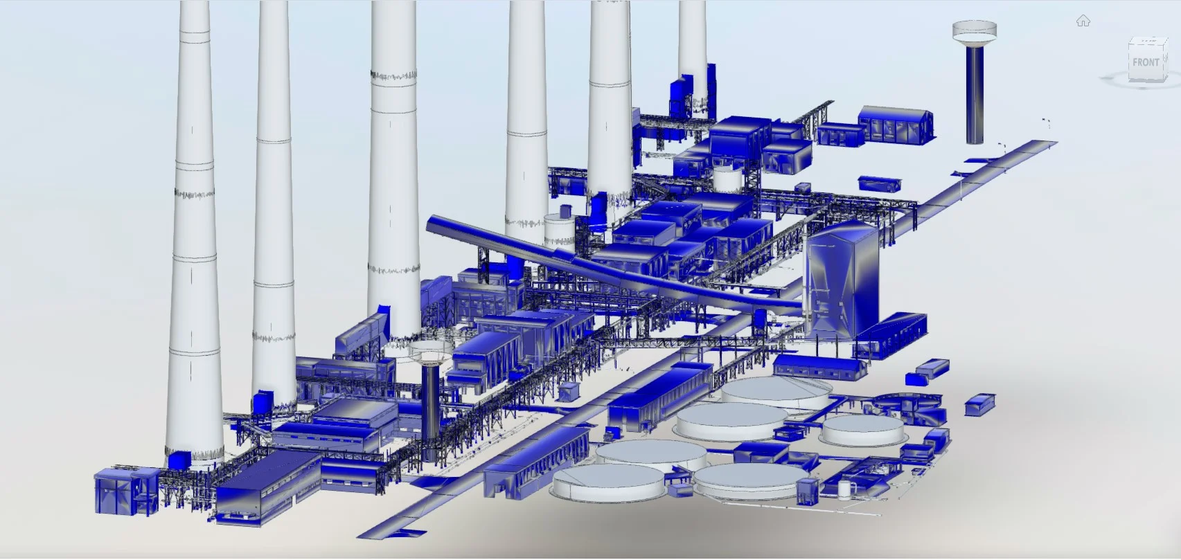
Digital Twin Development
Integrated digital representation of physical assets combining survey, BIM, and GIS data into a unified environment.
Centralized Digital Reference for Assets and Infrastructure
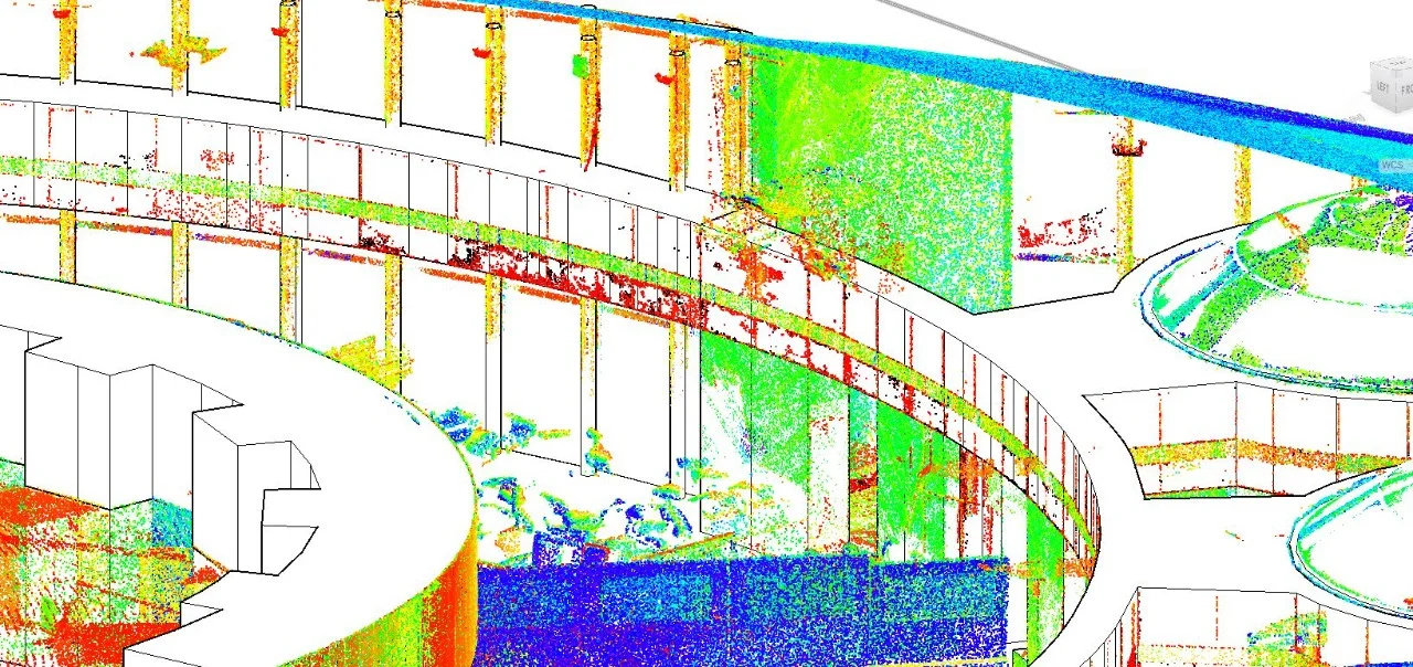
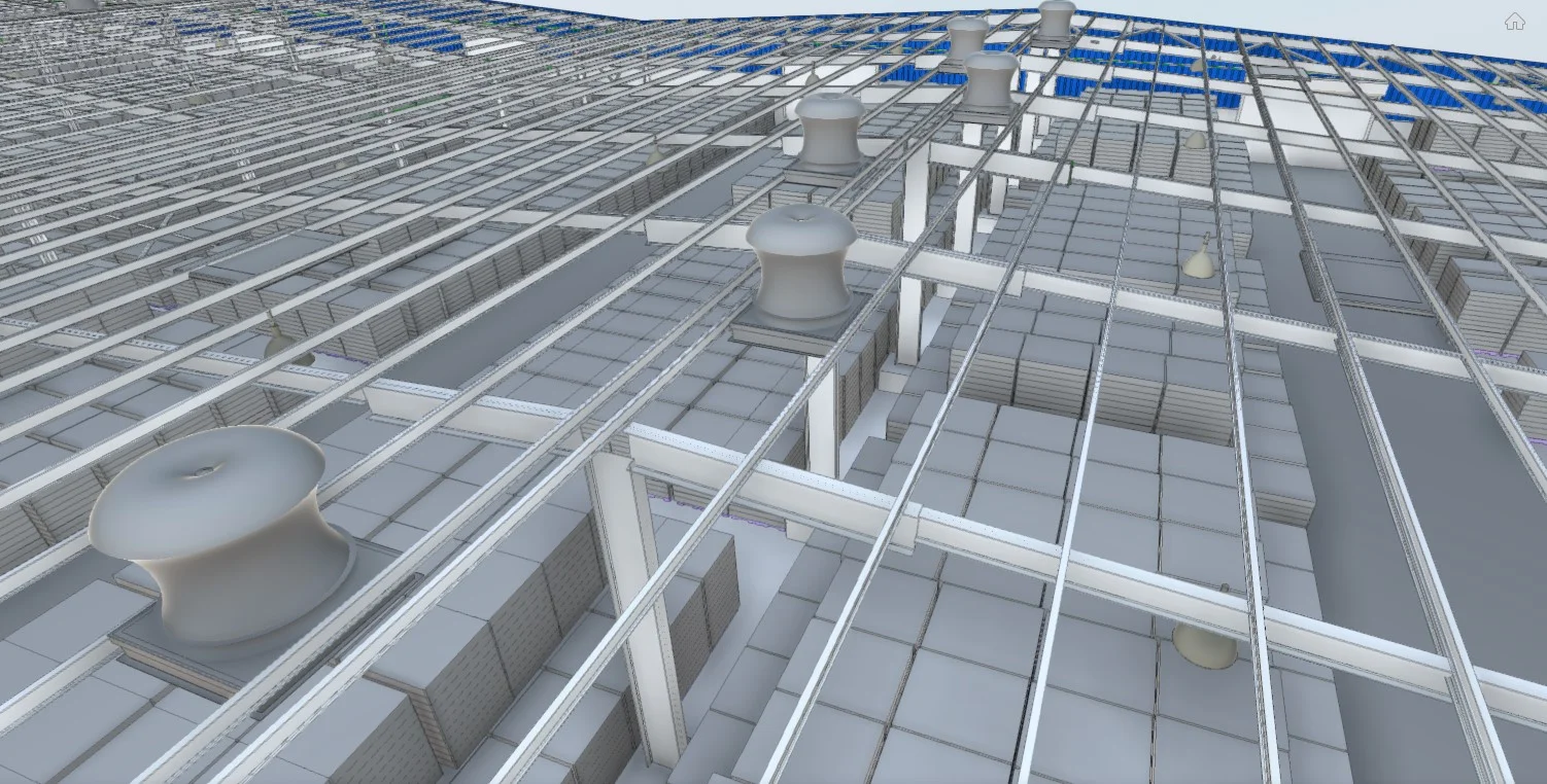
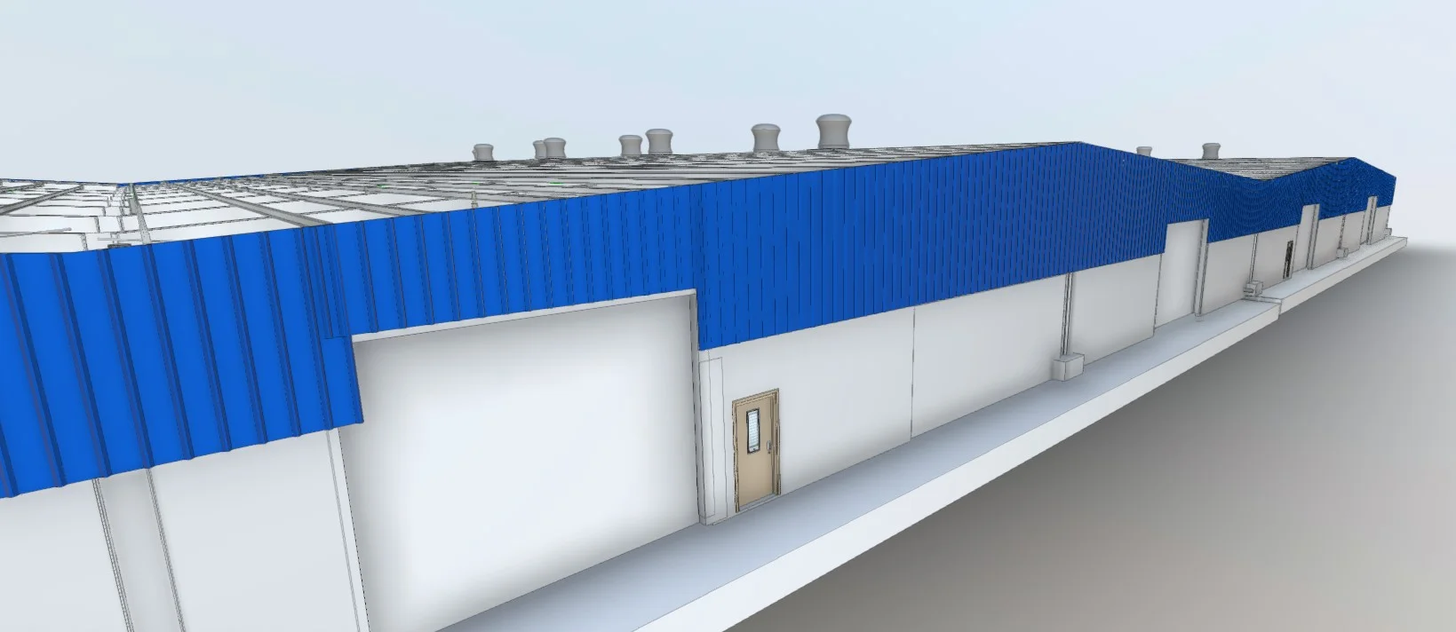
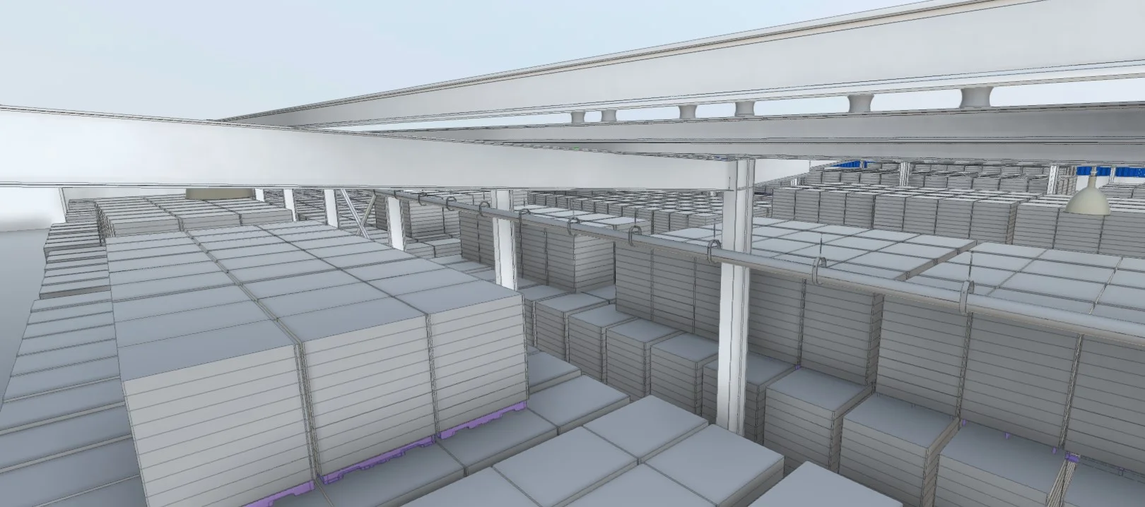
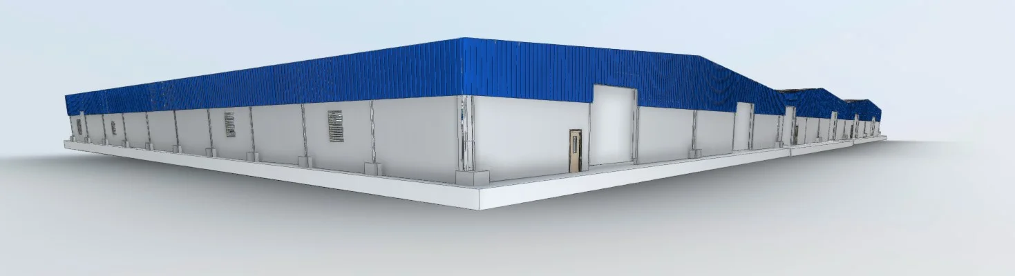
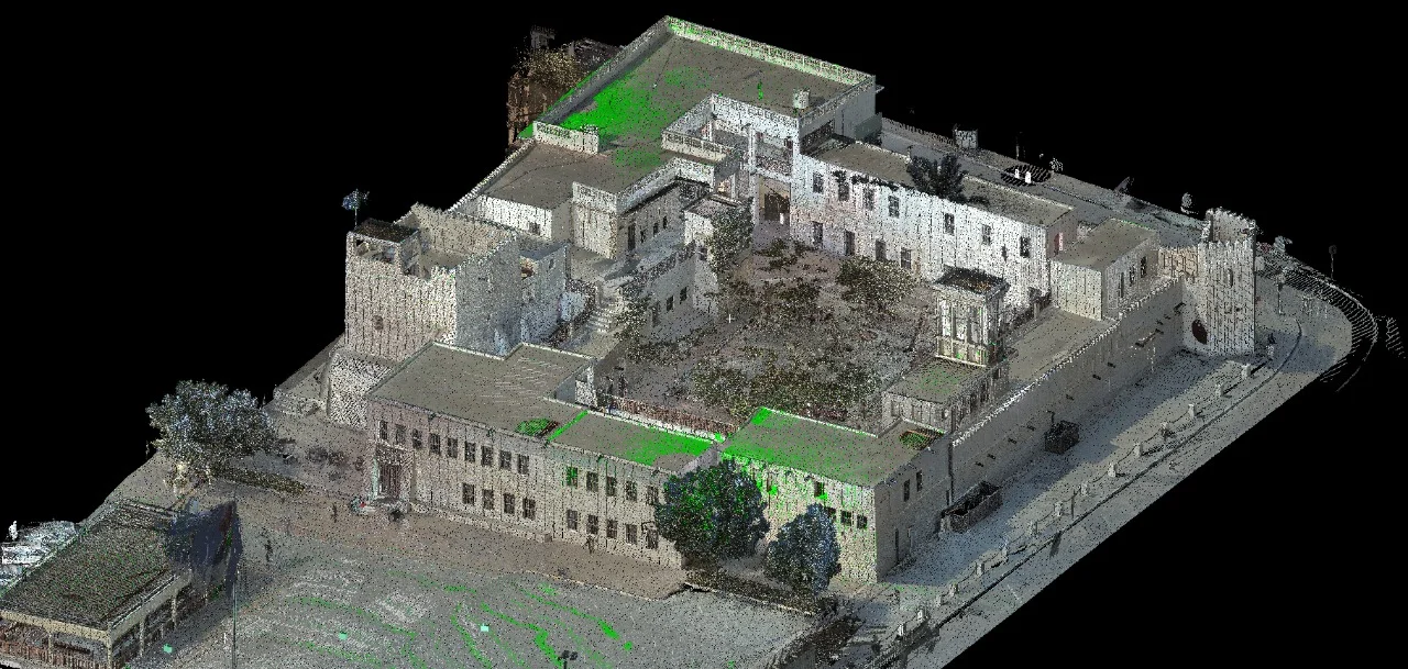
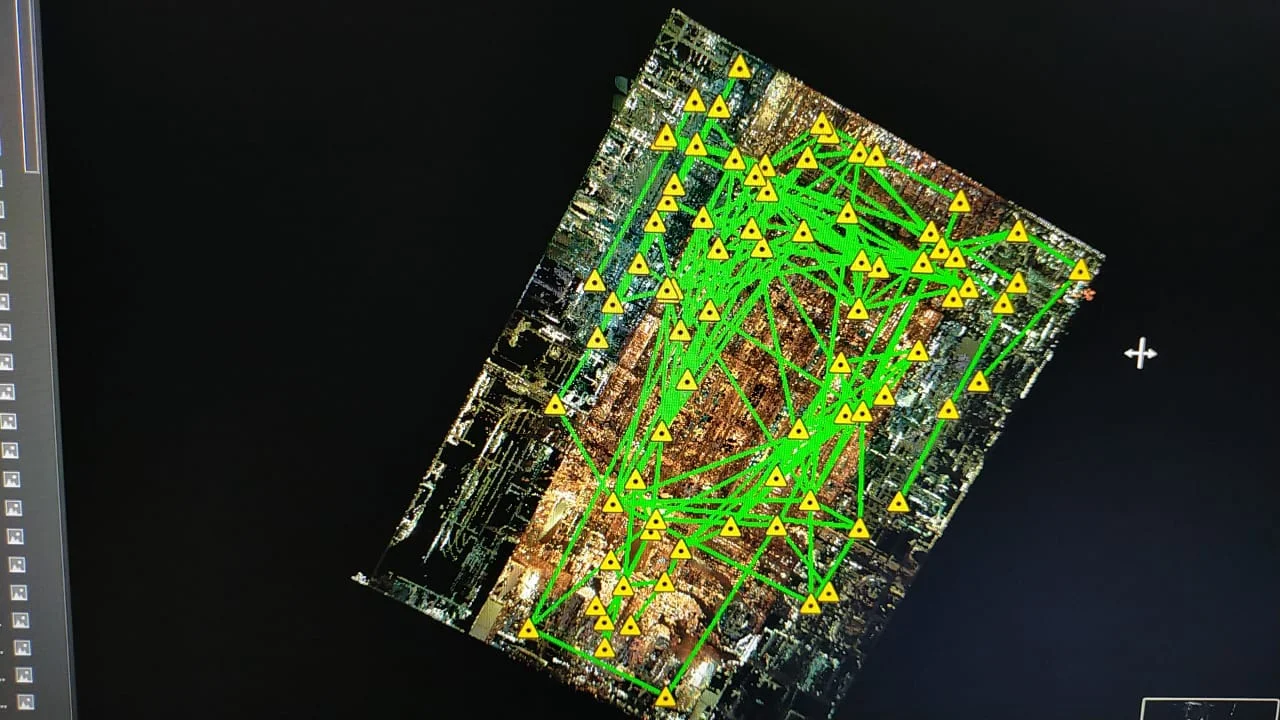
Digital twin development consolidates spatial survey data, 3D models, and geospatial databases into a coordinated digital platform. This structured environment enables visualization, asset tracking, spatial analysis, and informed decision-making across infrastructure and building portfolios.
The digital twin serves as a centralized reference for design coordination, operational planning, and lifecycle management.
Our Methodology
Delivering excellence through a proven three-stage workflow
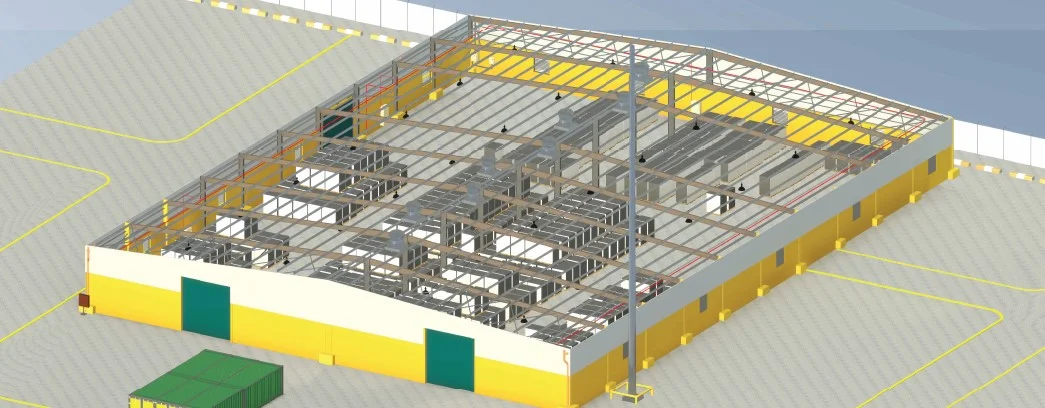
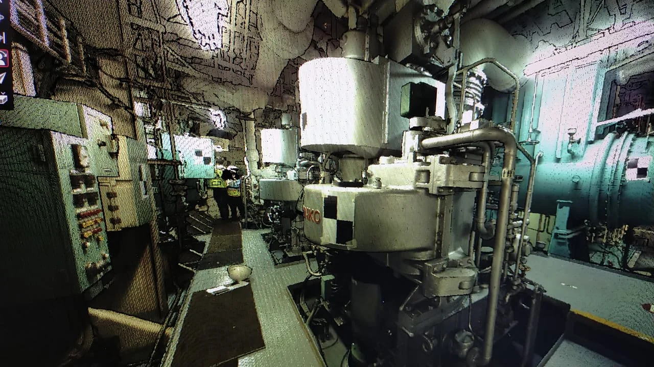
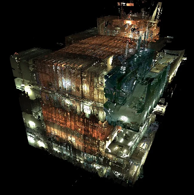
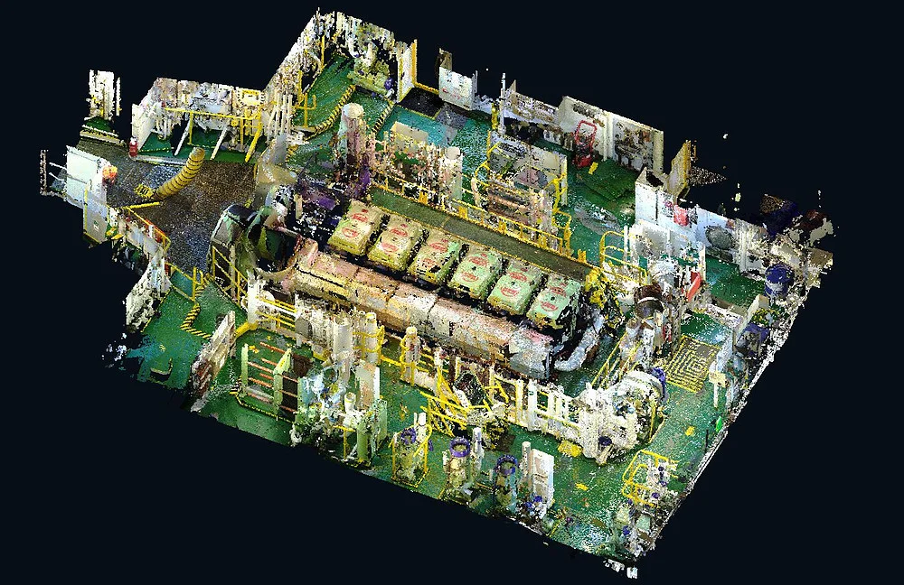
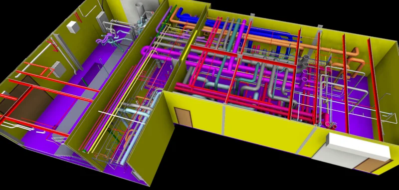
Data Integration
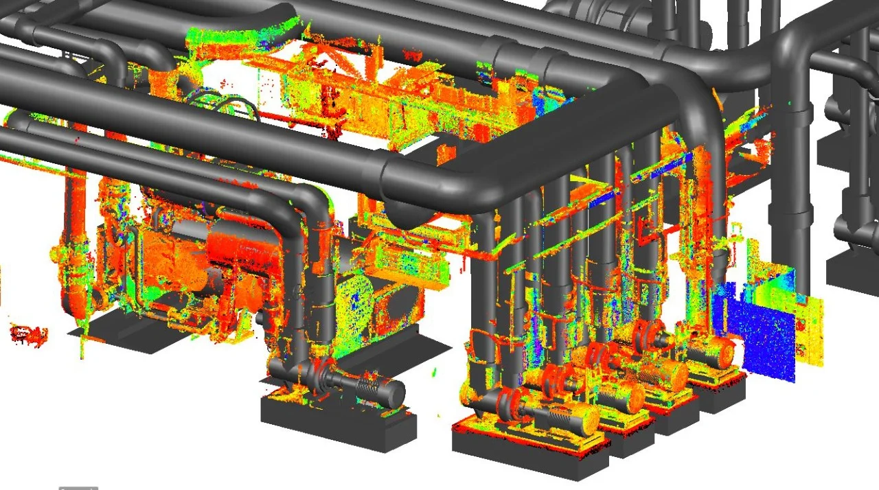
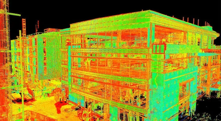
Consolidation of survey datasets, point clouds, BIM models, and GIS layers into a unified coordinate system.
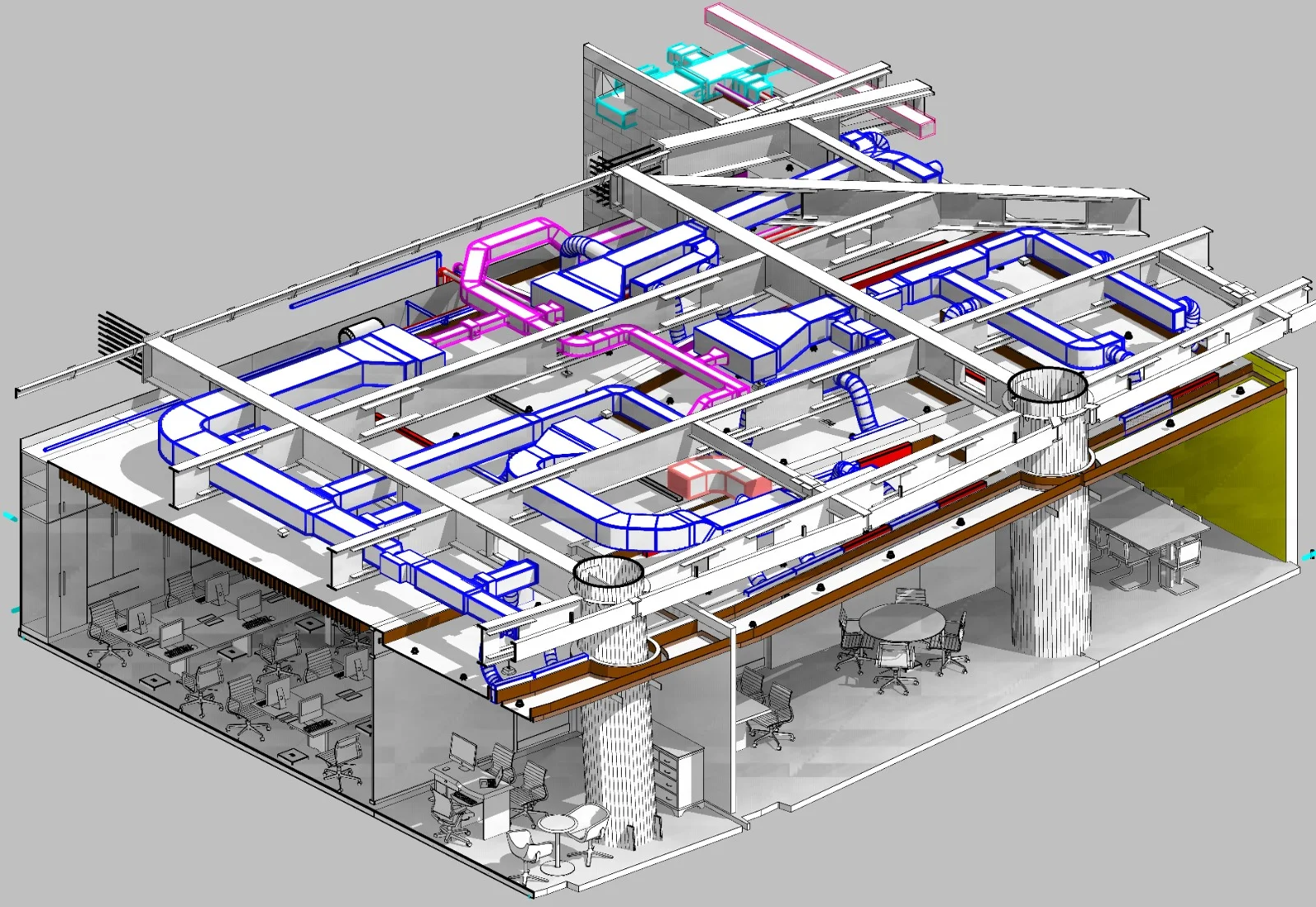
Model Structuring & Linking
Association of asset attributes, metadata, and documentation with corresponding 3D and spatial elements.
Platform Deployment & Validation
Configuration within digital twin platforms for visualization, analysis, and stakeholder access.
Applications
Industry sectors and use cases we serve
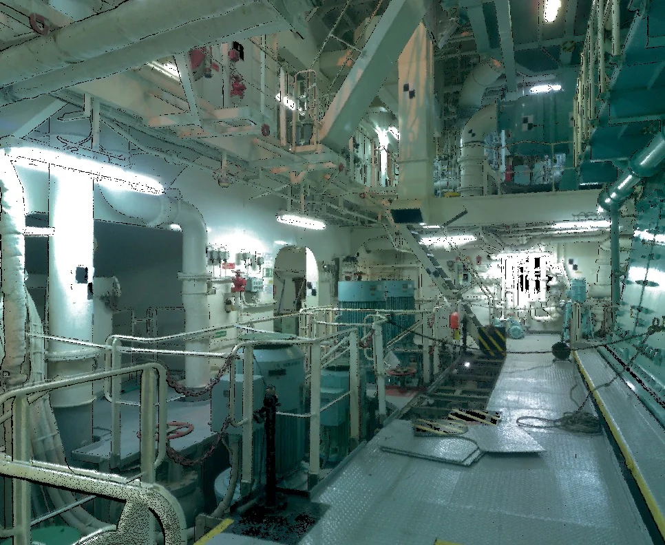
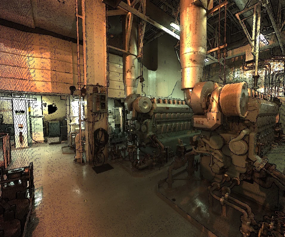
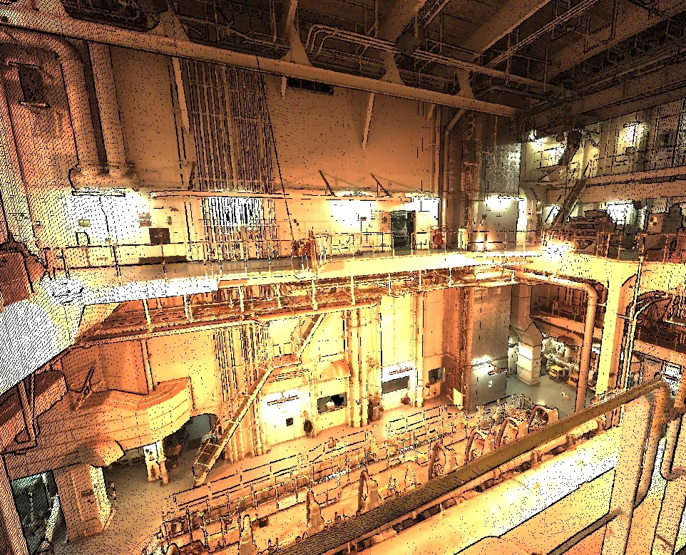
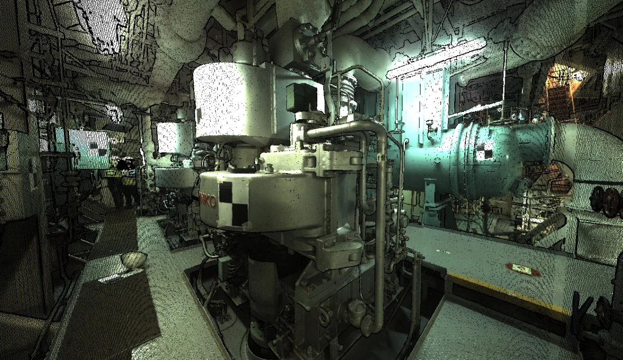
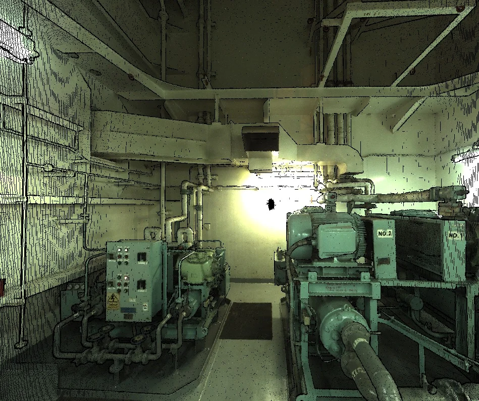
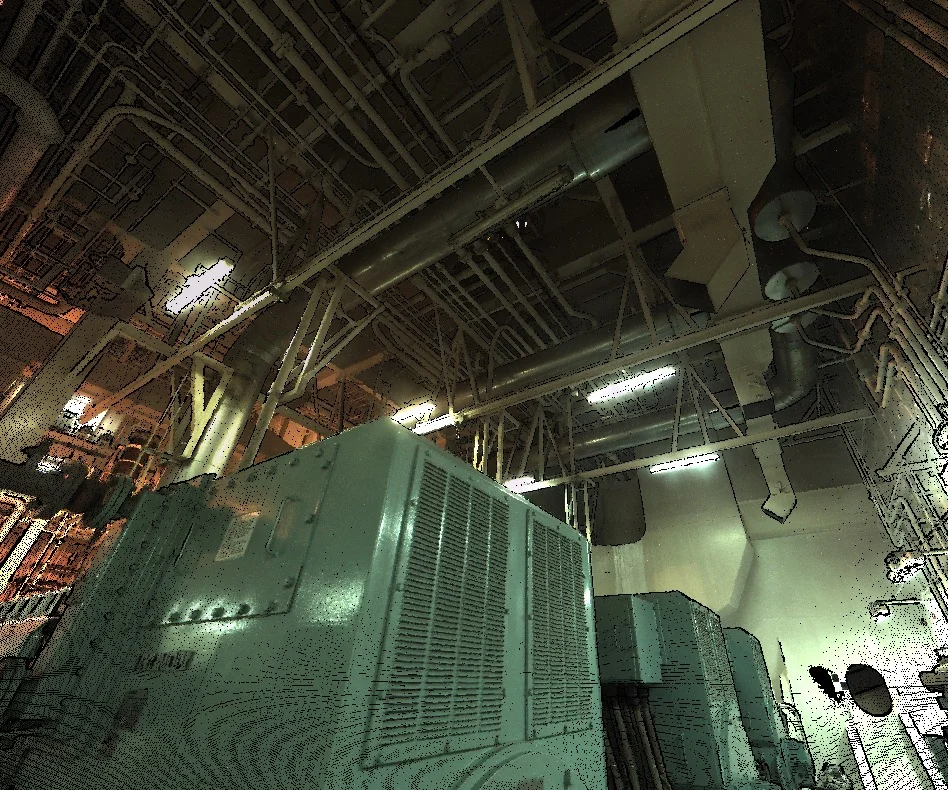
Facility & Asset Management
Centralizes structural and utility information for operational oversight
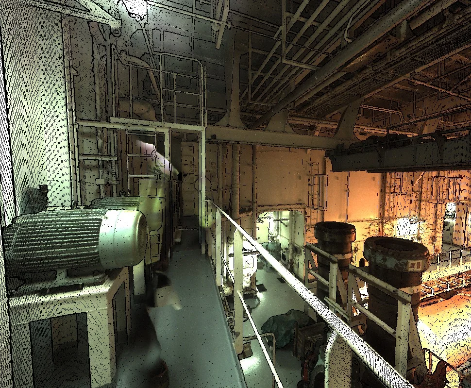
Infrastructure Monitoring
Enables structured visualization of corridors and asset networks
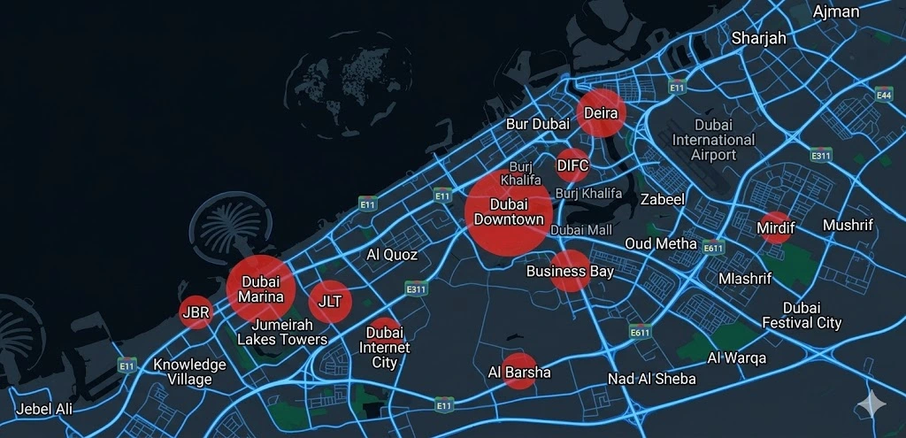
Urban Development Projects
Integrates multi-layer spatial data for planning coordination
Redevelopment & Lifecycle Planning
Supports long-term asset performance evaluation
Deliverables
What you receive at the end of every project
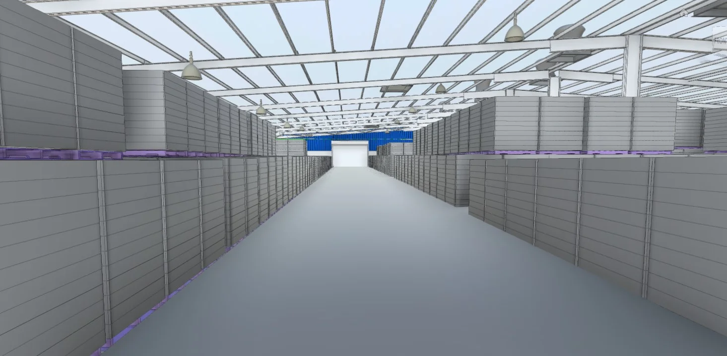
- Integrated 3D digital twin environment
- Linked BIM and GIS datasets
- Asset attribute database
- Spatial visualization interface
- Model documentation and user guide
- Export-ready model and data files


Technology Stack
Industry-leading equipment and software
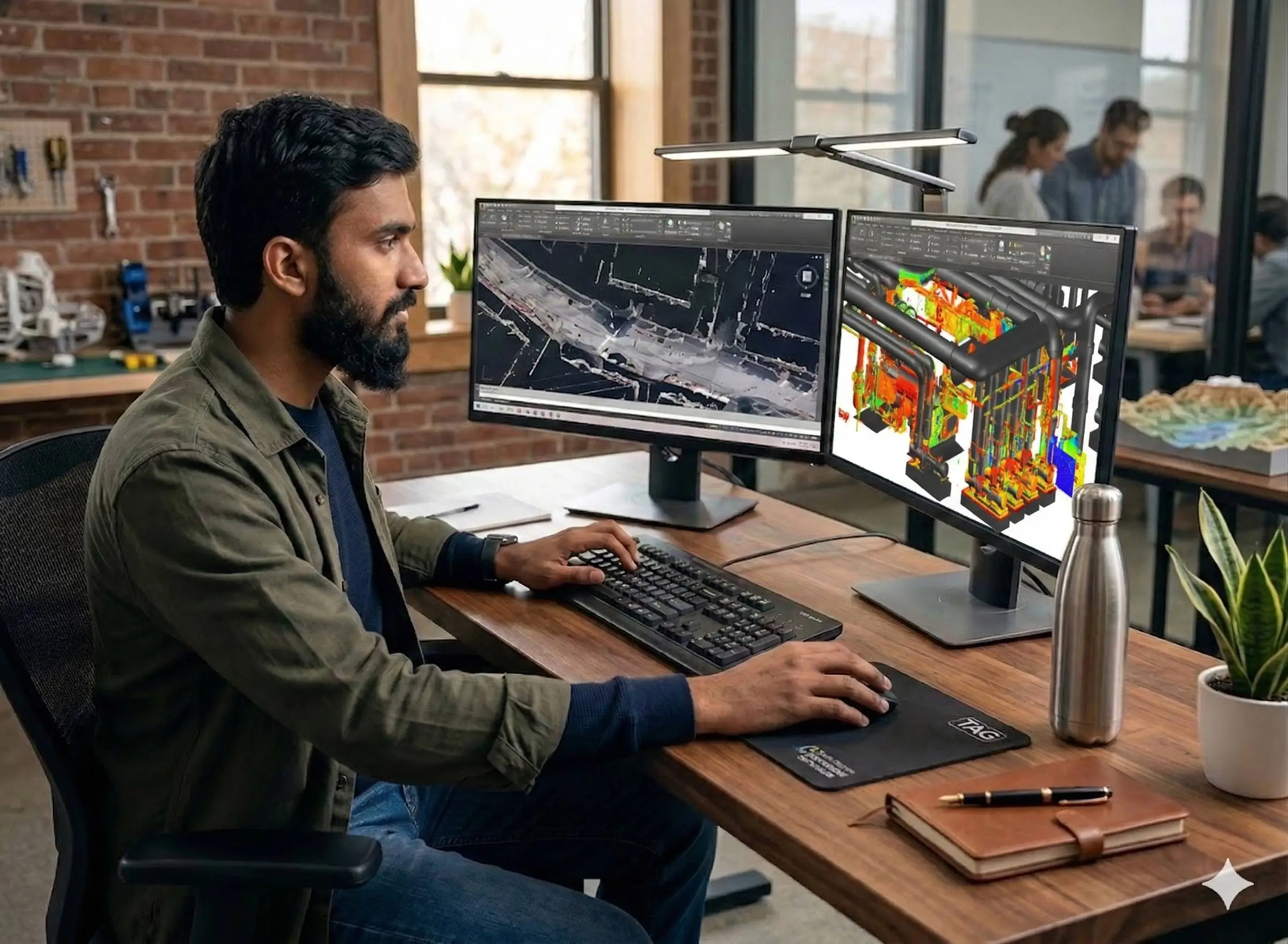
Autodesk Tandem
Advanced surveying technology for precision data capture and analysis.
Revit & Navisworks
Advanced surveying technology for precision data capture and analysis.
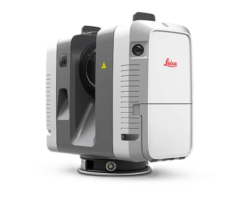
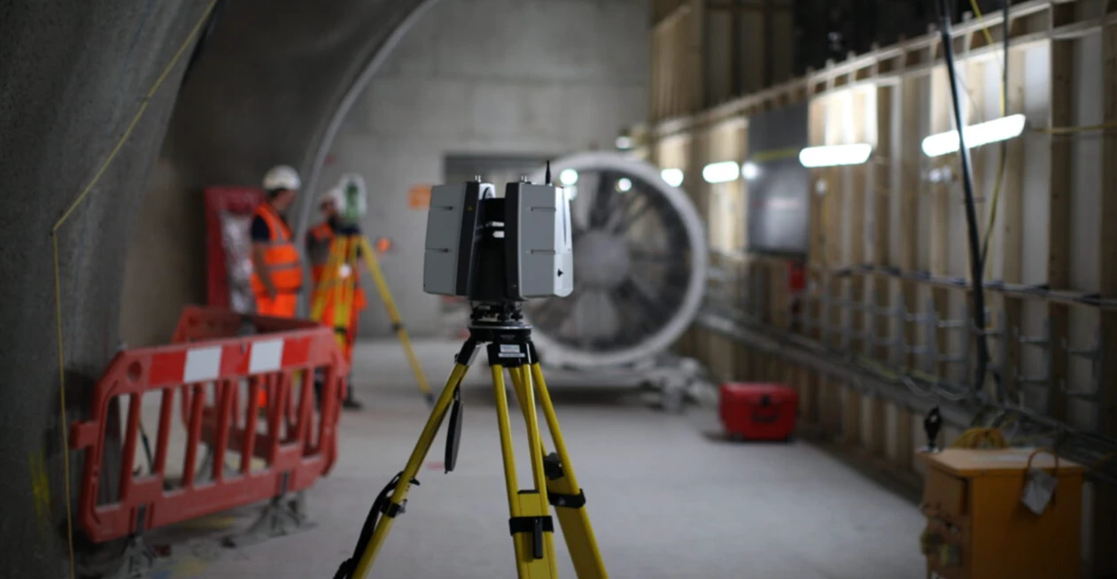
Leica RTC360
Advanced surveying technology for precision data capture and analysis.
Azure Digital Twins
Advanced surveying technology for precision data capture and analysis.
Power BI
Advanced surveying technology for precision data capture and analysis.
Frequently Asked Questions
A digital twin is a dynamic, data-connected 3D model of a physical asset that updates in real-time and supports analysis, simulation, and lifecycle management.
BIM models are static design/as-built representations. Digital twins add real-time data, IoT integration, and operational intelligence for ongoing management.
We integrate laser scan data, BIM, IoT sensors, CMMS, building management systems, and other operational data sources.
Typical projects take 4-8 weeks depending on asset complexity, data availability, and required integrations.
Have more questions?
Our team of experts is ready to assist you with your specific project requirements across the GCC.
Related Services
Explore our other professional surveying solutions
3D Laser Scanning
High-precision terrestrial laser scanning for detailed 3D capture of buildings, structures, and industrial environments.
BIM Modeling Dubai
Professional BIM modeling services in Dubai and the UAE. Scan-to-BIM, Revit modeling, and LOD 100–500 models from point cloud and survey data for construction, renovation, and facility management projects.
GIS & Geospatial Solutions
Structured geospatial data management, mapping, and spatial analysis services for infrastructure and asset systems.
Contact us directly
Reach our team instantly via WhatsApp, phone, or email.
Also available in Riyadh