Every project starts with a topo: levels, boundaries, kerbs, trees, manhole covers. What it doesn't show is what's under the covers — and that is where the design meets the ground.
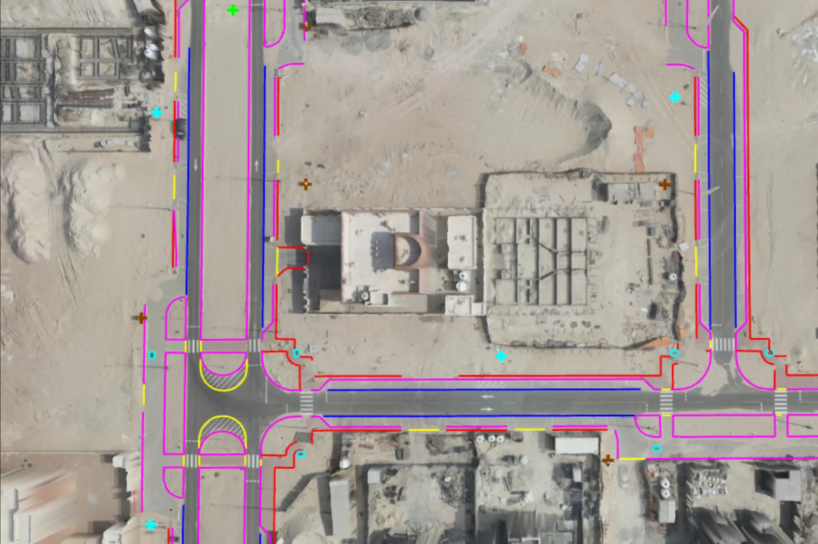
The survey everyone orders, and the half of the site it leaves out
The topographic survey is the first line on every survey scope, and rightly so. Design levels, drainage falls, boundaries, setting-out — all of it comes off the topo. It is the surface of the site, measured properly, and no design should start without it.
But a topo records the site as a surface. A manhole cover is a point on the drawing; the sewer under it, its depth and the direction it runs are not. The water main, the power cable, the district cooling pipe, the telecom duct — invisible to a total station, invisible to a drone. So the design begins on a drawing that shows everything above the ground and nothing below it. And the first things built on any site — foundations, drainage, service connections — go underground.
The reframe: A topographic survey tells you where you can build. A utility survey tells you where you can't.
What the topo can't tell you
Depth as laid
The record shows the design depth. The ground has the as-laid depth, and the two are not the same. The topo gives you the manhole rim and nothing below it.
Crossings
Every new connection crosses an existing line on its way to the road. The only thing that matters at a crossing is the vertical gap — and the topo cannot see it.
Unrecorded services
Older districts, redeveloped plots, sites with a previous structure: abandoned lines, temporary supplies, irrigation and lighting cables. Not on the record, not on the topo.
Clash zones
Where new foundations, drainage and service connections cross existing lines. The topo can't show a clash it can't see.

One mobilisation. Both halves of the site.
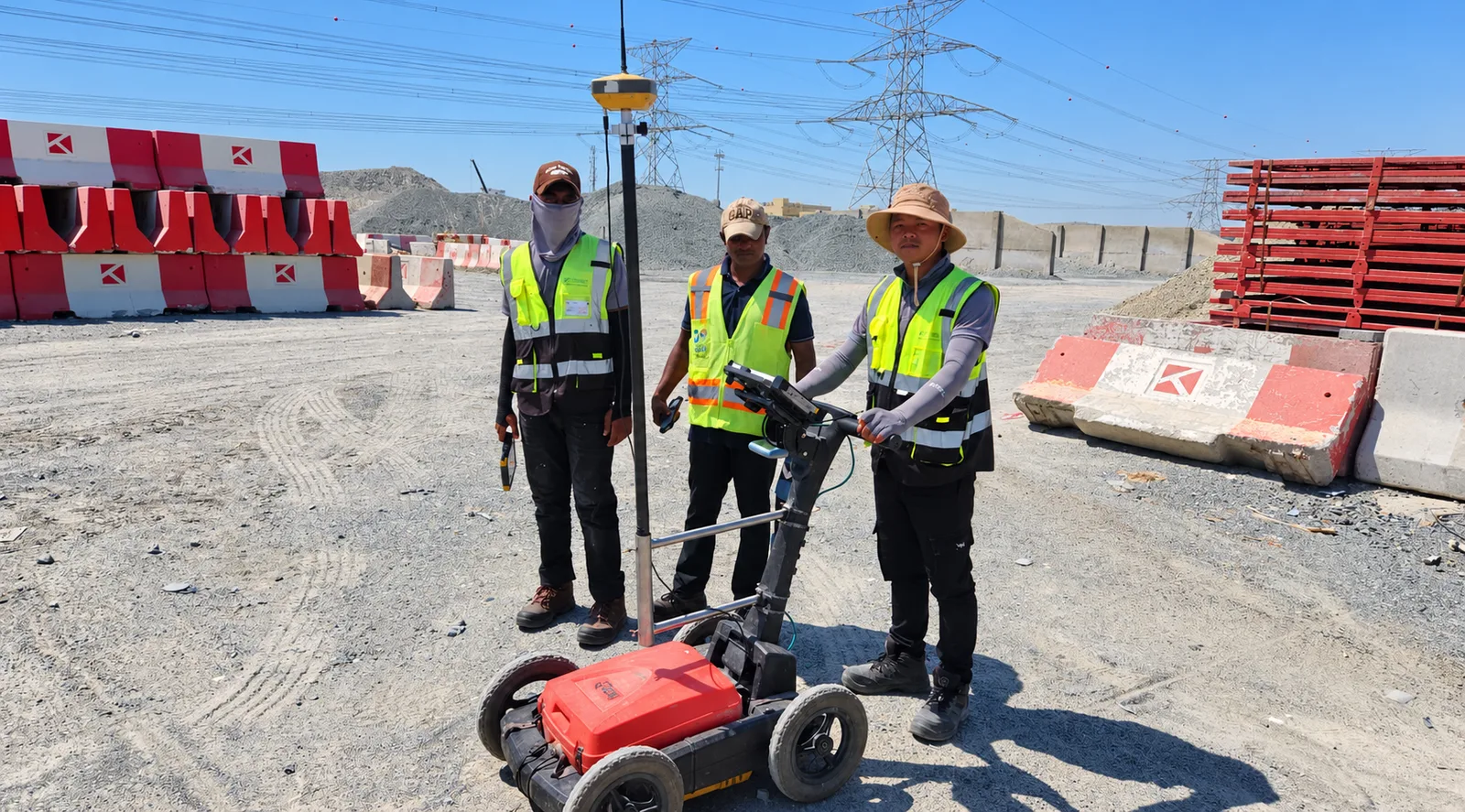
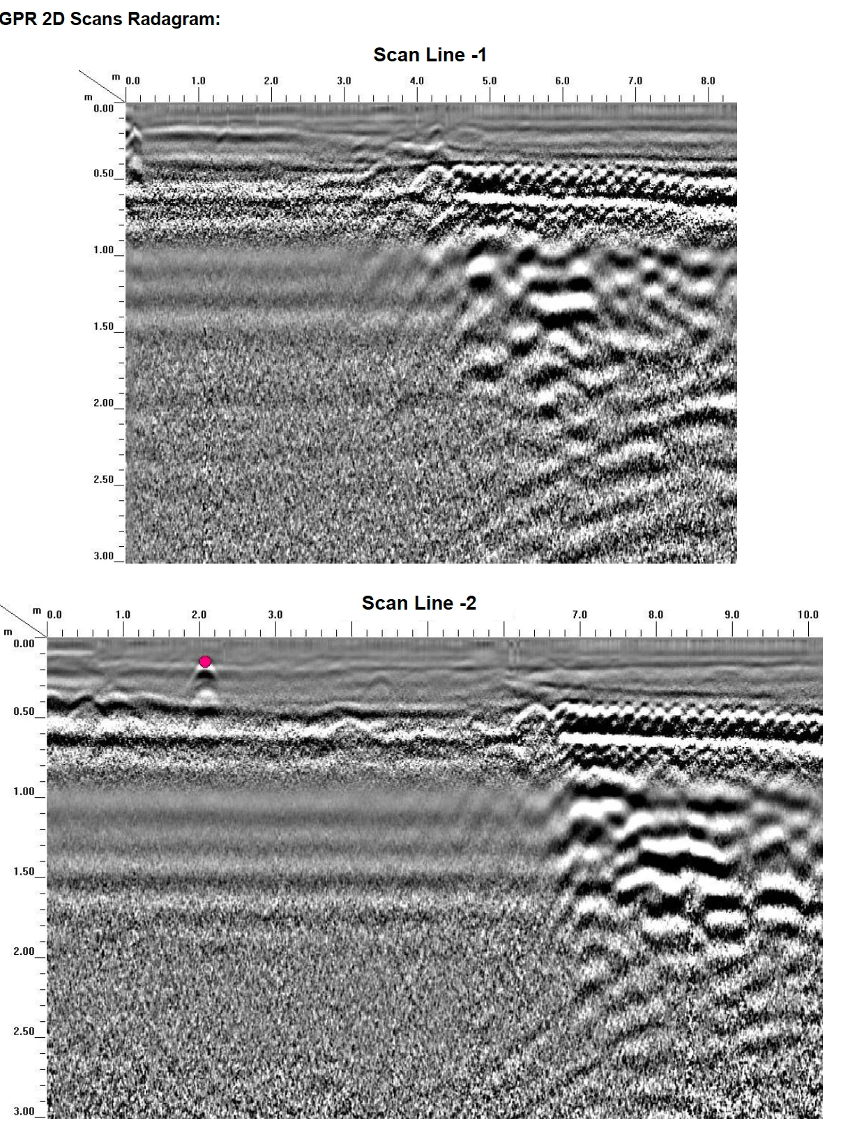
At Al Warqa Survey Engineering, scope the utility survey alongside the topographic survey — same control network, same site visit. Ground penetrating radar and electromagnetic location pick up metallic and non-metallic services; a chamber survey records invert levels, pipe sizes and connectivity at every manhole. All of it is tied to the same control points as the topo.
The deliverable is one drawing, not two: the surface and the subsurface on the same coordinates, the same datum, in the same CAD or GIS file. The designer works from a site that has been surveyed all the way down — not from a topo, then a strike, then a utility survey ordered after the damage.
Topographic survey · GPR · Electromagnetic location · Chamber survey · One combined CAD / GIS drawing
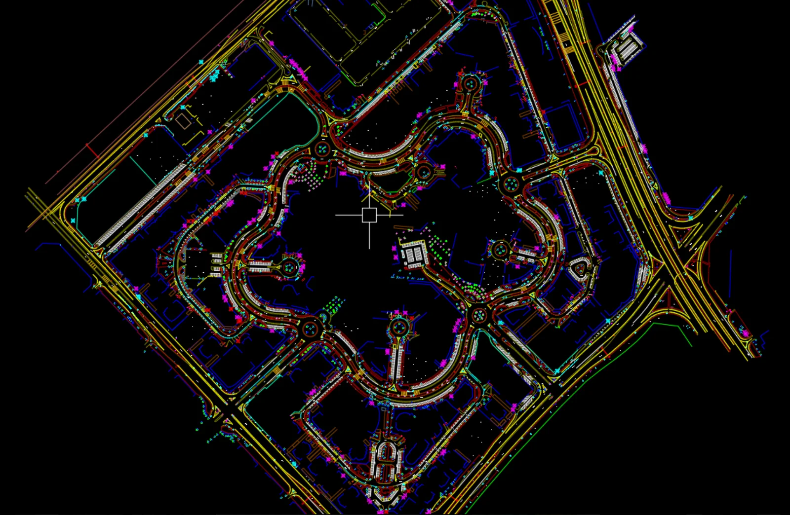
A typical engagement: what the second half of the survey finds
In a planned district the record is usually right about where things run — in the road corridor, in the right order, at the right setback. What the record doesn't carry is depth as laid. On a plot development, the new sewer connection has to cross an existing duct bank on its way to the road. The design puts it underneath, using the depth on the record. The chamber survey and the GPR give the actual invert of the duct bank — and the cover left between the two lines is not what the drawing assumed. Found on the drawing, the invert is adjusted at design stage. Found at the trench, the road is already open and the redesign happens with the contractor standing in it.
And on the plots where the record is thinner — older districts, a plot being redeveloped after demolition, a site that had a previous structure on it — the survey finds more than depth: abandoned connections, old septic lines, temporary construction supplies that were never removed, irrigation and lighting cables that were never on any record. Those are the sites where the utility survey earns its line on the scope several times over.
What changes on the drawing board
With both halves of the site on one drawing, the design is done once — and the contractor has something to show for it later:
- Foundations — designed around the services that are there, not relocated after the piling rig has arrived
- Drainage — falls designed to real invert levels, not assumed ones
- Service connections — priced from where the mains actually run, not from where the record says they should
- Excavation — sequenced with the underground known, so the programme does not stop for an investigation
- The record — a dated, signed survey report showing the underground was checked before ground was broken. If a strike still happens, the contractor can show what was known, what was checked, and what was never on any record
The utility survey is a line on the same quote as the topo. Leaving it off is not a saving — it is a decision to find out later, at the price the excavator sets, with nothing on file to show that anyone looked.
From the surface to the whole site
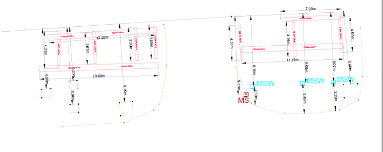
- Topographic survey to the specified accuracy, on the project datum
- Underground utility map — service type, position, depth and confidence level
- Chamber survey with invert levels, pipe sizes and connectivity
- One combined CAD / GIS drawing the design team works from, plus a dated survey report kept on file as proof of due diligence before excavation
Survey the surface, or survey the site?
The old scope: order the topo, design on it, dig, hit something, stop, order the utility survey, redesign. The utility survey gets bought either way — just after the cost of not having it has already been paid.
The complete scope: order both together, on the same control, delivered as one drawing. The site is known all the way down before the first line of design is drawn, and the ground holds no surprises the drawing did not already show.
Survey the whole site. Then design on it.
Issuing a survey scope this month? Send it to business@alwarqasurvey.com and we'll mark up where the utility survey belongs and what it adds to the quote. No charge for the answer. Send us your scope
Need a Survey in Dubai?
Al Warqa Survey Engineering — ISO 9001:2015 certified, operating since 2000. 15,000+ projects completed across the UAE and KSA.
Get a Free Quote