Still Waiting on Your Drone Permit? Here Is How We Kept Three Projects on Schedule
Three projects this month hit drone permit delays. None of them missed their delivery date. Here is how we responded — switching from UAV to mobile LiDAR, terrestrial scanning, and RTK GNSS without moving a single deliverable deadline.
UAV approvals across the region are running longer than usual — for valid security reasons that we support fully. What sits on our side of the table is whether the deliverable date moves with the permit date. This month, on three separate projects, it did not.
This is not a workaround story. It is how a multi-sensor survey practice is supposed to function: the outcome is fixed, the modality adapts to whatever constraint — permit, access, weather — arrives on the day.
Project 01 — Mountain Highway Corridor (40 km Extension)
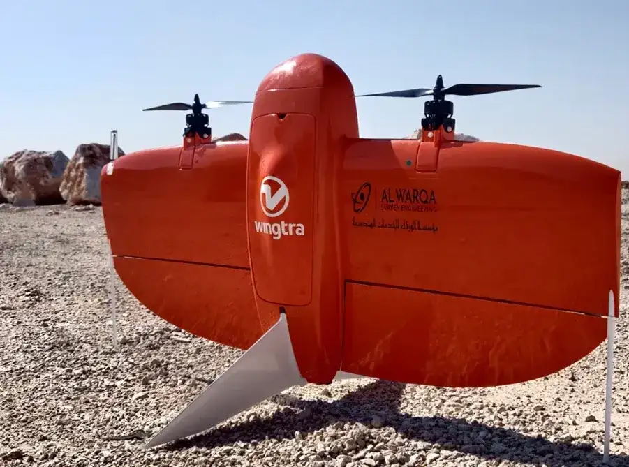
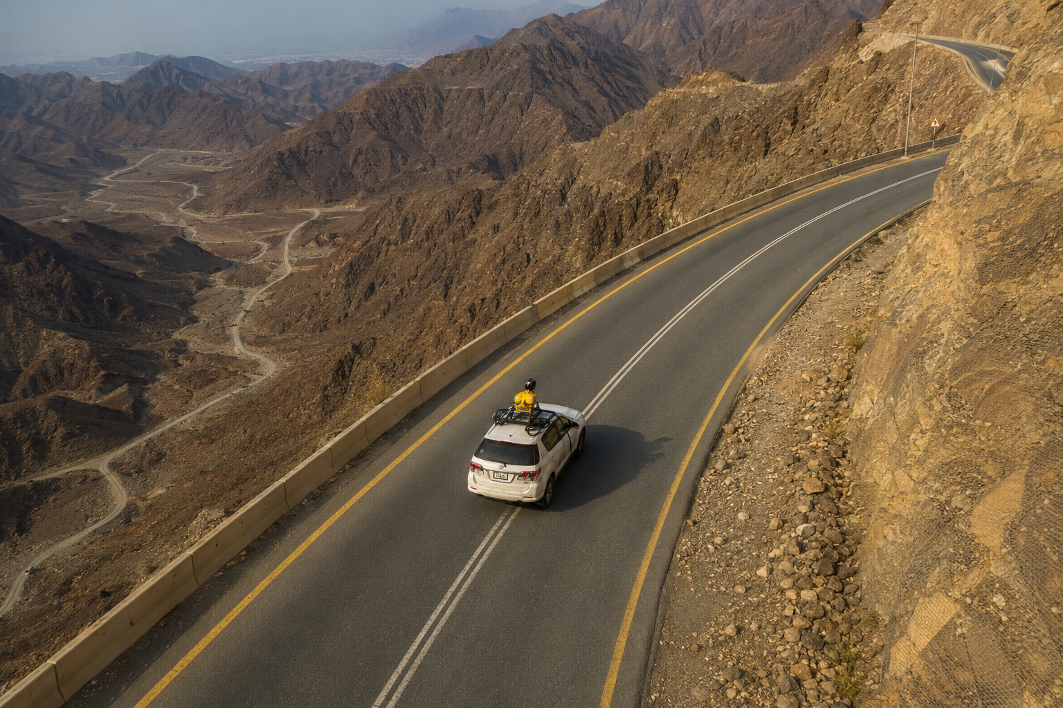
UAV photogrammetry had been scoped as the primary acquisition method — chosen for coverage rate over the 40 km distance and for the slope geometry that makes ground-only surveying slow and hazardous. When the permit slipped, we deployed the Trimble MX50 mobile mapper along the existing alignment, post-processed against a control network we had already established on the ground.
Point cloud density came in within specification. Vertical accuracy held inside the Statement of Work tolerance. On the steeper flanks where the mobile mapper could not achieve a clean offset from the carriageway, we infilled with a Leica P40 terrestrial scanner deployed from the road shoulder, registered into the same control network. The design team received a seamless corridor dataset.
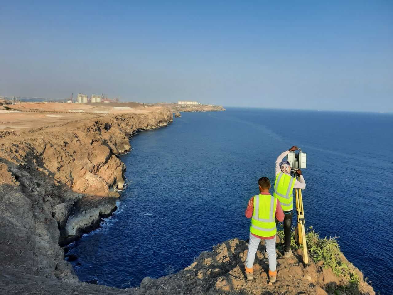
Project 02 — Urban Development Masterplan (Restricted Airspace)
Restricted airspace over the city, with the UAV approval window extended for valid security reasons. The drone had been scoped for existing-conditions topographic capture across the masterplan boundary — a mixed urban area with plot interiors, streets, and partial structures.
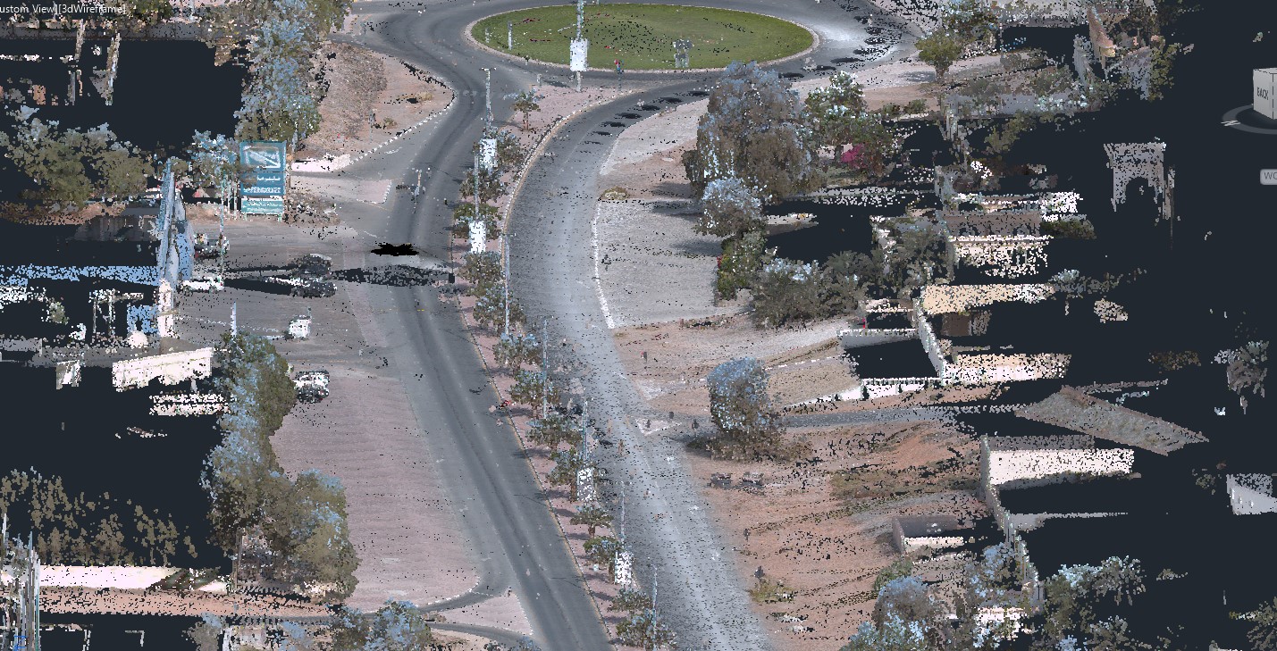
We moved the street and corridor work onto the Trimble MX50 operating at off-peak hours and ran a parallel RTK GNSS topographic crew with total station support on the plot interiors. The MX50 trajectory and the GNSS ground crew tied into the same control network. The integrated existing-conditions model went to the design team on the original date without disruption.
Project 03 — Mountain Slope and Rockface (Design-Stage Terrain Capture)
Terrain and rockface mapping on a critical slope for design-stage structural review. UAV had been planned for the upper sections where ground access was limited and the slope geometry made conventional survey methods impractical.
We deployed the Leica P40 across multiple vantage points along the accessible benches and ridgelines, with RTK GNSS on the lower accessible ground. The slope geometry and surface detail the design team needed for their review were captured without any UAV deployment — and without any extension to the programme.
Same Deliverable. Different Sensor.
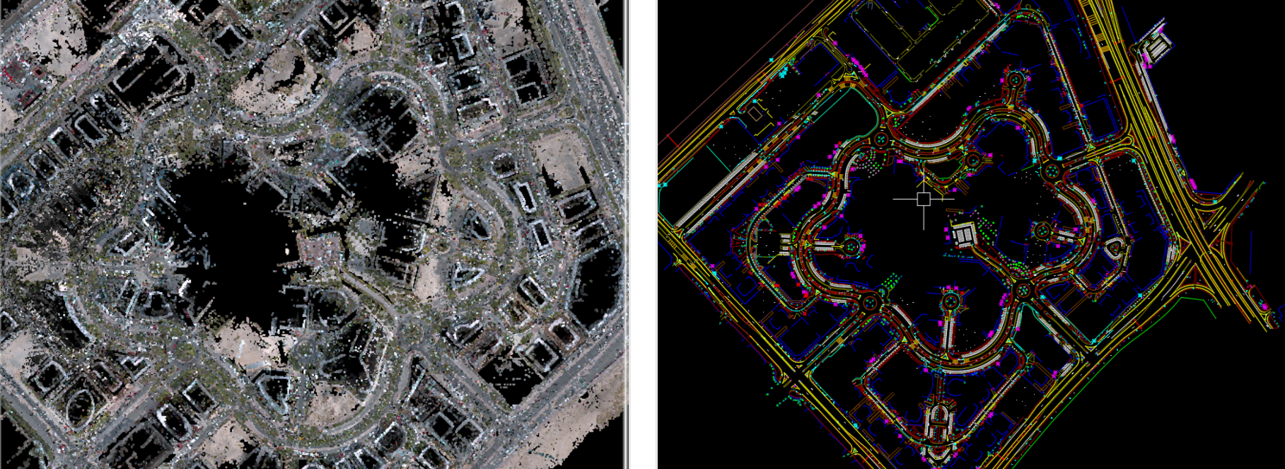
What the design teams received across all three projects was identical in engineering terms to what had been scoped under the UAV programme: classified point clouds, CAD drawings, and digital terrain models referenced to a single control network, delivered within the original accuracy tolerances.
- Sensors deployed: Trimble MX50 mobile mapper, Leica P40 terrestrial scanner, RTK GNSS, robotic total station
- One ground control network absorbed every sensor switch across all three projects
- All three datasets delivered to consultants on the original date
- Zero scope changes, zero tolerance compromises, zero programme slippage
Subcontractor or Solution Partner?
A single-service subcontractor delivers that service. When the permit slips, the access window closes, or the weather changes — the service stops, and the programme stops with it. A solution partner delivers the outcome. Same scope, same tolerance, same delivery date — achieved by switching the modality as the constraints change.
This is the practical difference between a company that operates one technology and a company that operates eight. Drone permits will continue to experience delays for legitimate reasons. Projects managed by a multi-sensor practice do not have to wait for them.
Al Warqa Survey Engineering operates mobile LiDAR, terrestrial laser scanning, drone survey (GCAA-licensed), RTK GNSS, and total station crews across the UAE and KSA. If your project has a permit delay, access constraint, or tight programme — contact us. We will scope the right combination of sensors to keep your deliverable on schedule.
Need a Survey in Dubai?
Al Warqa Survey Engineering — ISO 9001:2015 certified, operating since 2000. 15,000+ projects completed across the UAE and KSA.
Get a Free Quote