Progress Monitoring In Dubai
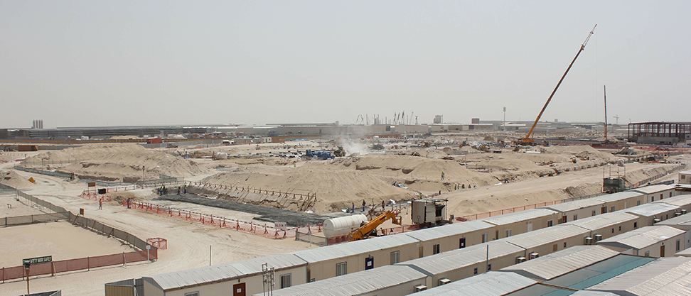
Progress monitoring at regular intervals enables to visualize the growth of the project as well as reduces the changes of any possibility of delay /failure at very primal stages. Progress monitoring enables to steer the project as per the plan thus saving time and making the best use of resources involved. UAV Based progress monitoring is utilized for construction/deconstruction activities, pipeline routing by infrastructure developers, city planners, highway developers, oil and gas companies, water infrastructure developers.
Drones in construction and infrastructure
According to a McKinsey study, the construction industry struggles with a great deal of inefficiency. Large construction projects typically take 20% longer than expected to complete and are up to 80% over budget. Compared to other sectors, the industry has been slow in embracing new digital technologies, even though the long-term benefits are significant. It is time for disruption. And according to the study, commercial drones—or unmanned aerial vehicles (UAVs)—are key to this. A drone is mainly used in the construction industry for surveying and inspection purposes. Drones are equipped with downward-facing sensors, such as RGB, multispectral, thermal or LIDAR, and they can capture a great deal of aerial data in a short time. - Drones provide a complete picture of the construction site on-demand and within a few hours. - The aerial images also act as a visual aid when communicating with all parties, so that everyone can see for themselves what has already been done and what remains to be done. - The complexity and scale of such projects exposes them to many challenges this technology can help solve, including long and costly surveys, early identification of construction mistakes, penalties for missing deadlines, miscommunication between stakeholders and contractors, and volumetric assessment. - BIM managers, surveyors and managers in head offices currently have to either travel physically or rely on workers on site to get information about construction progress. By having somebody on site flying the drone and capturing images, you will be able to see the progress of projects directly on your computer, to evaluate it and discuss it with site managers as if you were on site.